Plizio Visual Lab
Mount Kourou
Weather…
Water temperature…
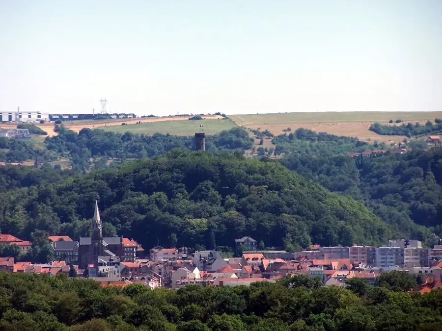
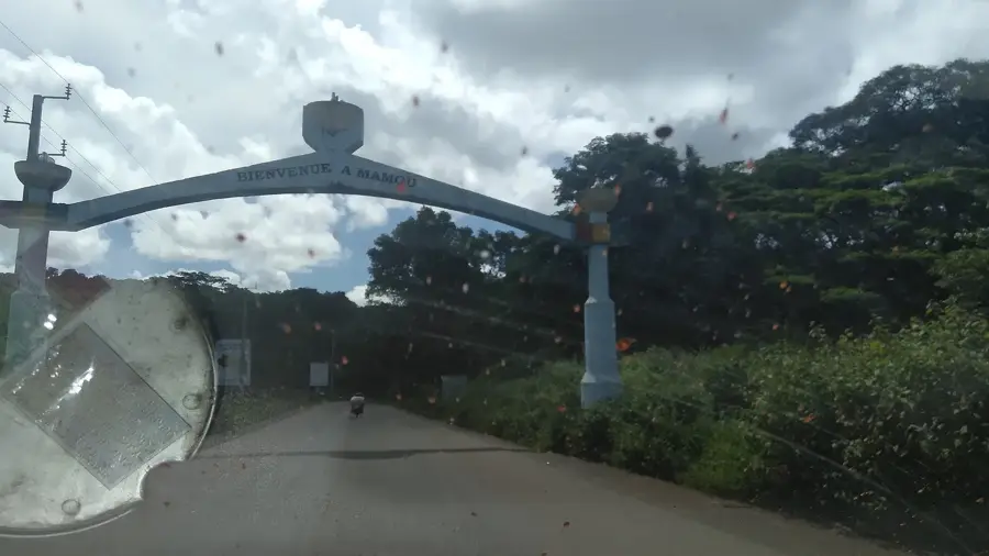
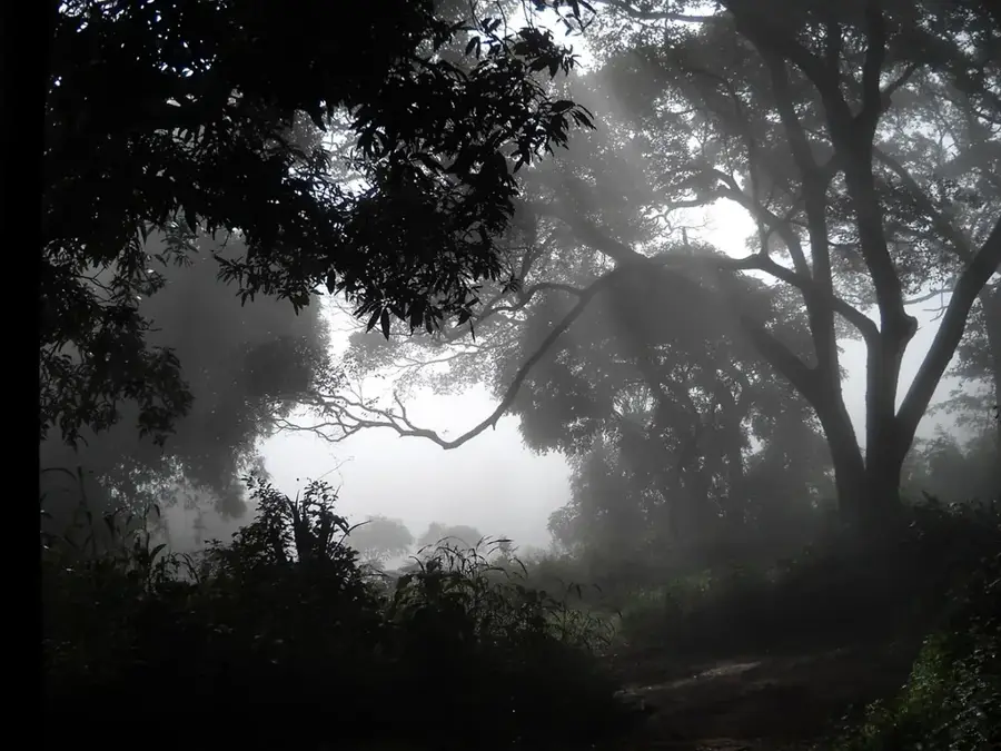
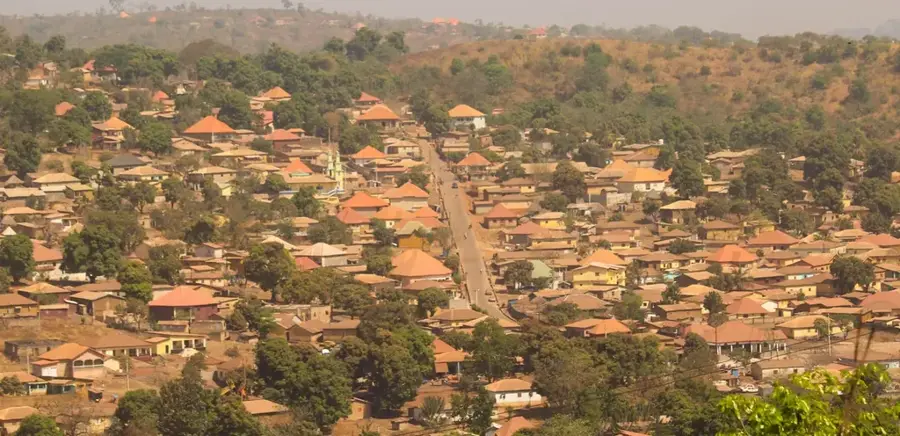
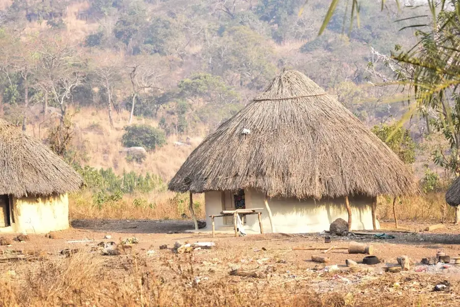
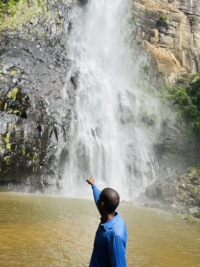
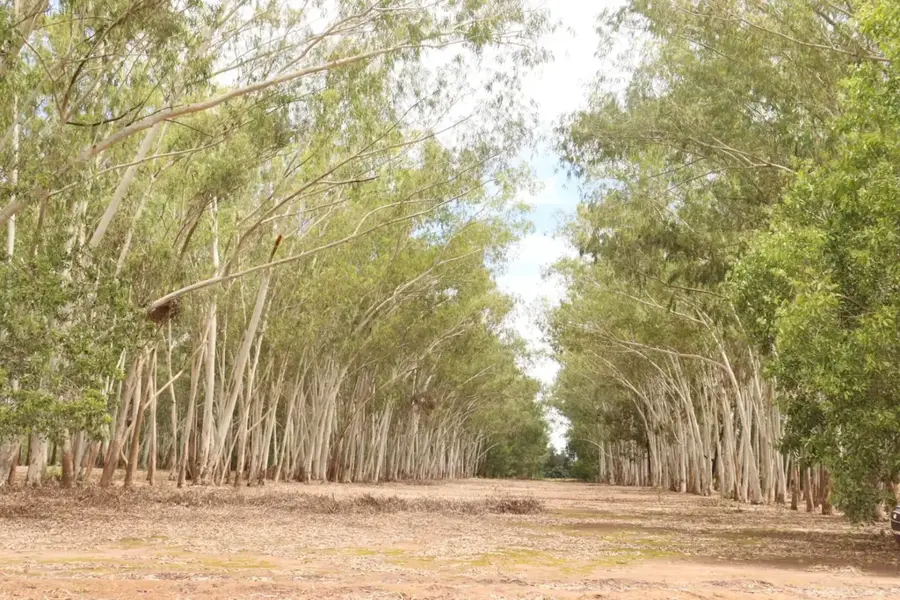
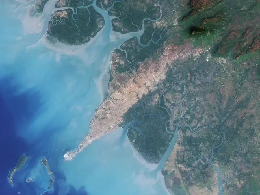
Mount Kourou is a prominent peak in the southern Fouta Djallon, not far from the city of Mamou. It rises as part of a rugged mountain massif and is geologically characterized by a combination of sandstone-like sediments and volcanic intrusions. The summit is often wind-swept and features rather sparse vegetation, while the more protected slopes are covered with mountain forests and grassland. Mount Kourou gives spectacular panoramic views of the Mamou depression and the surrounding high plateaus. The region is climatically characterized by the transition from the humid coastal zone to the cooler highlands. Geomorphologically, the mountain shows clear traces of tropical weathering with bizarre rock formations and deep erosion gullies. For the inhabitants of the region, it is a symbol of home and a popular destination for local excursions.
- Location: Guinea
- Nearby: Tinka (23 km)
Best time to visit & climate
The most pleasant time to visit is Jan, Nov, Dec.
| Jan | Feb | Mar | Apr | May | Jun | Jul | Aug | Sep | Oct | Nov | Dec | |
|---|---|---|---|---|---|---|---|---|---|---|---|---|
| Avg °C | 24 | 27 | 29 | 30 | 28 | 25 | 24 | 23 | 23 | 24 | 24 | 23 |
| Rain mm | 3 | 4 | 5 | 35 | 128 | 246 | 378 | 486 | 334 | 114 | 21 | 1 |
📋 Practical info
Geography
Facts
- The elevation is about 1,050m above sea level.
- Geologically part of the Mamou dolerite series.
- The plateau is often covered by dense fog.
- Important location for the installation of communication towers.
- The climate is significantly cooler than in the nearby lowlands.
- The flora includes various endemic orchid species.
Explore nearby
Notable places around
Route planner — Car & Motorhome
Where do you start? We build the route here, with stops and country notes along the way.
© OpenStreetMap contributors · OpenRouteService
Sights nearby
Frequently asked questions
What is the difficulty level at Mount Kourou?
Is photography allowed on the mountain?
What equipment is essential?
Are there nearby accommodations?
What to do in case of sudden rain?
Mount Kourou: where is it located?
Mount Kourou: when is the best time to visit?
Mount Kourou: why is it worth visiting?

Nearby cities
Nature
More places