Plizio Visual Lab
Dalaba Plateau

Weather…
Water temperature…
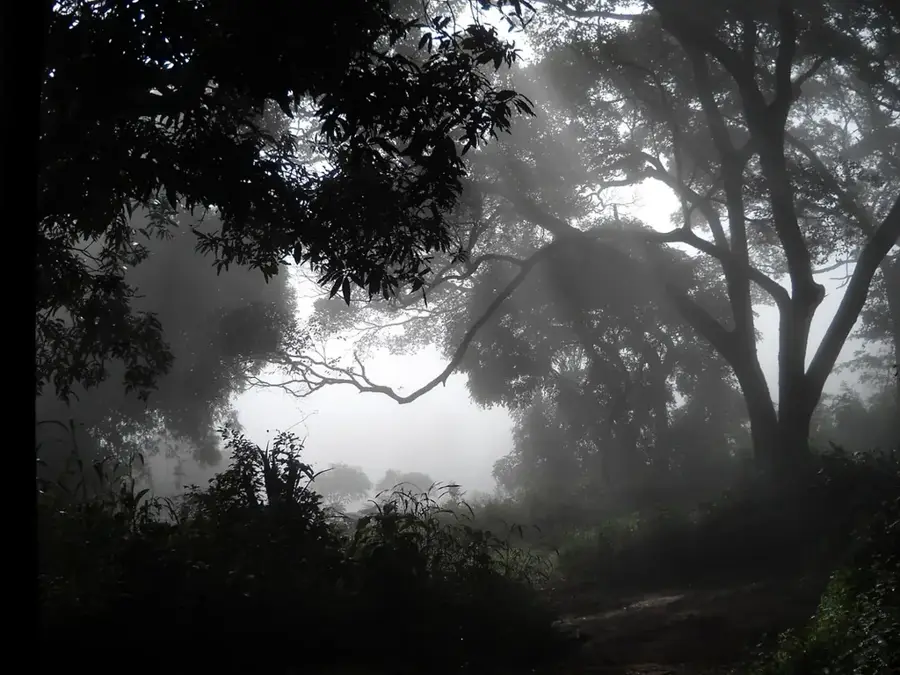
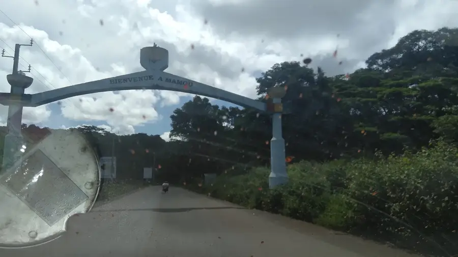
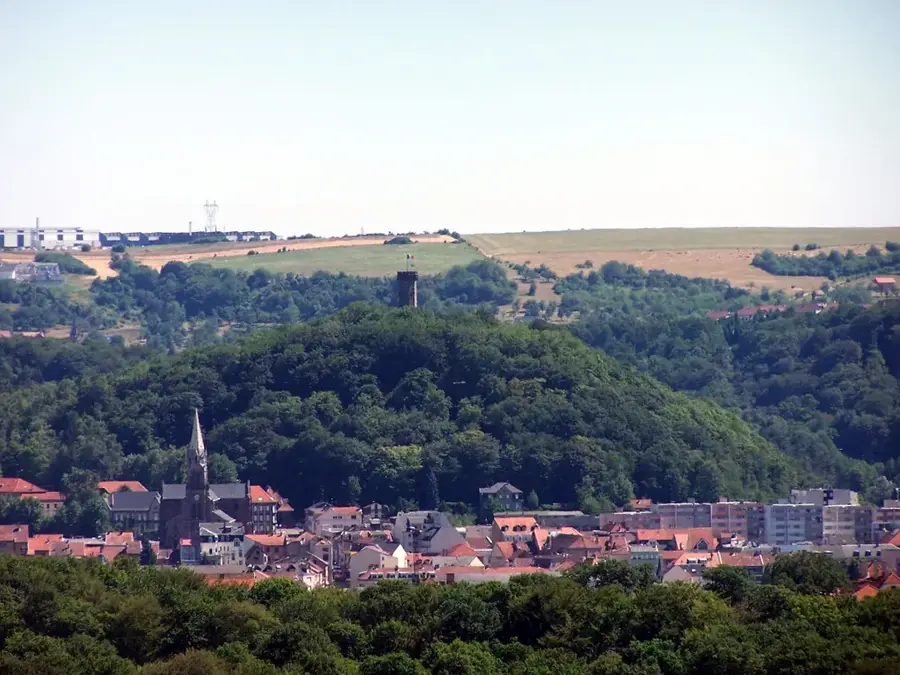
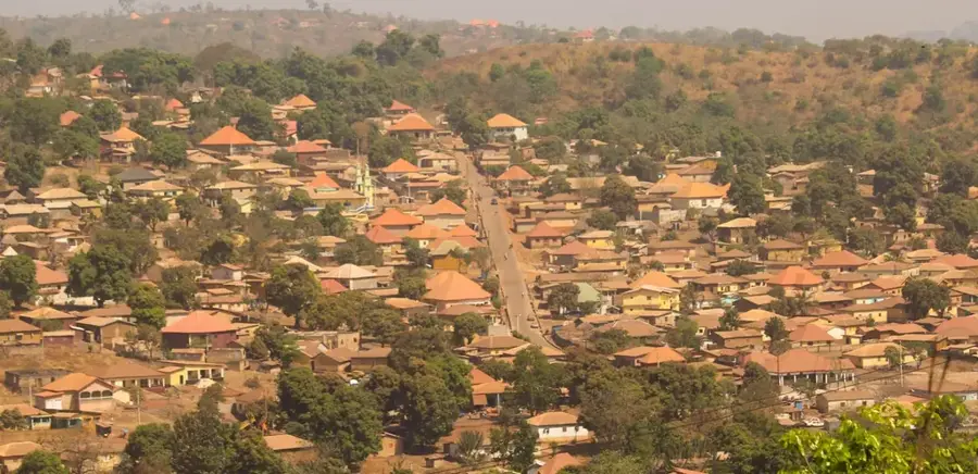
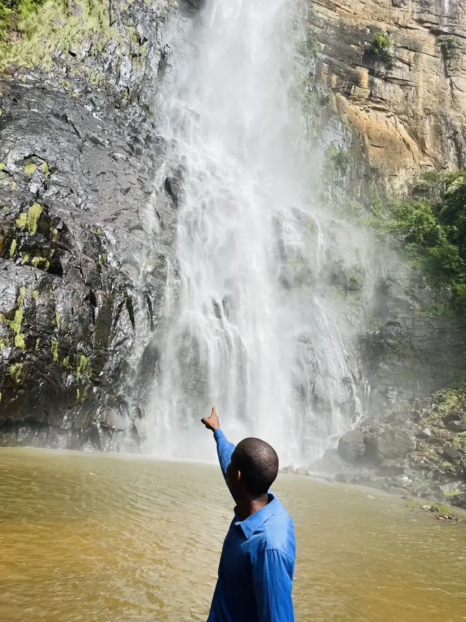
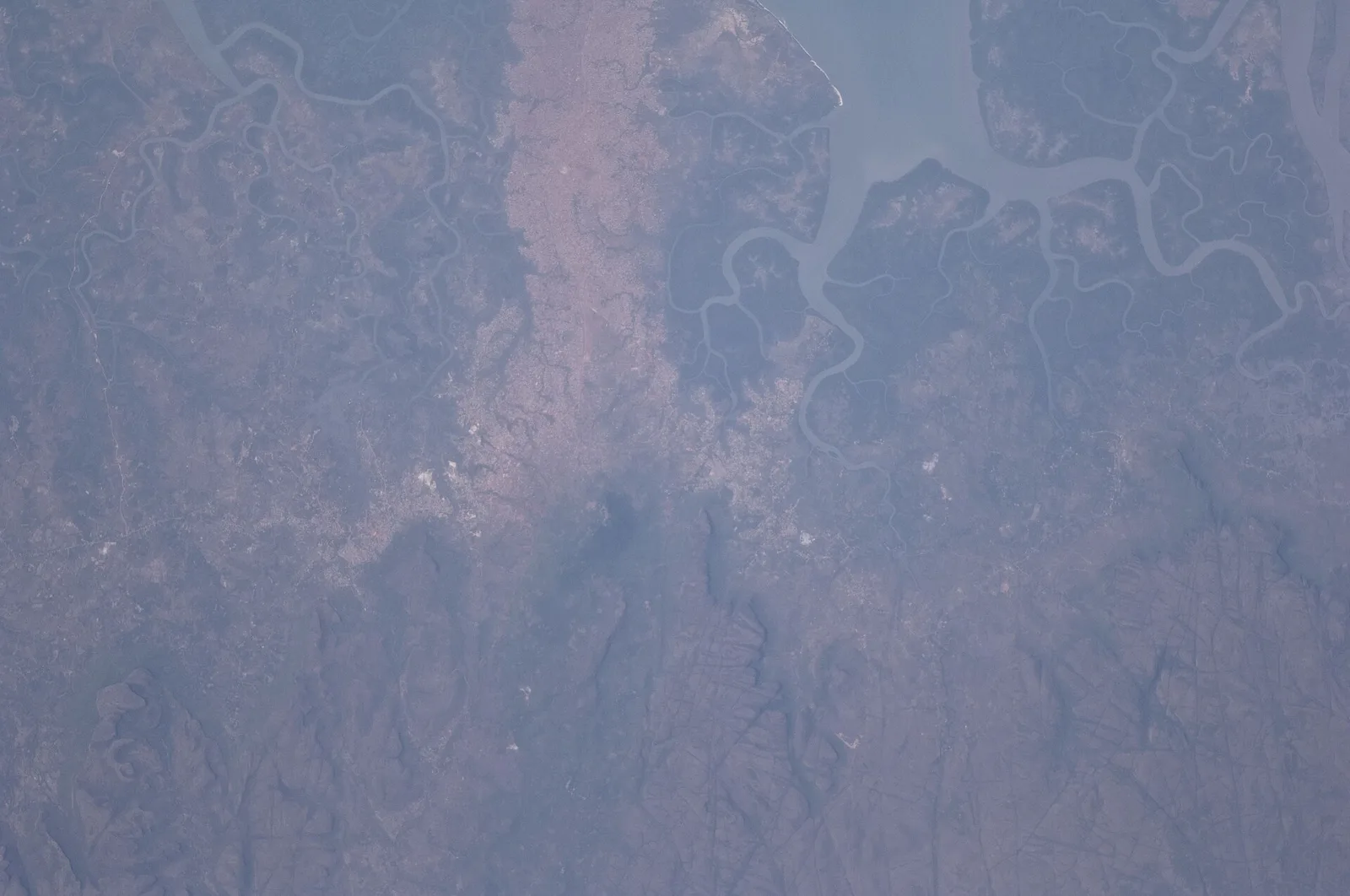
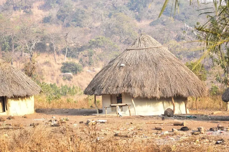
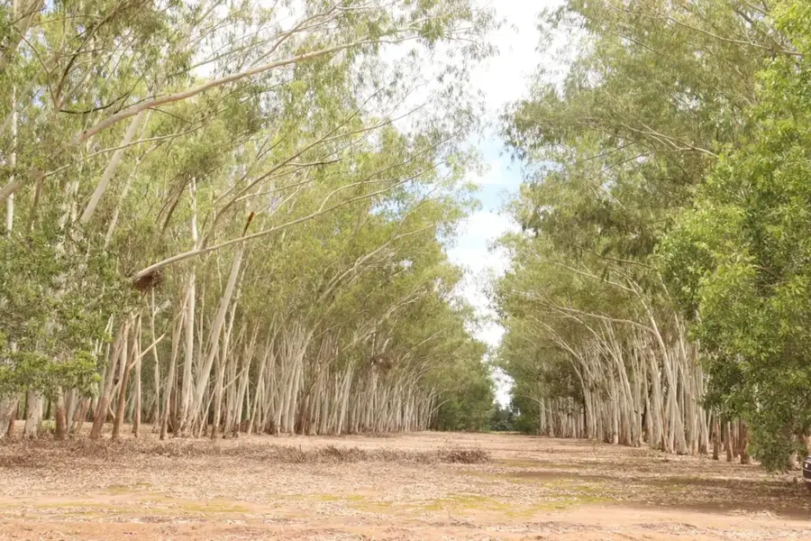
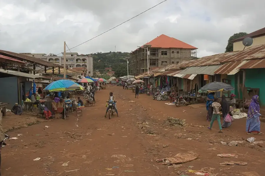
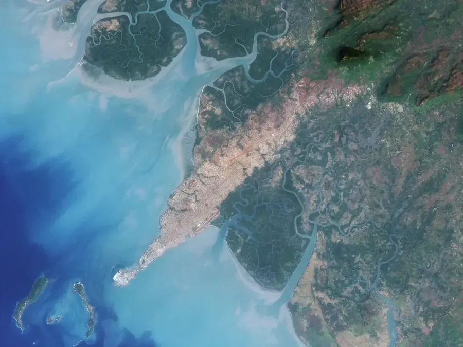
The Dalaba Plateau is one of Guinea's most distinctive and climatically pleasant highland regions, located in the central Fouta Djallon massif. Geographically, this sandstone plateau sits at an average elevation of 1,000 to 1,200 meters above sea level. It is characterized by a rolling topography, broken by deep canyons, sheer cliffs, and gentle valleys. The climate on the plateau is exceptionally mild by West African standards and frequently misty, earning it the nickname 'Switzerland of Africa.' Historically, the plateau was used by the French colonial administration as a retreat and sanatorium, which significantly influenced the architecture of the town of Dalaba. Economically, the region is a hub for market gardening, specifically the cultivation of strawberries, apples, and vegetables, as well as livestock rearing by Peul pastoralists. Ecologically, the Dalaba Plateau serves as a vital water catchment area feeding numerous rivers and hosts specialized flora, including introduced pine forests and indigenous montane grasses. For visitors, the plateau's relief features spectacular viewpoints such as 'Pont de Dieu' and numerous waterfalls that showcase the region's geological dynamism. It is a place of great natural harmony and strategic importance for highland biodiversity.
- Location: Guinea
- Top sights: Terrasse de l'hôtel du Fouta · Musée Africain American · Case des palabres
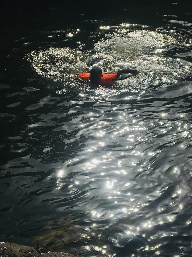
- Nearby: Ditinn Falls (19 km)
Best time to visit & climate
The most pleasant time to visit is Jan, Nov, Dec.
| Jan | Feb | Mar | Apr | May | Jun | Jul | Aug | Sep | Oct | Nov | Dec | |
|---|---|---|---|---|---|---|---|---|---|---|---|---|
| Avg °C | 24 | 27 | 29 | 29 | 27 | 25 | 23 | 22 | 23 | 23 | 23 | 23 |
| Rain mm | 3 | 4 | 4 | 34 | 149 | 289 | 490 | 586 | 371 | 133 | 26 | 1 |
📋 Practical info
Geography
Facts
- The plateau stands at an average elevation of 1,200 meters, unique in West Africa.
- It features the 'Pont de Dieu', a massive natural arch carved in sandstone.
- Dalaba records the lowest average annual temperatures in the Republic of Guinea.
- The terrain is composed of ancient Paleozoic sedimentary rock layers.
- The plateau is a leading regional producer of high-altitude specialized crops.
- It acts as a strategic moisture trap, receiving high levels of orographic rainfall.
Explore nearby
Notable places around
Route planner — Car & Motorhome
Where do you start? We build the route here, with stops and country notes along the way.
© OpenStreetMap contributors · OpenRouteService
Sights in the town Dalaba Plateau (4)
Sights nearby
Frequently asked questions
What makes Dalaba Plateau special?
Are there hiking trails there?
Can one stay overnight there?
What is the best season?
Is it suitable for families?
Dalaba Plateau: where is it located?
Dalaba Plateau: what is there to see?
Dalaba Plateau: when is the best time to visit?
Dalaba Plateau: why is it worth visiting?

Nearby cities
Nature
More places