Plizio Visual Lab
Konkouré
Weather…
Water temperature…
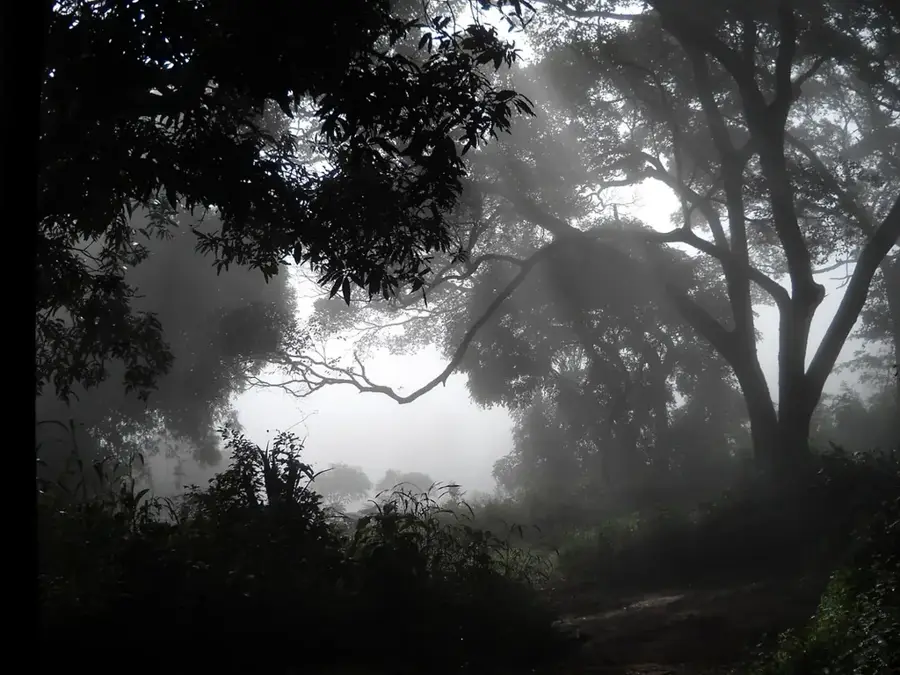
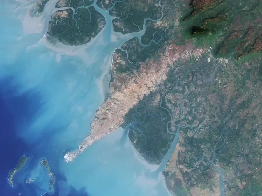
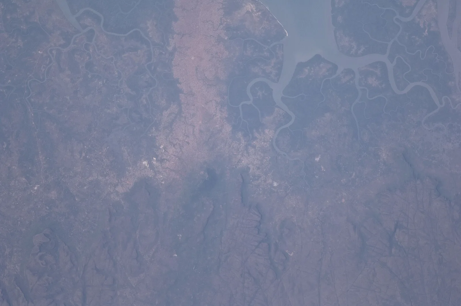
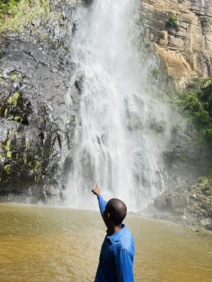
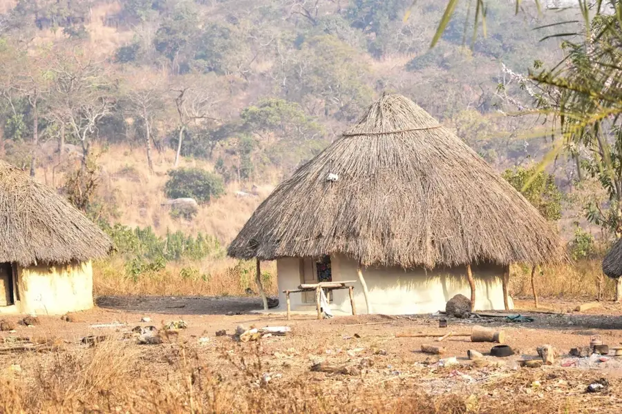
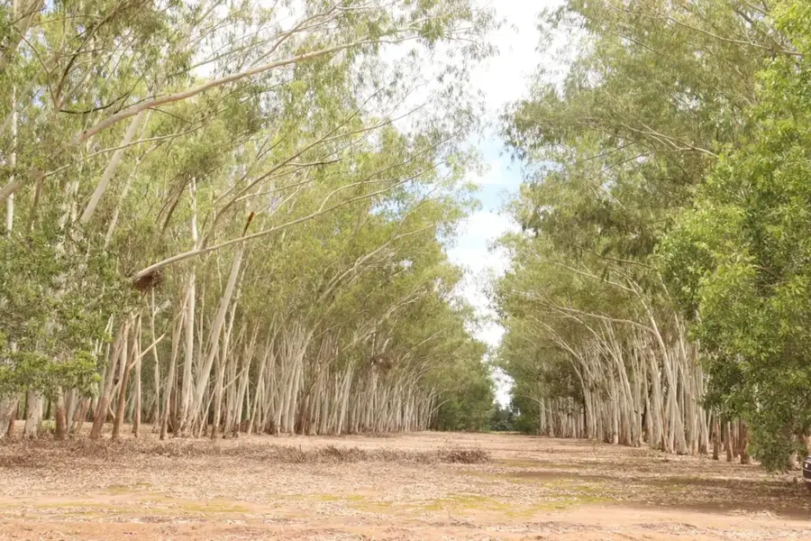
The Konkouré is the most water-rich and economically significant river in Maritime Guinea. Geographically, it originates in the heart of the Fouta Djallon massif and flows southwestward into the Atlantic Ocean, creating a massive estuary system. The river is defined by its steep gradients and numerous spectacular waterfalls, making it Guinea's primary source for hydroelectric power. Historically, the Konkouré remained largely untamed until the late 20th and early 21st centuries, when massive dam projects such as Garafiri, Kaléta, and Souapiti were commissioned. These structures have elevated the river to the nation's energetic backbone. Economically, the Konkouré is indispensable for industrial growth, particularly for the mining sector and powering the capital, Conakry. Life along the river transitions from rugged mountain landscapes in its upper reaches to dense mangrove forests near the coast. Ecologically, the Konkouré estuary provides vital habitats for numerous fish species and endangered wildlife like the West African manatee. Despite heavy industrial use, the river remains a supreme symbol of Guinea's raw natural power and its capacity to harness resources for national progress.
- Location: Guinea
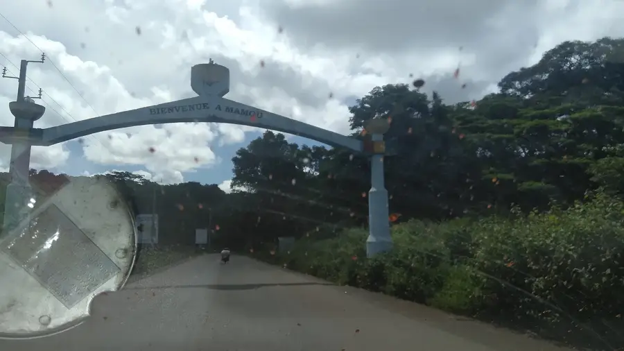
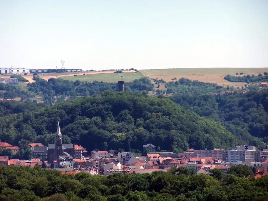
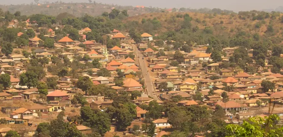
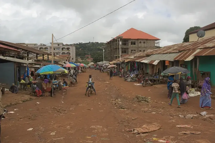
- Nearby: Kindia (16 km)
Best time to visit & climate
The most pleasant time to visit is Jan, Nov, Dec.
| Jan | Feb | Mar | Apr | May | Jun | Jul | Aug | Sep | Oct | Nov | Dec | |
|---|---|---|---|---|---|---|---|---|---|---|---|---|
| Avg °C | 26 | 28 | 29 | 29 | 28 | 26 | 24 | 24 | 24 | 25 | 25 | 25 |
| Rain mm | 1 | 4 | 3 | 23 | 119 | 348 | 786 | 874 | 462 | 182 | 44 | 2 |
📋 Practical info
Geography
Facts
- The Konkouré hosts the Souapiti dam, Guinea's largest hydroelectric facility.
- It empties into the Atlantic Ocean through a wide, ecologically rich delta.
- The river has the highest hydropower potential of any waterway in the country.
- Its estuary is a designated RAMSAR site of international importance.
- The Konkouré is the main power source for the mining towns of Kindia and Fria.
- Its seasonal flow regulates the salinity levels of the coastal mangrove belts.
Explore nearby
Notable places around
Route planner — Car & Motorhome
Where do you start? We build the route here, with stops and country notes along the way.
© OpenStreetMap contributors · OpenRouteService
Sights in the town Konkouré (1)
Sights nearby
Frequently asked questions
Are there waterfalls on the Konkouré River?
What is the river mainly used for?
Can you travel by boat on the river?
What landscape surrounds the Konkouré River?
Where does the Konkouré River end?
Konkouré: where is it located?
Konkouré: when is the best time to visit?
Konkouré: why is it worth visiting?

Nearby cities
More places