Plizio Visual Lab
Mamou Basin
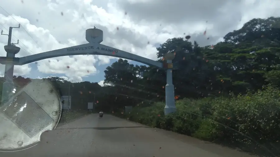
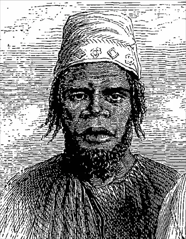
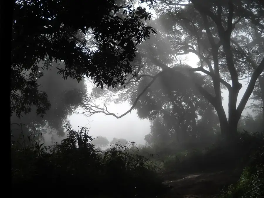
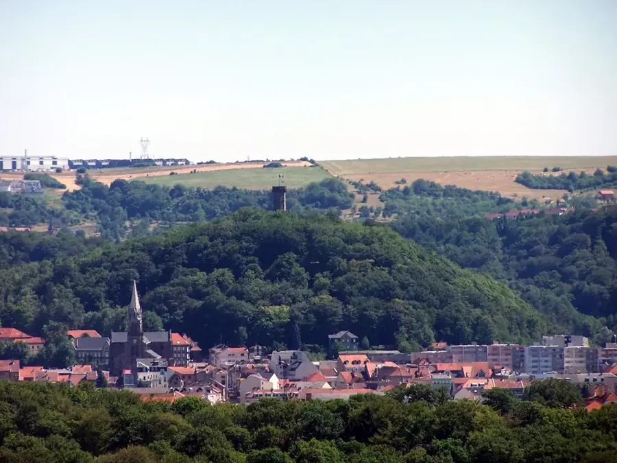
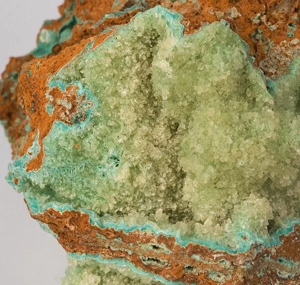
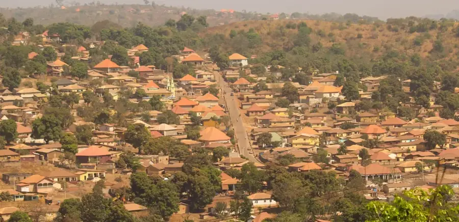
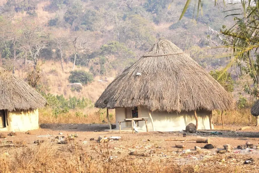
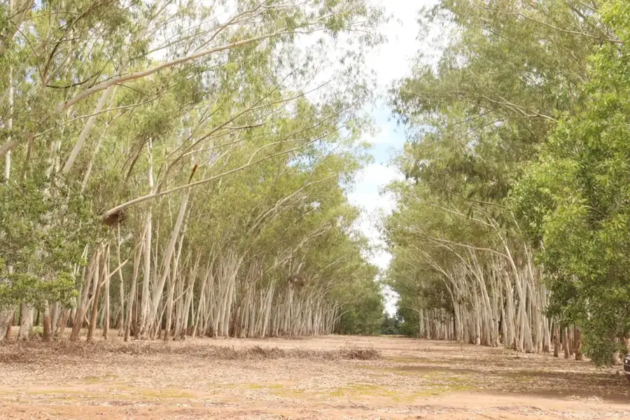
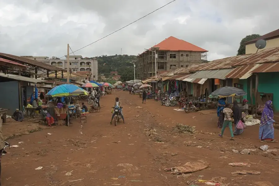
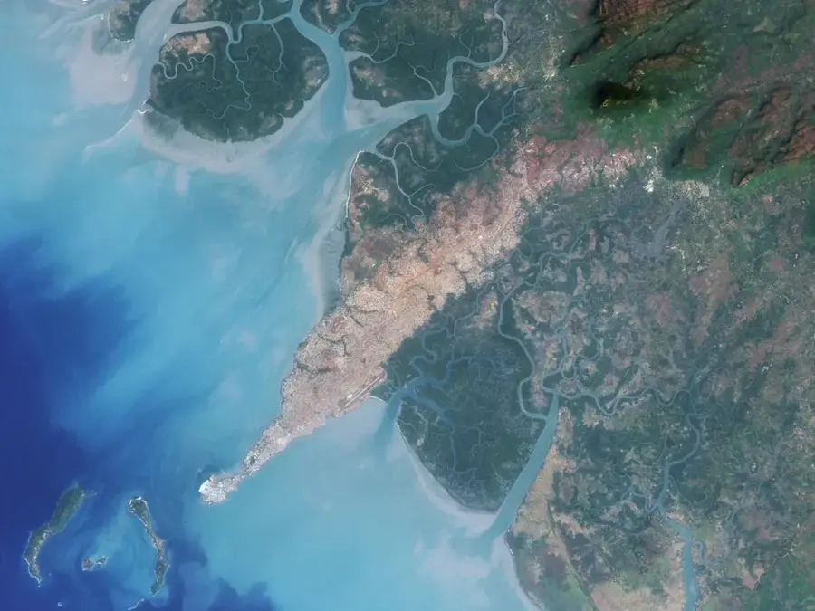
The Mamou Basin is a tectonic depression in Central Guinea that forms a strategic interface between the coastal region and the Fouta Djallon highlands. The region is geologically characterized by a subsidence of the crystalline basement, which was later filled with sediments and volcanic rocks such as dolerites. The basin is traversed by numerous watercourses that swell during the rainy season and irrigate the fertile alluvial soils. Mamou, often called the 'crossroads city,' is located in the heart of this basin and benefits from its moderate temperatures and good water supply. The surroundings are marked by a mix of forest savanna and fruit orchards, which form the region's economic base. As the country's most important transport hub, the Mamou Basin connects all four natural regions of Guinea.
- Location: Guinea
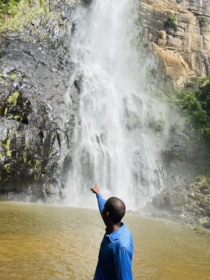
- Nearby: Ditinn Falls (48 km)
Best time to visit & climate
The most pleasant time to visit is Jan, Nov, Dec.
| Jan | Feb | Mar | Apr | May | Jun | Jul | Aug | Sep | Oct | Nov | Dec | |
|---|---|---|---|---|---|---|---|---|---|---|---|---|
| Avg °C | 24 | 27 | 29 | 29 | 27 | 25 | 23 | 22 | 23 | 23 | 23 | 23 |
| Rain mm | 3 | 4 | 4 | 34 | 149 | 289 | 490 | 586 | 371 | 133 | 26 | 1 |
📋 Practical info
Geography
Facts
- The city of Mamou is located at an altitude of about 800m.
- The basin is famous for its citrus fruit production.
- Junction of the national roads N1 and N2.
- The climate is milder than in the coastal lowlands.
- Important location for the Guinean livestock industry.
- Geologically delimited by doleritic sills.
Explore nearby
Notable places around
Route planner — Car & Motorhome
Where do you start? We build the route here, with stops and country notes along the way.
© OpenStreetMap contributors · OpenRouteService
Sights nearby
Frequently asked questions
Is the Mamou basin a tourist destination?
How to get to Mamou?
What is there to see nearby?
Are there dining options?
How is the local infrastructure?
Mamou Basin: where is it located?
Mamou Basin: when is the best time to visit?
Mamou Basin: why is it worth visiting?

Nearby cities
Nature
More places