Plizio Visual Lab
Ditinn Falls
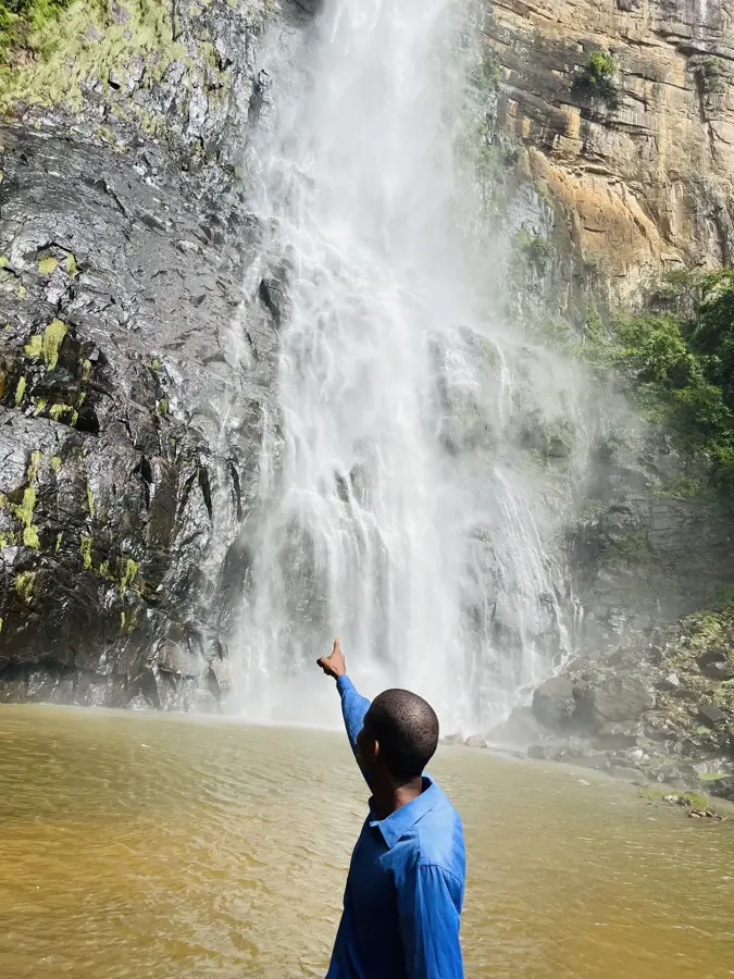
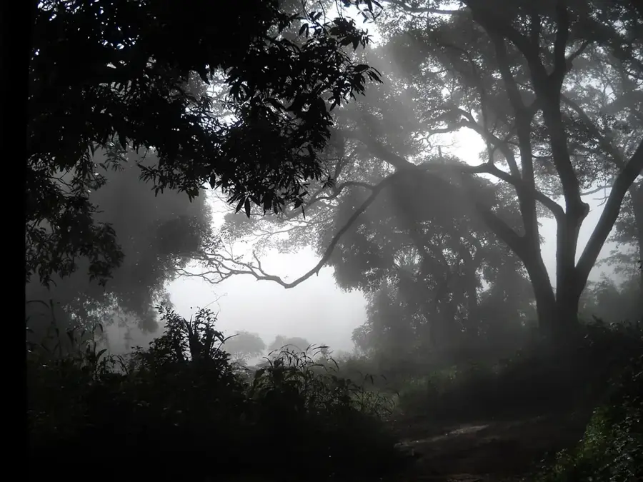
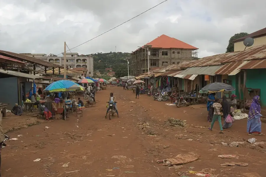
Ditinn Falls is an impressive example of the raw beauty of the Guinean highlands. It plunges in a single, narrow ribbon over a vertical cliff face more than 80 meters deep into a forested pool. The mist from the falling water creates a microclimate that keeps the surrounding vegetation lush and green year-round, providing a stark contrast to the drier plateaus. The hike to the waterfall begins in the village of Ditinn and leads through photogenic landscapes, past granite rocks and small shepherd paths. It is a place of silence and grandeur, far from any tourist infrastructure. Adventurous visitors can descend to the base of the falls to feel the sheer power of the water up close. The local population often considers the site to be spiritually significant. Culinary offerings in the region include simple but nutritious dishes like fonio or cassava, which can be sampled in the surrounding villages. The best time to visit is between September and December when the falls are at their most magnificent. As the journey is arduous, it is recommended to hire a local guide who can navigate the path and share insights about the region's flora and fauna.
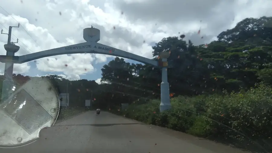
- Location: Guinea
- Nearby: Pita (35 km)
Geography
Facts
- Height of approx. 80-100 meters
- Single-stage free fall
- Located in the Dalaba region
- Named after Ditinn village
- Highest fall in Fouta Djallon
- Surrounded by steep cliffs
- Best time is after the rains
- Hike takes about 1-2 hours
Explore nearby
Notable places around
Route planner — Car & Motorhome
Where do you start? We build the route here, with stops and country notes along the way.
© OpenStreetMap contributors · OpenRouteService
Sights in the town Ditinn Falls (1)
Frequently asked questions
Ditinn Falls: where is it located?
Ditinn Falls: why is it worth visiting?

Nearby cities
Nature
More places