Plizio Visual Lab
Falaba Ruins

Weather…
Water temperature…
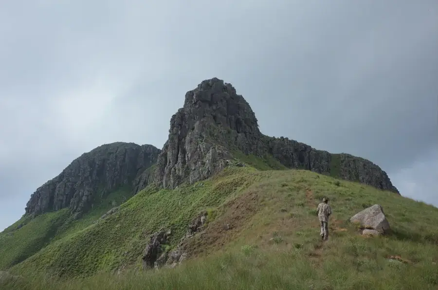
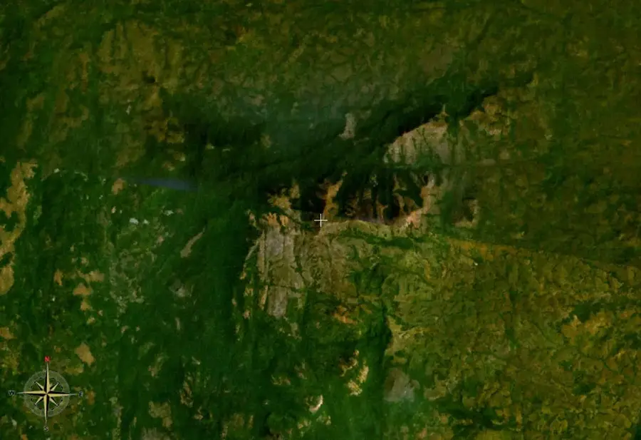
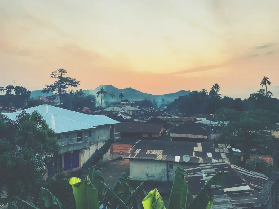
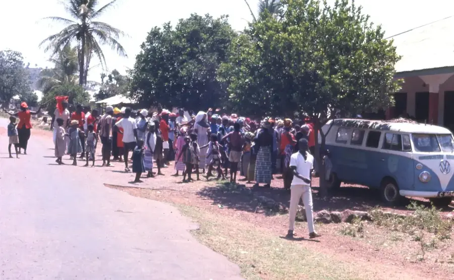
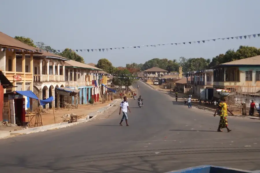
The Falaba Ruins, located in the Northern Province of Sierra Leone, are the remains of an ancient trading town of the Limba people. Falaba was a major center for trans-Saharan and regional trade in the 19th century, particularly in slaves, gold, and ivory. The town was surrounded by a massive stone wall that provided defense against attacks. The ruins include parts of this wall, gates, and building foundations. Falaba played a role in conflicts between local kingdoms and European colonial powers. The town was destroyed in 1890 by British troops acting against local resistance. Today, the ruins are an archaeological site and a symbol of Sierra Leone's pre-colonial history. They offer insights into urban planning and defensive architecture of the time. The site is difficult to access but is of historical interest for researchers and adventurers.
- Location: Sierra Leone
- Nearby: Kabala (46 km)
Best time to visit & climate
The most pleasant time to visit is Jan, Nov, Dec.
| Jan | Feb | Mar | Apr | May | Jun | Jul | Aug | Sep | Oct | Nov | Dec | |
|---|---|---|---|---|---|---|---|---|---|---|---|---|
| Avg °C | 24 | 26 | 29 | 29 | 28 | 25 | 24 | 23 | 24 | 25 | 24 | 23 |
| Rain mm | 3 | 5 | 6 | 35 | 123 | 258 | 406 | 517 | 345 | 127 | 27 | 2 |
📋 Practical info
Geography
Facts
- Falaba was founded in the 18th century.
- The stone wall was about 5 meters high.
- The town covered an area of about 10 hectares.
- Destruction occurred in 1890 by British troops.
- The ruins are located about 50 km northeast of Kabala.
- The site was declared a national monument in 1985.
Explore nearby
Notable places around
Route planner — Car & Motorhome
Where do you start? We build the route here, with stops and country notes along the way.
© OpenStreetMap contributors · OpenRouteService
Sights nearby
Frequently asked questions
What is there to see in Falaba?
Is a guide necessary?
How is the infrastructure?
Is there accommodation nearby?
Should one bring water?
Falaba Ruins: where is it located?
Falaba Ruins: when is the best time to visit?
Falaba Ruins: why is it worth visiting?

Nearby cities


History & landmarks
Nature
More places