Plizio Visual Lab
Mount Gangan

Weather…
Water temperature…
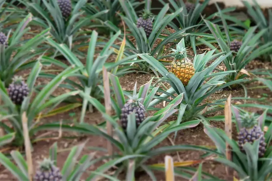
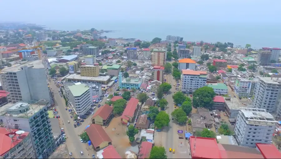
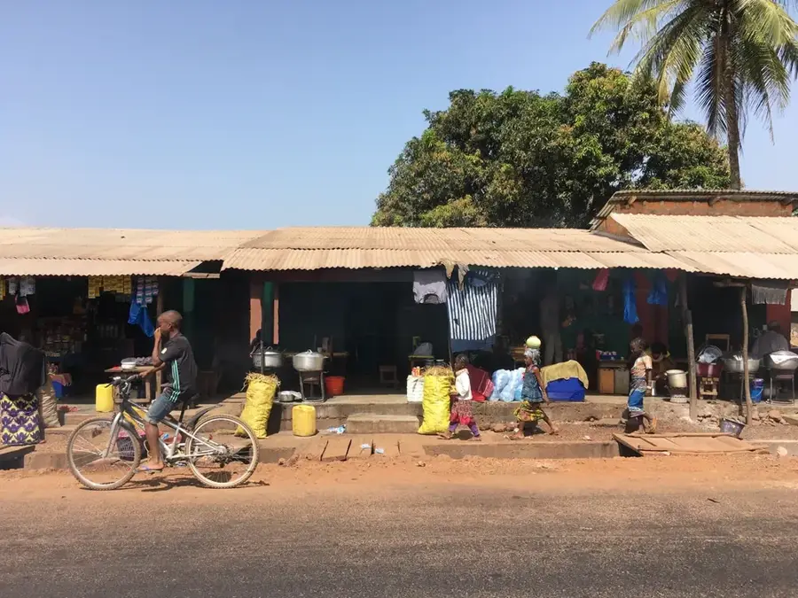
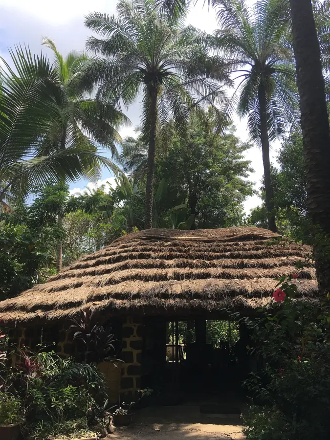
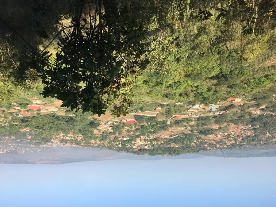
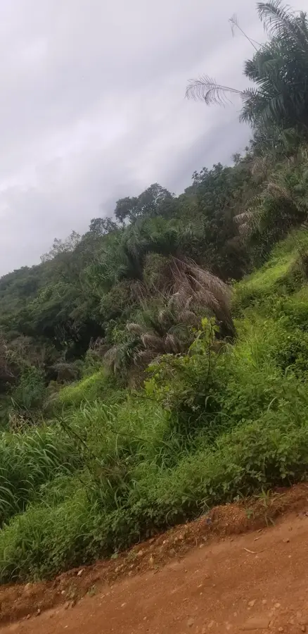
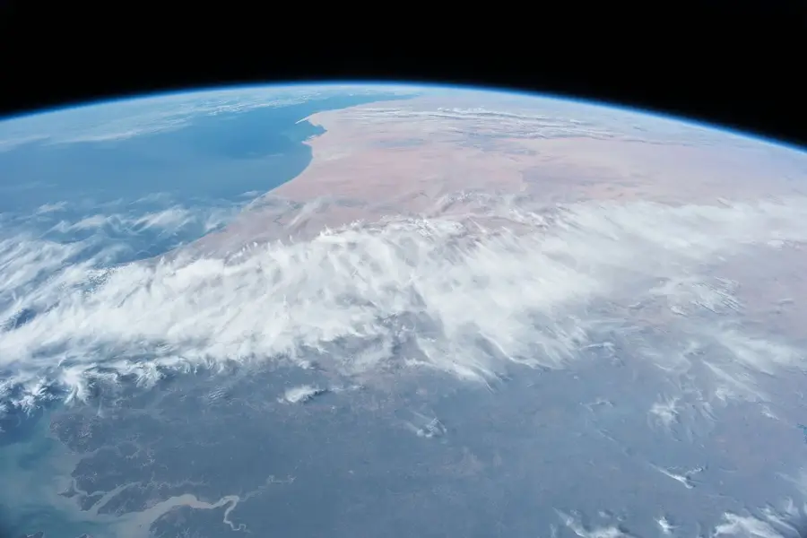
Mount Gangan (Mont Gangan) is the most iconic geographic landmark of the Kindia region and one of the most celebrated peaks in western Guinea. Standing at approximately 1,117 meters, it towers over the city of Kindia, creating a dramatic backdrop of massive granite rock. Geographically, Gangan belongs to the southern foothills of the Fouta Djallon massif, marking the transition from the coastal plains to the interior highlands. The mountain is characterized by sheer rock faces, deep crevices, and vegetation ranging from dense montane forests on the lower slopes to sparse grasslands at the summit. Historically and culturally, Mount Gangan holds great significance for the local Susu people; it is revered as a place of strength and is the subject of numerous local legends. Economically, the mountain drives regional tourism, being a premier destination for hikers and climbers seeking spectacular views over 'the city of citrus' (Kindia). Additionally, the massif regulates the local microclimate and serves as the source for many small streams that irrigate the fertile fruit orchards in the valley below. Botanically, Gangan is home to rare succulents and orchid species that thrive in its rocky alcoves. Climbing to the summit provides both a physical challenge and a profound appreciation for the geological power that shaped the landscape of Maritime Guinea.
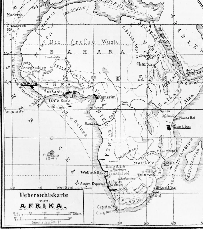
- Location: Guinea
- Nearby: Friguiagbé (5 km)
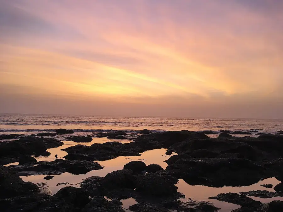
Best time to visit & climate
The most pleasant time to visit is Jan, Nov, Dec.
| Jan | Feb | Mar | Apr | May | Jun | Jul | Aug | Sep | Oct | Nov | Dec | |
|---|---|---|---|---|---|---|---|---|---|---|---|---|
| Avg °C | 26 | 28 | 29 | 29 | 28 | 26 | 24 | 24 | 24 | 25 | 25 | 25 |
| Rain mm | 1 | 4 | 3 | 23 | 119 | 348 | 786 | 874 | 462 | 182 | 44 | 2 |
📋 Practical info
Geography
Facts
- Mount Gangan is the highest peak in the Kindia area, reaching 1,117 meters.
- The mountain is a massive granitic batholith dating back to the Precambrian era.
- It is recognized as Guinea's top spot for technical rock climbing and bouldering.
- The peak acts as a natural water tower for the surrounding fruit-growing valleys.
- The mountain features the 'Lady of Gangan,' a natural rock profile visible from Kindia.
- It supports a unique ecosystem of lithophytic plants that grow directly on rock faces.
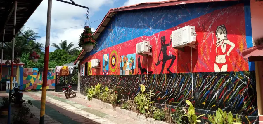
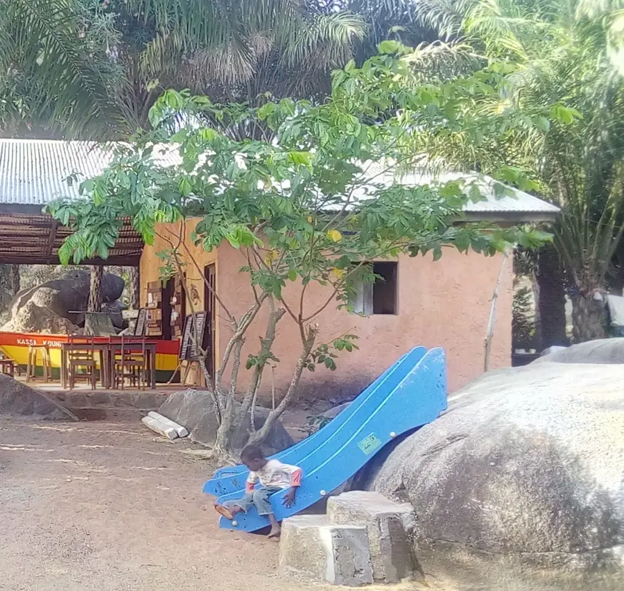
Explore nearby
Notable places around
Route planner — Car & Motorhome
Where do you start? We build the route here, with stops and country notes along the way.
© OpenStreetMap contributors · OpenRouteService
Sights in the town Mount Gangan (1)
Sights nearby
Frequently asked questions
How high is Mount Gangan?
Is the climb difficult?
Do I need a permit?
Is there drinking water on the mountain?
When should you start the hike?
Mount Gangan: where is it located?
Mount Gangan: when is the best time to visit?
Mount Gangan: why is it worth visiting?

Nearby cities

History & landmarks
Nature
More places