Plizio Visual Lab
Mount Gbahari

Weather…
Water temperature…
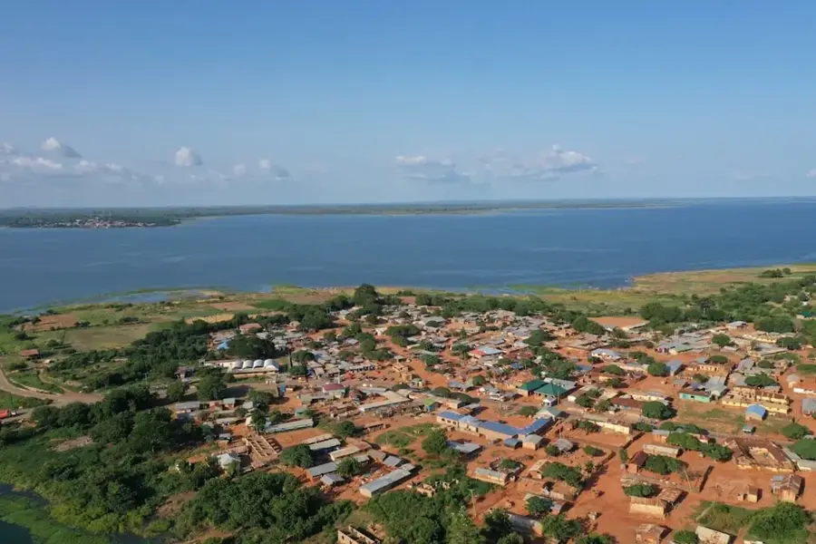
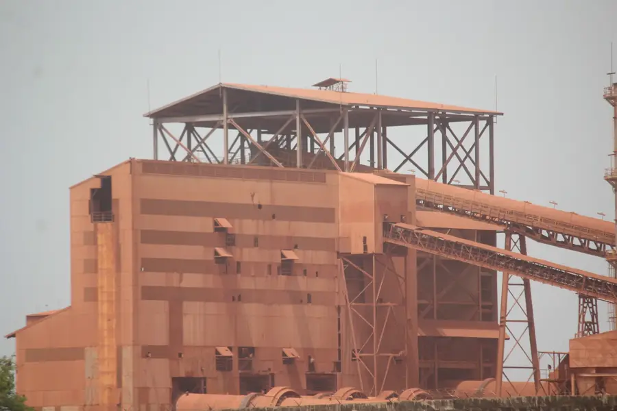
Mount Gbahari is an isolated peak in the Boké District, rising prominently over the northwestern coastal plain of Guinea. With its location near the Atlantic, it has a strategic view over the estuaries of the Rio Nuñez and the surrounding mangrove areas. Geologically, the mountain consists of resistant iron-rich rocks that have withstood erosion better than the surrounding flatland. Mount Gbahari is of great spiritual significance to the local Landuma and Nalu people and is considered a sacred site. Despite its moderate height, it is an important ecological stepping stone for local fauna in a region heavily shaped by bauxite mining. The slopes are covered with a mix of dry forest and savanna adapted to the seasonally humid climate of the coast. The mountain is a symbol of permanence amidst a rapidly changing industrial landscape.
- Location: Guinea
- Nearby: Kolaboui (38 km)
Best time to visit & climate
The most pleasant time to visit is Jan, Nov, Dec.
| Jan | Feb | Mar | Apr | May | Jun | Jul | Aug | Sep | Oct | Nov | Dec | |
|---|---|---|---|---|---|---|---|---|---|---|---|---|
| Avg °C | 27 | 29 | 30 | 30 | 30 | 27 | 26 | 25 | 26 | 26 | 26 | 25 |
| Rain mm | 0 | 0 | 1 | 3 | 46 | 220 | 477 | 587 | 377 | 178 | 28 | 0 |
📋 Practical info
Geography
Facts
- The mountain is located only a few kilometers from the city of Boké.
- Its formation is closely linked to the creation of lateritic crusts.
- Serves as a landmark for navigation on the Rio Nuñez.
- Hosts rare succulent species on its rocky summits.
- Culturally linked with the initiation rites of the Nalu people.
- The elevation is less than 500m but appears imposing in the flatland.
Explore nearby
Notable places around
Route planner — Car & Motorhome
Where do you start? We build the route here, with stops and country notes along the way.
© OpenStreetMap contributors · OpenRouteService
Sights nearby
Frequently asked questions
Is a permit required for Mount Gbahari?
Is the peak accessible year-round?
How long does the ascent take?
Can you camp there?
Is the mountain accessible?
Mount Gbahari: where is it located?
Mount Gbahari: when is the best time to visit?
Mount Gbahari: why is it worth visiting?

Nearby cities

Nature
More places