Plizio Visual Lab
Boké Lowlands
Weather…
Water temperature…
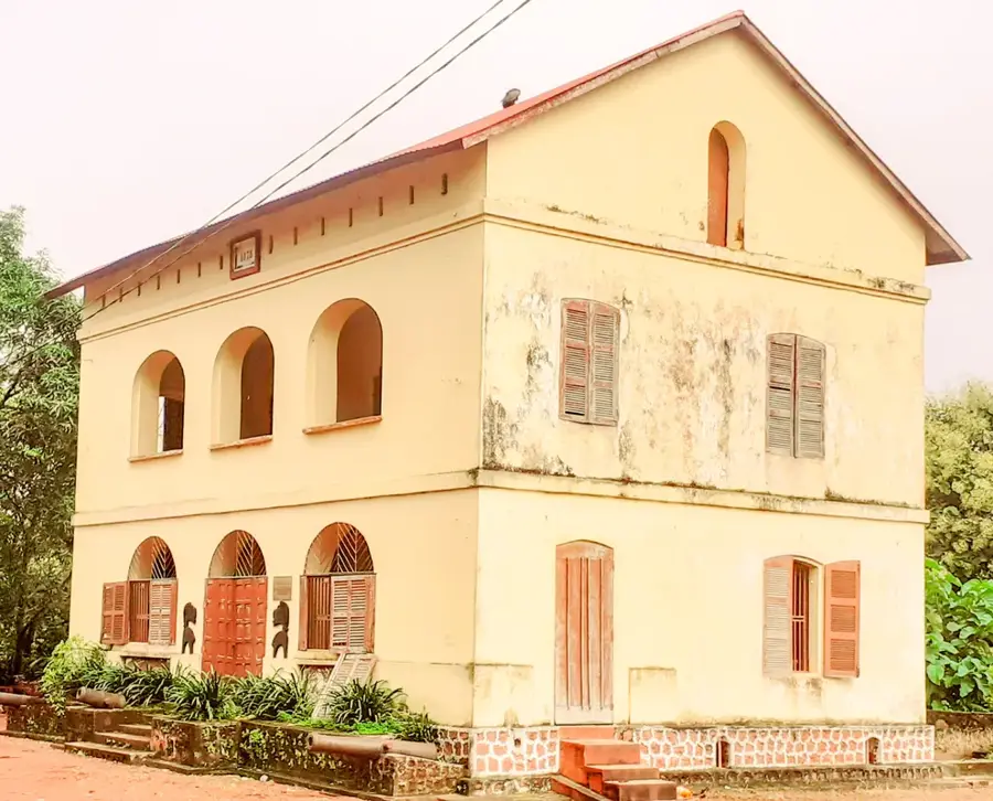
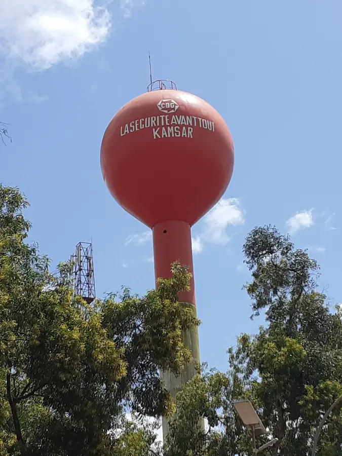
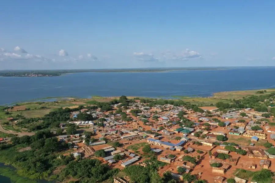
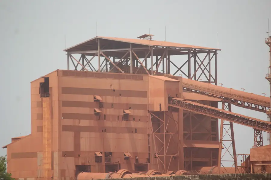
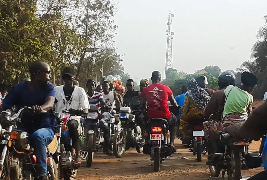
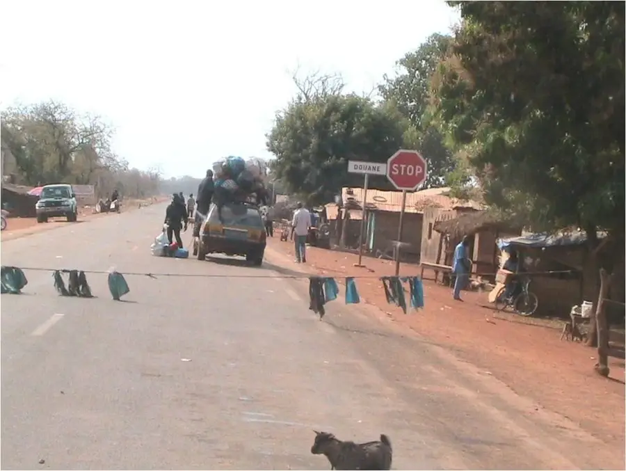
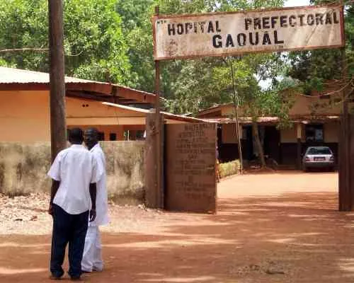
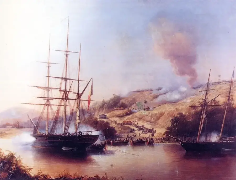
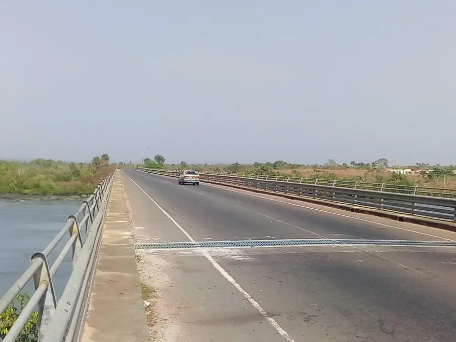
The Boké Lowlands (Basses terres de Boké) comprise one of Guinea's most economically vital and geologically distinct relief regions, located in the northwestern part of the country. Geographically, these plains extend from the Atlantic coast to the first foothills of the Fouta Djallon highlands. The relief is characterized by flat to gently undulating terrain, punctuated by massive laterite plateaus. These plateaus house the world's largest and highest-grade bauxite deposits, making the region the epicenter of Guinea's mining industry. Historically, the Boké Lowlands were a significant contact point for transatlantic trade and are home to the historic town of Boké on the Rio Nuñez. The regional economy is almost entirely centered on the extraction and export of aluminum ore, supplemented by fishing and agriculture in the fertile coastal zones. Ecologically, the lowlands form a transition zone between coastal mangrove swamps and inland wooded savannas. Life in the Boké Lowlands today is defined by the contrast between traditional villages and massive industrial infrastructures, such as heavy-haul railways and export ports. For visitors, the relief showcases a landscape in transformation, where Guinea's signature red soil and industrial dynamism exist in a unique symbiosis.
- Location: Guinea
- Nearby: Boké (11 km)
Best time to visit & climate
The most pleasant time to visit is Jan, Nov, Dec.
| Jan | Feb | Mar | Apr | May | Jun | Jul | Aug | Sep | Oct | Nov | Dec | |
|---|---|---|---|---|---|---|---|---|---|---|---|---|
| Avg °C | 27 | 29 | 30 | 30 | 30 | 27 | 26 | 25 | 26 | 26 | 26 | 25 |
| Rain mm | 0 | 0 | 1 | 3 | 46 | 220 | 477 | 587 | 377 | 178 | 28 | 0 |
📋 Practical info
Geography
Facts
- The Boké Lowlands contain more than 25% of the planet's proven bauxite reserves.
- The relief is dissected by major tidal rivers, including the Rio Nuñez and Rio Cogon.
- The flat plateau surfaces (bowé) are ideal for large-scale mechanical mining.
- Altitudes in this region typically range from sea level to about 200 meters.
- The lowlands feature the highest density of heavy-duty industrial rail in West Africa.
- Agricultural activities in the plains focus on rice and oil palm cultivation.
Explore nearby
Notable places around
Route planner — Car & Motorhome
Where do you start? We build the route here, with stops and country notes along the way.
© OpenStreetMap contributors · OpenRouteService
Sights nearby
Frequently asked questions
What are the Boké Lowlands?
Are there hiking trails there?
Is the area touristy?
How is the climate?
Do I need accommodation?
Boké Lowlands: where is it located?
Boké Lowlands: when is the best time to visit?
Boké Lowlands: why is it worth visiting?

Nearby cities

Nature
More places