Plizio Visual Lab
Sangarédi

ℹ️Practical info — Sangarédi
▾
🌤 Weather — 5 days
📍 Nearby
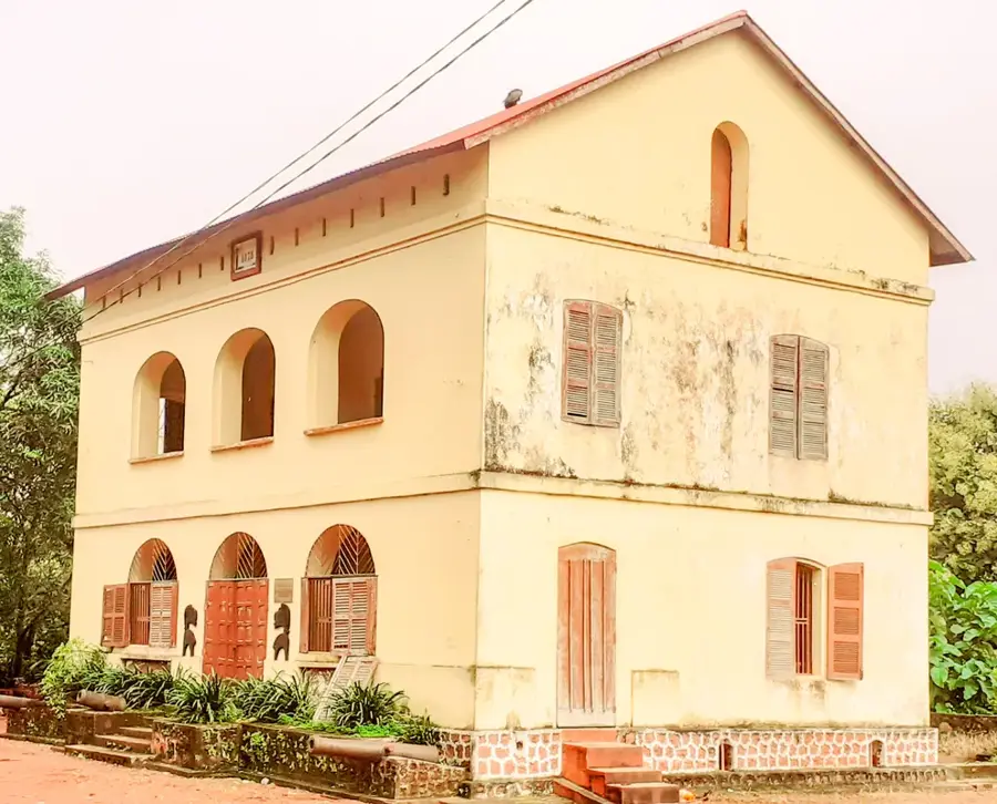
Sights nearby
💡 Tips
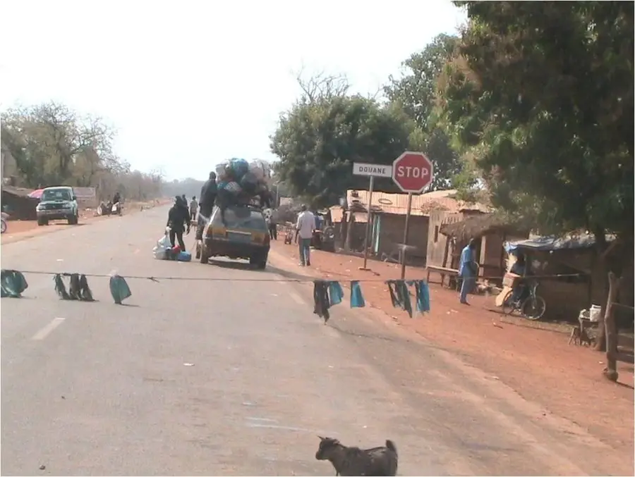
- As a major mining town, the roads can be dusty; packing a scarf or mask for the dry season is a good idea.
- Power cuts still happen, so bringing a power bank is useful.
- Ask locals before taking photos near mining facilities, as it might be restricted.
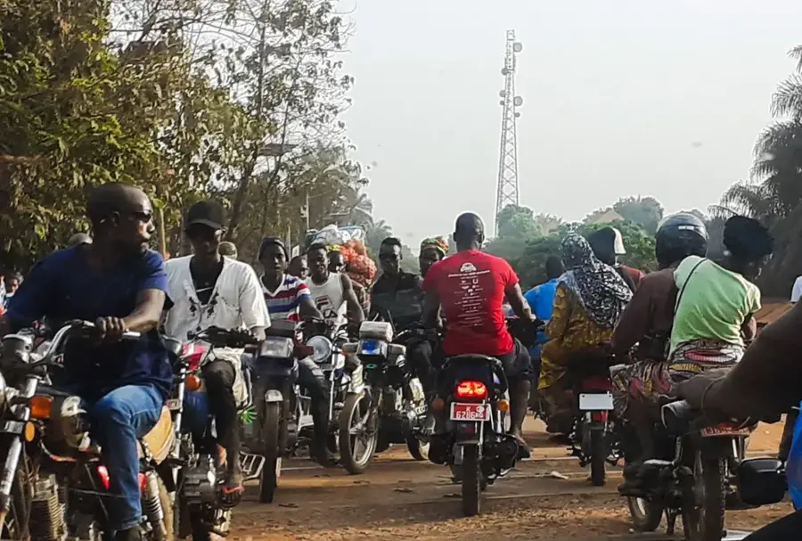
- Taxis and moto-taxis are the best way to get around the sprawling town.
🍽 Food
The town has plenty of small eateries serving grilled chicken and plantains for the workers.
A popular, filling dish widely available at lunch spots near the commercial center.
Try the fried dough snacks (beignets) sold at morning street stalls.
🛍 Shopping · 🧘 Quiet spots
A busy market offering everything from everyday goods to regional fruits.
Find spirited West African wax prints in the commercial district.
Head away from the main mining roads for a quieter walk and views of the surrounding hills.
Smaller neighborhood squares offer a break from the busy industrial traffic.
Water temperature…
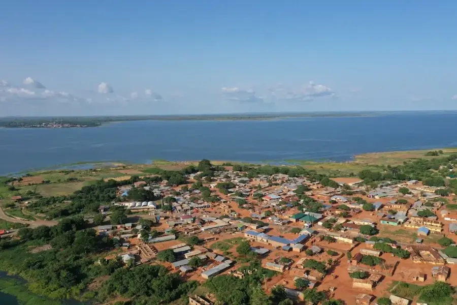
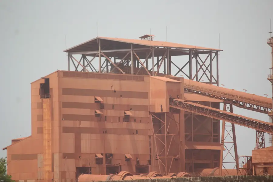
Sangarédi is one of Guinea's most vital industrial towns, located in the Boké Prefecture in the western part of the country. The town is globally renowned for its massive bauxite deposits, which are among the highest grade in the world. Since the 1970s, it has been the primary operations base for the Compagnie des Bauxites de Guinée (CBG), a cornerstone of the national economy. Geographically, Sangarédi sits on a high plateau characterized by the deep red color of laterite soil, which contains the bauxite ore. The town itself is a purpose-built mining community, with infrastructure, ranging from housing to healthcare, developed specifically to support the industry. Economically, Sangarédi is the heart of Guinea's mining sector; the ore extracted here is transported via a dedicated heavy-haul railway line to the Port of Kamsar for global export. The climate is tropical, with intense seasonal rains. While the industrial landscape of open-pit mines defines the area, it is surrounded by wooded savannas that face increasing environmental pressure. The population is diverse, consisting of workers and specialists drawn from across Guinea and abroad.
- Location: Guinea
- Nearby: Boké (41 km)
- Population: ~54.824 (2023)
Best time to visit & climate
The most pleasant time to visit is Jan, Nov, Dec.
| Jan | Feb | Mar | Apr | May | Jun | Jul | Aug | Sep | Oct | Nov | Dec | |
|---|---|---|---|---|---|---|---|---|---|---|---|---|
| Avg °C | 27 | 29 | 30 | 31 | 29 | 26 | 25 | 24 | 25 | 25 | 25 | 25 |
| Rain mm | 0 | 1 | 1 | 7 | 67 | 251 | 523 | 629 | 394 | 186 | 31 | 0 |
Geography
Facts
- Sangarédi is home to one of the largest bauxite mining operations on Earth.
- The town's infrastructure is largely managed by the mining consortium CBG.
- A 135-km dedicated railway connects the Sangarédi mines to the Port of Kamsar.
- The surrounding laterite plateaus give the landscape a distinctive deep red hue.
- Sangarédi features a private airfield used for industrial and logistics flights.
- The bauxite extracted here is a primary source for the global aluminum industry.
Explore nearby
Notable places around
Route planner — Car & Motorhome
Where do you start? We build the route here, with stops and country notes along the way.
© OpenStreetMap contributors · OpenRouteService
Frequently asked questions
Why is Sangarédi internationally known?
Can you visit the mines?
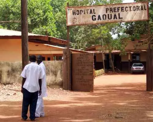
What is the infrastructure like in Sangarédi?
Is there an airport there?
How far is it to the coast?
Sangarédi: where is it located?
Sangarédi: when is the best time to visit?
Sangarédi: why is it worth visiting?

Nearby cities

Nature
More places