Plizio Visual Lab
Fatala
Weather…
Water temperature…
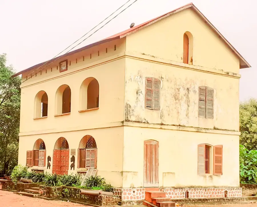
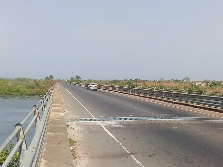
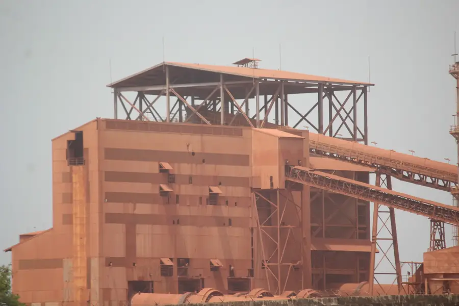
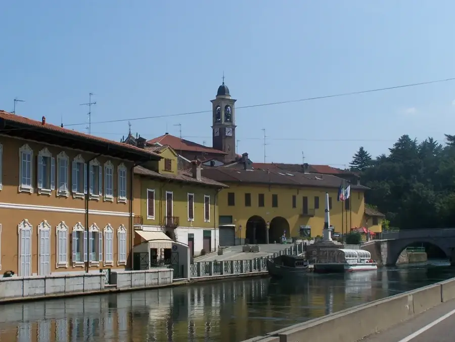
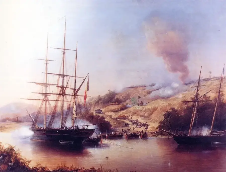
The Fatala River (Fleuve Fatala) is a significant waterway in the Maritime Guinea region, most notably associated with the town of Boffa. Geographically, the river originates in the foothills of the Fouta Djallon massif and flows southwestward until it opens into a broad estuary at Boffa, connecting with the Atlantic Ocean. The Fatala is defined by its deep tidal channels and the dense mangrove forests that line its banks. Historically, the river served as a major artery for commerce and, tragically, for the slave trade during the 18th and 19th centuries, as ships could navigate far inland. Today, the Fatala holds strategic economic importance for the mining sector, acting as a primary transport route for bauxite barges moving ore from inland mines to coastal loading facilities. The landmark bridge over the Fatala at Boffa, completed in 2004, significantly enhanced the river's logistical role and ended the historical isolation of northwestern coastal areas. Ecologically, the Fatala estuary is a highly productive zone, serving as a vital nursery for fish and shrimp that support numerous artisanal fishing communities. The landscape along the Fatala has a scenic scene where river, rainforest, and mangroves converge.
- Location: Guinea
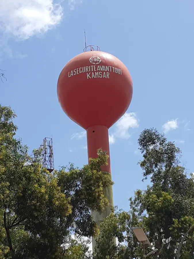
- Nearby: Boffa (8 km)
Best time to visit & climate
The most pleasant time to visit is Jan, Feb, Dec.
| Jan | Feb | Mar | Apr | May | Jun | Jul | Aug | Sep | Oct | Nov | Dec | |
|---|---|---|---|---|---|---|---|---|---|---|---|---|
| Avg °C | 27 | 29 | 29 | 29 | 28 | 27 | 26 | 25 | 26 | 26 | 27 | 26 |
| Rain mm | 0 | 2 | 1 | 13 | 87 | 322 | 749 | 865 | 438 | 178 | 45 | 2 |
📋 Practical info
Geography
Facts
- The Fatala River reaches a width of nearly one kilometer at its mouth near Boffa.
- It is a cornerstone of the logistics chain for Guinea's bauxite exports.
- The 400-meter-long Fatala Bridge is a vital landmark on the N3 national highway.
- The river's estuary is a designated area for mangrove biodiversity protection.
- Historically, the Fatala was used by diverse European powers for riverine trade.
- The river experiences strong tidal bores that affect artisanal navigation.
Explore nearby
Notable places around
Route planner — Car & Motorhome
Where do you start? We build the route here, with stops and country notes along the way.
© OpenStreetMap contributors · OpenRouteService
Sights nearby
Frequently asked questions
Where is the Fatala River located?
Are there ferries across the Fatala?
Can you see mangroves there?
Is there commercial fishing in the river?
Are there crocodiles in the Fatala River?
Fatala: where is it located?
Fatala: when is the best time to visit?
Fatala: why is it worth visiting?

Nearby cities


Nature
More places