Plizio Visual Lab
Atlantic Ocean

Weather…
Water temperature…
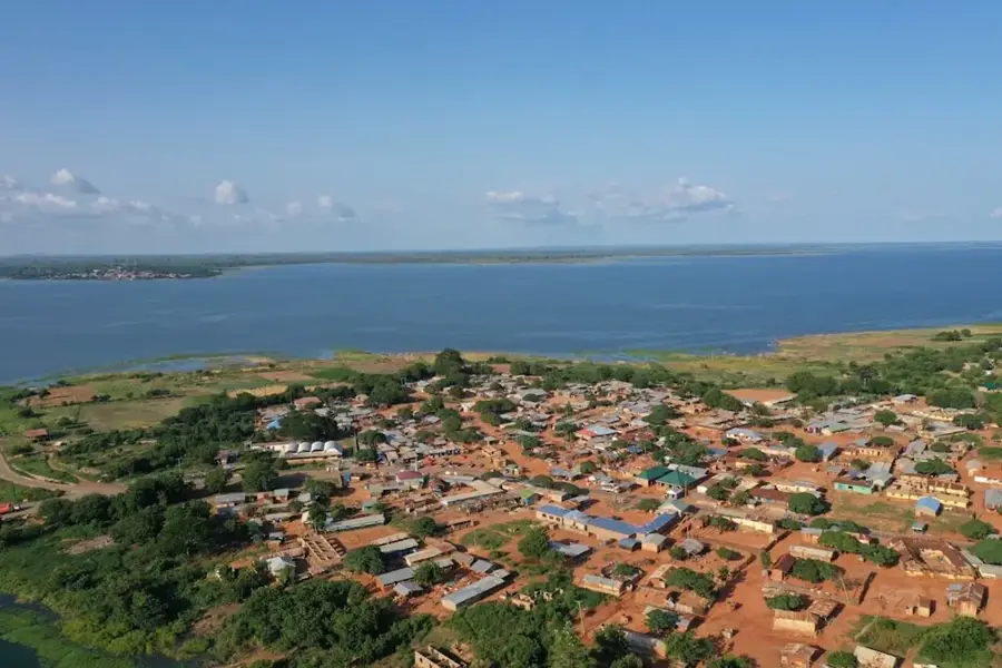
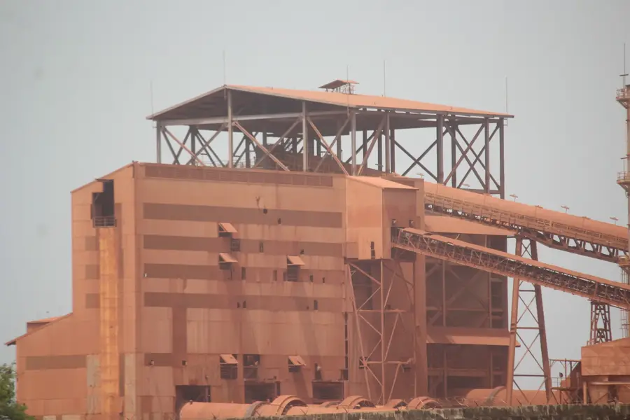
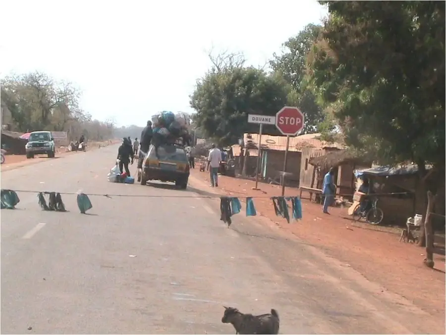
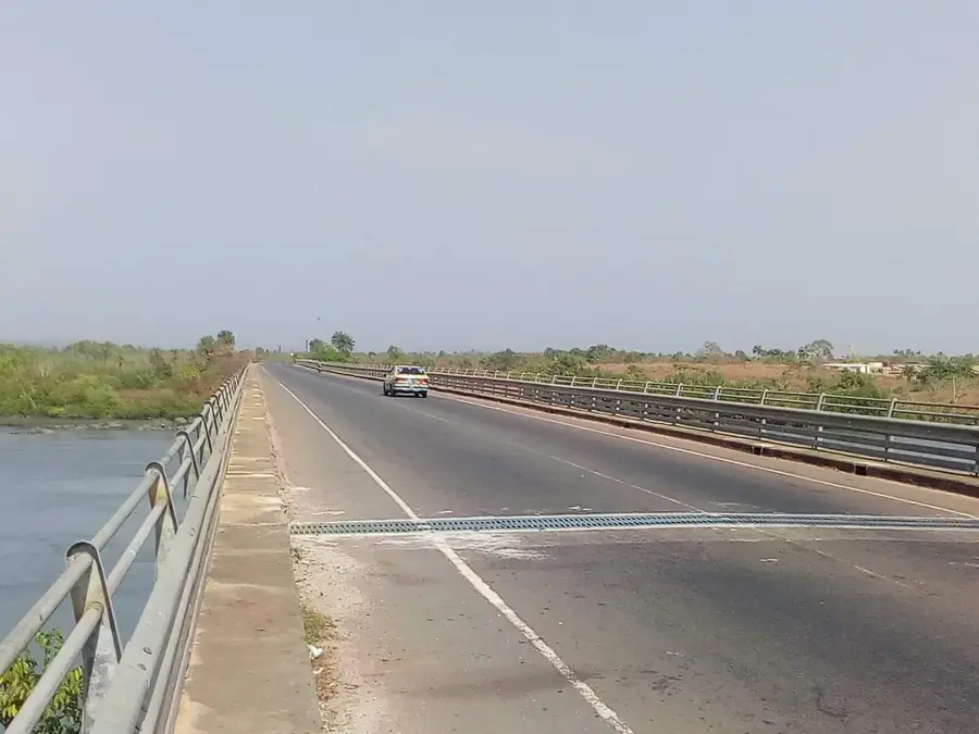
The Atlantic Ocean forms Guinea's western border and serves as the nation's vital link to global trade and ecological networks. The Guinean coastline stretches for approximately 320 kilometers and is geographically characterized by a highly indented structure featuring numerous estuaries, deep bays, and extensive mangrove swamps. This region, known as Maritime Guinea or Basse-Guinée, experiences some of the most significant tidal ranges in West Africa. Economically, the ocean is the lifeblood of the country: it facilitates the operation of strategic ports in Conakry, Kamsar, and Boffa, which are essential for bauxite exports and the import of essential goods. Furthermore, both artisanal and industrial fishing provide a primary source of protein for millions of residents. Historically, the coast was the first point of contact between local kingdoms and European traders and explorers. Ecologically, Guinea's coastal waters are incredibly diverse, hosting sea turtles, dolphins, and the rare West African manatee in its river mouths. Archipelagos such as the Îles de Los off Conakry are of volcanic origin and serve as critical ecological and tourist sanctuaries. Despite its importance, Guinea's maritime sector faces severe challenges from overfishing, plastic pollution, and the impacts of rising sea levels due to climate change.
- Location: Guinea
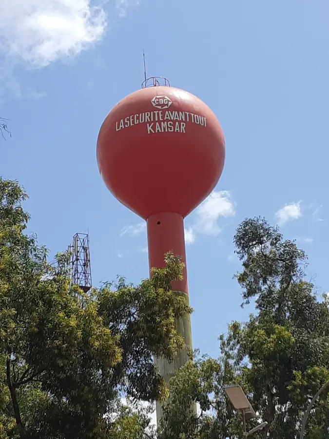
- Nearby: Kamsar (28 km)
Best time to visit & climate
The most pleasant time to visit is Jan, Feb, Apr.
| Jan | Feb | Mar | Apr | May | Jun | Jul | Aug | Sep | Oct | Nov | Dec | |
|---|---|---|---|---|---|---|---|---|---|---|---|---|
| Avg °C | 26 | 26 | 26 | 26 | 27 | 27 | 27 | 26 | 27 | 27 | 28 | 27 |
| Rain mm | 1 | 1 | 3 | 2 | 40 | 227 | 508 | 638 | 380 | 186 | 30 | 1 |
📋 Practical info
Geography
Facts
- Guinea's coastline features a remarkable tidal range of up to 5 meters.
- The Atlantic Ocean provides over 90% of the domestic fish supply in Guinea.
- The Îles de Los archipelago is the primary offshore destination for tourism.
- The coastal zone serves as a critical nesting ground for Green sea turtles.
- Ocean-going bulk carriers are the backbone of Guinea's mineral-led economy.
- Coastal erosion linked to climate change is a primary environmental concern for Conakry.
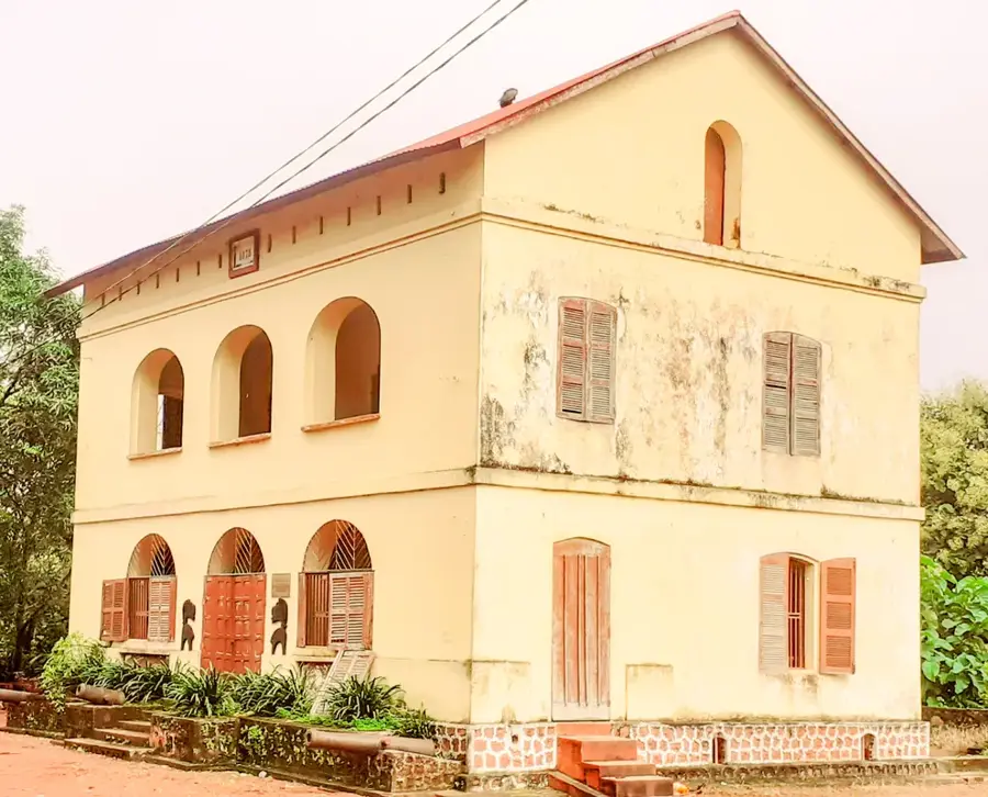
Explore nearby
Notable places around
Route planner — Car & Motorhome
Where do you start? We build the route here, with stops and country notes along the way.
© OpenStreetMap contributors · OpenRouteService
Sights nearby
Frequently asked questions
Can you swim in the Atlantic Ocean off Guinea?
How warm is the water?
Are there sharks off the coast?
When is the best time for sailing?
Is whale watching possible?
Atlantic Ocean: where is it located?
Atlantic Ocean: when is the best time to visit?
Atlantic Ocean: why is it worth visiting?

Nearby cities


Nature
More places