Plizio Visual Lab
Port of Tite
Weather…
Water temperature…
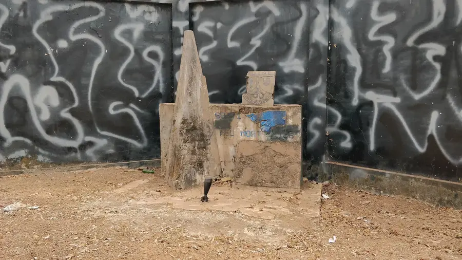
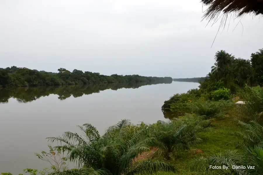
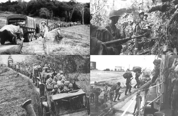
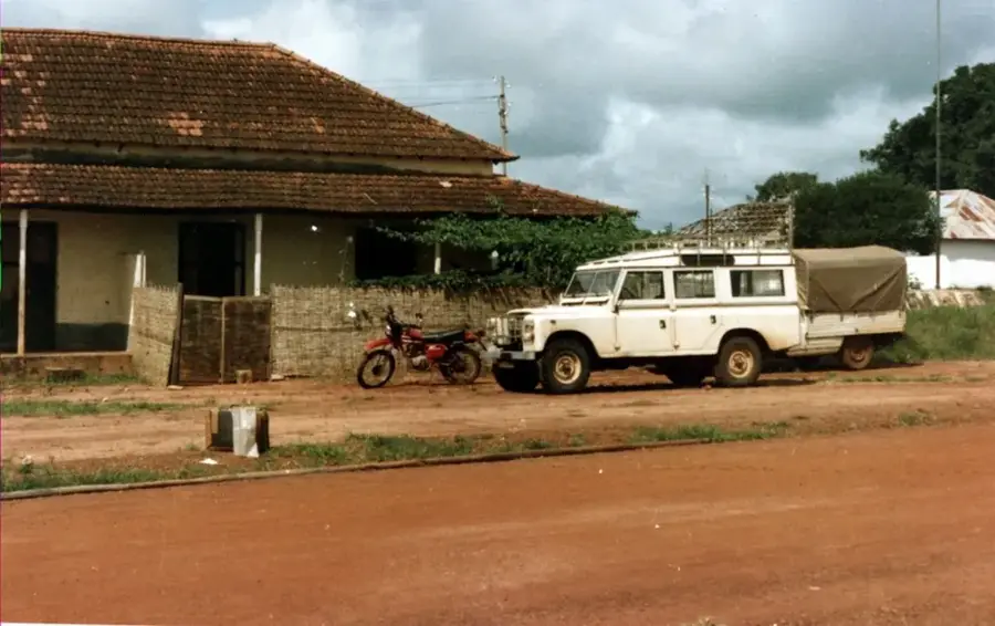
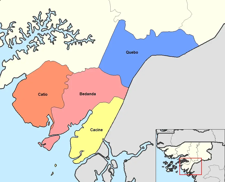
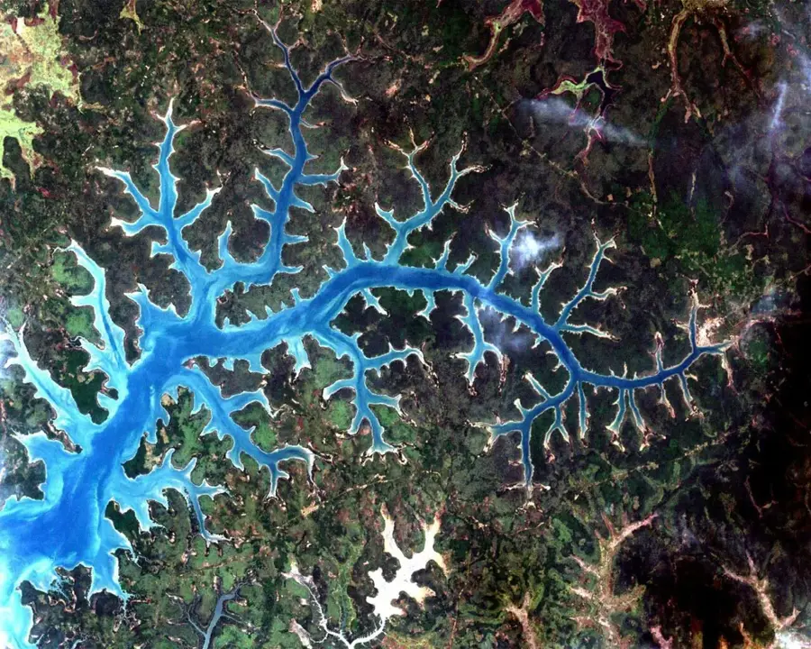
The Port of Tite, located on the southern shore of the Geba estuary in the Quinará region, is a small but historically and economically significant loading point. Its location directly opposite the capital, Bissau, makes it a vital logistical link between the metropolis and the southern parts of the country. Today, Tite's economic importance is primarily based on the shipment of agricultural products, particularly rice from the region's extensive 'bolonhas' and cashew nuts. Historically, the port gained prominence during the War of Independence, serving as one of the strategic supply points for the guerrilla movement. The port's architecture is simple and functional, featuring a concrete pier and storage areas adapted to the harsh climate of the mangrove zone. The port also serves as a major docking point for passenger pirogues, which reach Bissau in significantly less time than the land route via the bypass road. Despite competition from road transport, the Port of Tite remains a symbol of Guinea-Bissau's maritime tradition and an indispensable piece of infrastructure for the rural development of Quinará.
- Location: Guinea-Bissau
- Nearby: Tite (8 km)
Best time to visit & climate
The most pleasant time to visit is Jan, Feb, Dec.
| Jan | Feb | Mar | Apr | May | Jun | Jul | Aug | Sep | Oct | Nov | Dec | |
|---|---|---|---|---|---|---|---|---|---|---|---|---|
| Avg °C | 24 | 26 | 27 | 28 | 28 | 28 | 27 | 27 | 27 | 28 | 28 | 25 |
| Rain mm | 0 | 0 | 1 | 0 | 21 | 142 | 405 | 518 | 363 | 189 | 15 | 0 |
📋 Practical info
Geography
Facts
- Tite serves as the primary maritime link between Bissau and the Quinará region.
- The port dramatically reduces travel time to the south compared to the long overland route.
- The Tite area is among the nation's most productive wetland rice-growing regions.
- During the liberation struggle, the port was a site of significant strategic operations.
- The port’s concrete pier has recently undergone essential maintenance repairs.
- Local fishermen utilize the port as a base for operations within the Geba estuary.
Explore nearby
Notable places around
Route planner — Car & Motorhome
Where do you start? We build the route here, with stops and country notes along the way.
© OpenStreetMap contributors · OpenRouteService
Sights nearby
Frequently asked questions
What is transported in the Tite port?
Is the port safe for visitors?
Are there hotels nearby?
Can you watch the dock workers at work?
What role does the port play for the region?
Port of Tite: where is it located?
Port of Tite: when is the best time to visit?
Port of Tite: why is it worth visiting?

Nearby cities
Nature
More places