Plizio Visual Lab
Corubal Basin
Weather…
Water temperature…
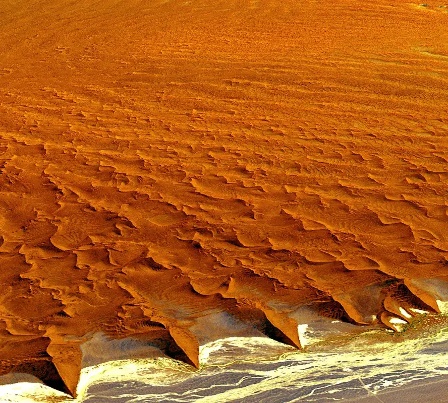
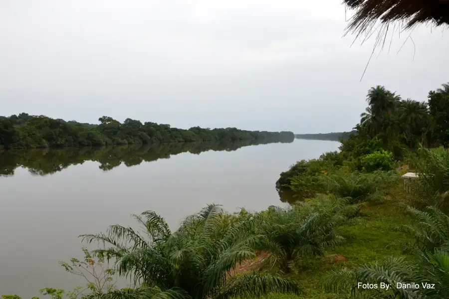
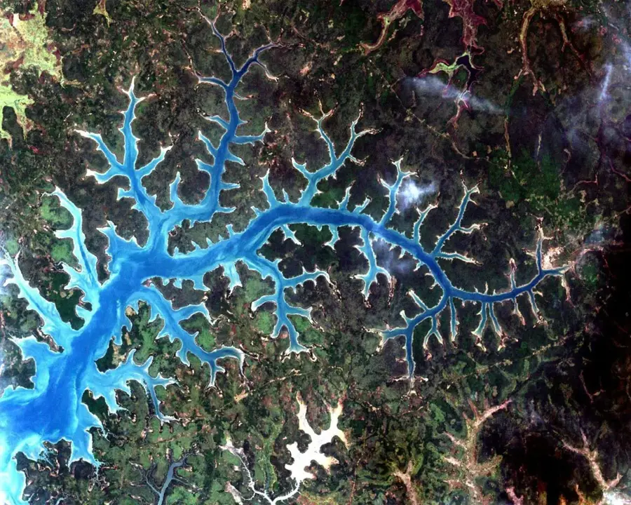
The Corubal River basin in southeastern Guinea-Bissau represents one of the country's most dynamic relief zones. In contrast to the flat coastal plains, this area is characterized by a more pronounced gradient as the river descends from the Fouta-Djallon highlands. The relief is defined by river valleys carved deeply into the laterite bedrock, flanked by steep slopes and prominent rock formations. Particularly characteristic are the numerous rapids and waterfalls, such as those at Saltinho and Cusselinta, created by the hard geological barriers of the substrate. The Corubal basin functions as a massive drainage system for the eastern plateaus and is marked by rapidly rising water levels during the monsoon season. Geomorphologically, this relief is a transition zone between the mountain ranges of Guinea and the plains of Guinea-Bissau. The erosive power of the water has created a landscape here that is rich in mineral deposits and fertile alluvial soils on the valley floors. For ecological stability, this basin is of decisive importance, as it regulates the hydrology of the entire southeast.
- Location: Guinea-Bissau
- Nearby: Quebo (18 km)
Best time to visit & climate
The most pleasant time to visit is Jan, Nov, Dec.
| Jan | Feb | Mar | Apr | May | Jun | Jul | Aug | Sep | Oct | Nov | Dec | |
|---|---|---|---|---|---|---|---|---|---|---|---|---|
| Avg °C | 25 | 28 | 30 | 30 | 30 | 28 | 26 | 26 | 26 | 27 | 26 | 25 |
| Rain mm | 0 | 0 | 1 | 1 | 30 | 166 | 422 | 529 | 367 | 182 | 18 | 0 |
📋 Practical info
Geography
Facts
- The basin includes the most water-rich tributary of the Geba River.
- The relief features the highest river flow velocities in the country.
- Laterite crusts form natural steps within the riverbed.
- Annual rainfall amounts in the basin are among the highest in the region.
- The topography encourages the formation of deep gallery forests.
- Significant bauxite deposits are found within the basin's depressions.
Explore nearby
Notable places around
Route planner — Car & Motorhome
Where do you start? We build the route here, with stops and country notes along the way.
© OpenStreetMap contributors · OpenRouteService
Sights nearby
Frequently asked questions
What are the Saltos do Rio Corubal?
Can you swim in the Corubal River?
When is the Corubal Basin most beautiful?
Are there guided boat tours on the Corubal?
What clothing is appropriate for the region?
Corubal Basin: where is it located?
Corubal Basin: when is the best time to visit?
Corubal Basin: why is it worth visiting?

Nearby cities
Nature
More places