Plizio Visual Lab
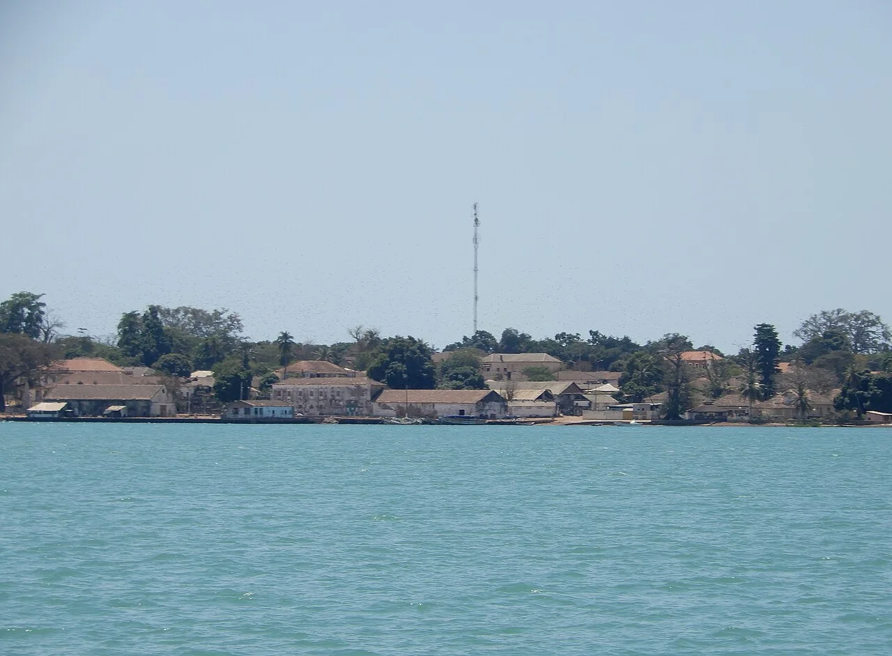
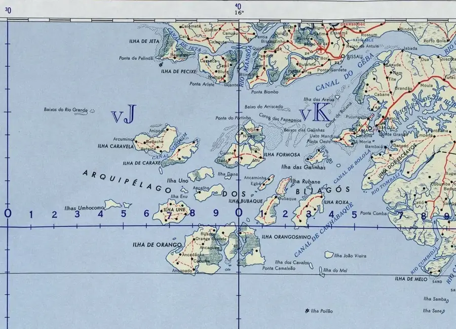
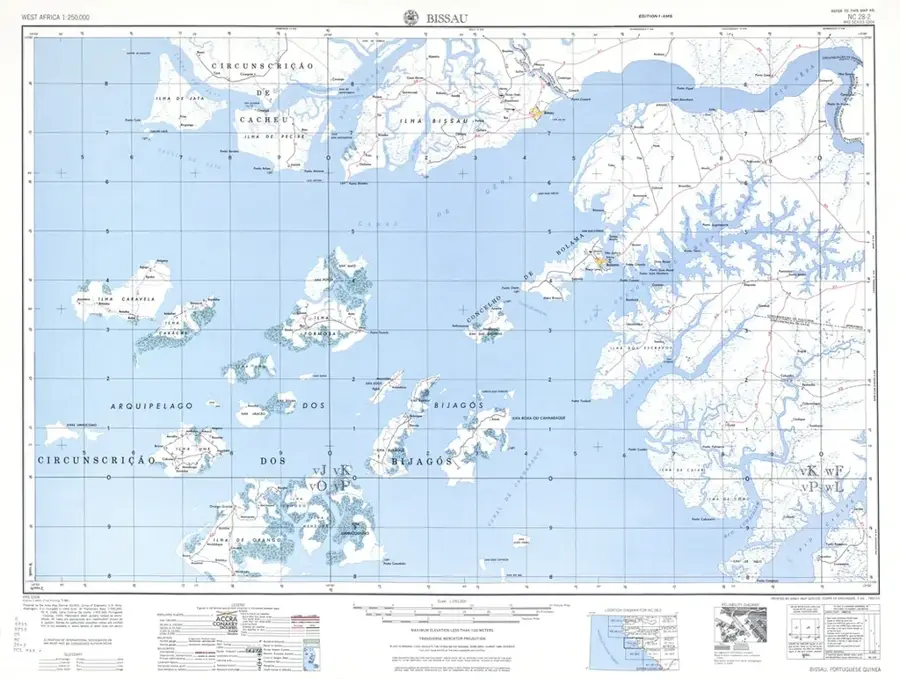
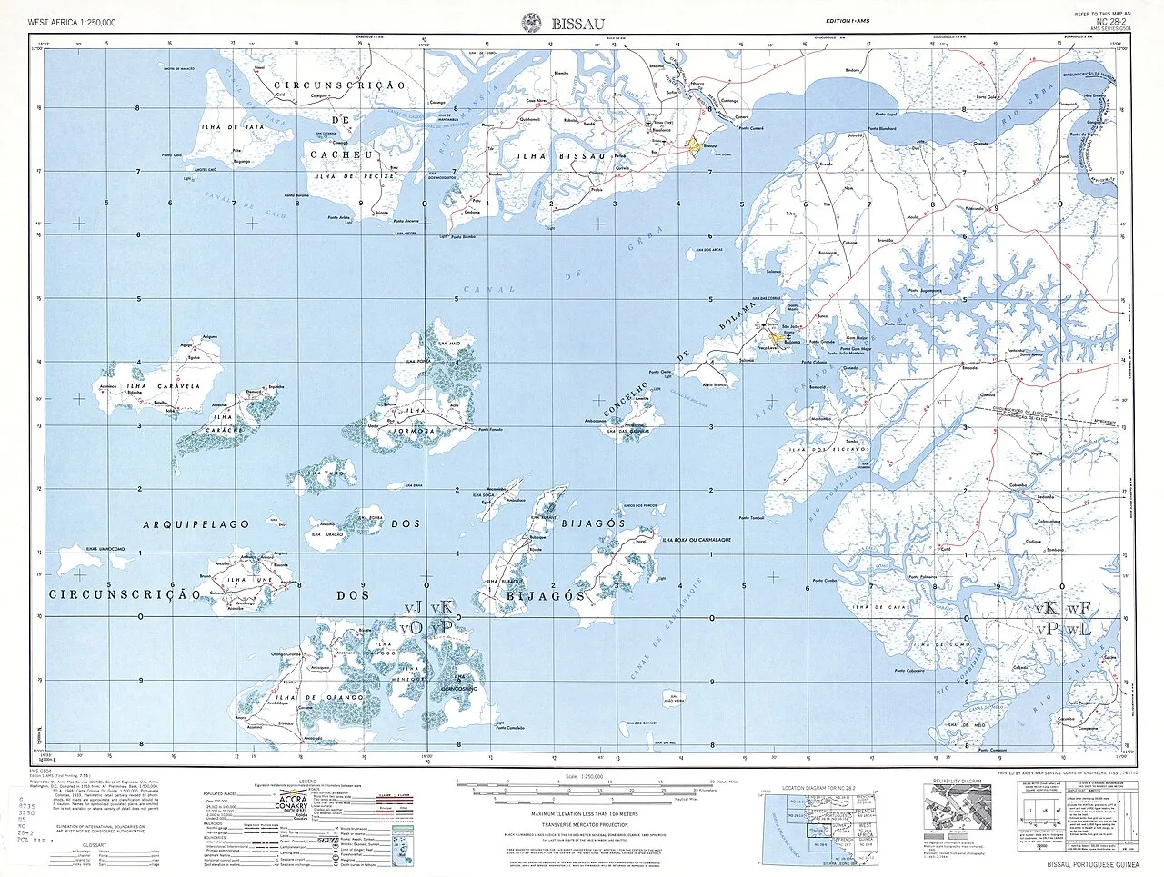
Bolama Island

Weather…
Water temperature…
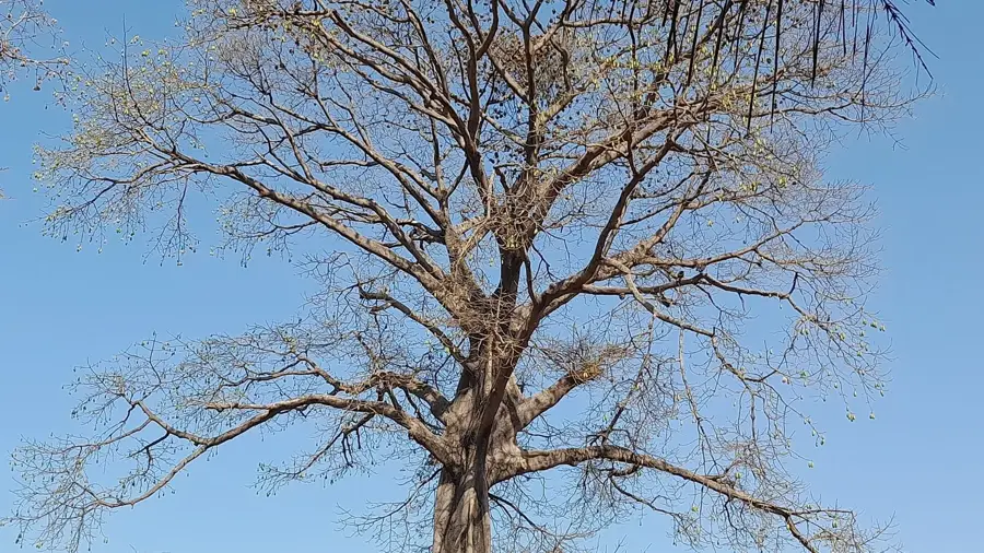
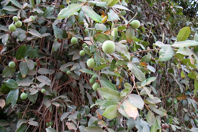
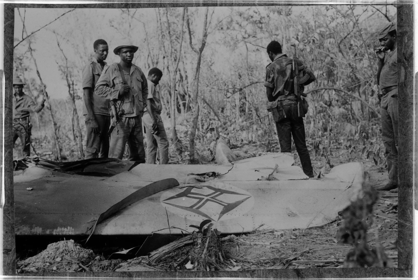
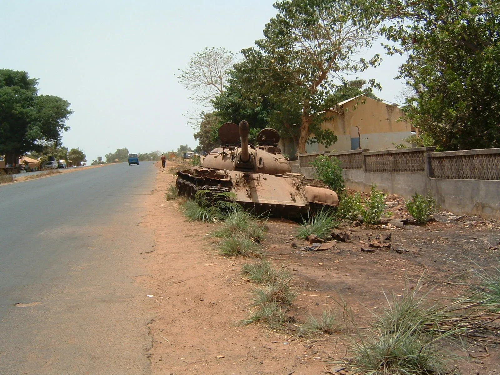
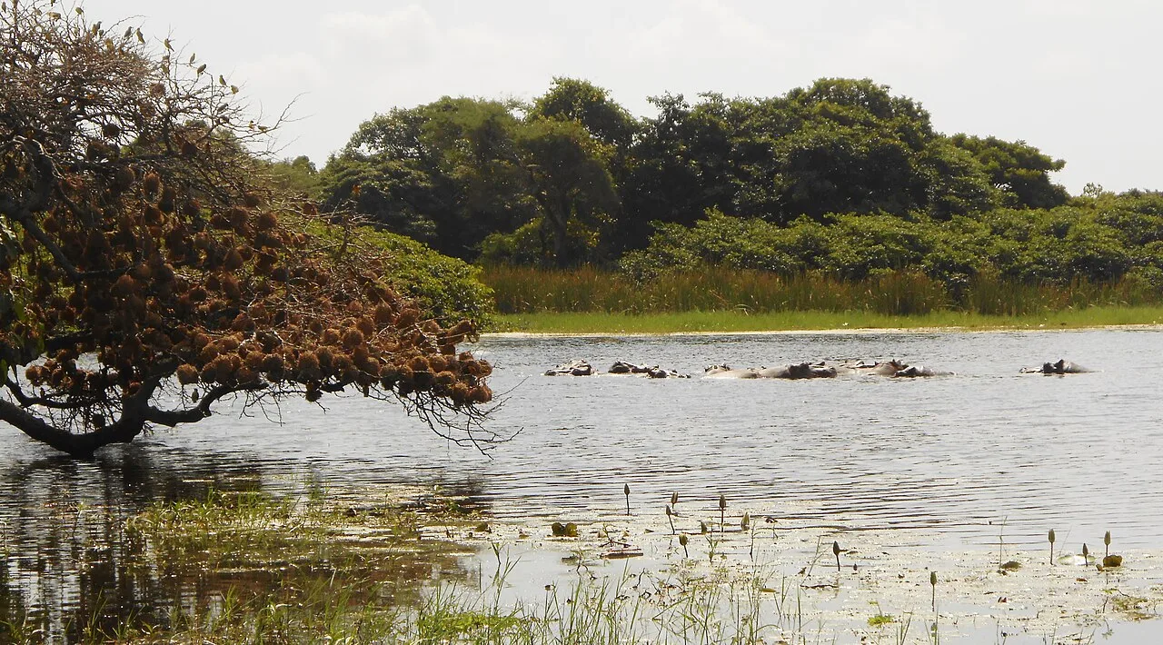
Bolama Island is the closest island to the mainland in the Bijagós Archipelago and is characterized by a unique blend of ecological diversity and colonial melancholy. Naturally, Bolama is dominated by extensive mangrove belts that form the transition zone between the Geba River estuary and the open Atlantic Ocean. These mangroves are vital ecosystems that act as carbon sinks and host an enormous biomass of fish and crustaceans. In the island's interior, there are remnants of tropical dry forests and overgrown plantations that have been reclaimed by nature since the capital was relocated in 1941. The island is a significant refuge for migratory birds, which find abundant food in the muddy intertidal zones during low tide. The coastline is marked by narrow sandy beaches and rugged laterite cliffs. Due to its geographic location, Bolama functions as an ecological bridge between the mainland's coastal wetlands and the more isolated islands of the outer archipelago. Preserving this sensitive transition zone is crucial for the ecological balance of the entire estuary region.
- Location: Guinea-Bissau
- Top sights: Casa da Guarda e Prisão · Jardim Honório Barreto · Ruinas de casa comercial
- Nearby: Empada (18 km)
Best time to visit & climate
The most pleasant time to visit is Jan, Feb, Dec.
| Jan | Feb | Mar | Apr | May | Jun | Jul | Aug | Sep | Oct | Nov | Dec | |
|---|---|---|---|---|---|---|---|---|---|---|---|---|
| Avg °C | 24 | 26 | 27 | 28 | 28 | 28 | 27 | 27 | 27 | 28 | 28 | 25 |
| Rain mm | 0 | 0 | 1 | 0 | 21 | 142 | 405 | 518 | 363 | 189 | 15 | 0 |
📋 Practical info
Geography
Facts
- Bolama is located only about 4 kilometers from the Bissau-Guinean mainland.
- The island is part of the UNESCO Bolama-Bijagós Biosphere Reserve.
- Vast mudflats at low tide attract thousands of wading birds.
- The flora includes rare orchid species within the humid forest fragments.
- The island faces significant threats from coastal erosion and sea-level rise.
- Bolama is noted for its high population density of straw-colored fruit bats.
Explore nearby
Notable places around
Route planner — Car & Motorhome
Where do you start? We build the route here, with stops and country notes along the way.
© OpenStreetMap contributors · OpenRouteService
Sights in the town Bolama Island (6)
Ruinas de pavilhão hospitalar - Internamento
Ruins of a former hospital pavilion on Bolama Island.
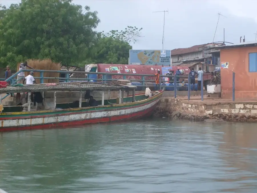
Praia de Ofir
Sandy beach in Guinea-Bissau, located along the coast.
Sights nearby
Frequently asked questions
Why is Bolama often called a ghost town?
Are there good beaches on Bolama?
Can the island be visited in one day?
Is the island inhabited?
Is there electricity and water there?
Bolama Island: where is it located?
Bolama Island: what is there to see?
Bolama Island: when is the best time to visit?
Bolama Island: why is it worth visiting?

Nearby cities
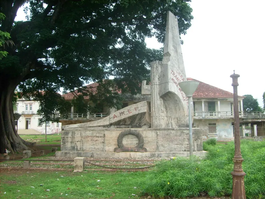


History & landmarks
More places