Plizio Visual Lab
Quinará Hills

Weather…
Water temperature…
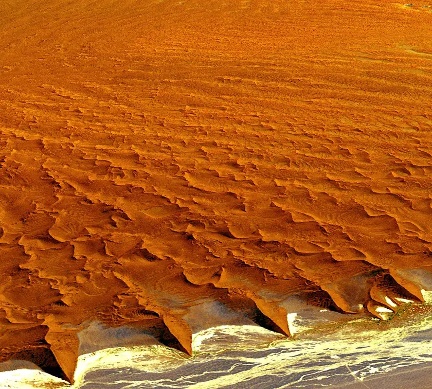
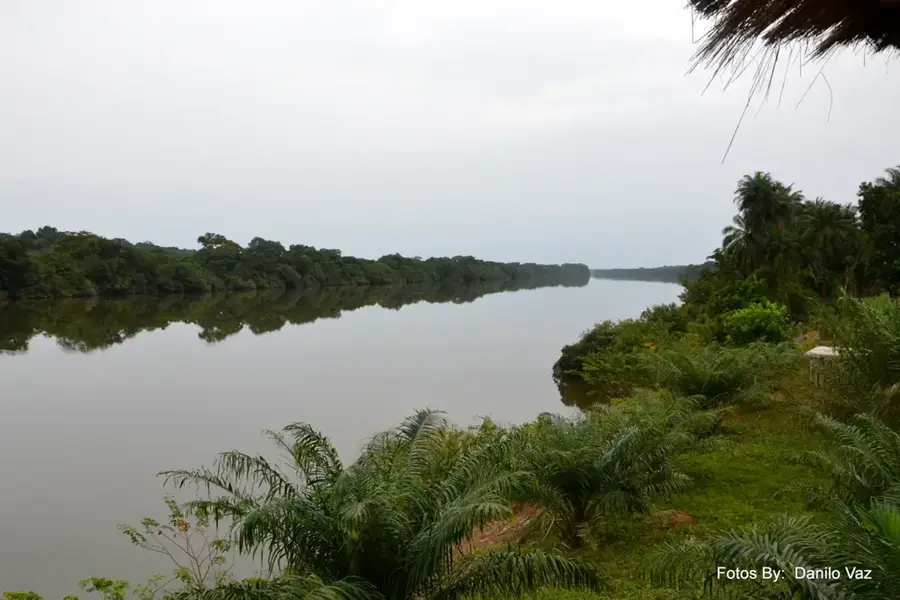
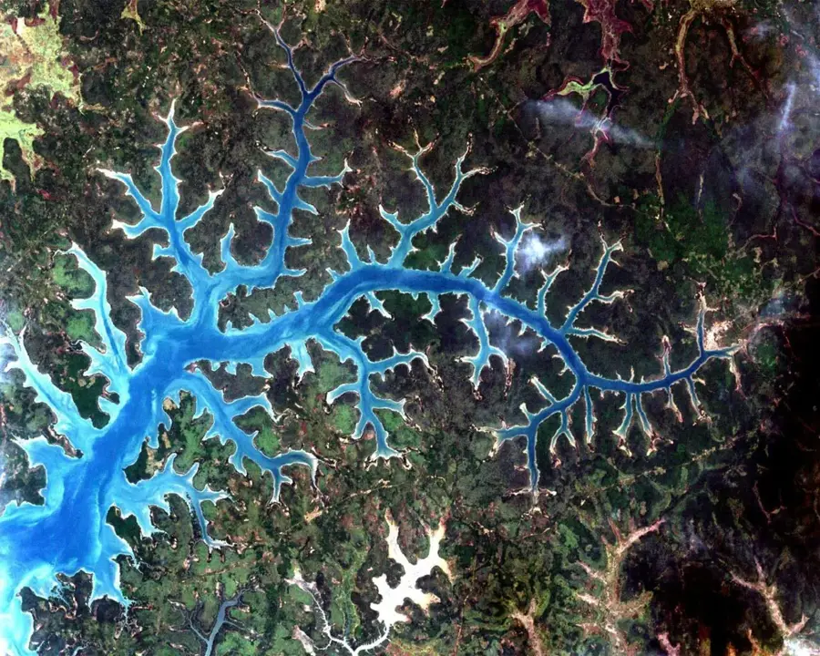
The Quinará Hills in central-southern Guinea-Bissau form a prominent relief threshold between the coastal lowlands and the higher Boé plateau. This relief is characterized by a series of gently rising laterite ridges and isolated inselbergs that structure the otherwise flat hinterland. The hills reach heights of up to 80 meters and offer wide views over the surrounding mangrove forests and the Rio Grande de Buba. Geomorphologically, it is an erosional landscape where more resistant rock layers have remained as elevations. The relief influences the local climate by forcing moist sea winds to rise, resulting in locally increased precipitation. The valleys between the hills are often filled with fertile alluvial soils and host dense forest islands. This relief has frequently served in history as a natural retreat and surveillance point for movements along the rivers. The soil is distinguished by its intense red color, resulting from the high iron oxide content of the laterite. For the region's infrastructure, the Quinará Hills pose a challenge, as road construction projects must overcome significant gradients here.
- Location: Guinea-Bissau
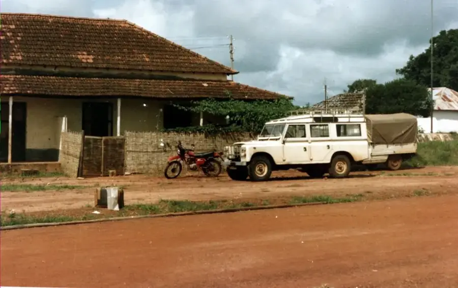
- Nearby: Bulula (10 km)
Best time to visit & climate
The most pleasant time to visit is Jan, Feb, Dec.
| Jan | Feb | Mar | Apr | May | Jun | Jul | Aug | Sep | Oct | Nov | Dec | |
|---|---|---|---|---|---|---|---|---|---|---|---|---|
| Avg °C | 24 | 26 | 29 | 30 | 31 | 29 | 27 | 26 | 26 | 27 | 26 | 24 |
| Rain mm | 1 | 0 | 1 | 0 | 26 | 146 | 381 | 479 | 344 | 163 | 13 | 0 |
📋 Practical info
Geography
Facts
- The hills represent the highest points in the Quinará region.
- The relief is composed almost entirely of solid laterite rock.
- The elevations serve as crucial landmarks for overland navigation.
- Specialized succulents and grasses grow on the hilltops.
- The topography encourages the formation of small waterfalls during the rainy season.
- Quinará is famous for its 'red hills', which are visible from a long distance.
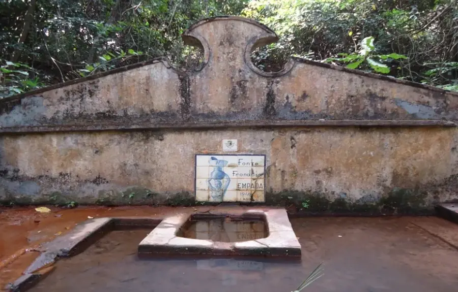
Explore nearby
Notable places around
Route planner — Car & Motorhome
Where do you start? We build the route here, with stops and country notes along the way.
© OpenStreetMap contributors · OpenRouteService
Sights nearby
Frequently asked questions
How high are the hills in the Quinará Hills?
Are there viewpoints in Quinará?
Are the hills suitable for hiking?
What vegetation can be expected in the hills?
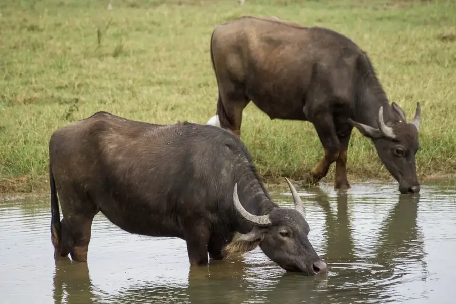
Are there wild animals in the Quinará hills?
Quinará Hills: where is it located?
Quinará Hills: when is the best time to visit?
Quinará Hills: why is it worth visiting?

Nearby cities
Nature
More places