Plizio Visual Lab
Rio Grande Coastal Relief
Weather…
Water temperature…
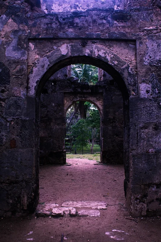
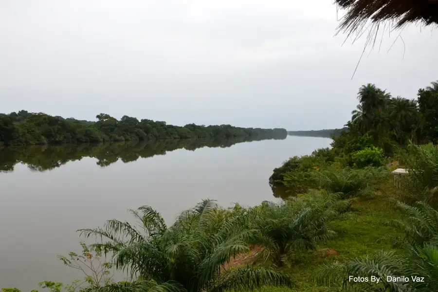
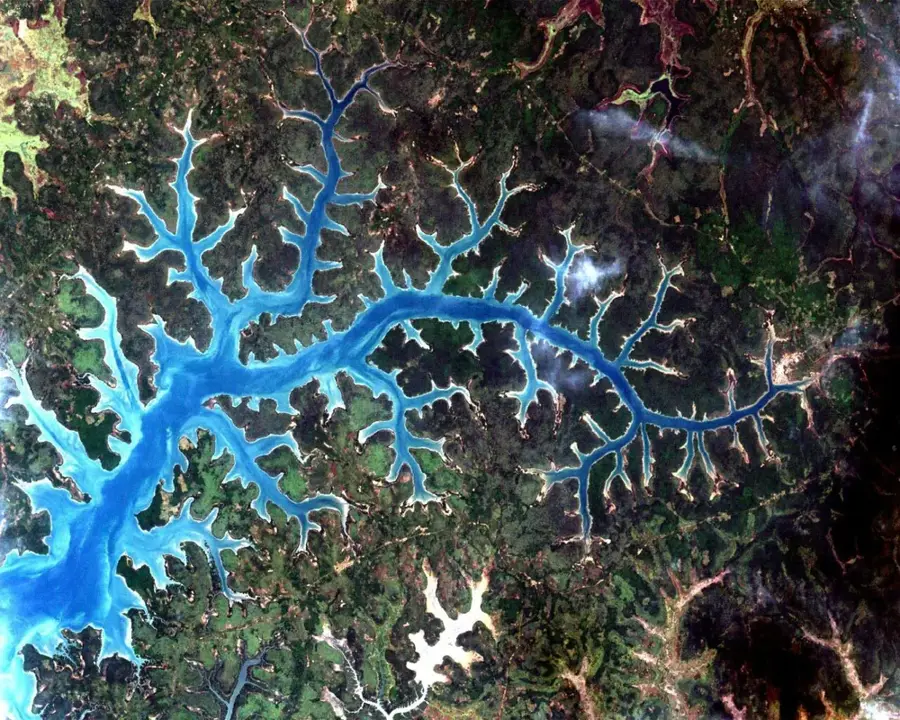
The relief of the Rio Grande de Buba in southwestern Guinea-Bissau is geomorphologically unique in West Africa, as it represents a true 'ria' type, a deep river valley flooded by the sea. This relief is characterized by steeply rising banks of laterite stone that tower up to 20 meters above the water level. In contrast to the flat estuaries of the north, the Rio Grande has an almost fjord-like appearance, with deep water bordering directly on the forested slopes. The shoreline is highly indented, with numerous small bays and headlands shaped by saltwater erosion and the tectonic subsidence of the basin. This relief allows the Atlantic to penetrate deep into the interior, resulting in constant salinity throughout the system. The valley floor is uneven and features deep channels that provide handy conditions for large marine fauna. Geologically, this relief documents the post-glacial sea-level rise that transformed the former freshwater valley into a saltwater inlet. The steep relief of the banks limits mangrove growth to narrow strips, visually distinguishing the Rio Grande significantly from the country's other waterways.
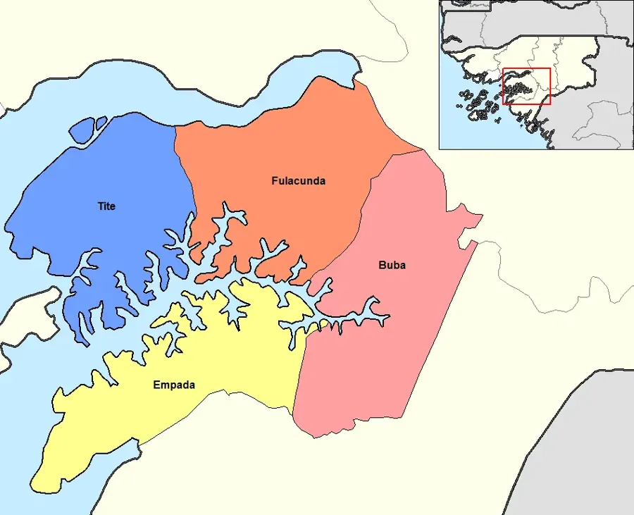
- Location: Guinea-Bissau
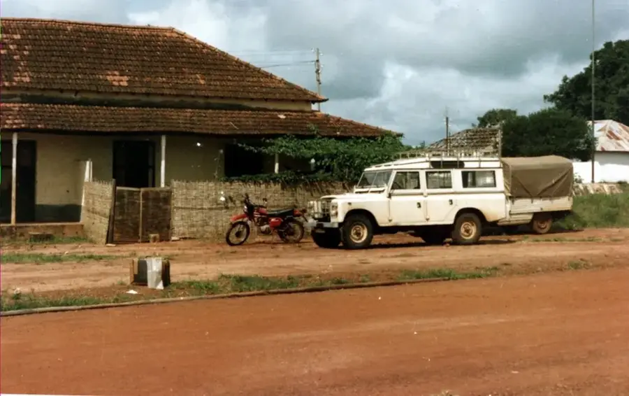
- Nearby: Fulacunda (6 km)
Best time to visit & climate
The most pleasant time to visit is Jan, Nov, Dec.
| Jan | Feb | Mar | Apr | May | Jun | Jul | Aug | Sep | Oct | Nov | Dec | |
|---|---|---|---|---|---|---|---|---|---|---|---|---|
| Avg °C | 25 | 28 | 30 | 30 | 30 | 28 | 26 | 26 | 26 | 27 | 26 | 25 |
| Rain mm | 0 | 0 | 1 | 1 | 30 | 166 | 422 | 529 | 367 | 182 | 18 | 0 |
📋 Practical info
Geography
Facts
- The relief is the result of tectonic rifting and marine transgression.
- Water depth in the relief's main channel often exceeds 25 meters.
- Steep laterite cliffs prevent the formation of extensive mangrove swamps.
- The relief forms a natural barrier between the coast and the Boé plateau.
- The shoreline formations consist of extremely erosion-resistant rock.
- Small tributaries cut into the surrounding highlands like miniature canyons.
Explore nearby
Notable places around
Route planner — Car & Motorhome
Where do you start? We build the route here, with stops and country notes along the way.
© OpenStreetMap contributors · OpenRouteService
Sights nearby
Frequently asked questions
What characterizes the coastal relief at Rio Grande?
Are boat trips safe in the region?
Can you fish on the coast?
How is the climate there?
Are there beaches for swimming?
Rio Grande Coastal Relief: where is it located?
Rio Grande Coastal Relief: when is the best time to visit?
Rio Grande Coastal Relief: why is it worth visiting?

Nearby cities
Nature
More places