Plizio Visual Lab
Port of Farim
Weather…
Water temperature…
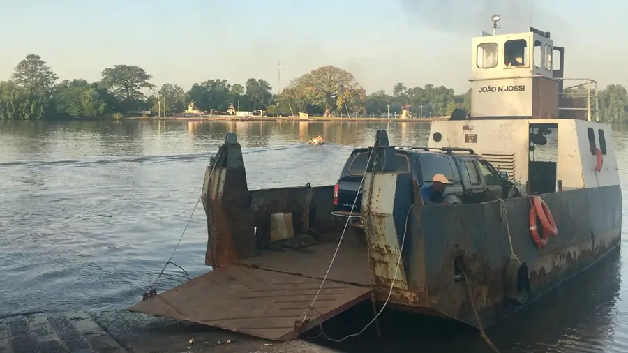
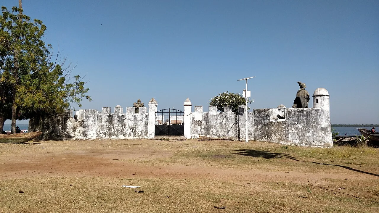
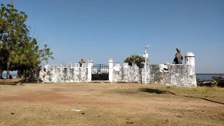
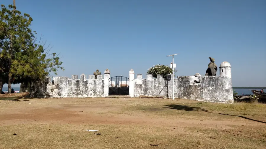
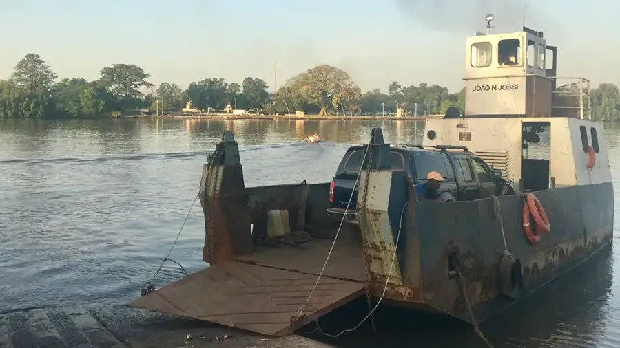
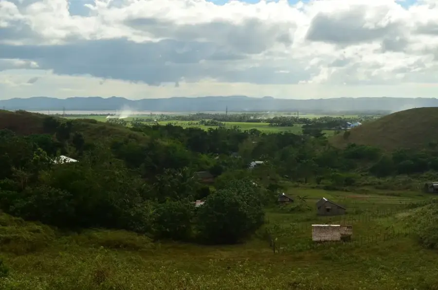
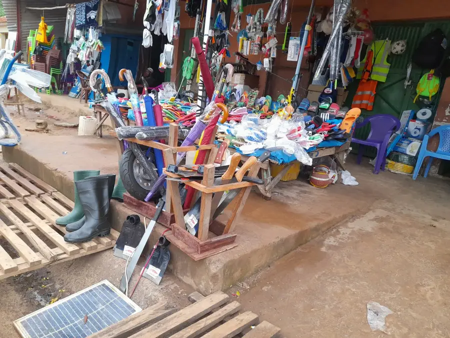
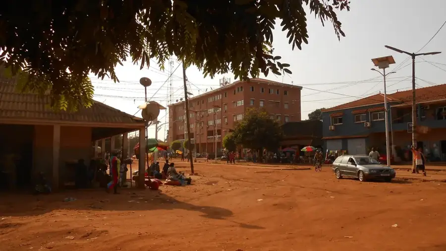
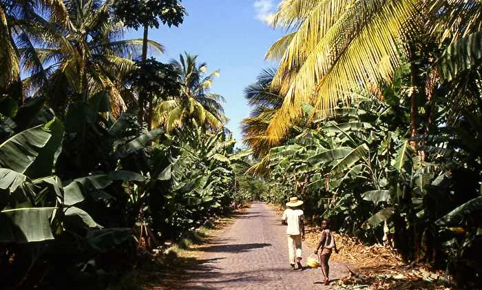
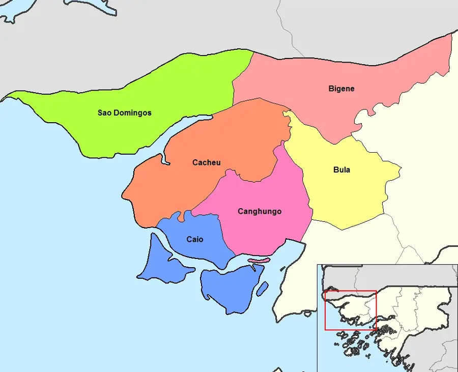
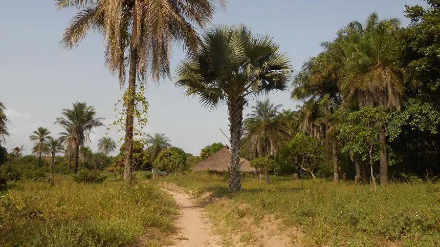
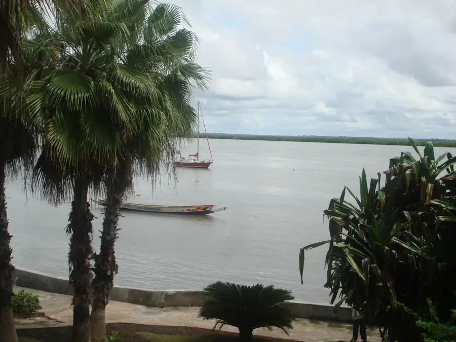
The Port of Farim, situated on the northern bank of the Cacheu River, is a historically significant inland port that now plays a pivotal role in Guinea-Bissau's national development strategies. For centuries, Farim served as the terminus for river navigation from the Atlantic and the primary collection hub for groundnut exports from the northern savanna regions. The port's architecture is functional and is currently undergoing modernization to meet the demands of the massive Farim Phosphate Project. Plans are in place to develop the site into a specialized loading port, from which millions of tons of raw phosphate will be transported by water to the coast. This industrial transformation is turning the port into the economic engine of the Oio region. In addition to industrial use, the port continues to facilitate regional trade with Senegal, with traditional pirogues and smaller cargo vessels handling essential daily goods. Its strategic position at a narrow yet deep section of the Cacheu River allows larger vessels to penetrate deep into the interior. The Port of Farim thus symbolizes Guinea-Bissau's transition from colonial agricultural logistics to a modern, mineral-based economy.
- Location: Guinea-Bissau
- Nearby: Olossato (26 km)
Best time to visit & climate
The most pleasant time to visit is Jan, Feb, Dec.
| Jan | Feb | Mar | Apr | May | Jun | Jul | Aug | Sep | Oct | Nov | Dec | |
|---|---|---|---|---|---|---|---|---|---|---|---|---|
| Avg °C | 23 | 26 | 28 | 31 | 31 | 29 | 27 | 26 | 26 | 27 | 26 | 23 |
| Rain mm | 1 | 0 | 0 | 0 | 21 | 139 | 325 | 420 | 303 | 123 | 8 | 0 |
📋 Practical info
Geography
Facts
- Farim is the furthest inland port reachable by large vessels on the Cacheu River.
- It serves as the critical logistical hub for the national phosphate mining industry.
- The port is a key gateway for informal and formal trade with southern Senegal.
- The river's natural depth at Farim facilitates the docking of bulk carriers.
- Historically, the port was the primary outlet for the region's groundnut production.
- Extensive quay reinforcements are underway to support heavy mineral transport.
Explore nearby
Notable places around
Route planner — Car & Motorhome
Where do you start? We build the route here, with stops and country notes along the way.
© OpenStreetMap contributors · OpenRouteService
Sights in the town Port of Farim (1)
Sights nearby
Frequently asked questions
Can the port be visited?
What goods are handled here?
When is the best time to visit?
Are there guided tours?
What is nearby?
Port of Farim: where is it located?
Port of Farim: when is the best time to visit?
Port of Farim: why is it worth visiting?

Nearby cities


History & landmarks
Nature

More places