Plizio Visual Lab
Rio Mansoa
Weather…
Water temperature…
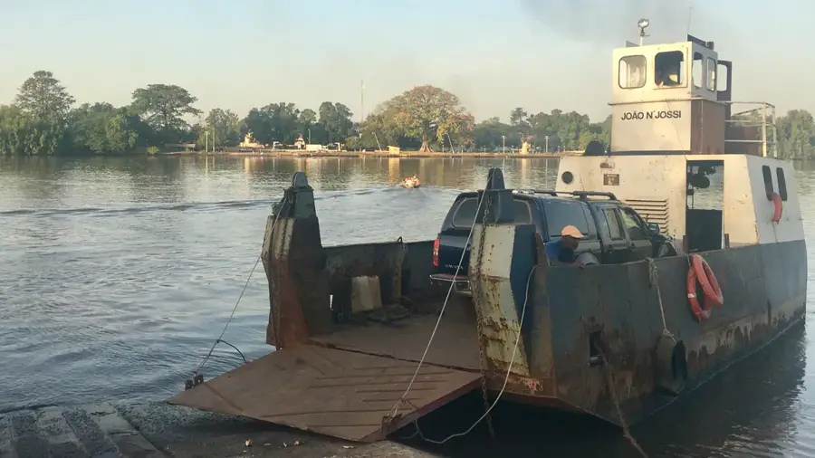
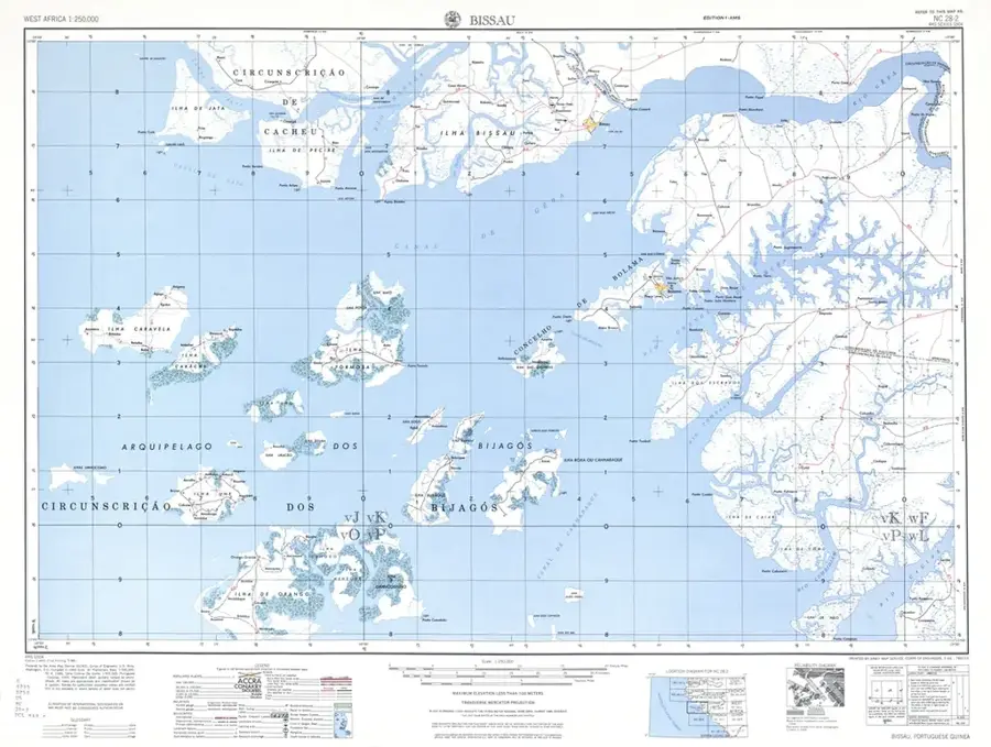
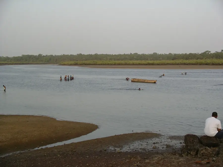
The Mansoa River is one of Guinea-Bissau's central waterways, playing a decisive role in the hydrological balance of the northern central region. Rising in the interior, it flows westward, passing the town of Mansoa before emptying into the Atlantic through a broad estuary. The Mansoa River's nature is characterized by a massive mangrove system that extends deep into the hinterland. These mangroves act as sediment filters and provide vital protection against coastal erosion. The river is ecologically significant as a spawning ground for numerous fish species and shrimp, which form the backbone of the local fishing industry. The riparian areas often consist of fertile 'bolonhas' (marshlands) that have been used for rice cultivation for generations. Tidal action heavily influences the Mansoa, leading to significant saltwater intrusion, which poses challenges for agricultural management. The river is also a vital transport route for trade between the Oio region and Bissau. The silent mangrove forests along the Mansoa support a rich birdlife and rare reptiles, such as the West African slender-snouted crocodile.
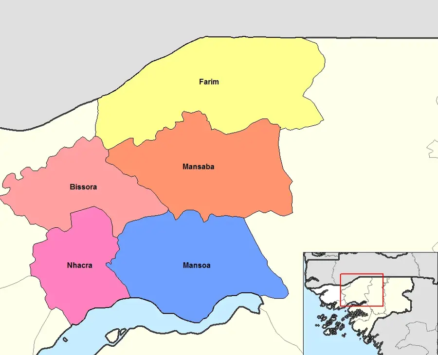
- Location: Guinea-Bissau
- Nearby: Mansôa (5 km)
Best time to visit & climate
The most pleasant time to visit is Jan, Feb, Dec.
| Jan | Feb | Mar | Apr | May | Jun | Jul | Aug | Sep | Oct | Nov | Dec | |
|---|---|---|---|---|---|---|---|---|---|---|---|---|
| Avg °C | 23 | 25 | 27 | 29 | 29 | 28 | 27 | 26 | 26 | 27 | 26 | 24 |
| Rain mm | 1 | 0 | 0 | 0 | 21 | 132 | 375 | 487 | 355 | 173 | 11 | 0 |
📋 Practical info
Geography
Facts
- The Mansoa estuary is famous for its high productivity of shrimp.
- The mangrove forests along the river are among the densest in the country.
- Tidal fluctuations can be felt as far as 80 kilometers upstream.
- Historically, the river was a primary conduit for peanut exports.
- Its banks host some of the largest rice 'bolonhas' in the Oio region.
- The Mansoa River serves as a natural boundary between the Oio and Biombo regions.
Explore nearby
Notable places around
Route planner — Car & Motorhome
Where do you start? We build the route here, with stops and country notes along the way.
© OpenStreetMap contributors · OpenRouteService
Sights nearby
Frequently asked questions
What activities can you do on Rio Mansoa?
Are there crocodiles in the river?
How wide is Rio Mansoa?
Are there bridges over the river?
Can you see manatees there?
Rio Mansoa: where is it located?
Rio Mansoa: when is the best time to visit?
Rio Mansoa: why is it worth visiting?

Nearby cities


More places