Plizio Visual Lab
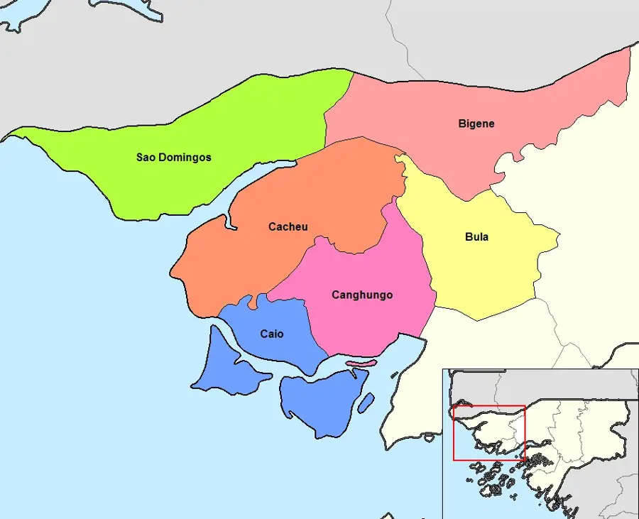
Cacheu Plain
Weather…
Water temperature…
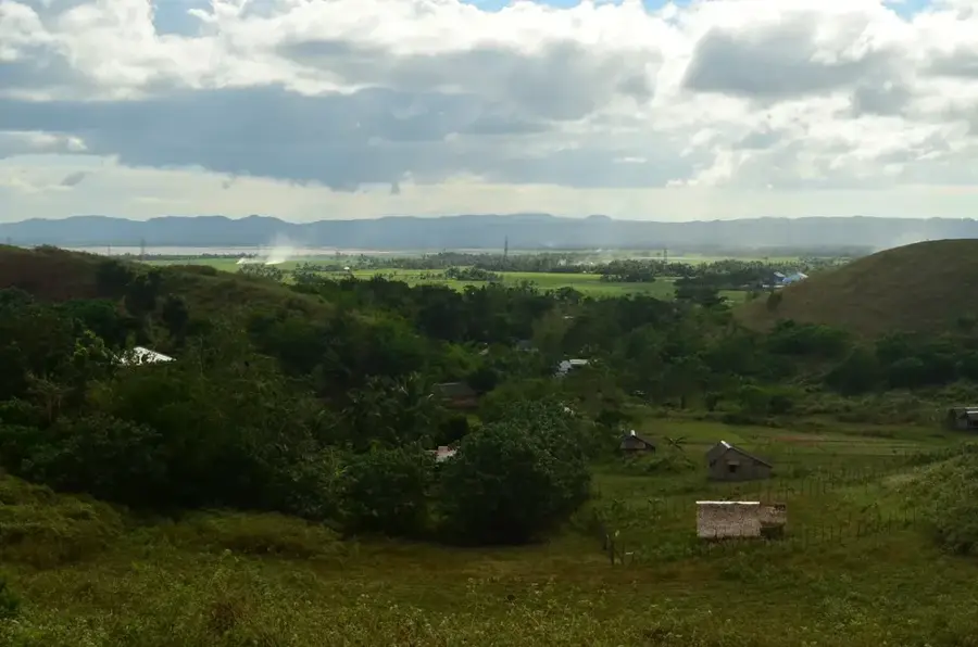
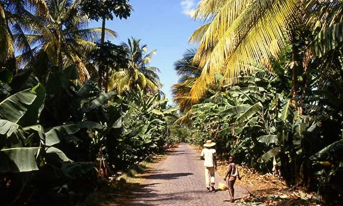
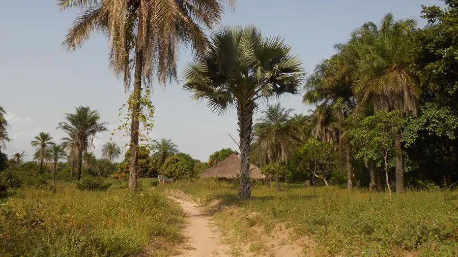
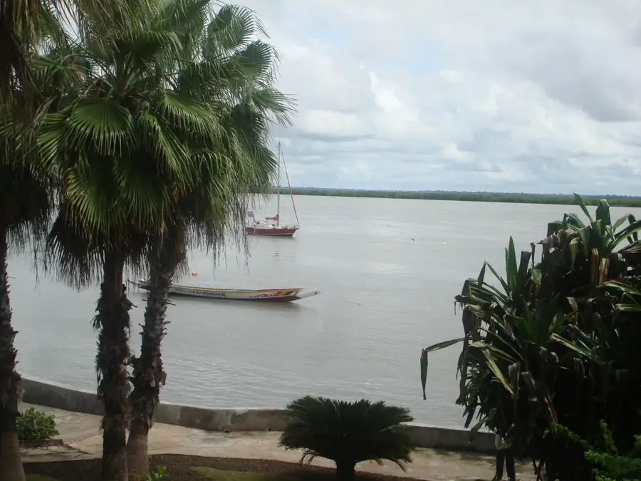
The Cacheu Plain in northern Guinea-Bissau is a classic example of a marine and fluvial accumulation relief. This extensive lowland is almost entirely shaped by the deposits of the Cacheu River and the influences of the Atlantic. The topography is extremely flat, with large parts of the relief flooded at high tide or requiring protection through a system of dikes. Geomorphologically, the plain consists of fine-grained alluvial soils and marine clays, which are highly fertile but susceptible to salinization. The relief is structured by a network of natural drainage channels and artificial canals, essential for rice cultivation in the 'bolonhas'. The Cacheu Plain functions as a vast buffer between the open sea and the inland plateaus. Characteristic are the wide horizons, broken only by isolated mangrove clusters or scattered palm trees. This relief documents the constant struggle between land reclamation and marine erosion and is the economic heart of the northern coastal region.
- Location: Guinea-Bissau
- Nearby: Cacheu (10 km)
Best time to visit & climate
The most pleasant time to visit is Jan, Feb, Dec.
| Jan | Feb | Mar | Apr | May | Jun | Jul | Aug | Sep | Oct | Nov | Dec | |
|---|---|---|---|---|---|---|---|---|---|---|---|---|
| Avg °C | 24 | 26 | 27 | 27 | 28 | 28 | 27 | 27 | 27 | 28 | 27 | 25 |
| Rain mm | 1 | 0 | 7 | 1 | 10 | 111 | 369 | 494 | 353 | 175 | 11 | 0 |
📋 Practical info
Geography
Facts
- The plain averages less than 5 meters above sea level.
- The relief was shaped by the regression of the sea over the last 10,000 years.
- Tidal currents penetrate deep into the topography of the plain.
- The soil composition enables large-scale mechanized rice cultivation.
- The relief is characterized by a high concentration of salt pans near the coast.
- The Cacheu Plain is one of the geologically youngest areas in the country.
Explore nearby
Notable places around
Route planner — Car & Motorhome
Where do you start? We build the route here, with stops and country notes along the way.
© OpenStreetMap contributors · OpenRouteService
Sights nearby
Frequently asked questions
What is historically significant about the Cacheu Plain?
What can be seen in the Cacheu National Park?
What is the terrain of the plain like?
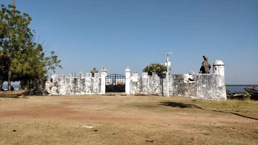
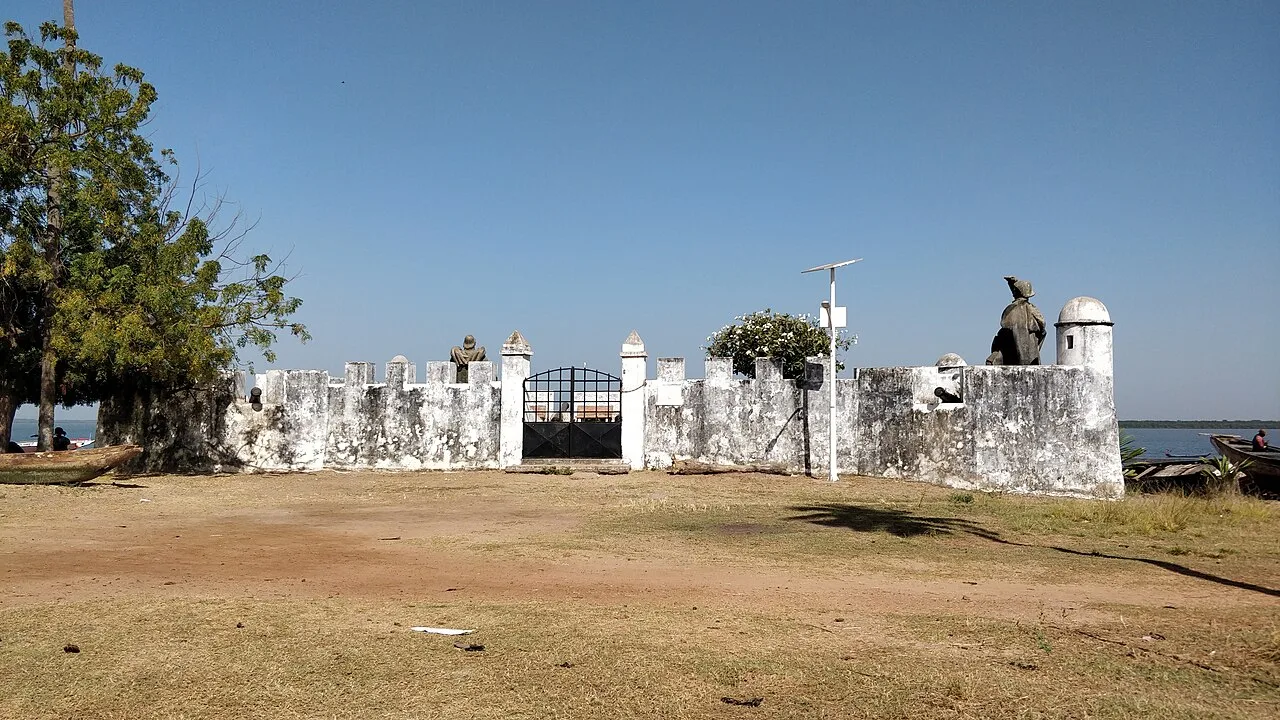
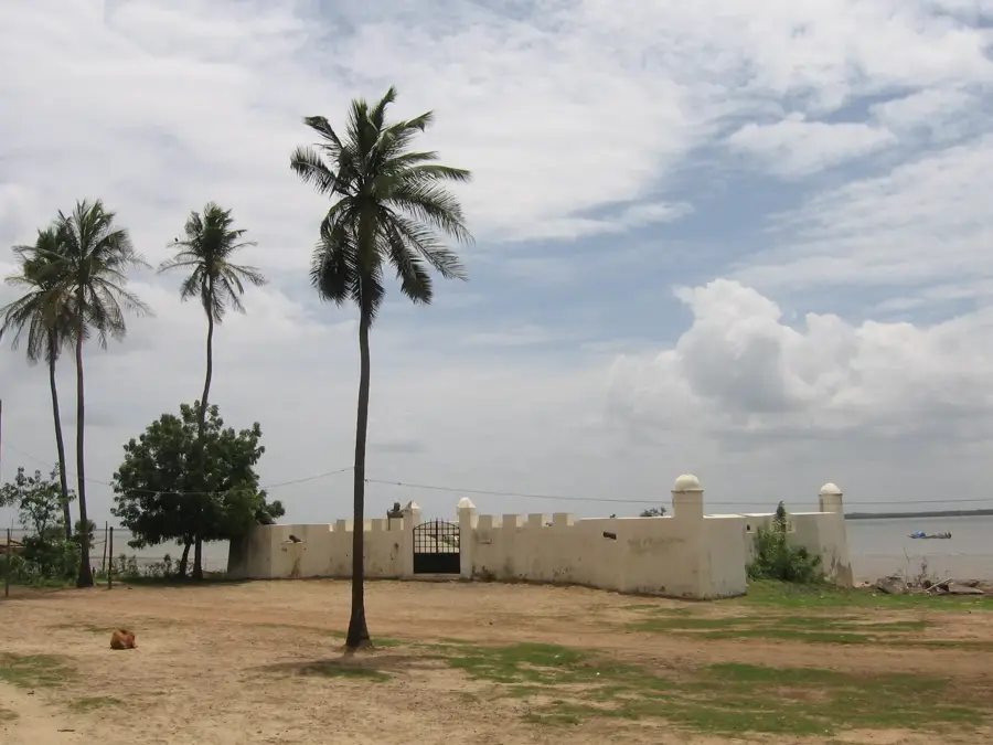
Can you visit the town of Cacheu?
Are there boat trips into the mangroves?
Cacheu Plain: where is it located?
Cacheu Plain: when is the best time to visit?
Cacheu Plain: why is it worth visiting?

Nearby cities

History & landmarks
Nature

More places