Plizio Visual Lab
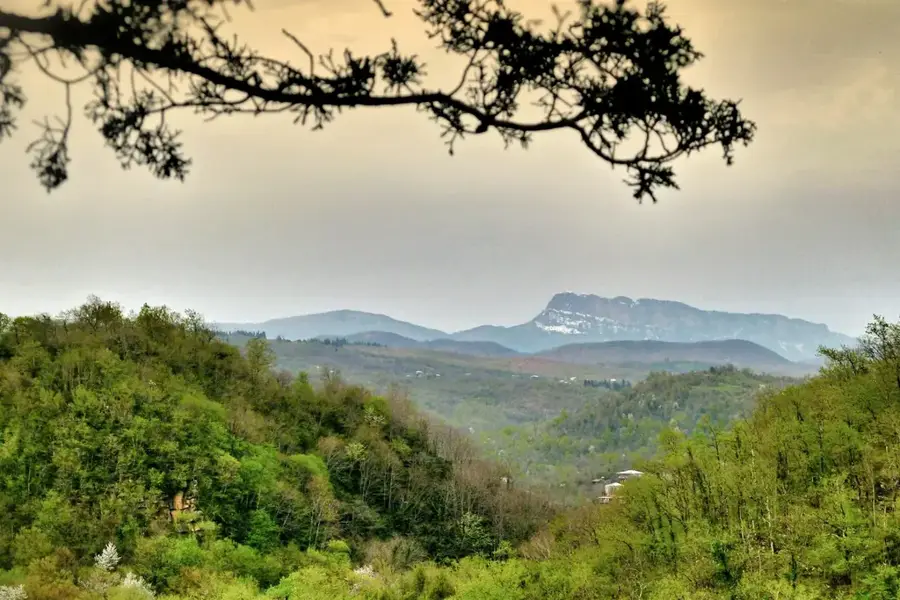
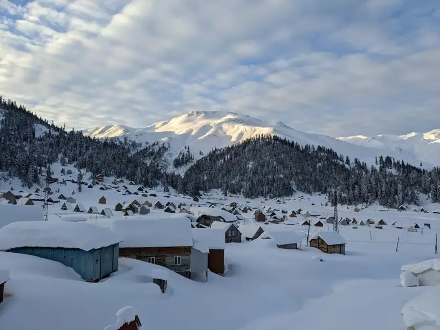
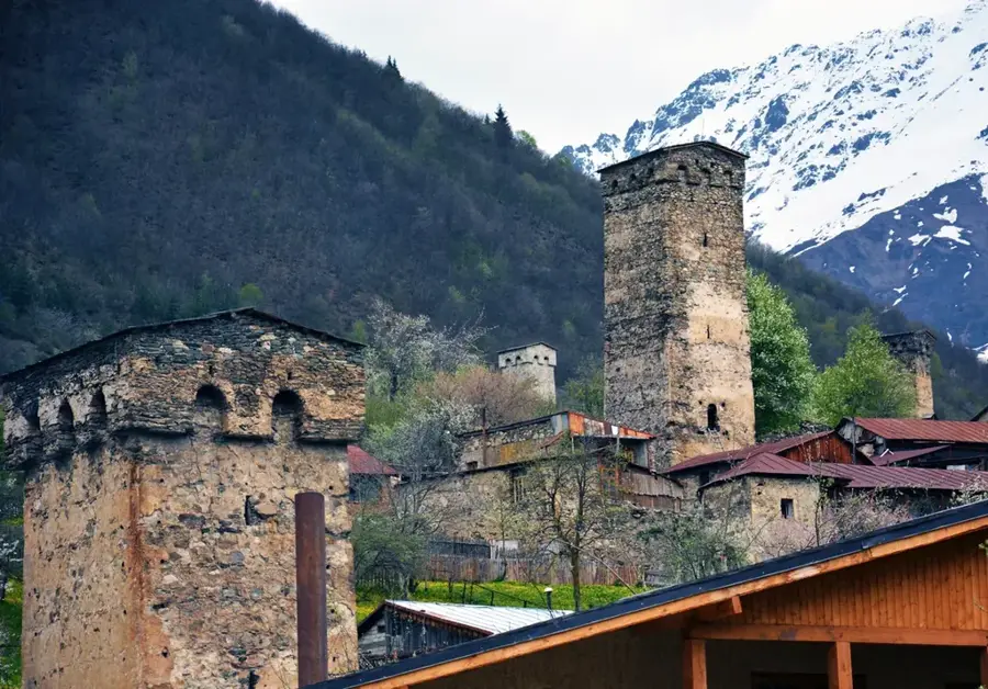
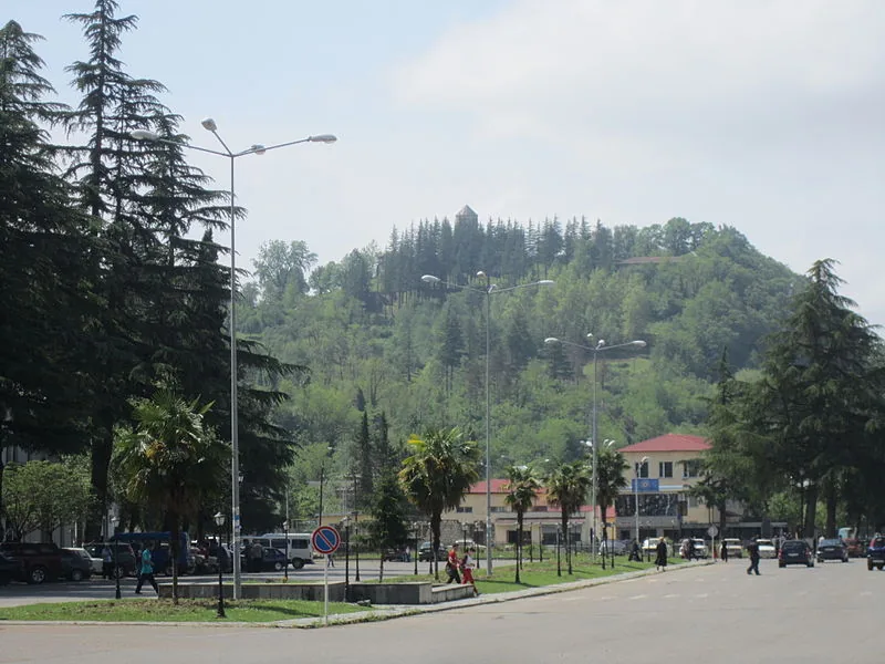
Khvamli Massif
Weather…
Water temperature…
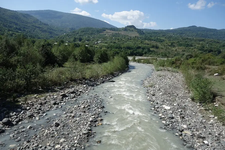
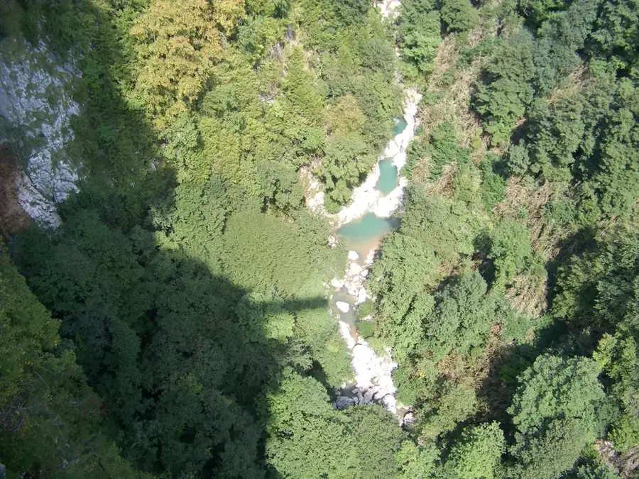
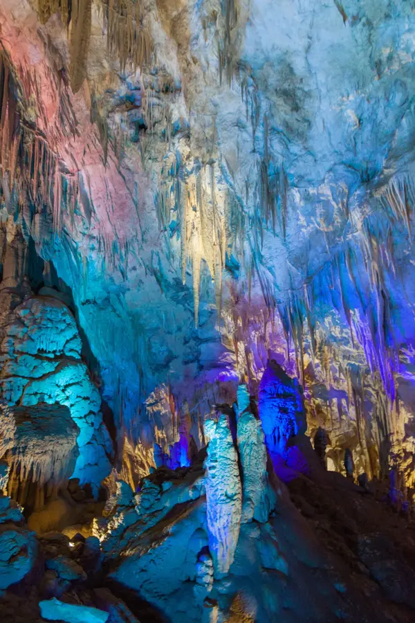
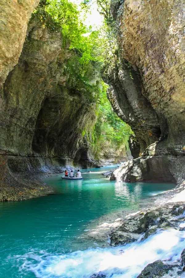
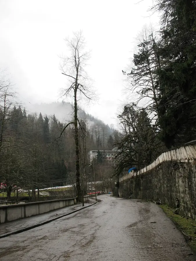
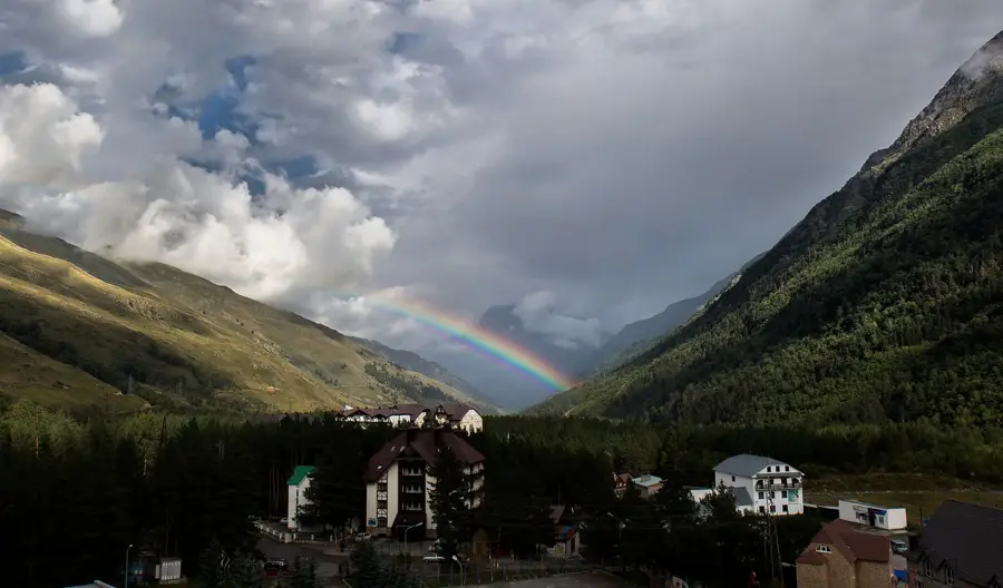
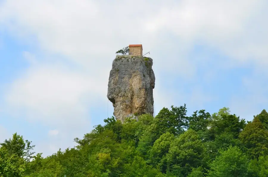
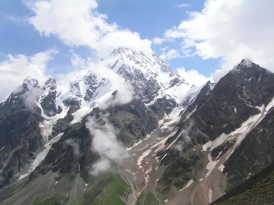
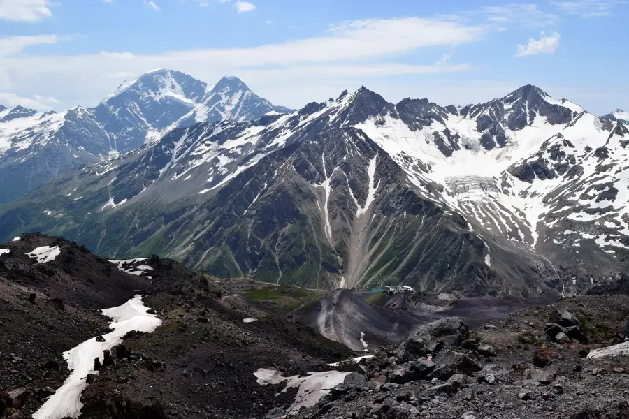
The Khvamli Massif is a legendary limestone plateau located in the Racha-Lechkhumi and Lower Svaneti region of western Georgia. Reaching a maximum elevation of 2002 meters, it rises steeply above the valleys of the Rioni and Tskhenistskali rivers. Geologically, the massif is characterized by prominent karst features, including numerous caves, deep gorges, and sheer vertical cliffs. Khvamli holds a central place in Georgian mythology and is frequently associated with the legend of Prometheus, who was said to be chained to these very rocks. Historically, the massif was viewed as an impregnable natural fortress where Georgian monarchs would hide state treasures and sacred relics during times of invasion. Its dense forests and isolated position have helped preserve a rich biodiversity, including rare plant species that thrive on its limestone outcrops. Archaeological surveys have uncovered traces of human activity from various eras, as well as ancient inscriptions within its cave systems. Today, Khvamli is a popular destination for hikers and naturalists seeking a unique blend of natural wonder and historical mystery.
- Location: Georgia
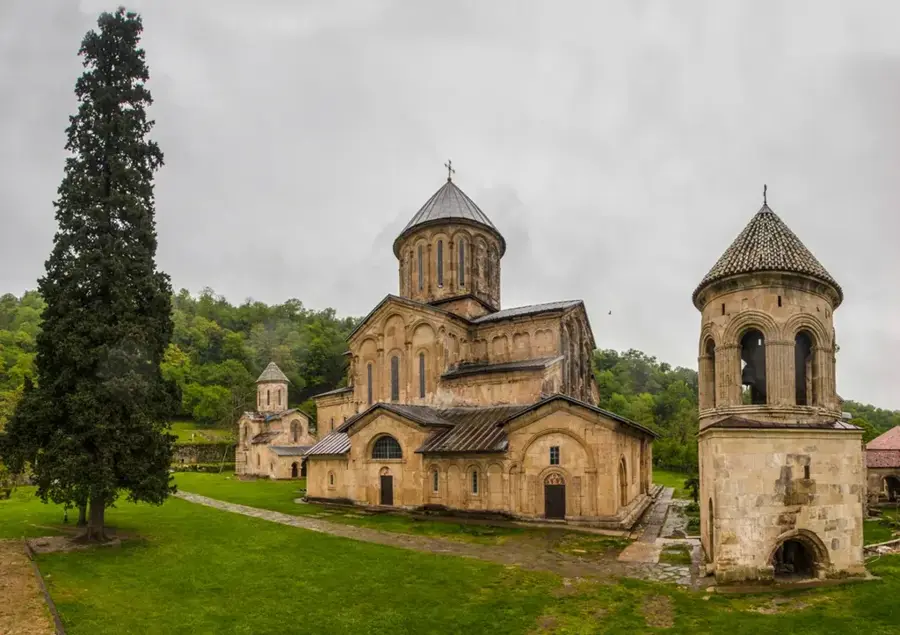
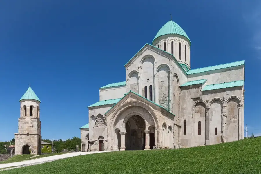
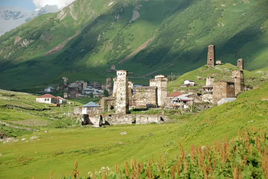
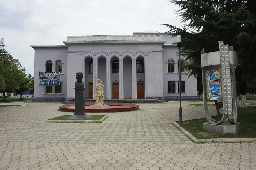
- Top sights: c`ixe-simagre "ucvashi" · Tekenteri karst well · Ghvirishi waterfall view
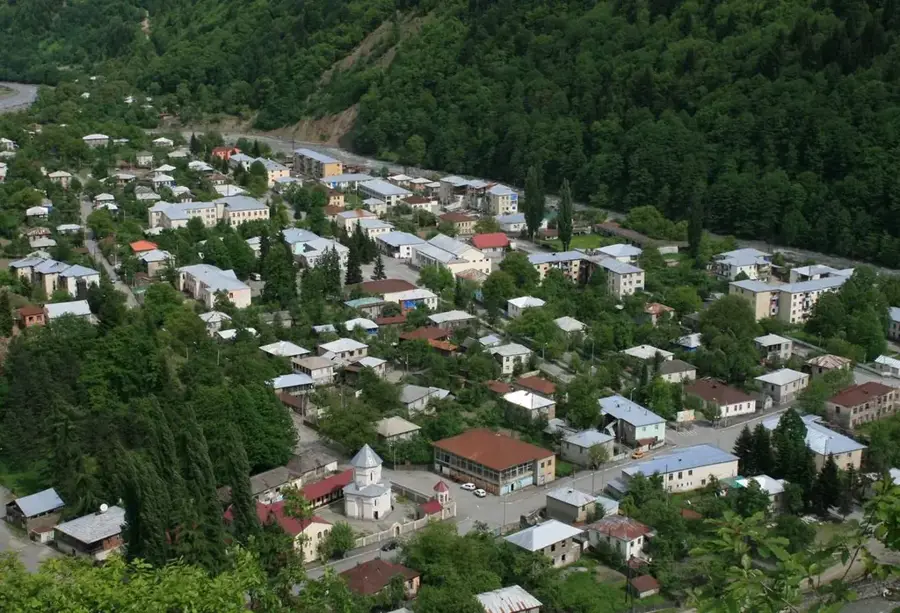
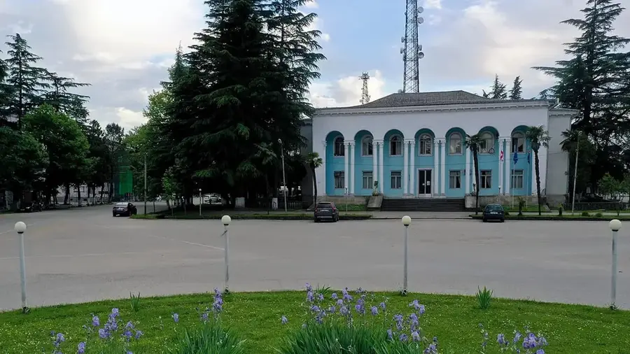
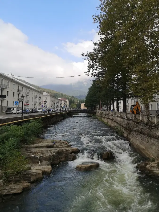
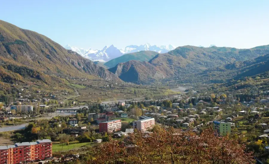
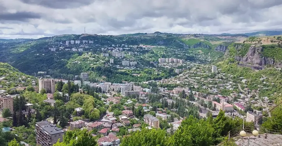
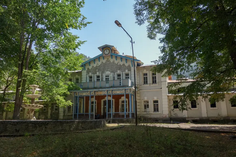
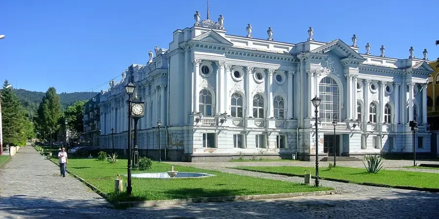
- Nearby: Lentekhi (16 km)
Best time to visit & climate
The most pleasant time to visit is Jun–Aug.
| Jan | Feb | Mar | Apr | May | Jun | Jul | Aug | Sep | Oct | Nov | Dec | |
|---|---|---|---|---|---|---|---|---|---|---|---|---|
| Avg °C | 0 | 1 | 5 | 10 | 15 | 20 | 23 | 24 | 19 | 14 | 7 | 2 |
| Rain mm | 96 | 80 | 105 | 73 | 69 | 77 | 68 | 64 | 103 | 112 | 111 | 102 |
📋 Practical info
Geography
Facts
- The maximum elevation of the Khvamli Massif is 2002 meters.
- It is primarily composed of Cretaceous limestone.
- Georgian epics cite it as a hiding place for royal treasures.
- The massif is famous for its deep vertical karst shafts.
- It is mythologically linked to the legends of Prometheus and the Argonauts.
- The plateau offers a panoramic view over the entire Colchis lowland.
Explore nearby
Notable places around
Route planner — Car & Motorhome
Where do you start? We build the route here, with stops and country notes along the way.
© OpenStreetMap contributors · OpenRouteService
Sights in the town Khvamli Massif (9)
Sights nearby
Frequently asked questions
What is the Khvamli Massif?
What legends are associated with the massif?
Can you hike on the massif?
Are there caves in the Khvamli Massif?
How high is the highest point?
Khvamli Massif: where is it located?
Khvamli Massif: what is there to see?
Khvamli Massif: when is the best time to visit?
Khvamli Massif: why is it worth visiting?

Nearby cities
History & landmarks
Nature
More places