Plizio Visual Lab
Riisitunturi
Weather…
Water temperature…
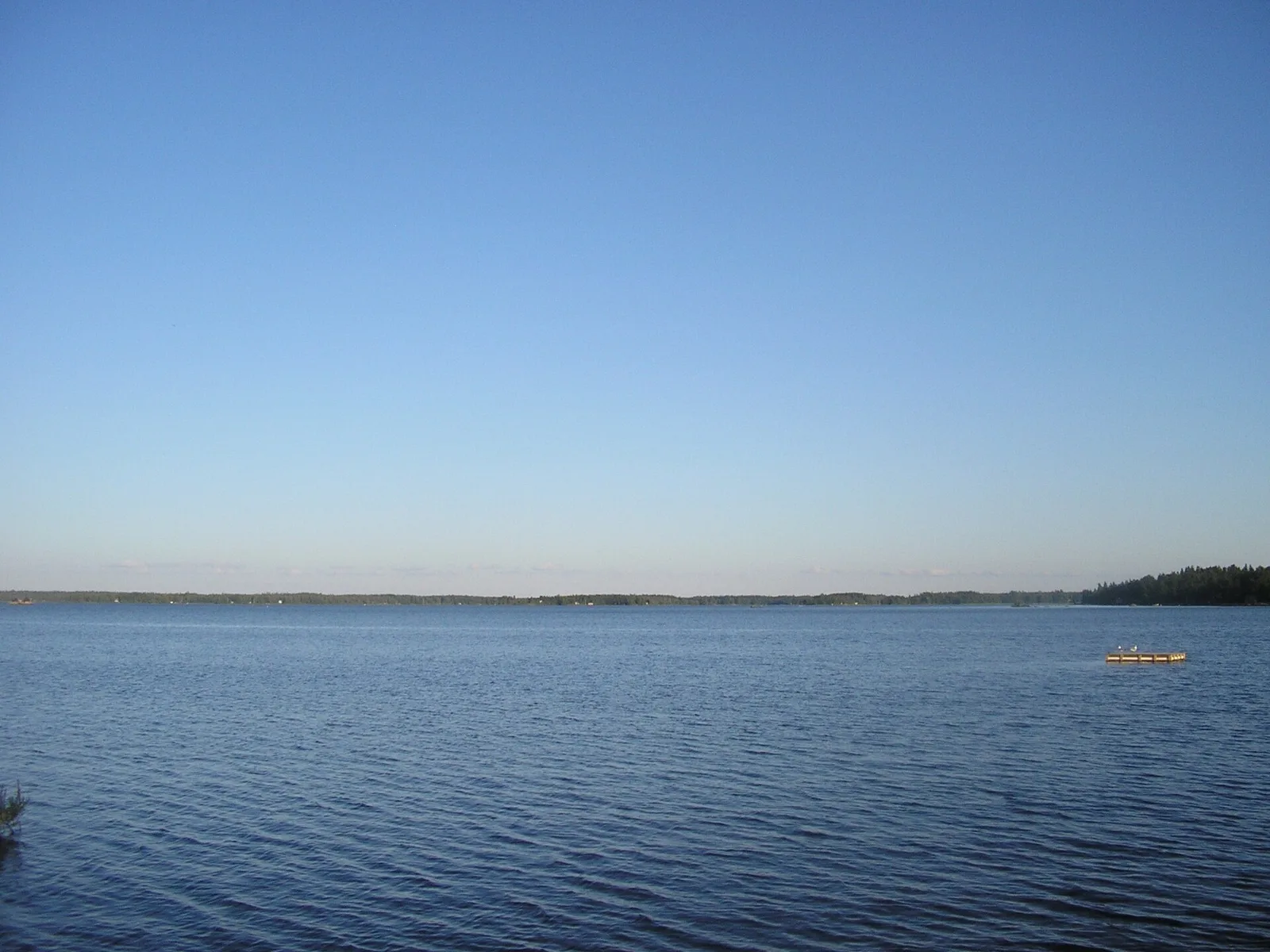
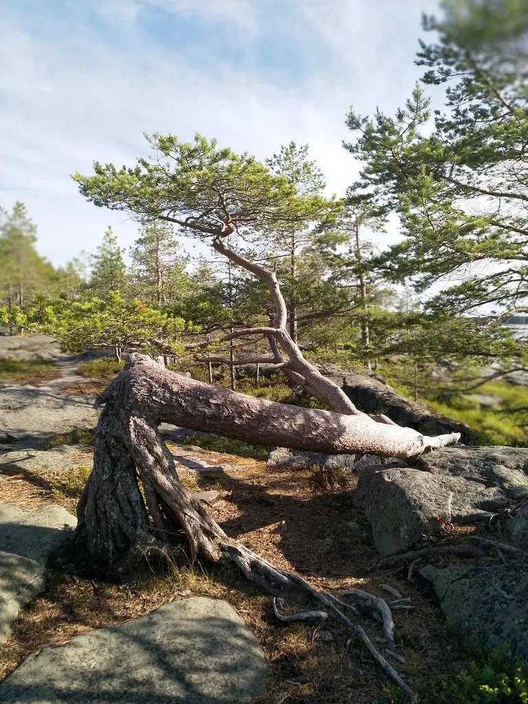
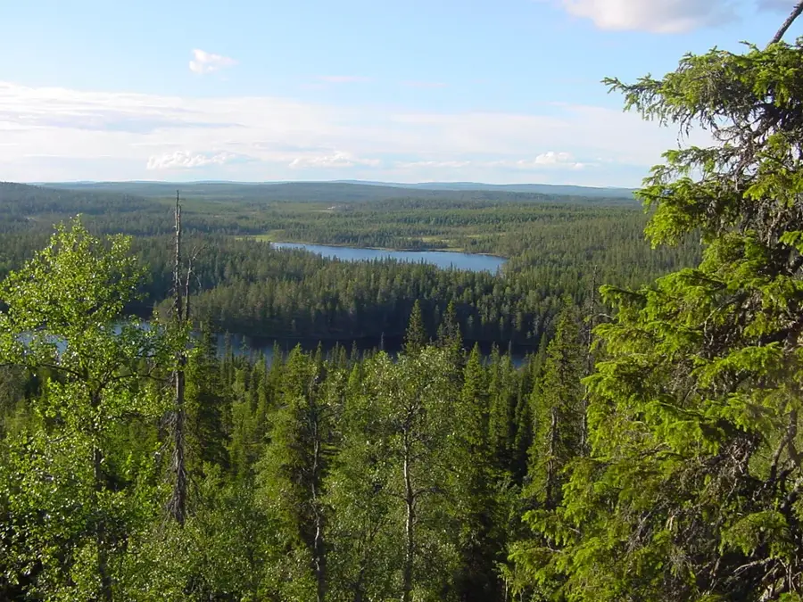
Riisitunturi is a prominent fell ridge in southeastern Lapland, near the municipality of Posio, and forms the center of the national park of the same name. Standing at 465 meters, it features expansive views over the surrounding hill and lake landscape. The area is most famous for its heavy crown snow loads, known as Tykky formations, which transform spruce trees into bizarre white sculptures during winter. Geologically, Riisitunturi is noted for its slope bogs, which develop due to the humid climate and the inclination of the terrain. These bogs are ecologically valuable and host rare plant species of the boreal zone. The fell consists predominantly of ancient rock formations shaped by the last ice age. Hikers use well-marked trails to experience the untouched nature and silence of the Nordic wilderness. The climate is subarctic, with cool summers and very snowy winters, making the region a paradise for snowshoe hikers.
- Location: Finland
- Nearby: Posio (13 km)
Best time to visit & climate
The most pleasant time to visit is Jun–Aug.
| Jan | Feb | Mar | Apr | May | Jun | Jul | Aug | Sep | Oct | Nov | Dec | |
|---|---|---|---|---|---|---|---|---|---|---|---|---|
| Avg °C | -13 | -12 | -8 | -2 | 6 | 12 | 15 | 13 | 8 | 0 | -6 | -10 |
| Rain mm | 50 | 39 | 44 | 50 | 85 | 96 | 114 | 102 | 86 | 73 | 61 | 58 |
📋 Practical info
Geography
Facts
- The highest elevation of Riisitunturi is 465 meters.
- The national park was established in 1982.
- The protected area covers approximately 77 square kilometers.
- Up to 3000 kg of snow can rest on a single spruce tree in winter.
- The region hosts some of the rarest slope bogs in Europe.
- The average temperature in February is around -12 degrees Celsius.
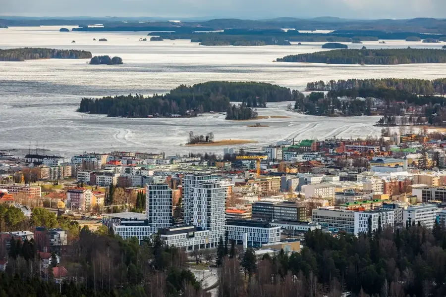
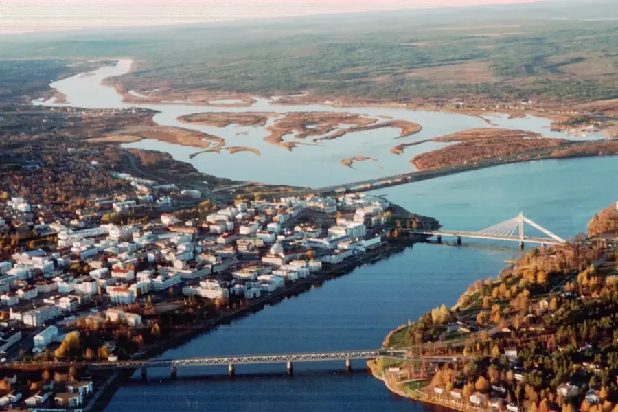
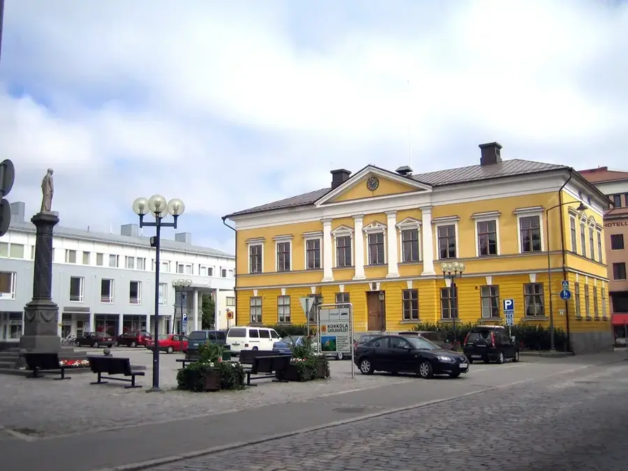
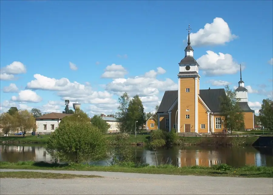
Explore nearby
Notable places around
Route planner — Car & Motorhome
Where do you start? We build the route here, with stops and country notes along the way.
© OpenStreetMap contributors · OpenRouteService
Sights nearby
Frequently asked questions
What is Riisitunturi famous for?
How do you reach the park?
Is camping allowed in the national park?
Is there a café there?
Are dogs allowed?
Riisitunturi: where is it located?
Riisitunturi: when is the best time to visit?
Riisitunturi: why is it worth visiting?

Nearby cities