Plizio Visual Lab
Valtavaara Hill
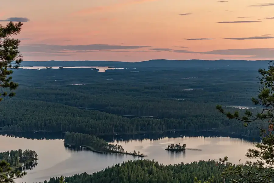
Valtavaara is a prominent elevation near Ruka in the municipality of Kuusamo and, at 492 meters above sea level, is the highest point in the region. The hill consists predominantly of hard quartzite that has successfully resisted glacial erosion. It is part of the Valtavaara-Pyhävaara nature reserve, known for its valuable old-growth forest ecosystems. The summit has an unparalleled panoramic view of the Ruka ski area, Lake Kitkajärvi, and far into Russia. Valtavaara is an important waypoint on the famous Karhunkierros hiking trail, which has its most demanding section here. In winter, the hill transforms into a fairytale snow landscape where trees almost completely disappear under the weight of frozen snow. The area is also a significant breeding ground for rare bird species such as the Red-flanked Bluetail. Geomorphologically, the hill features steep eastern slopes and gentler western flanks, typical of the tectonics in this area.
- Location: Finland
- Top sights: Valtavaaran luonnonsuojelualue · Konttainen
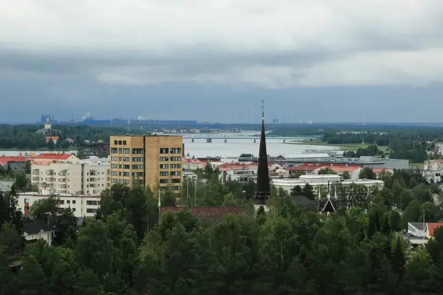
- Nearby: Ruka (4 km)
Best time to visit & climate
The most pleasant time to visit is Jun–Aug.
| Jan | Feb | Mar | Apr | May | Jun | Jul | Aug | Sep | Oct | Nov | Dec | |
|---|---|---|---|---|---|---|---|---|---|---|---|---|
| Avg °C | -13 | -12 | -8 | -2 | 6 | 12 | 15 | 13 | 8 | 0 | -6 | -10 |
| Rain mm | 49 | 37 | 43 | 49 | 85 | 98 | 116 | 106 | 83 | 71 | 58 | 55 |
📋 Practical info
Geography
Facts
- The summit height of Valtavaara is 492 meters above sea level.
- It is the highest point in the municipality of Kuusamo.
- The hill is part of the 82 km long Karhunkierros hiking trail.
- A small day-trip hut from the 1950s is located on the summit.
- Geologically, the formation consists of hundreds of millions of years old quartzite.
- The nature reserve was officially designated in 1988.
Explore nearby
Notable places around
Route planner — Car & Motorhome
Where do you start? We build the route here, with stops and country notes along the way.
© OpenStreetMap contributors · OpenRouteService
Sights in the town Valtavaara Hill (2)
Sights nearby
Frequently asked questions
How do you get to Valtavaara?
Is there a hut on the summit?
Is the trail suitable for children?
Which birds can be seen there?
Are snowshoes needed in winter?
Valtavaara Hill: where is it located?
Valtavaara Hill: what is there to see?
Valtavaara Hill: when is the best time to visit?
Valtavaara Hill: why is it worth visiting?

Nearby cities