Plizio Visual Lab
Pyhävaara
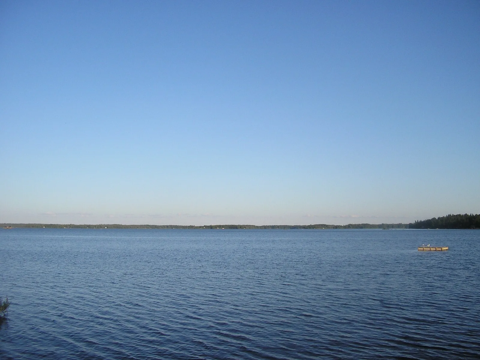
Pyhävaara is a prominent hill south of Ruka in Kuusamo, reaching an elevation of 460 meters. Its name translates to Holy Fell, pointing to its historical significance as a cult site for the indigenous Sami people. The mountain is part of a larger protected area known for its untouched primary forests, where some trees are over 300 years old. Geologically, Pyhävaara consists of resistant quartzite, dominating the landscape as a remnant of an ancient mountain range. Hiking trails lead through varied terrain, past steep cliffs and through dense coniferous forests to the summit. From the top, views over the gentle hill chains of the Kuusamo highlands and numerous lakes are offered. Pyhävaara is considered ecologically valuable as it provides habitat for many endangered moss and lichen species. In winter, the mountain is a quiet destination for snowshoe hikers, far from the hustle and bustle of the nearby Ruka ski resort. The spiritual atmosphere of the place is still palpable today, making it a special cultural monument of the region.
- Location: Finland
- Nearby: Kuusamo (20 km)
Best time to visit & climate
The most pleasant time to visit is Jun–Aug.
| Jan | Feb | Mar | Apr | May | Jun | Jul | Aug | Sep | Oct | Nov | Dec | |
|---|---|---|---|---|---|---|---|---|---|---|---|---|
| Avg °C | -13 | -12 | -8 | -2 | 6 | 12 | 15 | 13 | 8 | 0 | -6 | -10 |
| Rain mm | 49 | 37 | 43 | 49 | 85 | 98 | 116 | 106 | 83 | 71 | 58 | 55 |
📋 Practical info
Geography
Facts
- The absolute height of Pyhävaara is 460 meters.
- The name originates from the Sami language and means Holy Place.
- Some pine trees in the area are proven to be over 300 years old.
- The fell belongs to the Valtavaara-Pyhävaara nature reserve.
- The Pyhän Jyssäys is a popular 6 km hiking trail to the summit.
- The rocks show traces of seidas, ancient Sami sacrificial sites.
Explore nearby
Notable places around
Route planner — Car & Motorhome
Where do you start? We build the route here, with stops and country notes along the way.
© OpenStreetMap contributors · OpenRouteService
Sights in the town Pyhävaara (1)
Sights nearby
Frequently asked questions
How do you reach Pyhävaara?
Is the summit forested?
Are there resting spots?
Is mountain biking allowed?
How high is the hill?
Pyhävaara: where is it located?
Pyhävaara: when is the best time to visit?
Pyhävaara: why is it worth visiting?

Nearby cities