Plizio Visual Lab
Bahir Dar
ℹ️Practical info — Bahir Dar
▾
🌤 Weather — 5 days
📍 Nearby
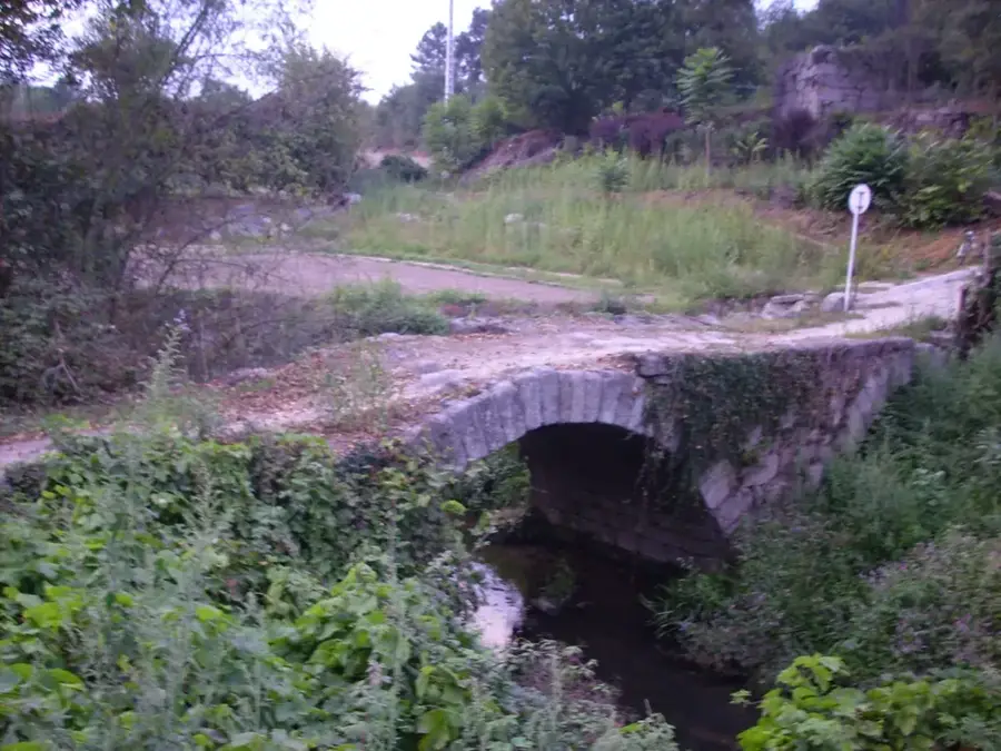
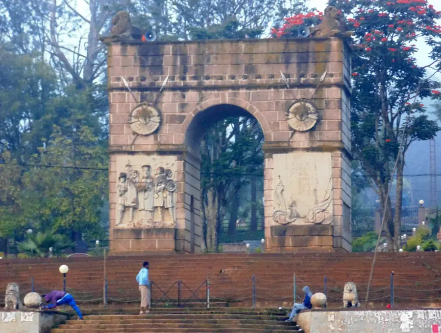
Sights nearby
💡 Tips
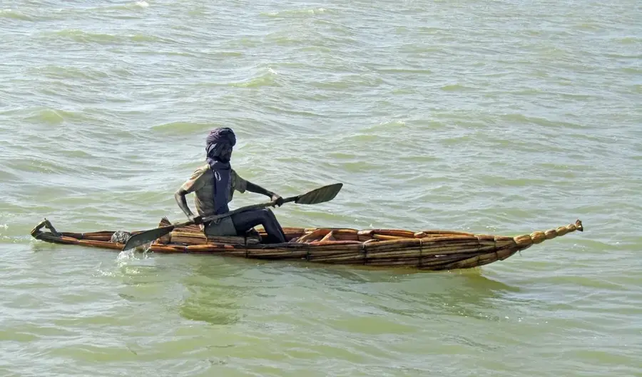
- Hire a local boat to visit the historic island monasteries on Lake Tana; combine trips with other travelers to save money on fare.
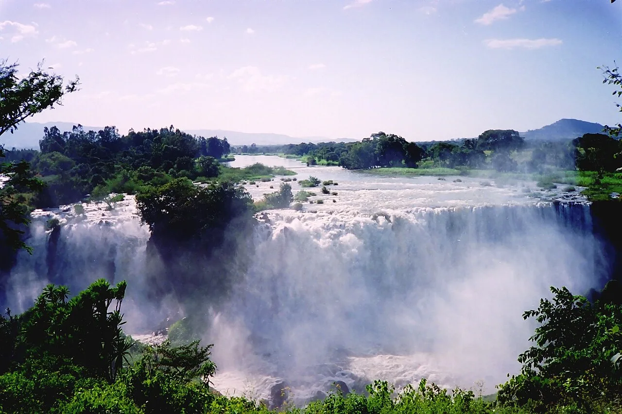
- Blue Nile Falls (Tis Abay) are best visited just after the rainy season (September-October) for maximum impressive water flow.
- When visiting the monasteries, women should cover their hair, and everyone is strictly required to remove their shoes before entering.
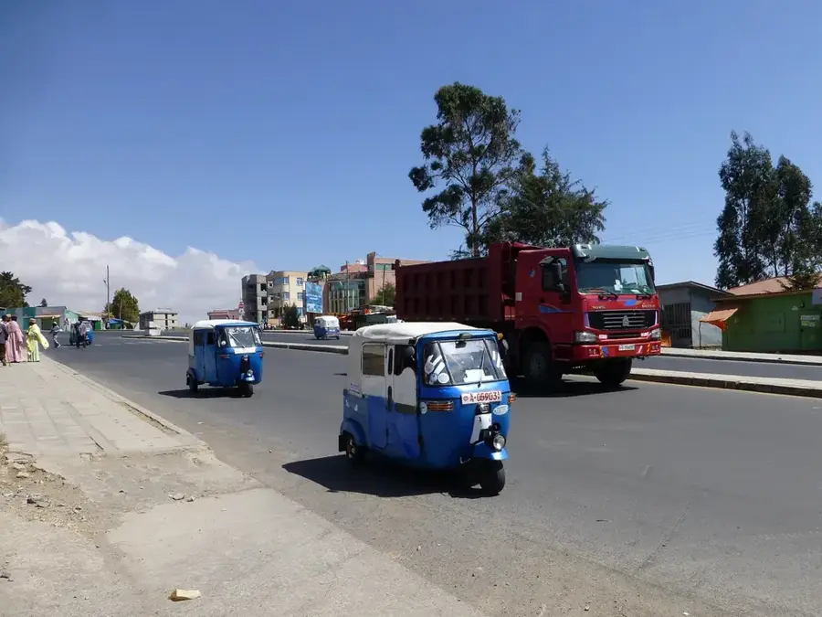
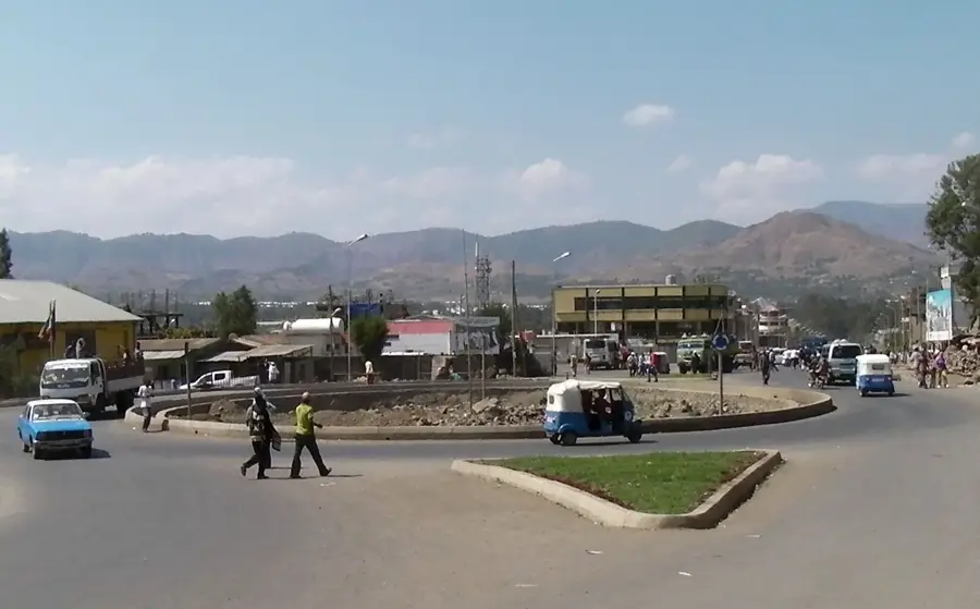
- Bajajas (tuk-tuks) are the easiest way to get around town; always negotiate the fare clearly before getting inside.
🍽 Food
Often served crispy with traditional injera or bread, easily available at restaurants along the lakefront.
A highly flavorful chickpea stew, a staple vegan dish found in absolutely every local traditional restaurant.
Take the time to participate in a traditional, slow-brewed coffee ceremony at a local cafe.
🛍 Shopping · 🧘 Quiet spots
Explore the massive daily market for rich spices, traditional clothes (gabbi), and handmade woven baskets.
Buy beautiful, authentic hand-woven fabrics directly from the local artisans working in the market area.
Find a quiet cafe right near the water to relax, sip a drink, and watch the pelicans glide by.
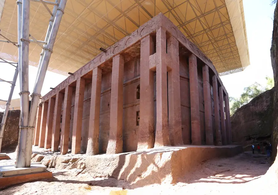
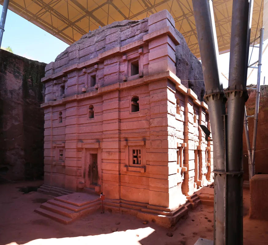
A fascinating, much less-visited historic site near the city offering a very quiet retreat.
Water temperature…
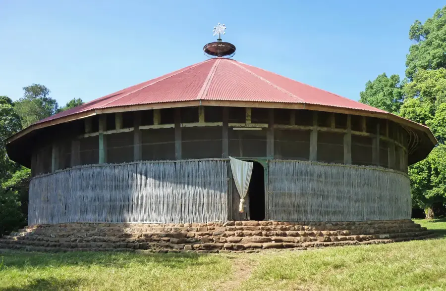
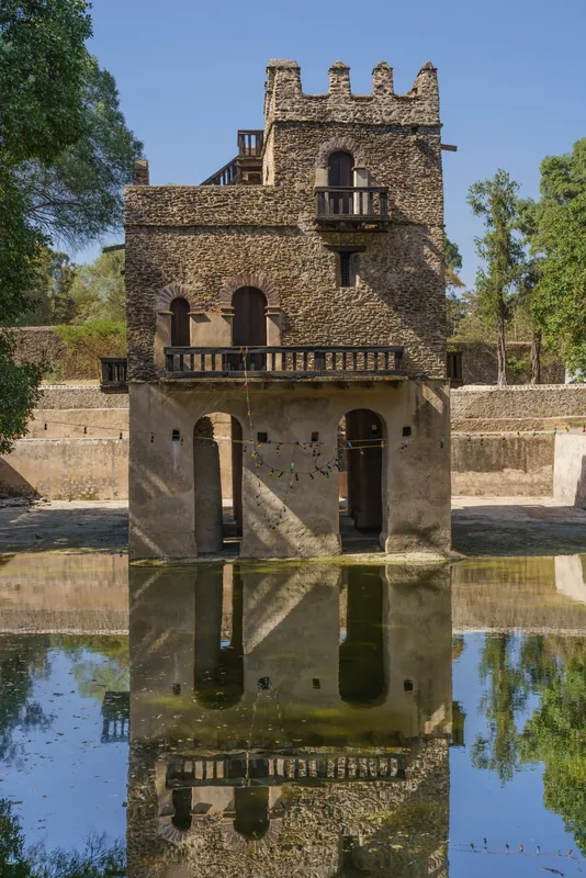
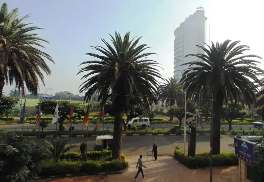
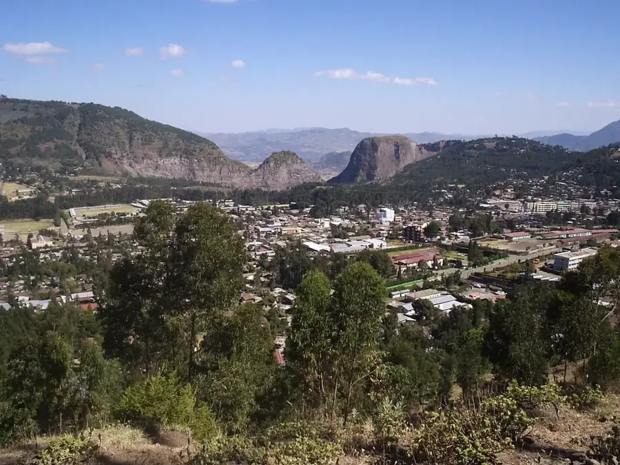
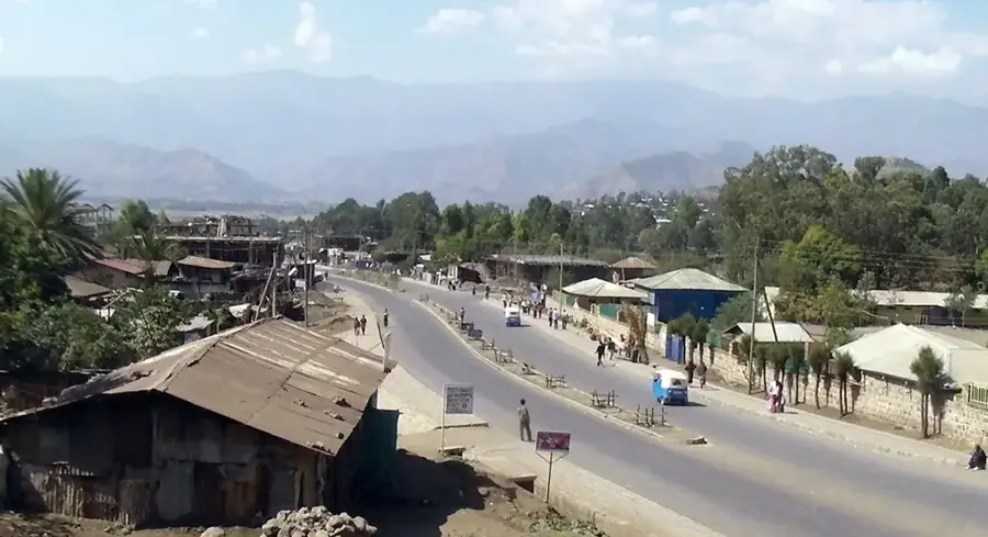
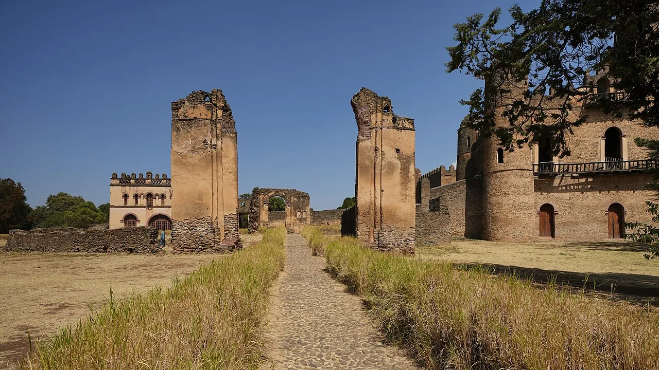
Bahir Dar, the capital of the Amhara Region, is frequently cited as one of the most beautiful cities in Ethiopia. Located on the southern shores of Lake Tana, the country's largest lake and the source of the Blue Nile, the city is famous for its clean, wide avenues lined with palm trees and tropical flowers. Its serene environment and commitment to urban development earned it the UNESCO Cities for Peace Prize. Bahir Dar serves as the primary base for travelers visiting the Blue Nile Falls, locally known as Tis Issat, which translates to 'Smoke of Fire' due to the immense mist generated by the falling water. The city is a first-rate blend of natural beauty and profound historical significance. The geography of Bahir Dar is intrinsically linked to the water. Lake Tana's 37 islands are home to ancient Ethiopian Orthodox monasteries, some dating back to the 14th century, which house priceless religious art and imperial regalia. Navigating the lake in traditional papyrus boats called 'tankwas' is a timeless experience that contrasts with the city's modernizing edge. The climate is mild and temperate, supporting a lush environment that is increasingly utilized for commercial floriculture and horticulture. The city’s position as a major education hub is anchored by Bahir Dar University, which draws students from across the nation to its diverse faculties. Economically, Bahir Dar is a major center for the textile industry, trade, and tourism. The surrounding fertile plains produce a variety of crops, including oilseeds, grains, and coffee, which are processed in the city's growing industrial zones. Transportation infrastructure, including a modern airport and improved road networks to Gondar and Addis Ababa, has solidified its status as a regional economic powerhouse. Culturally, the city is a bastion of Amhara heritage, known for its lively music, traditional dance, and distinctive cuisine. Whether exploring the mystical island monasteries or enjoying the sunset over the Blue Nile, Bahir Dar features a unique window into the soul of Ethiopia's natural and spiritual history.
- Location: Ethiopia
- Top sights: Diaspora · Mulualem Cultural Center · Hyper Cinema
- Nearby: Gondar (89 km)
- Population: ~350.000 (2023)
Best time to visit & climate
The most pleasant time to visit is Jan–Mar.
| Jan | Feb | Mar | Apr | May | Jun | Jul | Aug | Sep | Oct | Nov | Dec | |
|---|---|---|---|---|---|---|---|---|---|---|---|---|
| Avg °C | 19 | 21 | 22 | 22 | 22 | 20 | 17 | 17 | 18 | 18 | 18 | 18 |
| Rain mm | 4 | 10 | 29 | 59 | 135 | 197 | 394 | 370 | 200 | 72 | 28 | 10 |
Geography
Facts
- Bahir Dar is located on the southern tip of Lake Tana, Ethiopia's largest lake.
- The city won the UNESCO Cities for Peace Prize in 2002.
- The Blue Nile Falls, located 30km away, are the second largest in Africa.
- Lake Tana contains 37 islands, many of which house ancient monasteries.
- The city sits at an elevation of 1,800 meters (5,905 feet).
- It is a key industrial hub, particularly known for its textile factories.
- Bahir Dar University is a leading institution for water resources research.
- The city's climate is tropical, with a distinct rainy season from June to September.
Explore nearby
Notable places around
Route planner — Car & Motorhome
Where do you start? We build the route here, with stops and country notes along the way.
© OpenStreetMap contributors · OpenRouteService
Sights in the town Bahir Dar (9)
Frequently asked questions
What is Bahir Dar known for?
How do I get to Bahir Dar?
How long should I stay in Bahir Dar?
What are the highlights in Bahir Dar?
What is the best time to visit Bahir Dar?
Bahir Dar: where is it located?
Bahir Dar: what is there to see?
Bahir Dar: when is the best time to visit?
Bahir Dar: why is it worth visiting?

Nearby cities

History & landmarks
Nature
More places