Plizio Visual Lab
Mount Guna

Weather…
Water temperature…
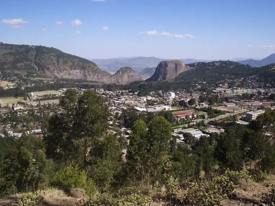
Mount Guna is a prominent mountain in northern Ethiopia which, with an elevation of 4,120 meters, dominates the landscape of the Amhara Region. Located northeast of Debre Tabor, it is a significant part of the Ethiopian highlands. Geologically, it is an ancient volcanic massif whose flanks are deeply fragmented by erosion, feeding numerous streams and rivers. One of the most important is the Rib River, which flows into Lake Tana, thus playing a crucial role in Ethiopia's hydrological system. The peak region is characterized by Afro-alpine vegetation, where giant lobelias and alpine grasses thrive under extreme climatic conditions. The mountain slopes are of great importance for agriculture, with the local population growing barley and wheat at remarkable altitudes. Geographically, Mount Guna forms an important barrier for rainfall, leading to a moist microclimate in the surrounding valleys. Hikers appreciate the mountain for its relative solitude and vast panoramic views that, on clear days, can reach as far as the Simien Mountains. Conservation efforts focus on protecting the unique alpine flora from progressive agricultural use.
Best time to visit & climate
The most pleasant time to visit is Feb–Apr.
| Jan | Feb | Mar | Apr | May | Jun | Jul | Aug | Sep | Oct | Nov | Dec | |
|---|---|---|---|---|---|---|---|---|---|---|---|---|
| Avg °C | 18 | 20 | 20 | 21 | 21 | 20 | 17 | 17 | 17 | 17 | 17 | 17 |
| Rain mm | 6 | 12 | 30 | 49 | 64 | 81 | 297 | 286 | 116 | 39 | 17 | 8 |
📋 Practical info
Geography
Facts
- The official peak elevation is 4,120 meters.
- The mountain is located in the South Gondar Zone of the Amhara Region.
- It is the source area for the Rib River and the Gumara River.
- Significant Afro-alpine ecosystem with endangered plant species.
- Important site for the conservation of the Ethiopian wolf.
- Geologically, it is a Tertiary shield volcano.
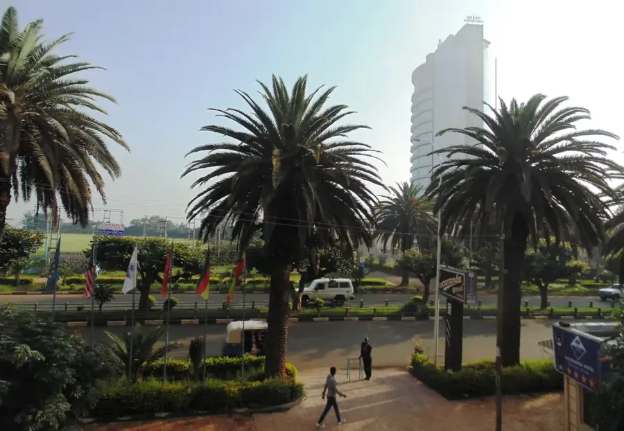
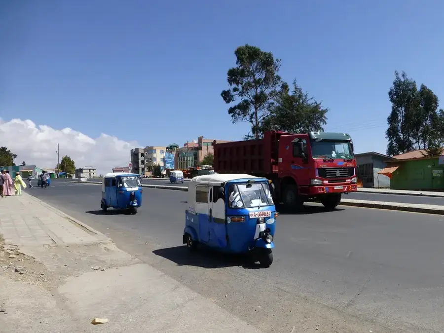
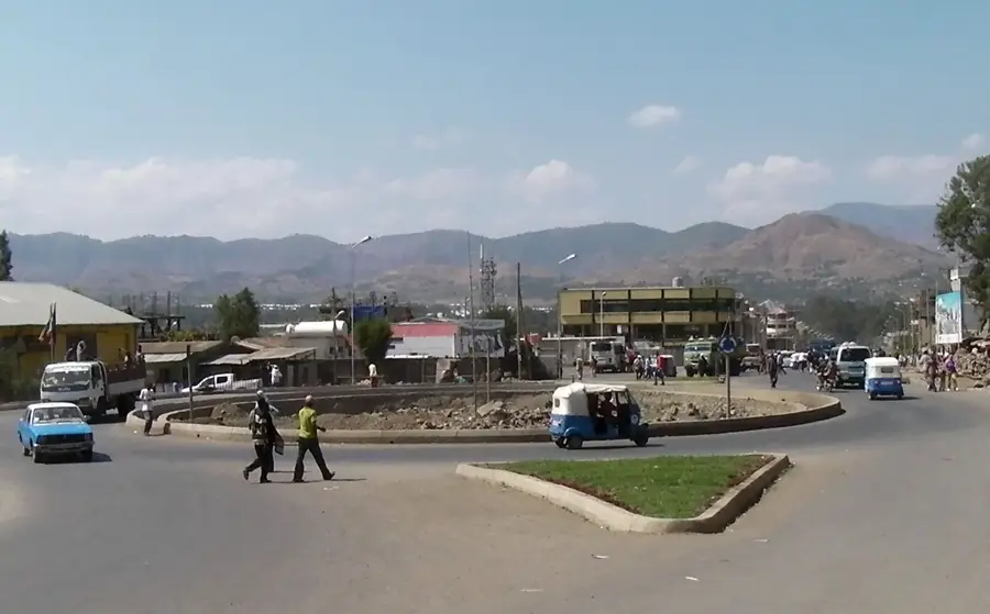
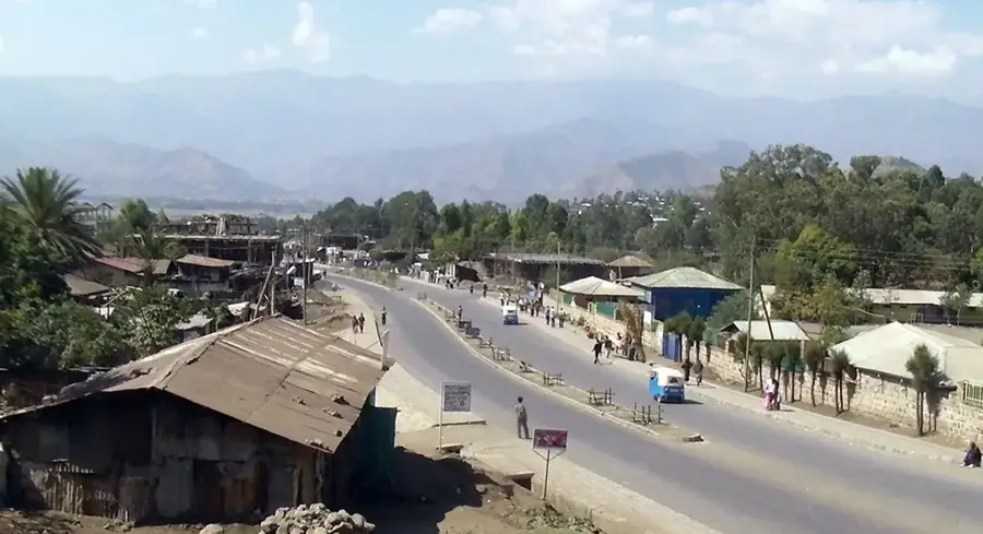
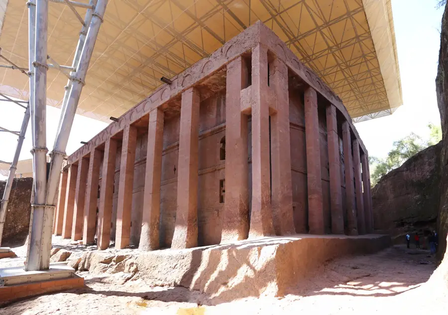
Explore nearby
Notable places around
Route planner — Car & Motorhome
Where do you start? We build the route here, with stops and country notes along the way.
© OpenStreetMap contributors · OpenRouteService
Sights nearby
Frequently asked questions
What kind of landscape awaits me at Mount Guna?
Is Mount Guna a national park?
Can you see rare birds there?
How is vehicle access?
Are there hiking maps for Mount Guna?
Mount Guna: where is it located?
Mount Guna: when is the best time to visit?
Mount Guna: why is it worth visiting?

Nearby cities
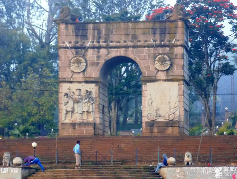

History & landmarks
Nature
More places