Plizio Visual Lab
Mount Choke

Weather…
Water temperature…
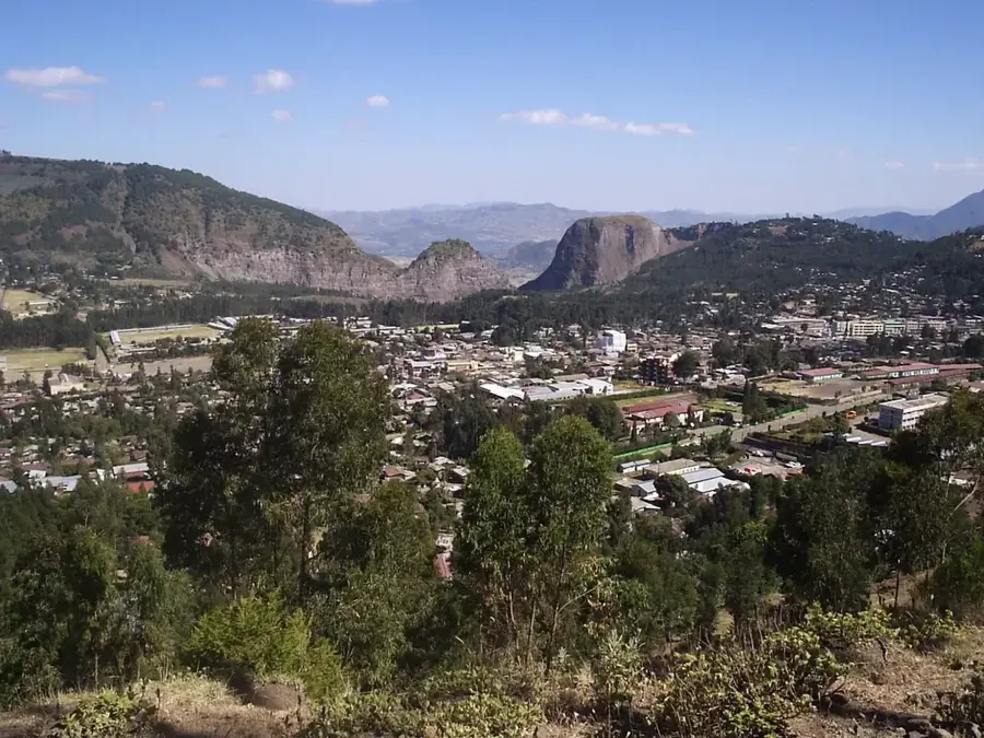
Mount Choke is a massive mountain range in the center of the Ethiopian highlands, rising to an elevation of 4,100 meters. Located in the northwestern part of the country in the Amhara region, it is known as Ethiopia's 'water tower' because countless tributaries of the Blue Nile originate here. The relief is characterized by vast Afro-alpine plateaus and deeply incised gorges that form a unique ecosystem. Despite its enormous height, the mountain is not glaciated but is dominated by the harsh climate of the Afro-alpine zone with frequent night frosts. The vegetation is adapted to these conditions and includes giant lobelias as well as extensive grasslands that serve as important grazing areas for the local population. Geologically, Mount Choke is an extinct volcano from the Tertiary period, whose soft basalt domes have been rounded by erosion over millions of years. Due to its ecological sensitivity, the mountain is a focus for conservation projects trying to combat overgrazing and soil erosion. For hikers, the Choke massif features an untouched wilderness away from the well-known tourist paths, characterized by deep silence and almost infinite expanse.
- Location: Ethiopia
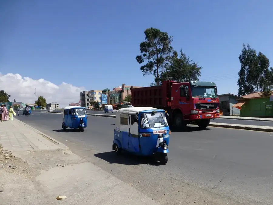
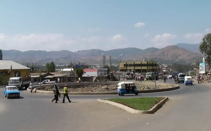
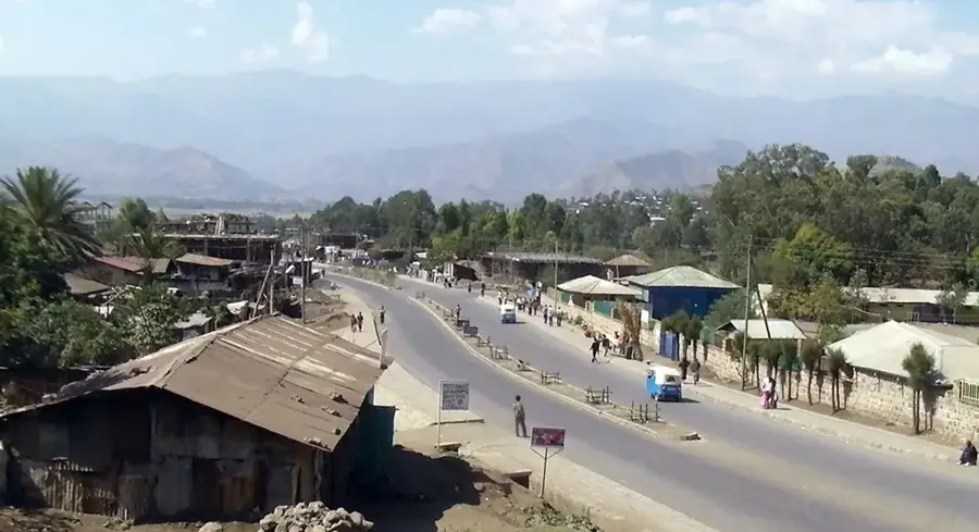
- Nearby: Debre Markos (33 km)
Best time to visit & climate
The most pleasant time to visit is Jan–Mar.
| Jan | Feb | Mar | Apr | May | Jun | Jul | Aug | Sep | Oct | Nov | Dec | |
|---|---|---|---|---|---|---|---|---|---|---|---|---|
| Avg °C | 17 | 18 | 19 | 19 | 20 | 18 | 16 | 16 | 16 | 15 | 15 | 15 |
| Rain mm | 7 | 18 | 44 | 73 | 86 | 95 | 295 | 315 | 173 | 61 | 21 | 12 |
📋 Practical info
Geography
Facts
- The summit reaches an elevation of 4,100 meters.
- The mountain is the most important water source for the Blue Nile.
- It features nine peaks that are over 3,500 meters high.
- The Afro-alpine zone is dominated by giant lobelias.
- No permanent glaciation despite its tropical high-altitude location.
- The massif is of volcanic origin from the Tertiary period.
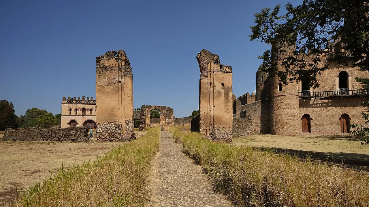
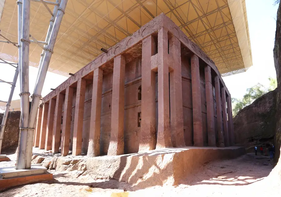
Explore nearby
Notable places around
Route planner — Car & Motorhome
Where do you start? We build the route here, with stops and country notes along the way.
© OpenStreetMap contributors · OpenRouteService
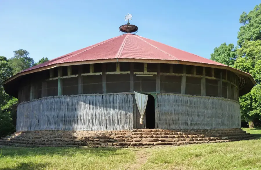
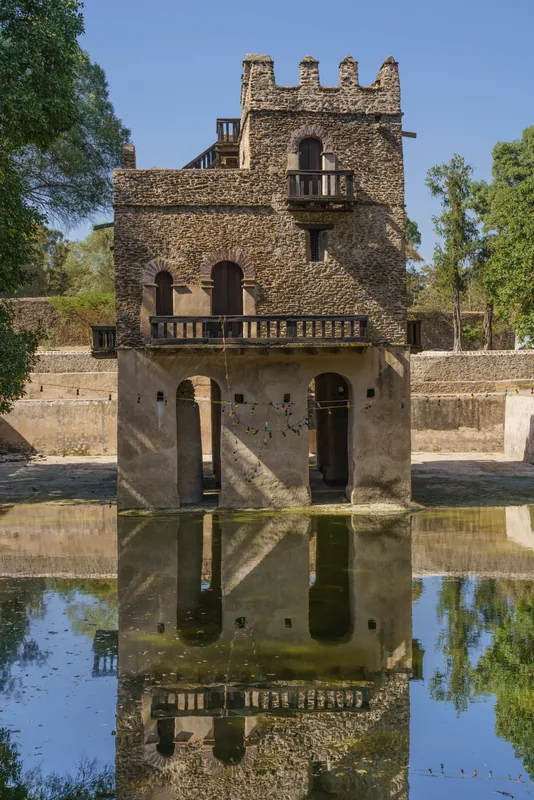
Sights nearby
Frequently asked questions
What is the significance of Mount Choke for water?
How high is Mount Choke?
Is there frost or snow there?
Can you travel there in an ecologically sustainable way?
What clothing do I need for a hike?
Mount Choke: where is it located?
Mount Choke: when is the best time to visit?
Mount Choke: why is it worth visiting?

Nearby cities

History & landmarks
Nature
More places