Plizio Visual Lab
Rio Campo

Weather…
Water temperature…
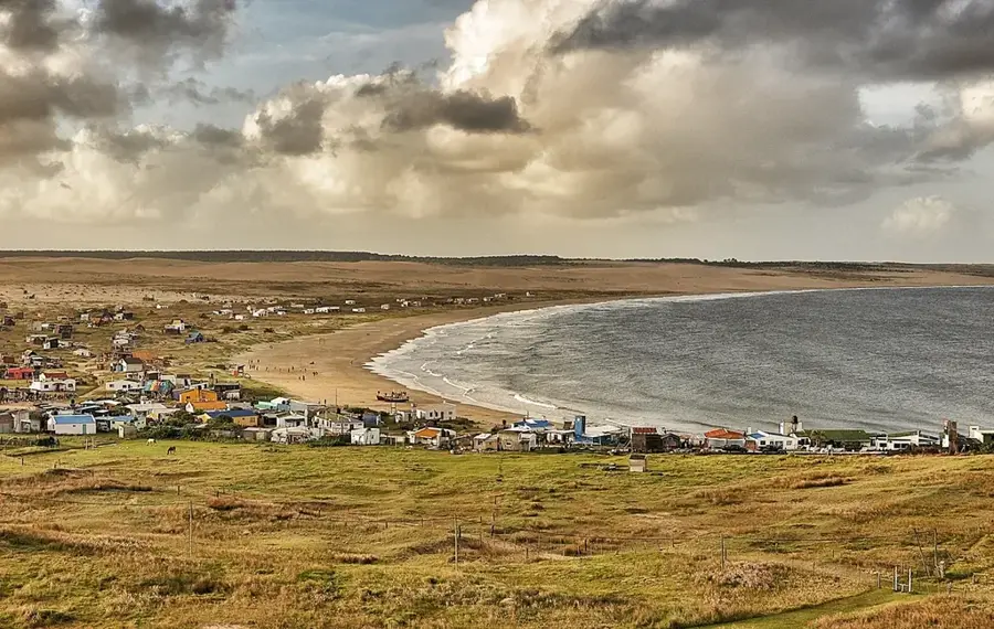
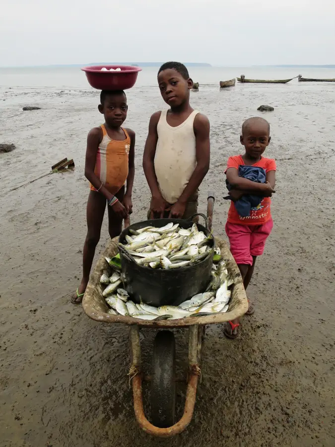
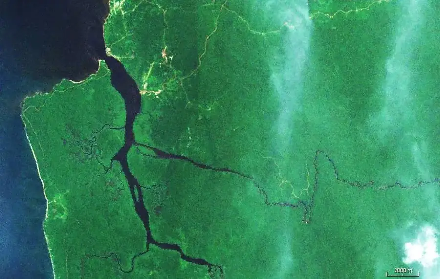
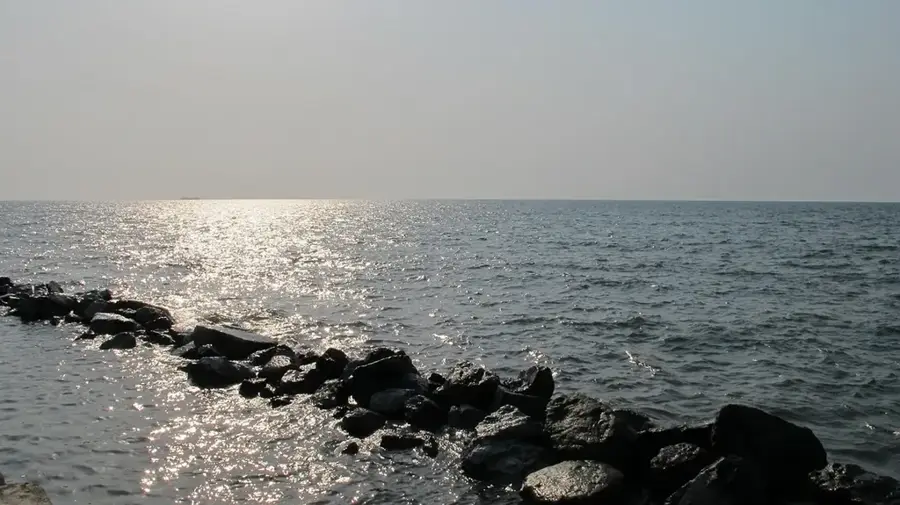
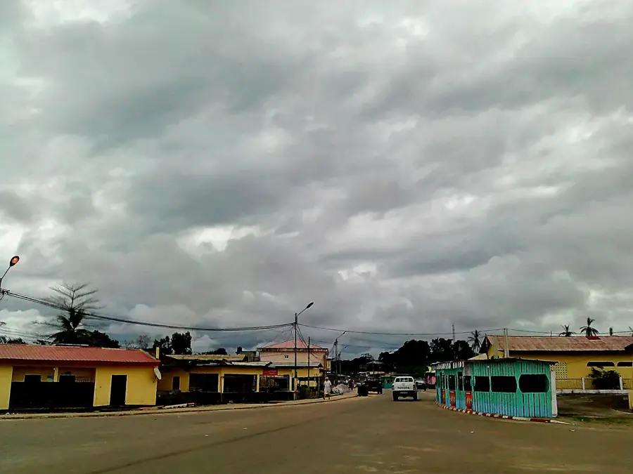
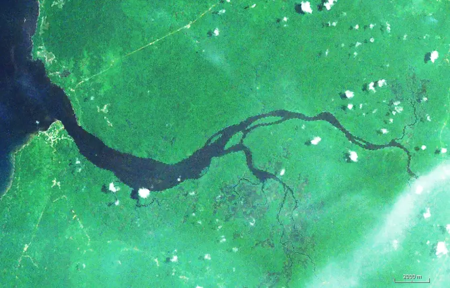
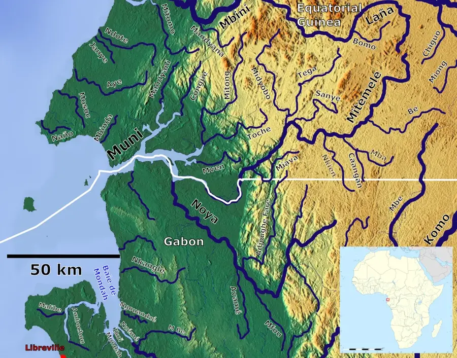
Rio Campo is a significant border river and estuary located at the northernmost point of mainland Equatorial Guinea. Serving as a natural boundary with Cameroon, the river is known for its wide mouth where it meets the Atlantic Ocean, creating a complex and productive wetland ecosystem. The area is defined by its extensive mangrove forests and sandy islands, which provide essential habitats for sea turtles and various water bird species. Local communities along the Rio Campo depend heavily on artisanal fishing and the harvest of forest products. The river's estuary is a focal point for regional environmental conservation, aimed at protecting its unique brackish water biodiversity and fragile coastal habitats. Curriculum: Geography K6, Ecology K8.
- Location: Equatorial Guinea
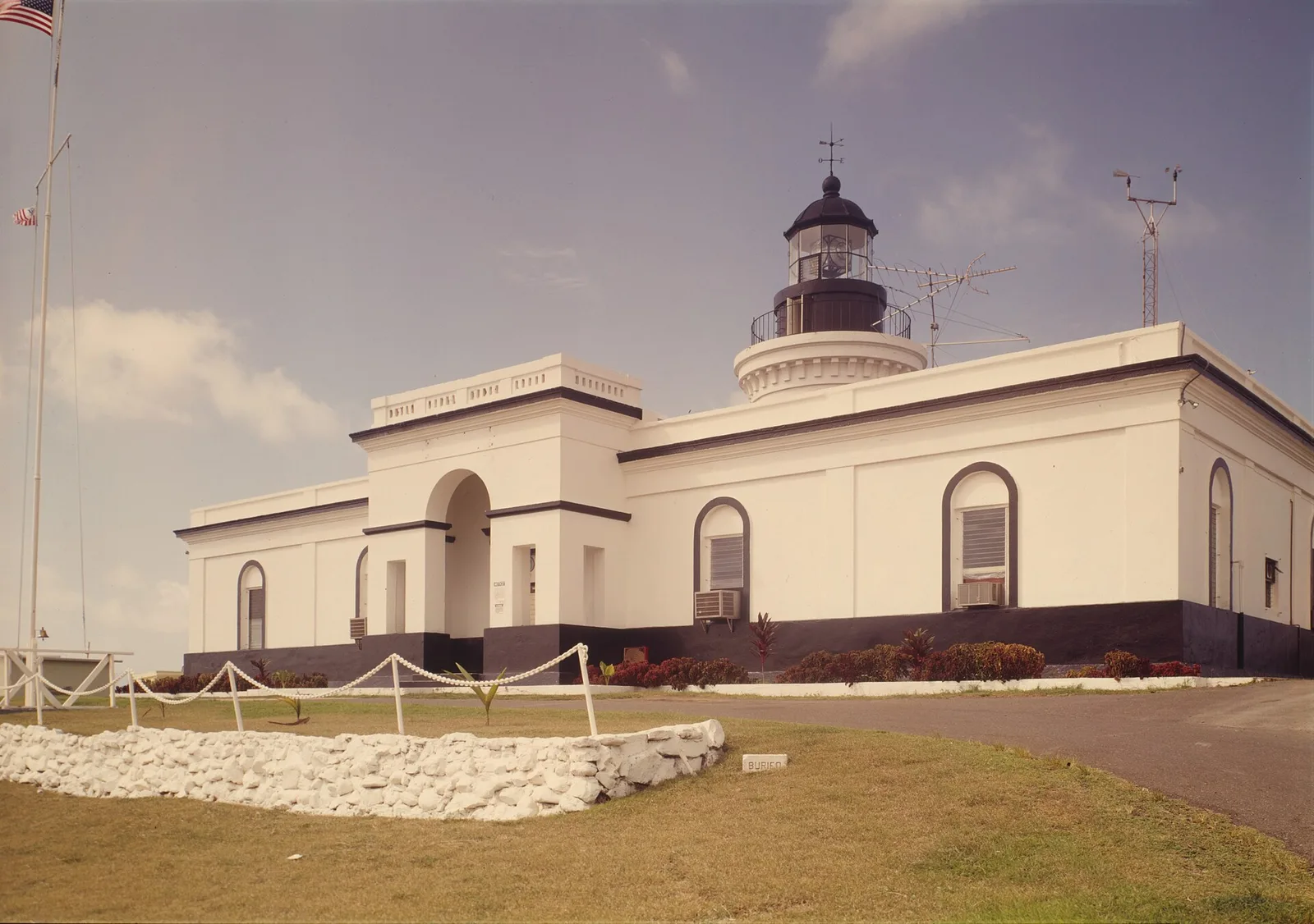
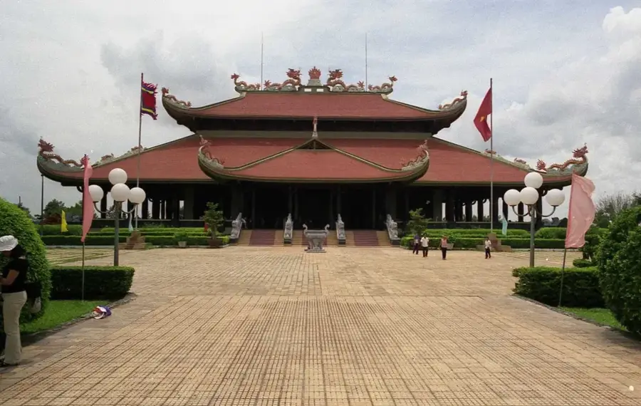
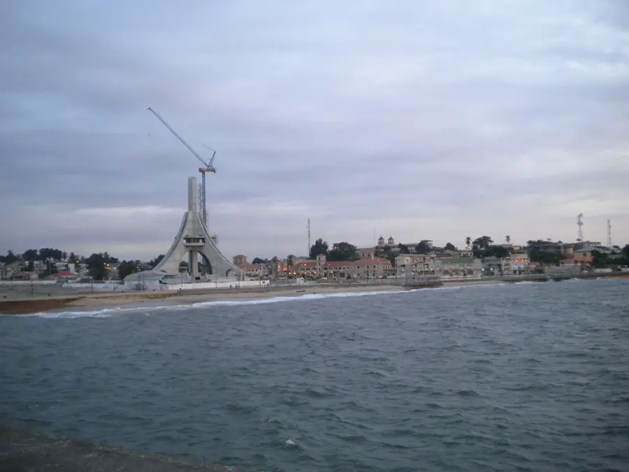
- Top sights: Río Campo · Campo River · Campo, Cameroon
- Nearby: Machinda (47 km)
Best time to visit & climate
The most pleasant time to visit is Jan, Jul, Dec.
| Jan | Feb | Mar | Apr | May | Jun | Jul | Aug | Sep | Oct | Nov | Dec | |
|---|---|---|---|---|---|---|---|---|---|---|---|---|
| Avg °C | 26 | 26 | 26 | 26 | 26 | 25 | 24 | 24 | 25 | 25 | 26 | 26 |
| Rain mm | 94 | 117 | 231 | 242 | 221 | 161 | 117 | 148 | 236 | 318 | 265 | 110 |
📋 Practical info
Geography
Facts
- Forms the strategic northernmost border with Cameroon.
- Features a wide and biologically rich Atlantic estuary.
- Home to extensive and vital mangrove forest systems.
- Important nesting and feeding area for marine turtles.
- Central to the traditional fishing economy of the north.
- Discharges into the Bight of Biafra in the Gulf of Guinea.
- A key site for international cross-border conservation.
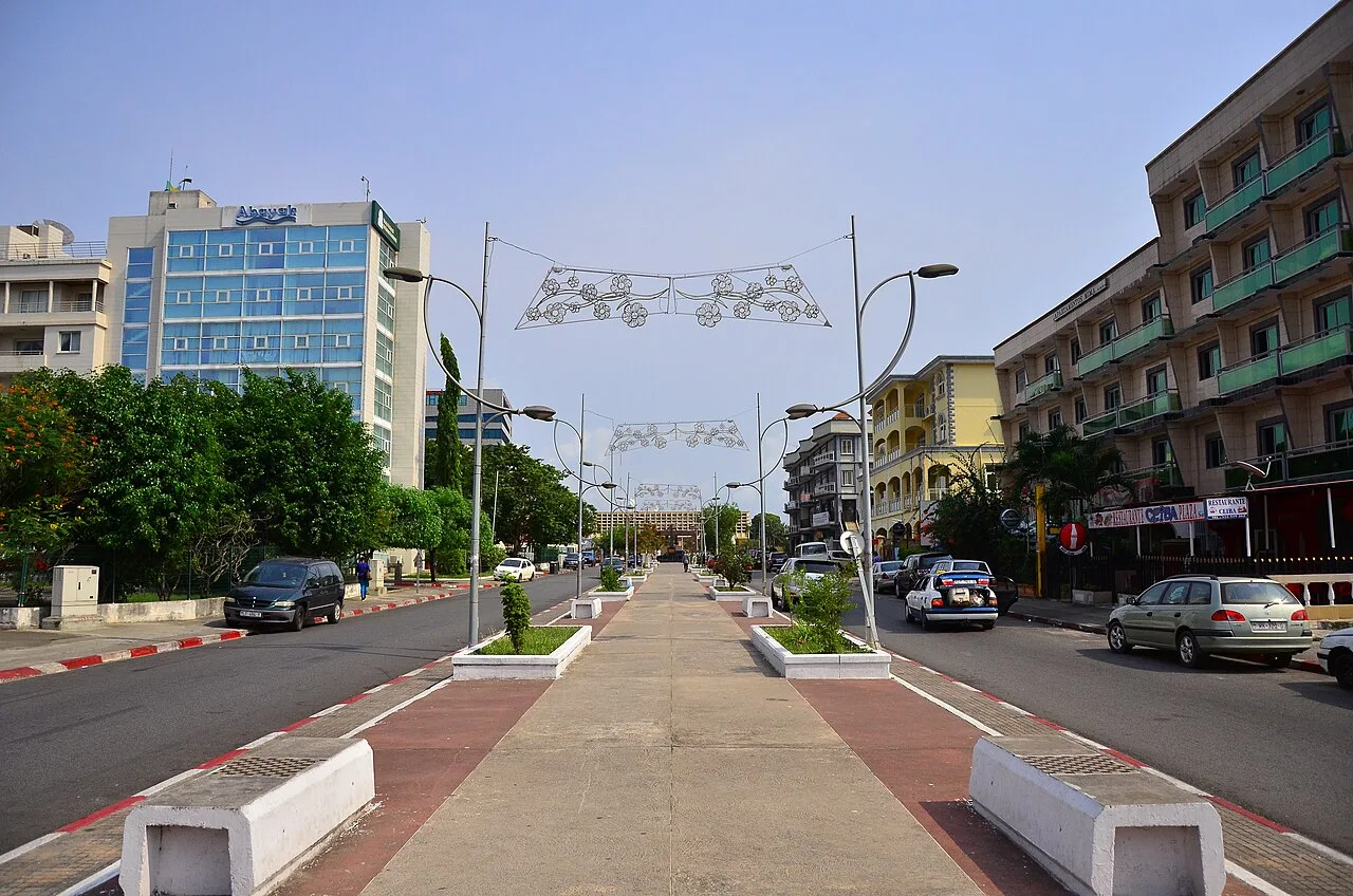
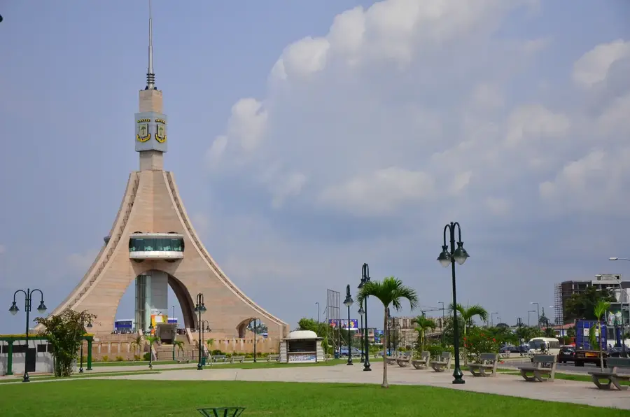
Explore nearby
Notable places around
Route planner — Car & Motorhome
Where do you start? We build the route here, with stops and country notes along the way.
© OpenStreetMap contributors · OpenRouteService
Sights in the town Rio Campo (3)
Sights nearby
Frequently asked questions
Where does the Rio Campo flow into?
Are there manatees there?
Can you cross the border there?
What is the vegetation like along the river?
Is the area developed for tourism?
Rio Campo: where is it located?
Rio Campo: what is there to see?
Rio Campo: when is the best time to visit?
Rio Campo: why is it worth visiting?

Nearby cities


History & landmarks
Nature
More places