Plizio Visual Lab
Río Campo
ℹ️Practical info — Río Campo
▾
🌤 Weather — 5 days
📍 Nearby
Sights nearby
💡 Tips
- Being a border town, expect border controls and a military presence; strictly avoid photographing officials or border posts.
- Cross-border trade means a mix of currencies might be accepted, but stick to CFA francs for standard rates.
- The Ntem River mouth provides beautiful scenery; consider negotiating with a local for a small boat trip.
- It can be a lively transit point, so keep a close eye on your belongings in crowded areas.
🍽 Food
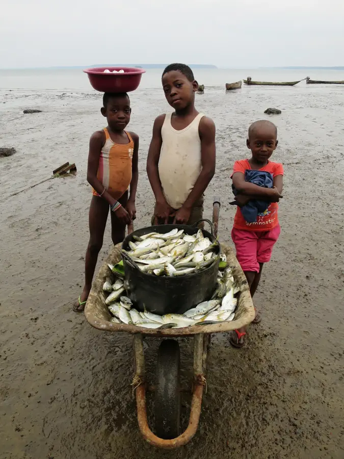
Seek out the small eateries near the riverbank for the catch of the day.
Enjoy the culinary mix due to the immediate border proximity.
Found at local market stalls depending on the day's catch.
🛍 Shopping · 🧘 Quiet spots
Explore the local market for items brought over from Cameroon.
Buy directly from fishermen early in the morning by the water.
Walk along the water for scenic views and a calmer vibe.
A relaxing spot away from the border bustle.
Water temperature…
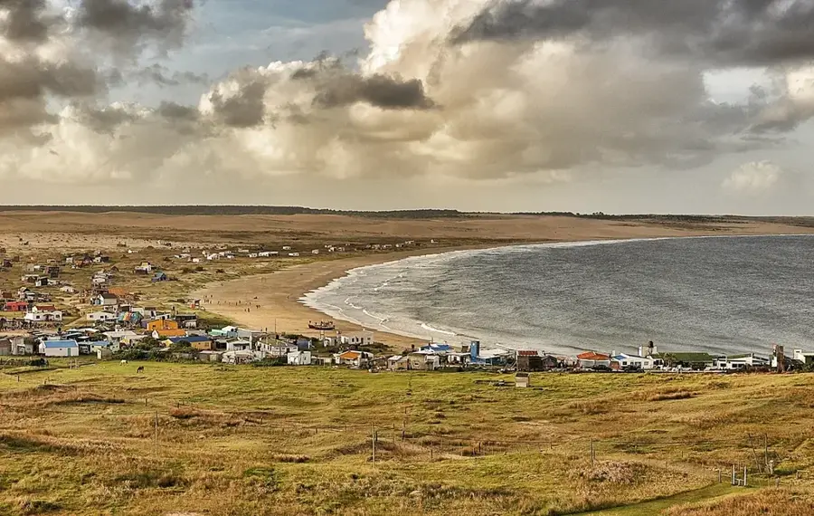
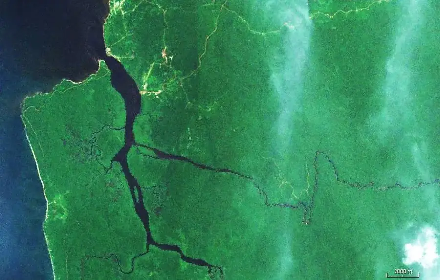
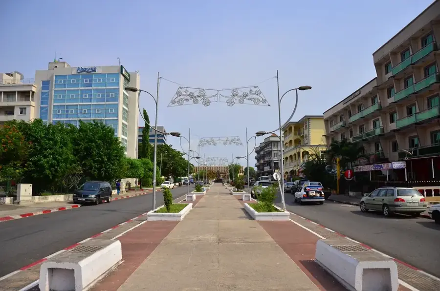
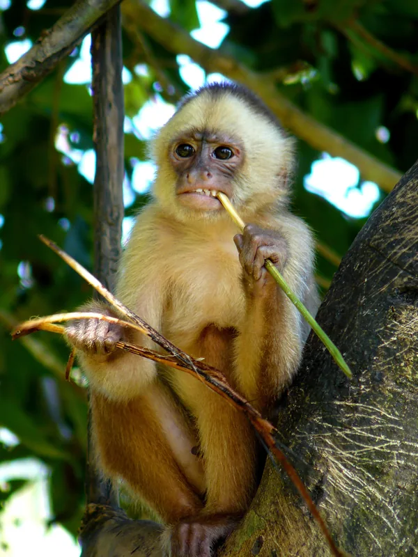
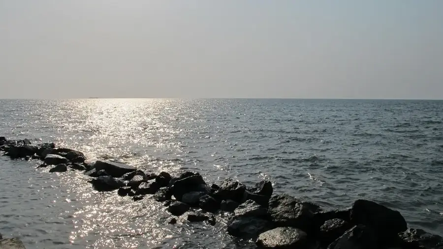
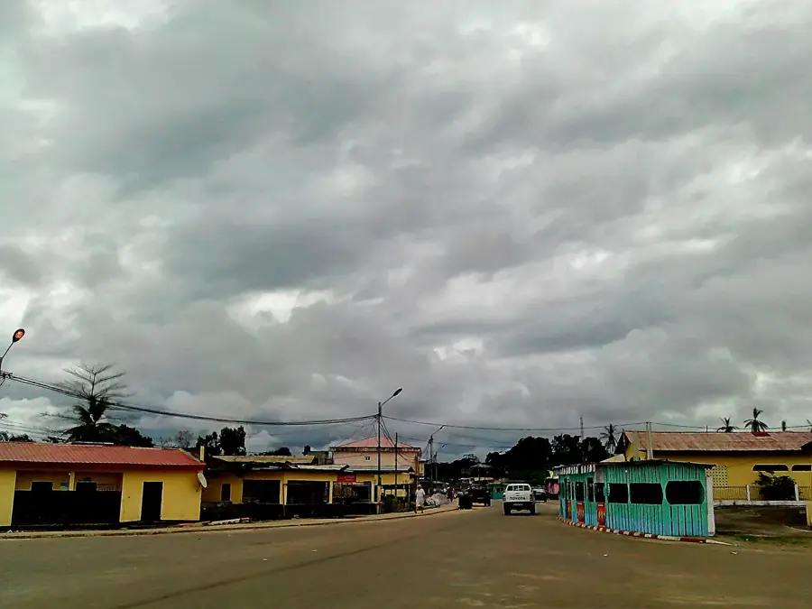
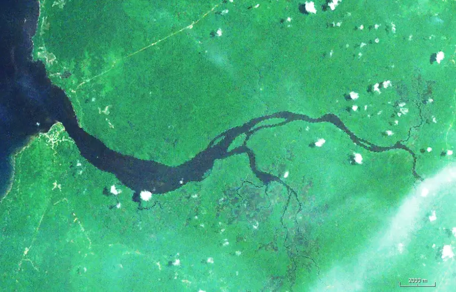
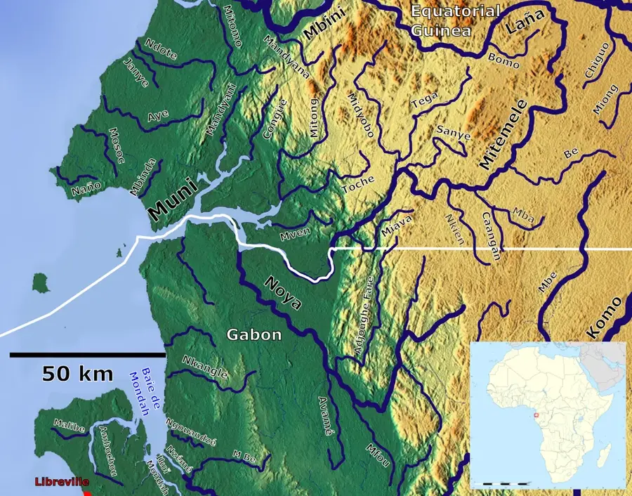
Río Campo is a significant coastal town in the northern Litoral province, situated directly at the mouth of the Ntem River, which forms the natural border with Cameroon. The town's geography is shaped by the meeting of riverine and marine ecosystems, creating a unique coastal landscape. Historically, Río Campo served as a key border outpost and a commercial gateway between the Spanish colony and neighboring Cameroon. Today, the area is best known for the Río Campo Reserve, a protected territory that provides vital habitats for rare species such as sea turtles and various primates. The local population is primarily engaged in fishing and small-scale cross-border trade. The town has grown in importance in recent years as coastal infrastructure has been modernized, improving its connection to the provincial capital of Bata. Despite its proximity to the international border, Río Campo maintains a peaceful atmosphere, defined by the natural beauty of the river estuary and its expansive beaches.
- Location: Equatorial Guinea
- Top sights: Campo River · Campo, Cameroon
- Nearby: Machinda (46 km)
- Population: ~1.105 (2018)
Best time to visit & climate
The most pleasant time to visit is Jan, Jul, Dec.
| Jan | Feb | Mar | Apr | May | Jun | Jul | Aug | Sep | Oct | Nov | Dec | |
|---|---|---|---|---|---|---|---|---|---|---|---|---|
| Avg °C | 26 | 26 | 26 | 26 | 26 | 25 | 24 | 24 | 25 | 25 | 26 | 26 |
| Rain mm | 94 | 117 | 231 | 242 | 221 | 161 | 117 | 148 | 236 | 318 | 265 | 110 |
Geography
Facts
- Located at the mouth of the Ntem River in the north
- Forms the natural international border with Cameroon
- Home to the ecologically significant Río Campo Reserve
- A known nesting site for rare species of sea turtles
- Economy revolves around fishing and cross-border trade
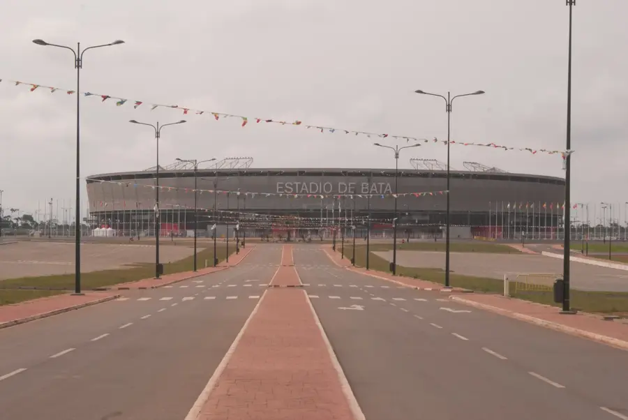
- Features modern road access to the regional hub of Bata
Explore nearby
Notable places around
Route planner — Car & Motorhome
Where do you start? We build the route here, with stops and country notes along the way.
© OpenStreetMap contributors · OpenRouteService
Sights in the town Río Campo (2)
Frequently asked questions
What is Río Campo?
What can you do in Río Campo?
How do you cross the border in Río Campo?
Is Río Campo safe?
Are there restaurants in Río Campo?
Río Campo: where is it located?
Río Campo: what is there to see?
Río Campo: when is the best time to visit?
Río Campo: why is it worth visiting?

Nearby cities


History & landmarks
Nature

More places