Plizio Visual Lab
Bolondo

ℹ️Practical info — Bolondo
▾
🌤 Weather — 5 days
📍 Nearby
Sights nearby
💡 Tips
- Getting here involves crossing the Benito River; check if the bridge or ferry connections are fully operational before your trip.
- The humid tropical climate means mosquitoes are prevalent, so bring strong repellent and wear light, long sleeves in the evening.
- Spanish is the main language, knowing a few basic phrases will greatly help in this rural setting.
- Tourist infrastructure is very minimal; expect to adapt to the slow, local pace of life.
🍽 Food
Locally caught fish and prawns, usually served grilled at small eateries near the coast.
Taro root, a common starchy side dish accompanying most meals.
Savory dish made with unripe plantains and fish, ask locals for homemade versions.
🛍 Shopping · 🧘 Quiet spots
A small local gathering where you can find tropical fruits, vegetables, and basic daily goods.
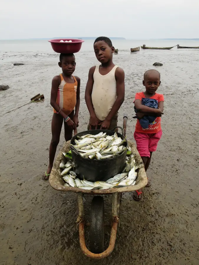
Buy fish directly from the fishermen returning to the beach in the morning.
Empty and unspoiled stretches of sand, great for a solitary walk along the Atlantic.
Find a shady spot under the trees to watch the gentle flow of the river meeting the sea.
Water temperature…
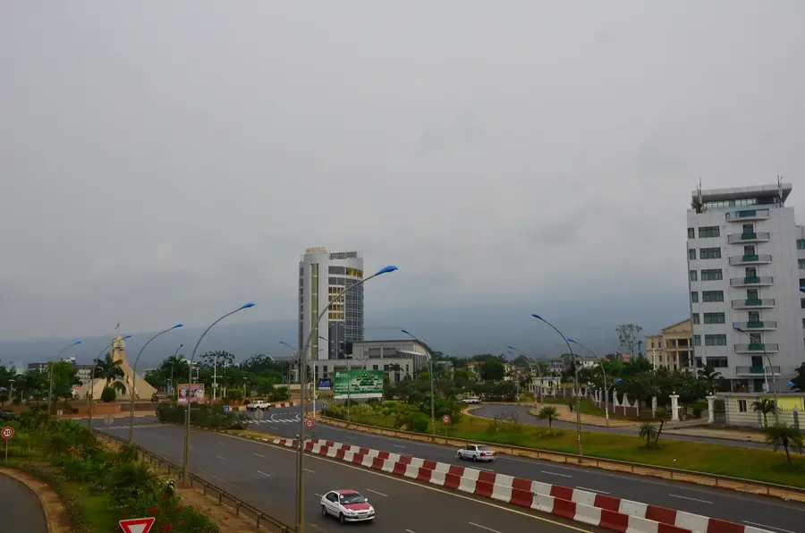
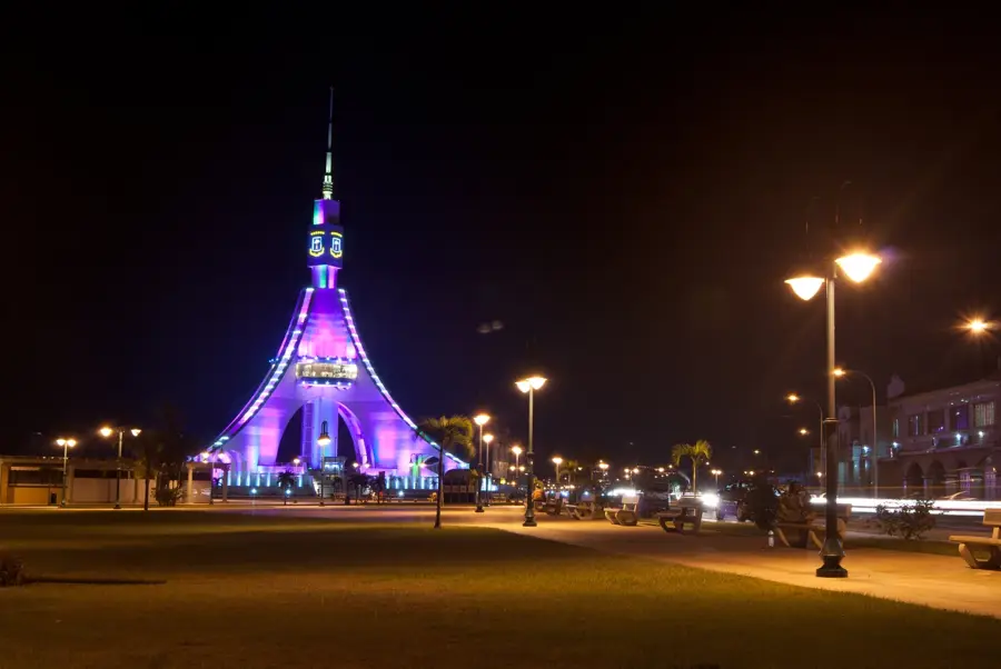
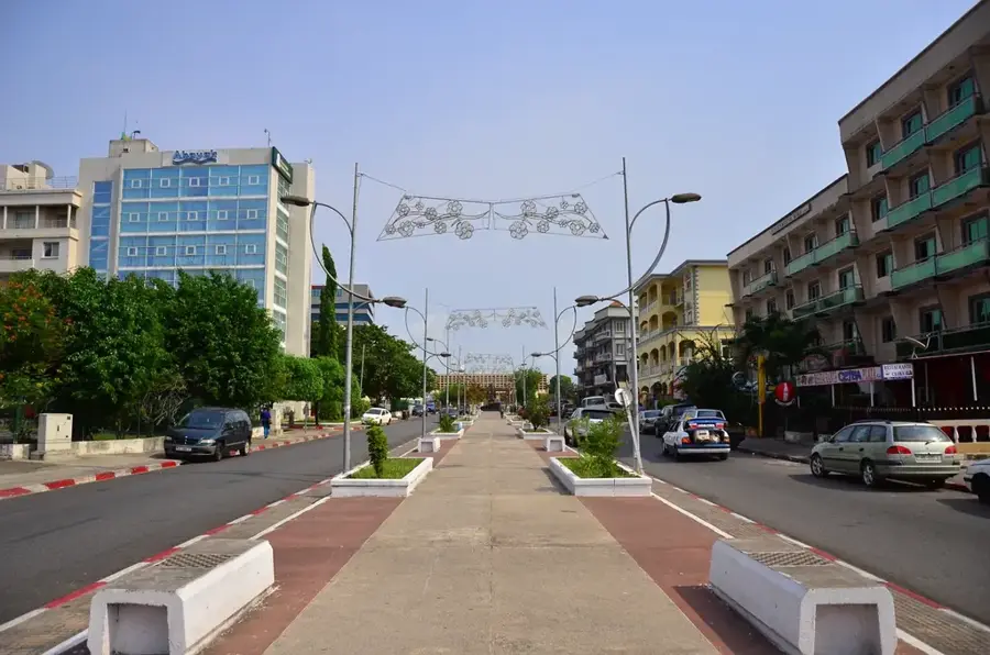
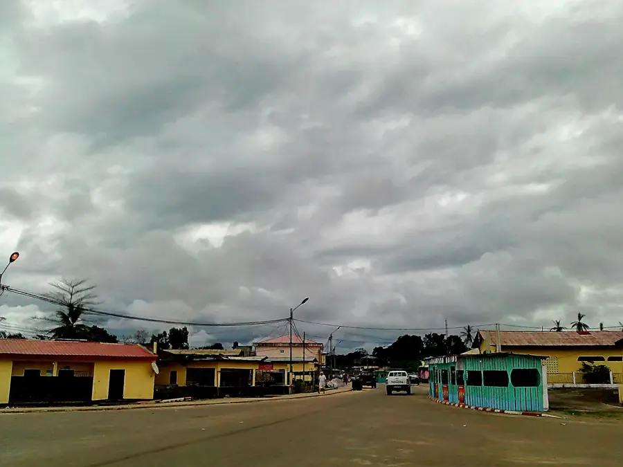
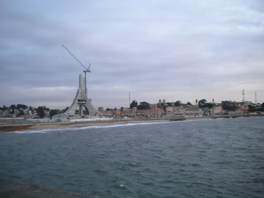
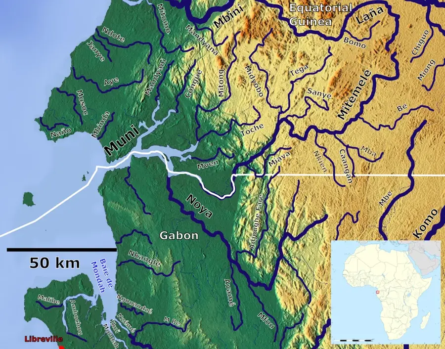
Bolondo is a strategically located small town at the mouth of the Mbini River in the Litoral province. The town sits directly across from the larger city of Mbini, to which it is now linked by one of the country's longest bridges. Geographically, Bolondo marks the confluence where the river's freshwater meets the Atlantic Ocean, creating a brackish environment rich in diverse fish species. Historically, Bolondo served as an important hub for transporting timber and agricultural goods from the interior to the coast. With the completion of the bridge over the Mbini River, the settlement transitioned from a remote ferry station into a vital transit point on the coastal highway connecting Bata and Cogo. The local economy is driven by trade, fishing, and increasingly by services catering to travelers. Despite recent modernization, Bolondo retains its coastal charm, with some architectural features still reflecting its Spanish colonial past.
- Location: Equatorial Guinea
- Nearby: Mbini (4 km)
- Population: ~4.062 (2014)
Best time to visit & climate
The most pleasant time to visit is Jun–Aug.
| Jan | Feb | Mar | Apr | May | Jun | Jul | Aug | Sep | Oct | Nov | Dec | |
|---|---|---|---|---|---|---|---|---|---|---|---|---|
| Avg °C | 27 | 27 | 28 | 28 | 27 | 26 | 25 | 25 | 26 | 26 | 26 | 27 |
| Rain mm | 199 | 185 | 288 | 267 | 219 | 70 | 32 | 48 | 158 | 378 | 386 | 222 |
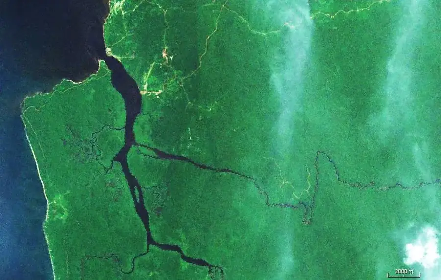
Geography
Facts
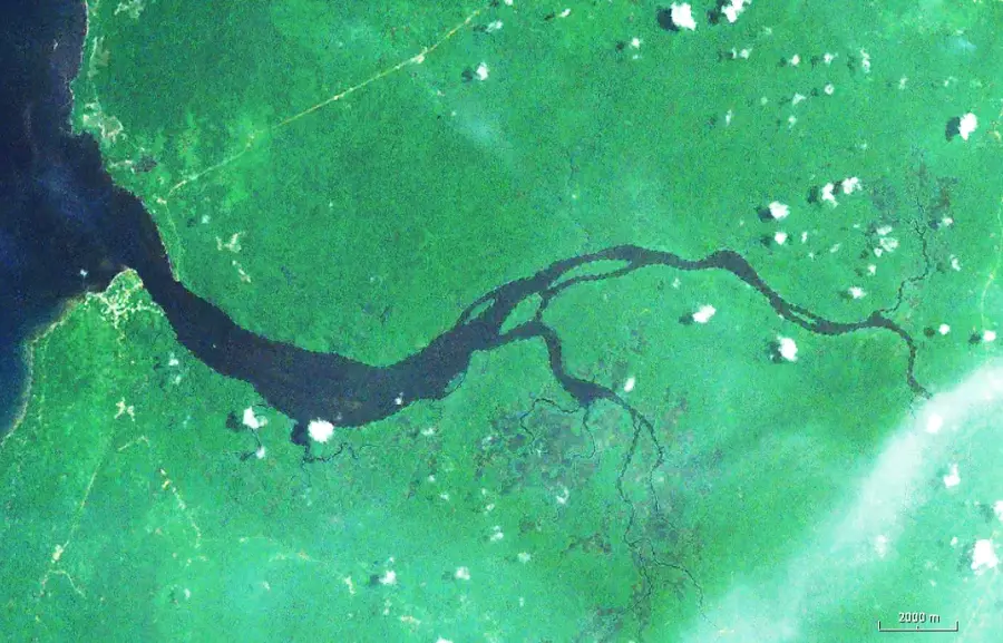
- Located at the mouth of the Mbini River on the Atlantic
- Connected to the city of Mbini by a major bridge
- A key transit point on the Bata-Cogo coastal highway
- Historically a hub for timber transport from the interior
- Climate is tropical maritime with high humidity levels
- Economy is based on fishing and regional trade activities
Explore nearby
Notable places around
Route planner — Car & Motorhome
Where do you start? We build the route here, with stops and country notes along the way.
© OpenStreetMap contributors · OpenRouteService
Frequently asked questions
Where is Bolondo located?
How do you get to Bolondo?
What is the main attraction of Bolondo?
Can you go out to eat in Bolondo?
Are there ferries between Mbini and Bolondo?
Bolondo: where is it located?
Bolondo: when is the best time to visit?
Bolondo: why is it worth visiting?

Nearby cities


History & landmarks
Nature

More places