Plizio Visual Lab
Port of Bata
Weather…
Water temperature…
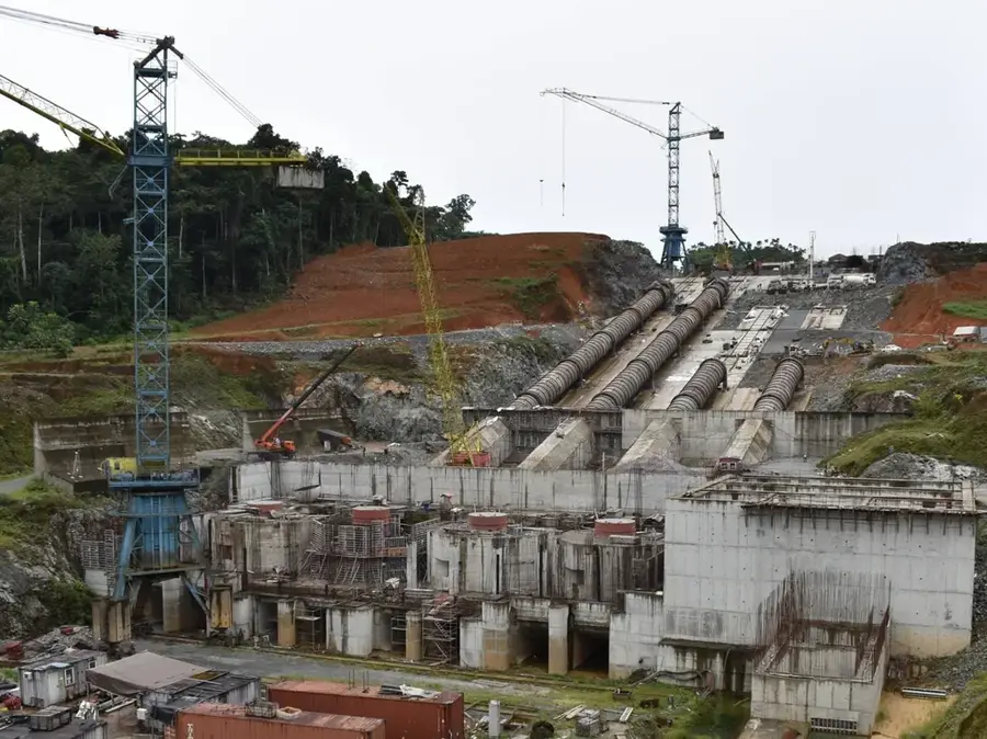
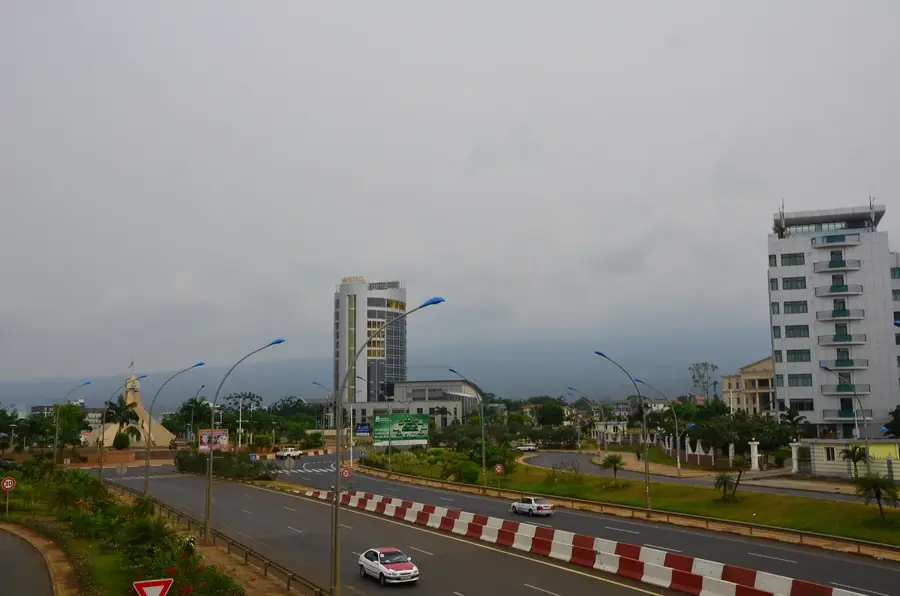
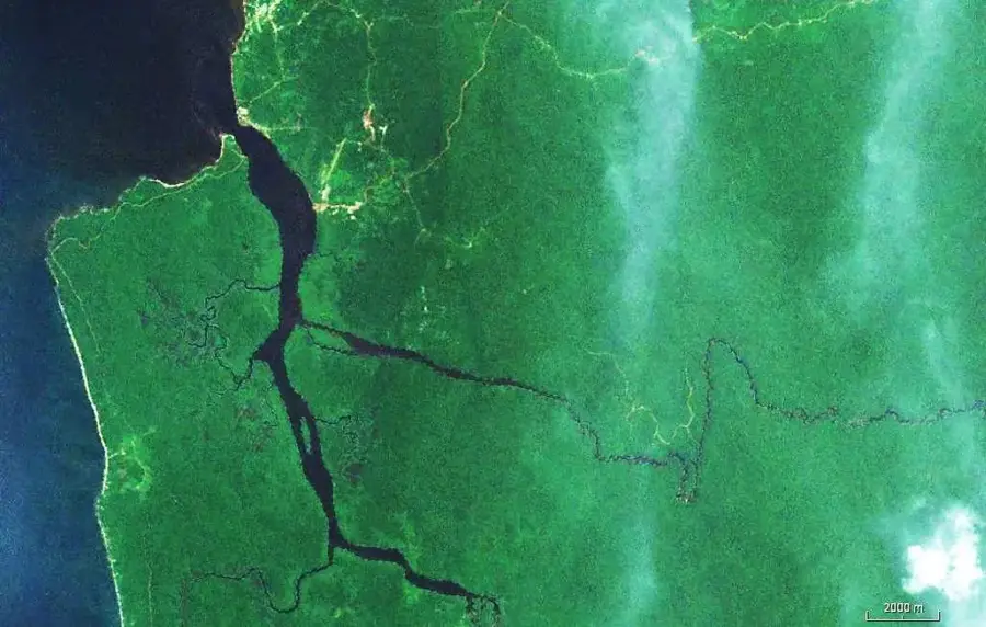
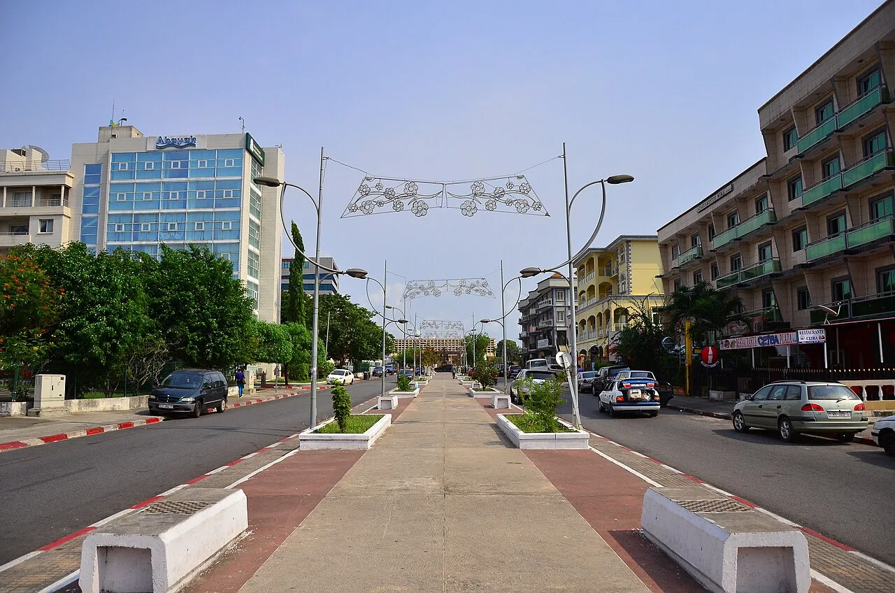
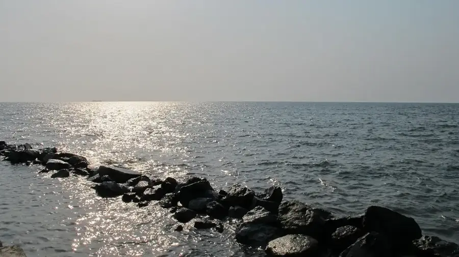
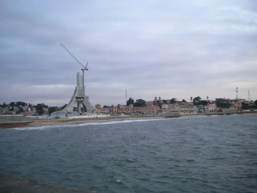
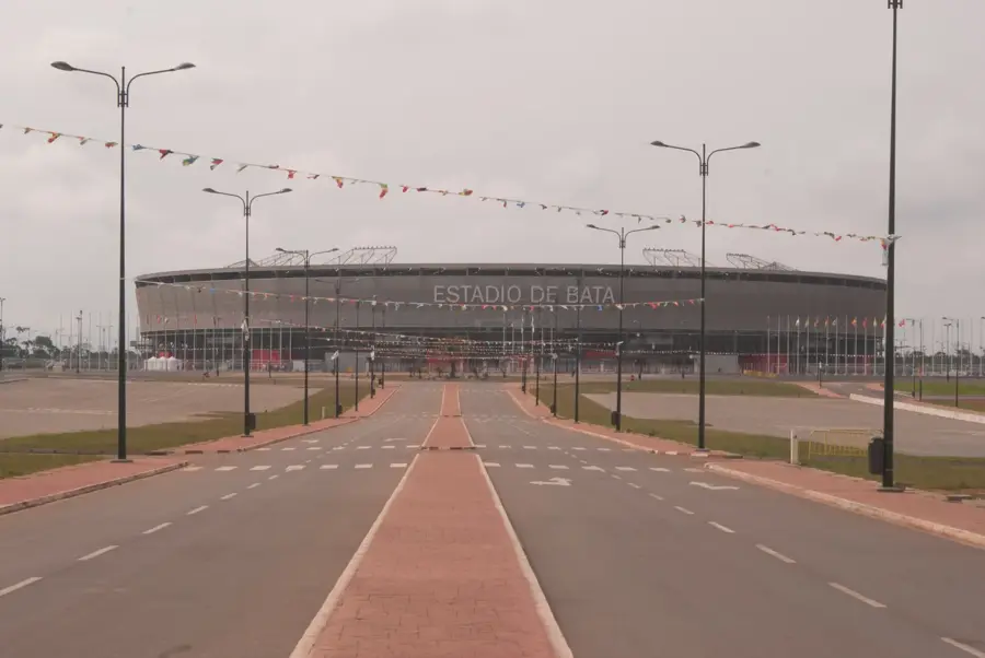
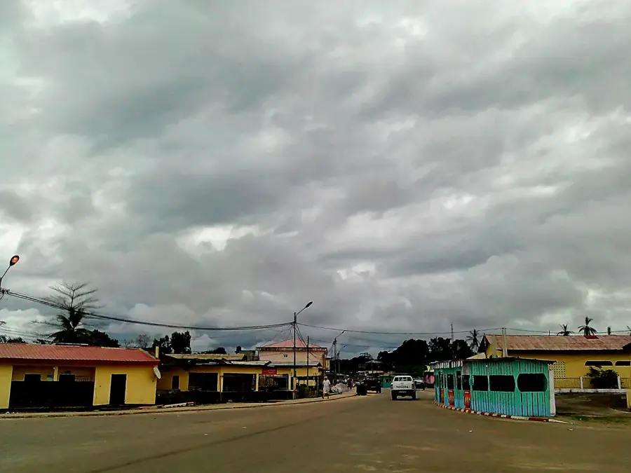
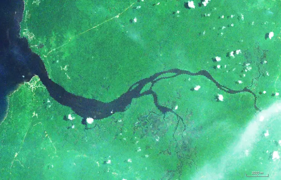
The Port of Bata is the largest port in the continental part of Equatorial Guinea (Río Muni) and plays a decisive role in the economic connectivity of the mainland. Geographically located on the coast of Bata, it has been significantly expanded in recent years through extensive land reclamation projects. Historically, the port primarily served the export of precious hardwoods, but it has now evolved into a multi-functional terminal handling containers, fuel, and general merchandise. The modernization of the port was driven largely by international cooperation, making Bata one of the most modern logistics centers on the West African coast. With new quays and specialized cranes, the port is capable of ensuring the supply for the entire mainland population and adjacent inland regions. In addition to the commercial sector, the port serves as a base for the national navy and plays a vital role in the regional security of the Gulf of Guinea. The continuous development of the port is a cornerstone of the national diversification strategy, 'Horizonte 2020'.
- Location: Equatorial Guinea
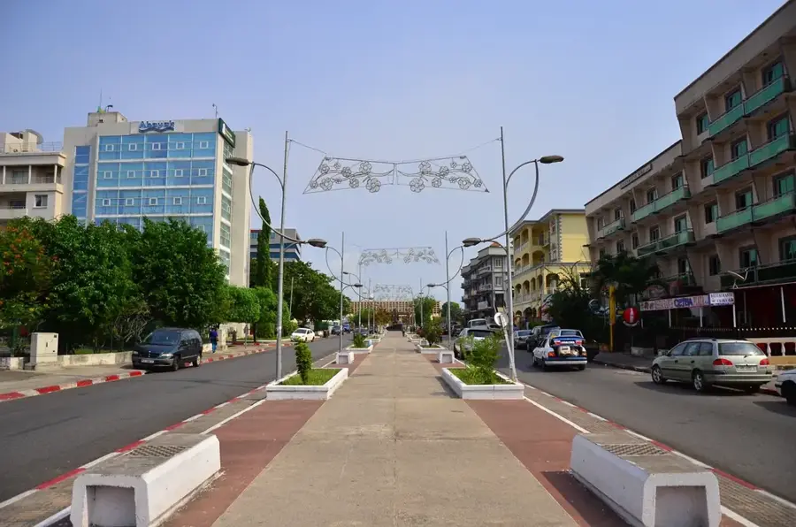
- Top sights: Torre del Reloj · Plaza de la Libertad · Catedral de Santiago Apóstol y Ntra. Sra. del Pilar
- Nearby: Bata-manga (9 km)
Best time to visit & climate
The most pleasant time to visit is Jun–Aug.
| Jan | Feb | Mar | Apr | May | Jun | Jul | Aug | Sep | Oct | Nov | Dec | |
|---|---|---|---|---|---|---|---|---|---|---|---|---|
| Avg °C | 25 | 26 | 26 | 26 | 26 | 25 | 24 | 24 | 24 | 25 | 25 | 25 |
| Rain mm | 152 | 153 | 266 | 265 | 225 | 116 | 62 | 86 | 192 | 369 | 349 | 179 |
📋 Practical info
Geography
Facts
- Bata is the leading export port for timber and agricultural products.
- The port facility was expanded through massive sea reclamation projects.
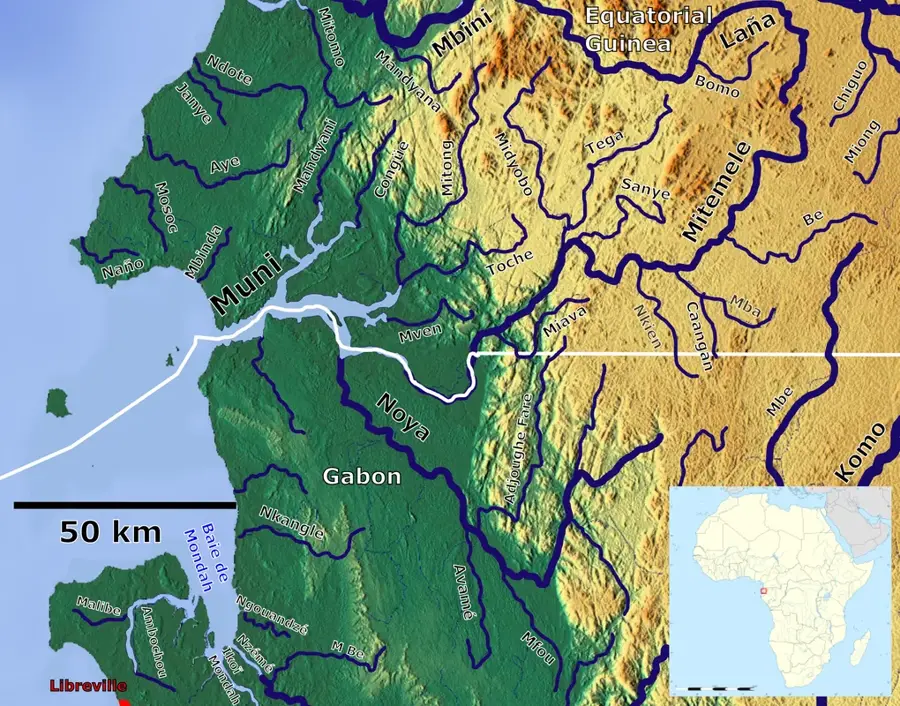
- Located on the Atlantic coast in the northern part of Río Muni.
- Equipped with a modern container terminal and specialized gantry cranes.
- Serves as a critical base for the Equatorial Guinean National Navy.
- The expansion was largely executed by international construction firms.
Explore nearby
Notable places around
Route planner — Car & Motorhome
Where do you start? We build the route here, with stops and country notes along the way.
© OpenStreetMap contributors · OpenRouteService
Sights in the town Port of Bata (4)
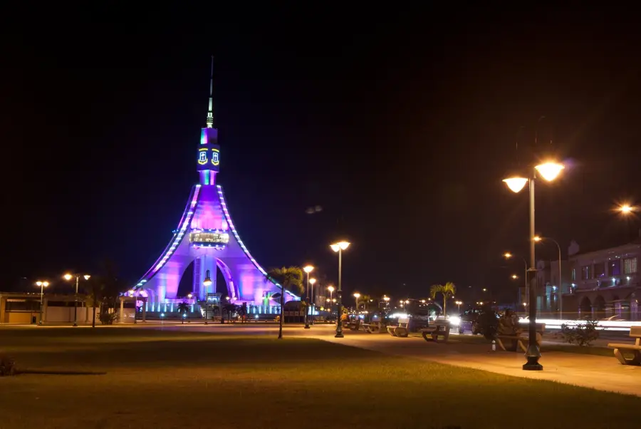
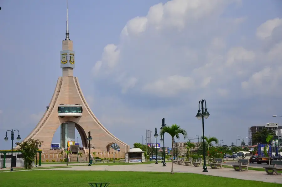
Torre de la Libertad
Monument in Bata, Equatorial Guinea, erected as a symbol of freedom.
Sights nearby
Frequently asked questions
Is the Bata port open to visitors?
Why is this port important?
Are there nearby viewpoints?
What role does the port play for the region?
How is traffic in the area?
Port of Bata: where is it located?
Port of Bata: what is there to see?
Port of Bata: when is the best time to visit?
Port of Bata: why is it worth visiting?

Nearby cities


History & landmarks
Nature

More places