Plizio Visual Lab
Benito River
Weather…
Water temperature…
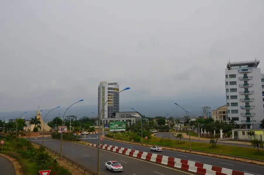
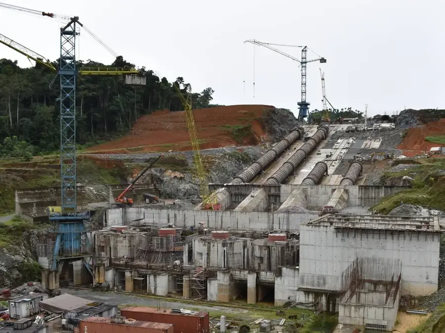
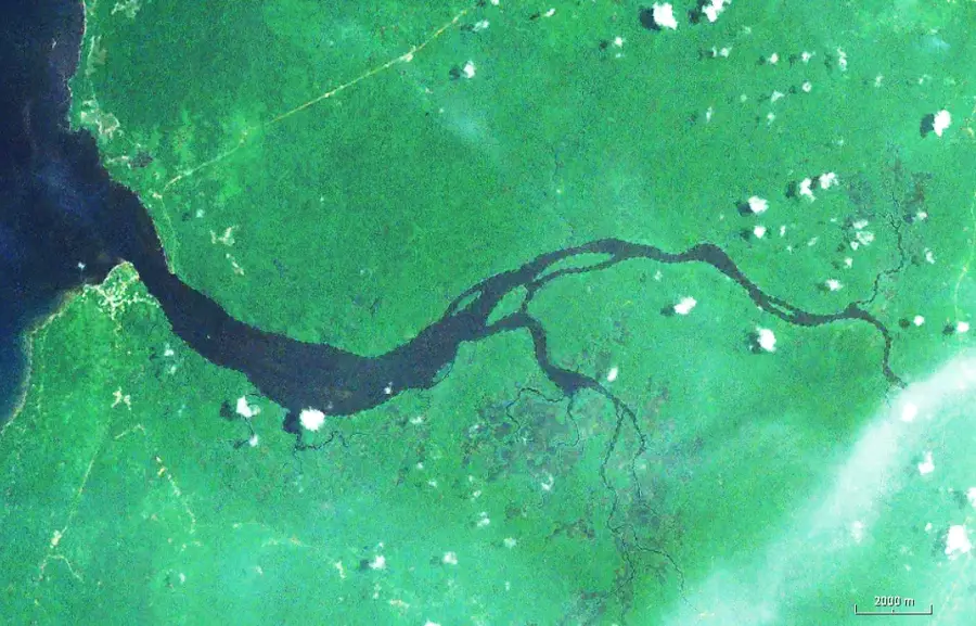
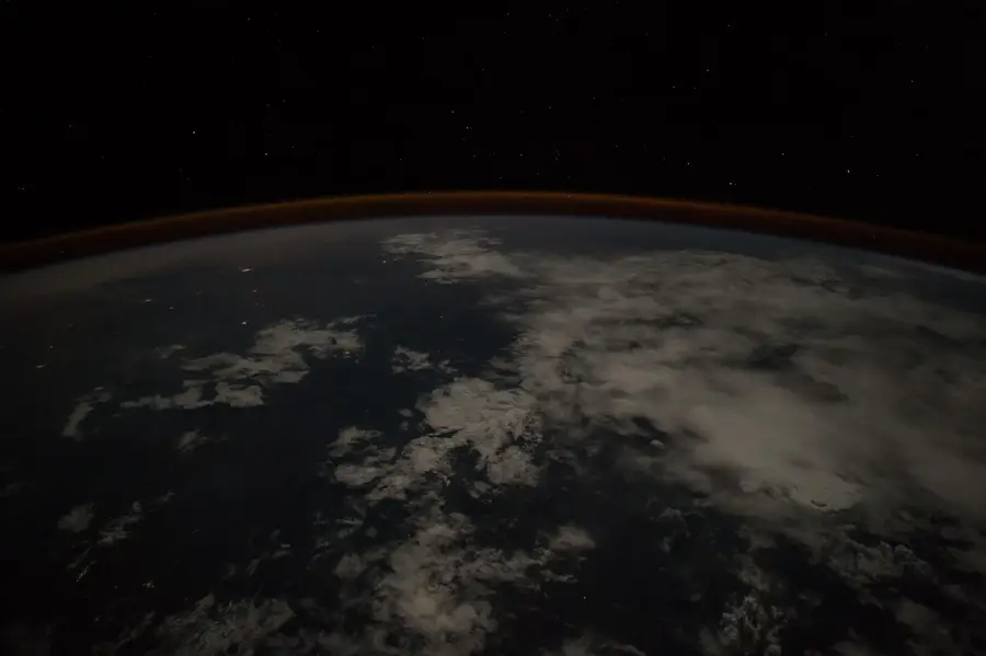
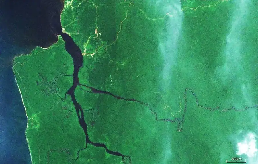
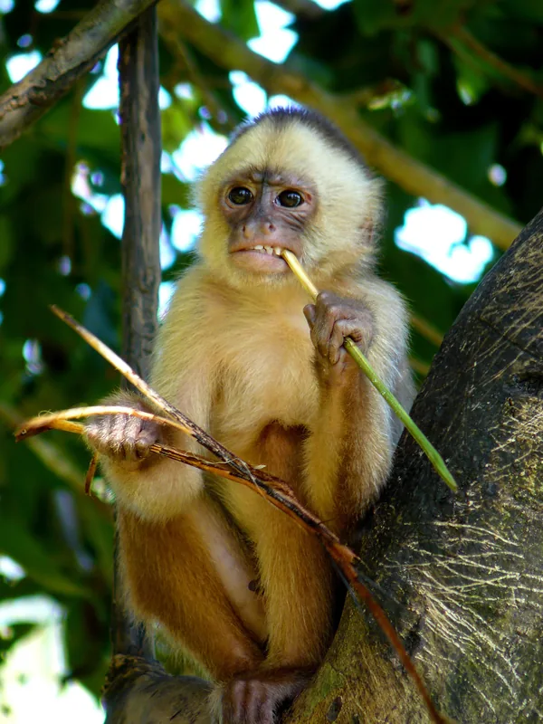
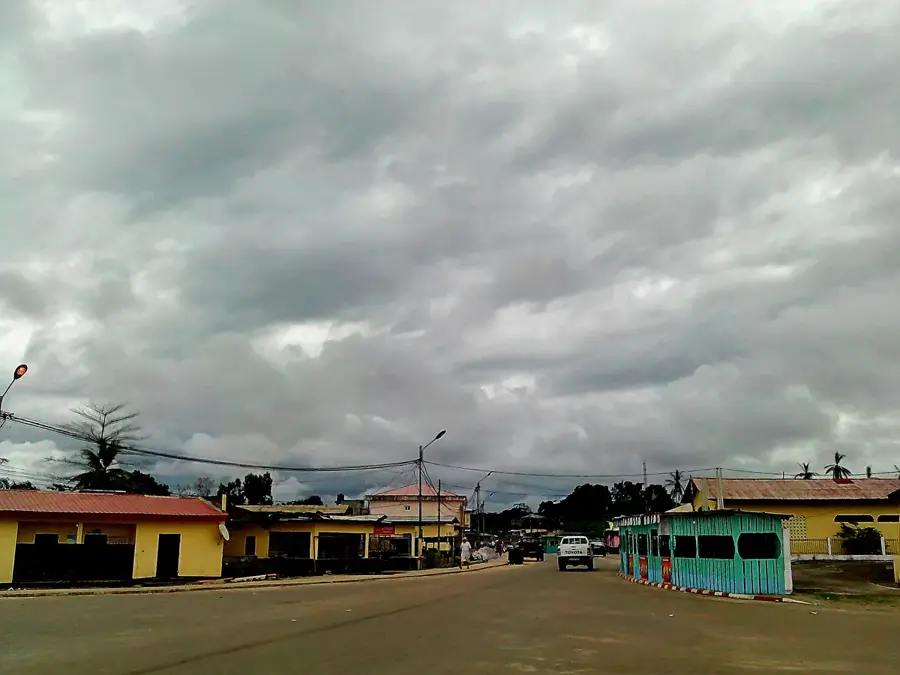
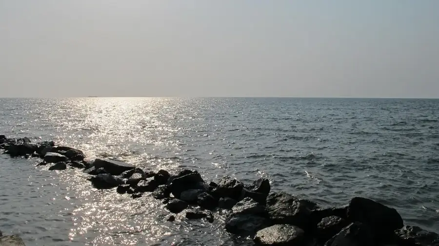
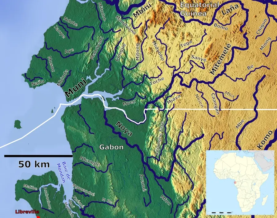
The Benito River, also known as the Mbini, is the most important hydrological artery in mainland Equatorial Guinea, flowing for approximately 338 kilometers across the Rio Muni region. Originating in the eastern highlands, it travels westward through dense rainforests before discharging into the Atlantic Ocean at the town of Mbini. The river plays a crucial role in the national economy, serving as a historic transportation route for the timber industry and a growing source of hydroelectric power. Its banks are lined with rich mangrove ecosystems and primary tropical forests that host an incredible diversity of wildlife, including crocodiles and West African manatees. The Mbini Bridge, one of the longest in Africa, was completed in 2012 to span the river's wide estuary and improve coastal connectivity. The Benito River is more than just a waterway; it is a symbol of the country's natural abundance and its connection to the Atlantic world.
- Location: Equatorial Guinea
- Nearby: Bitica (15 km)
Best time to visit & climate
The most pleasant time to visit is Jun–Aug.
| Jan | Feb | Mar | Apr | May | Jun | Jul | Aug | Sep | Oct | Nov | Dec | |
|---|---|---|---|---|---|---|---|---|---|---|---|---|
| Avg °C | 27 | 27 | 28 | 28 | 27 | 26 | 25 | 25 | 26 | 26 | 26 | 27 |
| Rain mm | 199 | 185 | 288 | 267 | 219 | 70 | 32 | 48 | 158 | 378 | 386 | 222 |
📋 Practical info
Geography
Facts
- The longest river on the mainland at approximately 338 km.
- Flows from the eastern highlands to the Atlantic Ocean.
- Known as the Wele River in its upper and middle reaches.
- Spanned by the Mbini Bridge, a landmark completed in 2012.
- Provides the water source for the Djibloho hydroelectric dam.
- Its estuary features some of the best-preserved mangroves.
Explore nearby
Notable places around
Route planner — Car & Motorhome
Where do you start? We build the route here, with stops and country notes along the way.
© OpenStreetMap contributors · OpenRouteService
Sights in the town Benito River (1)
Sights nearby
Frequently asked questions
Can you take boat trips on the Río Benito?
Is the river suitable for fishing?
Is the water safe for swimming?
When is the best season?
Are there picnic spots by the river?
Benito River: where is it located?
Benito River: when is the best time to visit?
Benito River: why is it worth visiting?

Nearby cities


History & landmarks
Nature
More places