Plizio Visual Lab
Monte Bilat

Weather…
Water temperature…
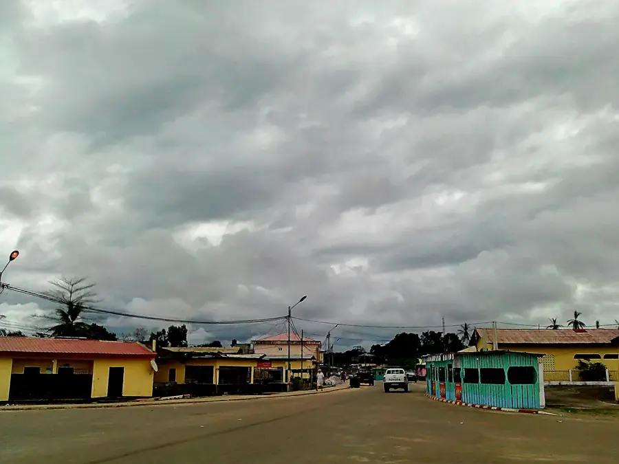
Monte Bilat is a prominent coastal mountain located in the Litoral Province, rising significantly above the flat coastal plain of Rio Muni. Its proximity to the Atlantic Ocean makes it a striking landmark for both mariners and land travelers. The mountain's relief is characterized by steep, forested slopes that offer magnificent views over the Gulf of Guinea and the surrounding mangrove estuaries. Despite the pressure from nearby urban areas like Bata, Monte Bilat has preserved much of its natural forest cover, serving as an important green bastion and an ecological island near the coast. It is a key feature of the Litoral landscape and a reminder of the rugged volcanic and tectonic history of the West African margin. Curriculum: Geography K6, Earth Science K7.
- Location: Equatorial Guinea
- Nearby: Machinda (10 km)
Best time to visit & climate
The most pleasant time to visit is Jun–Aug.
| Jan | Feb | Mar | Apr | May | Jun | Jul | Aug | Sep | Oct | Nov | Dec | |
|---|---|---|---|---|---|---|---|---|---|---|---|---|
| Avg °C | 27 | 28 | 28 | 28 | 27 | 26 | 25 | 25 | 26 | 26 | 27 | 27 |
| Rain mm | 167 | 163 | 267 | 260 | 225 | 106 | 60 | 77 | 183 | 362 | 347 | 192 |
📋 Practical info
Geography
Facts
- A prominent mountain rising from the flat Litoral coastal plain.
- Located near the Atlantic coast in the vicinity of Bata.
- Offers spectacular panoramic views of the ocean and coast.
- A significant landmark for regional and coastal navigation.
- Maintains a vital forest habitat near major urban zones.
- Features steep terrain that has limited human encroachment.
- A symbol of the diverse topography of the mainland coast.
Explore nearby
Notable places around
Route planner — Car & Motorhome
Where do you start? We build the route here, with stops and country notes along the way.
© OpenStreetMap contributors · OpenRouteService
Sights nearby
Frequently asked questions
Where is Monte Bilat located?
How do you get to Monte Bilat?
What can you see there?
Are there hiking maps available?
Is the area safe for tourists?
Monte Bilat: where is it located?
Monte Bilat: when is the best time to visit?
Monte Bilat: why is it worth visiting?

Nearby cities

History & landmarks
More places