Plizio Visual Lab
Lighthouse of Punta Unidad
Weather…
Water temperature…
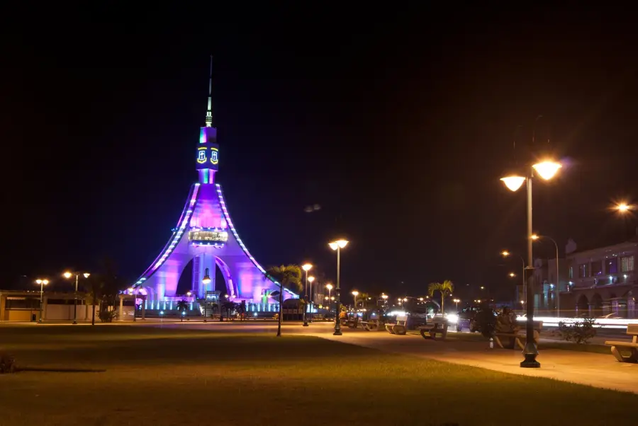
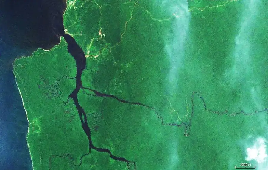
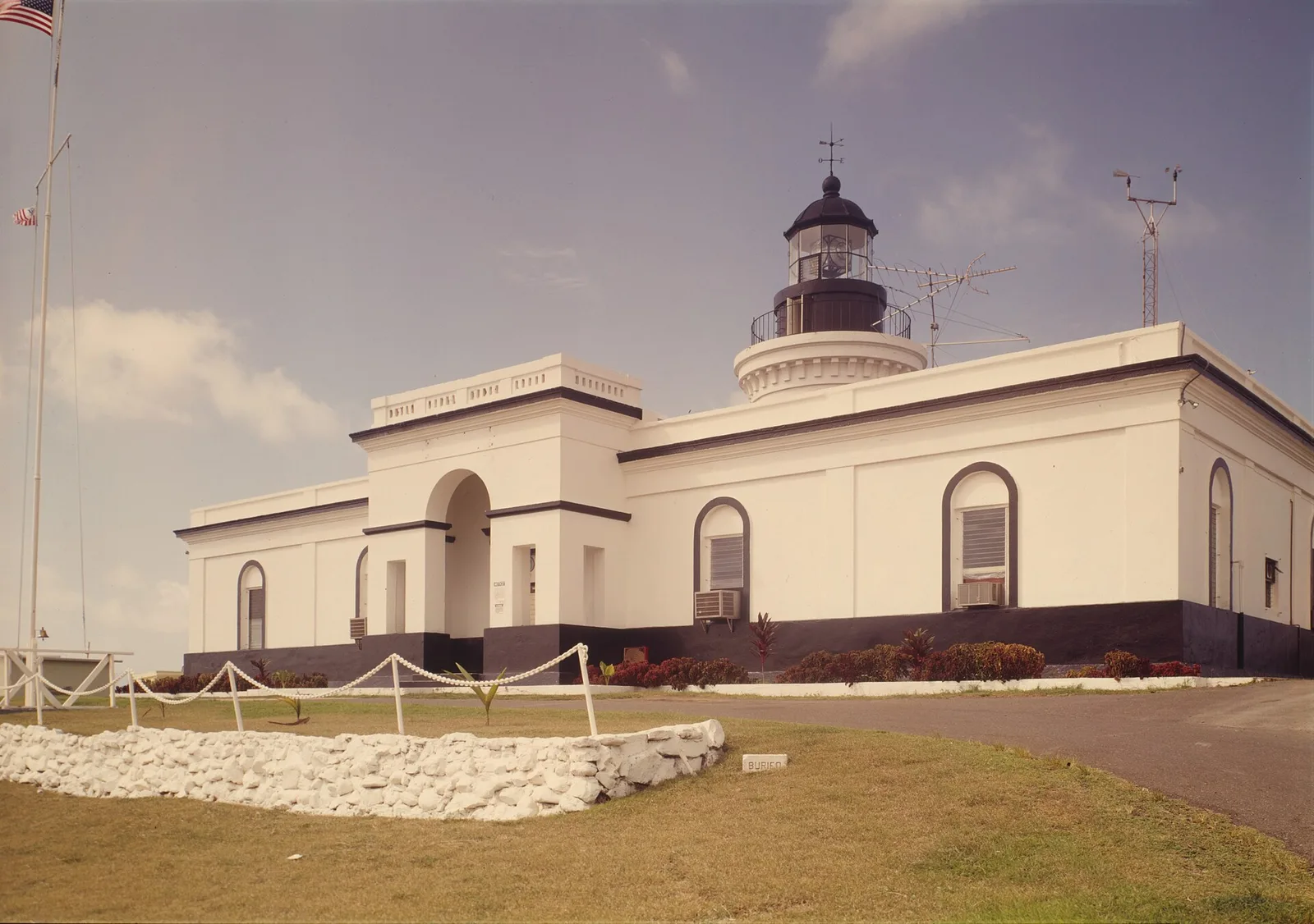
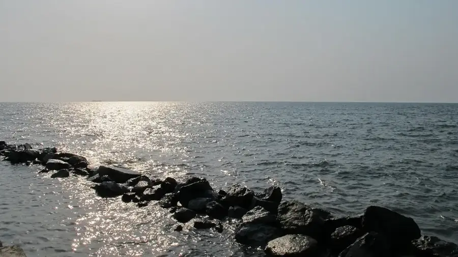
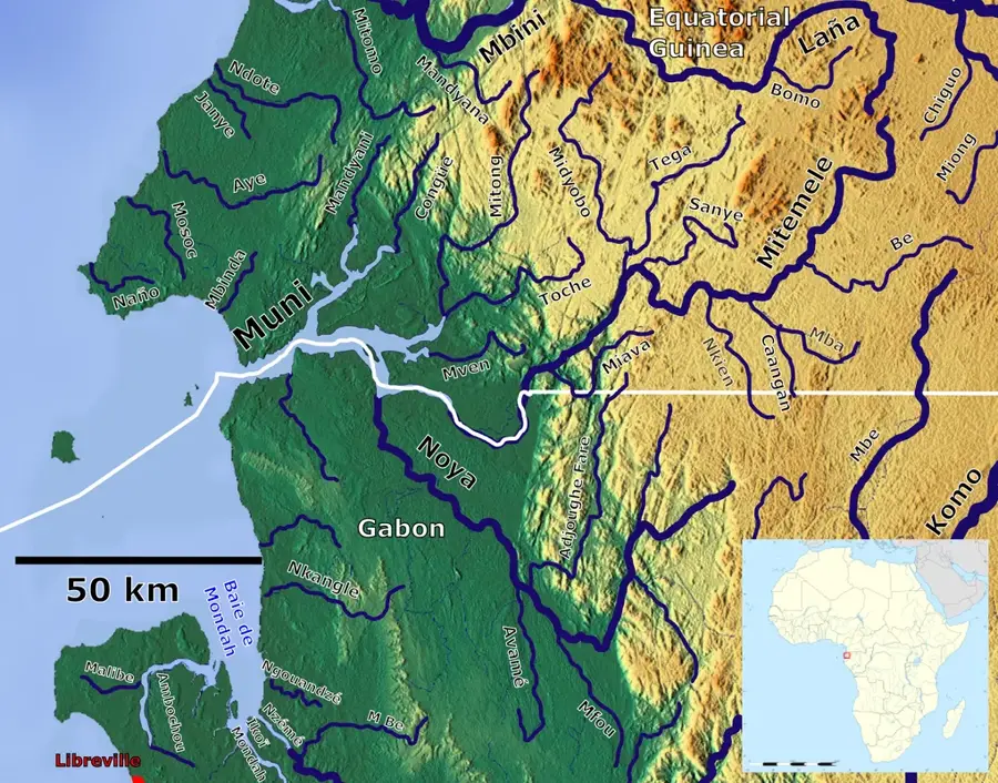
The Lighthouse of Punta Unidad is a historic maritime landmark situated at the northernmost tip of Rio Muni, near the mouth of the Ntem River. Since its construction during the colonial era, the lighthouse has served as a critical navigational aid for ships entering the Gulf of Guinea and navigating the border waters between Equatorial Guinea and Cameroon. Its classic tower design is a representative example of early 20th-century maritime engineering. The lighthouse area features commanding views of the Atlantic Ocean and the neighboring Cameroonian coastline. It represents the early efforts to secure and organize the coastal waters of the colony and remains a symbol of the nation's maritime history. Curriculum: History K7, Technology K8.
- Location: Equatorial Guinea
- Nearby: Machinda (47 km)
Best time to visit & climate
The most pleasant time to visit is Jan, Jul, Dec.
| Jan | Feb | Mar | Apr | May | Jun | Jul | Aug | Sep | Oct | Nov | Dec | |
|---|---|---|---|---|---|---|---|---|---|---|---|---|
| Avg °C | 26 | 26 | 26 | 26 | 26 | 25 | 24 | 24 | 25 | 25 | 26 | 26 |
| Rain mm | 94 | 117 | 231 | 242 | 221 | 161 | 117 | 148 | 236 | 318 | 265 | 110 |
📋 Practical info
Geography
Facts
- Historic lighthouse at the northernmost point of mainland Rio Muni.
- Serves as a critical navigational aid for the Gulf of Guinea.
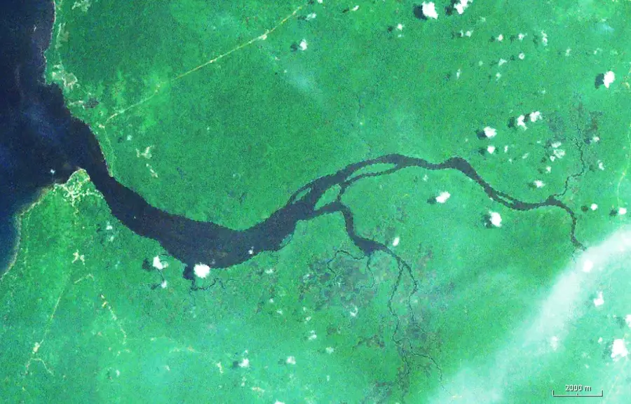
- Located near the strategic border mouth of the Ntem River.
- Example of early 20th-century colonial maritime engineering.
- Offers scenic views over the Atlantic and the Cameroon border.
- Strategically important for the safety of regional maritime trade.
- A symbol of the early colonial organization of coastal waters.
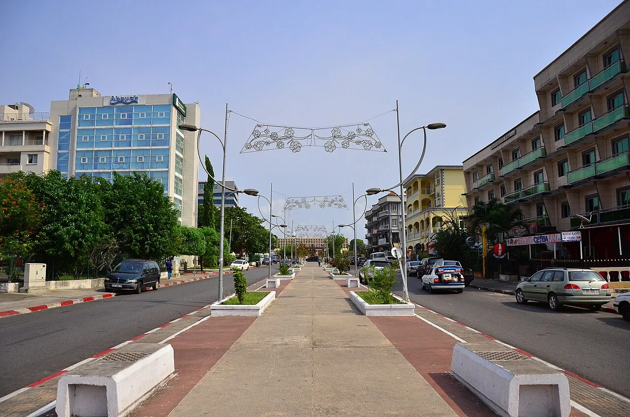
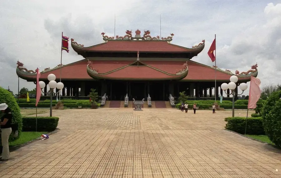
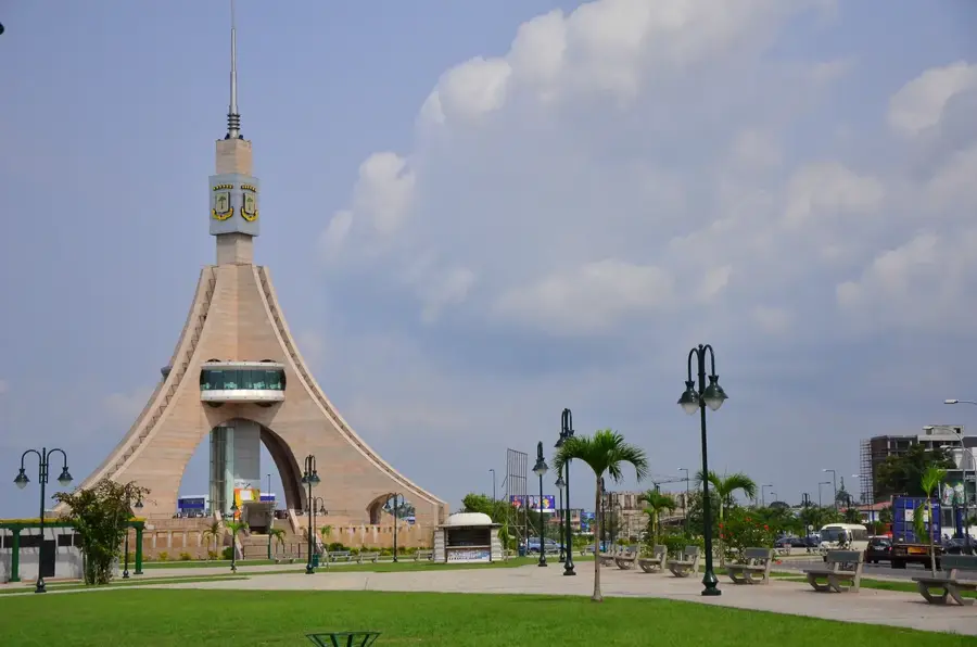
Explore nearby
Notable places around
Route planner — Car & Motorhome
Where do you start? We build the route here, with stops and country notes along the way.
© OpenStreetMap contributors · OpenRouteService
Sights in the town Lighthouse of Punta Unidad (1)
Sights nearby
Frequently asked questions
Where is the Punta Unidad lighthouse located?
Can you climb the lighthouse?
What can you see from there?
Is the site accessible by car?
When is the best time to visit?
Lighthouse of Punta Unidad: where is it located?
Lighthouse of Punta Unidad: when is the best time to visit?
Lighthouse of Punta Unidad: why is it worth visiting?

Nearby cities


History & landmarks
Nature

More places