Plizio Visual Lab
Cupapa

ℹ️Practical info — Cupapa
▾
🌤 Weather — 5 days
📍 Nearby
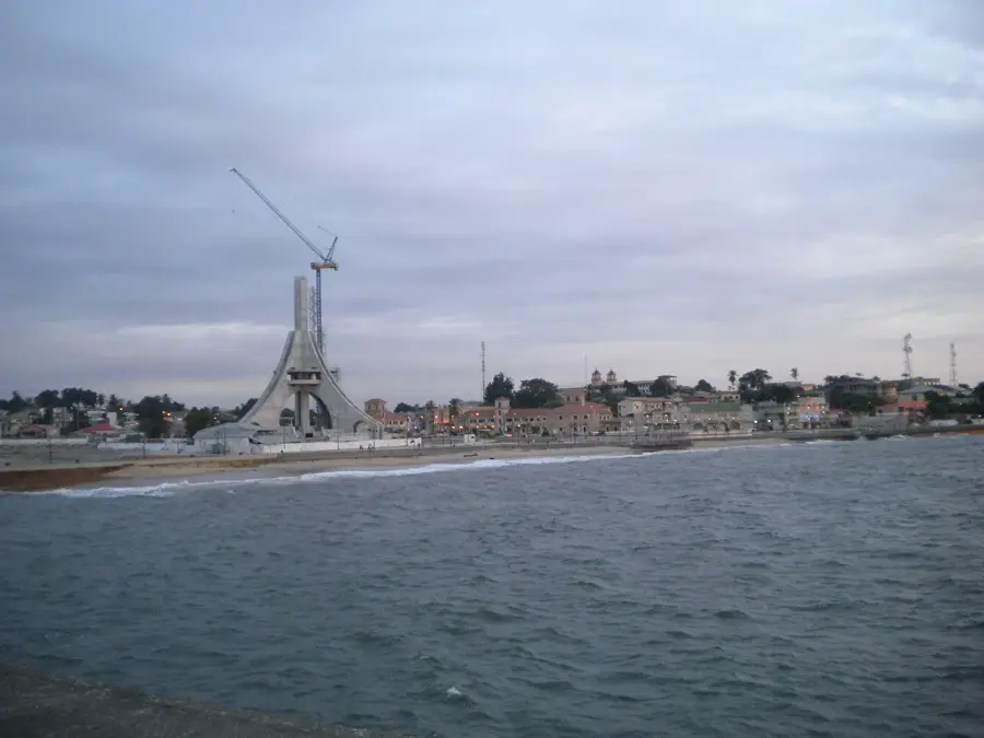
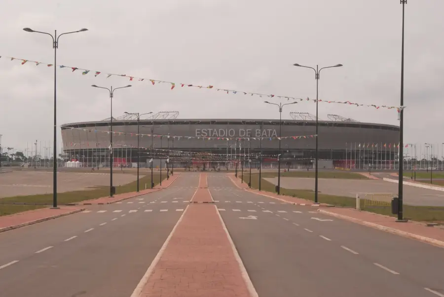
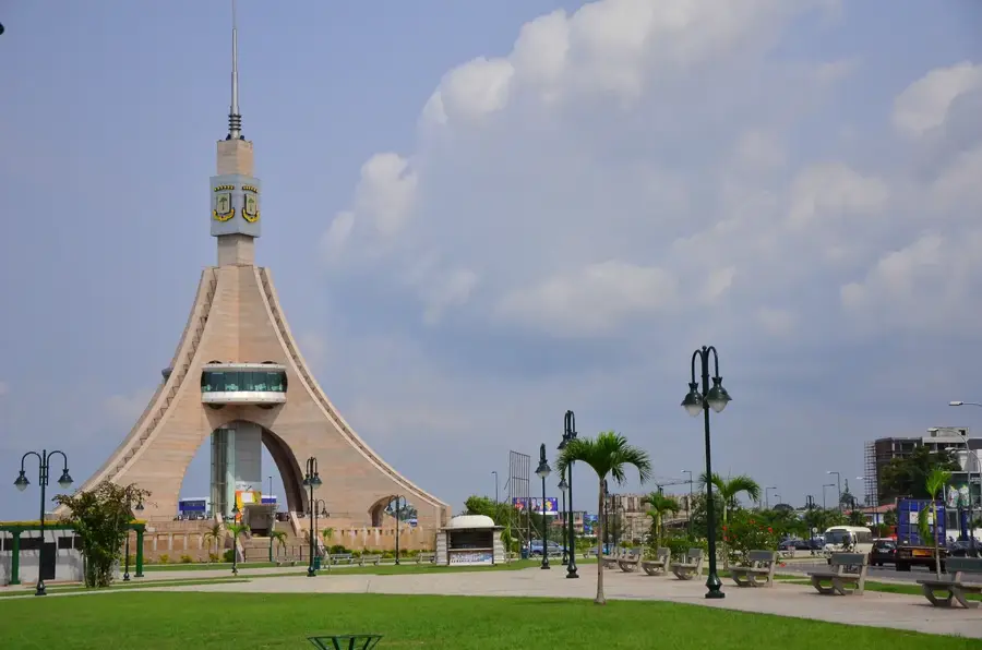
Sights nearby
💡 Tips
- Cupapa is a remote rural village; a robust 4x4 vehicle is mandatory for the unpaved forest roads.
- Bring all essential supplies, including bottled water, snacks, and medications, directly from Bata.
- Respect local village dynamics by formally greeting the village elder or chief upon arrival.
- Electricity and mobile signal may be intermittent or completely unavailable; be prepared to go off-grid.
🍽 Food
A rich peanut soup typically made with local bushmeat or chicken, served by local families if arranged.
The core staple foods accompanying almost every rural meal.
Locally tapped traditional wine, often shared during communal village gatherings.
🛍 Shopping · 🧘 Quiet spots
Purchase bananas, yams, and seasonal fruits directly from the villagers' small roadside setups.
Occasionally, villagers may sell small hand-carved wooden utility items.
Take a guided walk with a local into the dense forest for an immersive and quiet nature experience.
Experience the profound stillness of rural life during the hot mid-day hours.
Water temperature…
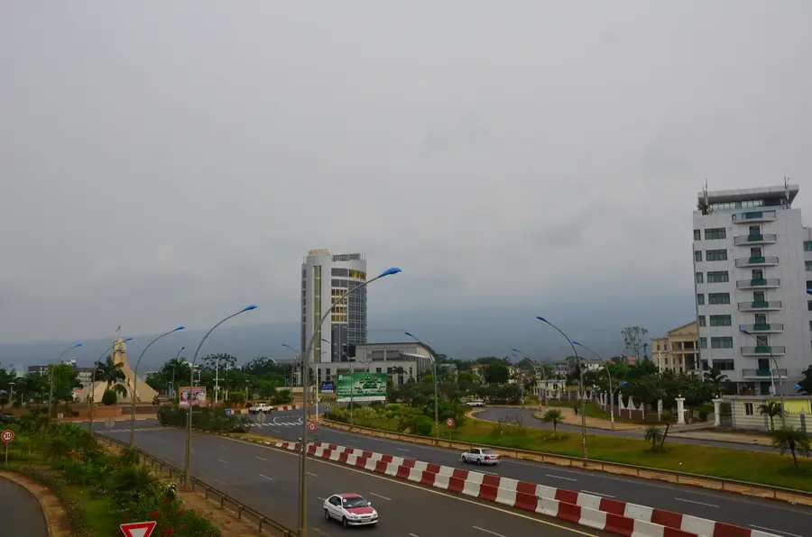
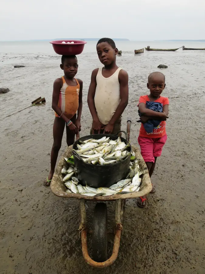
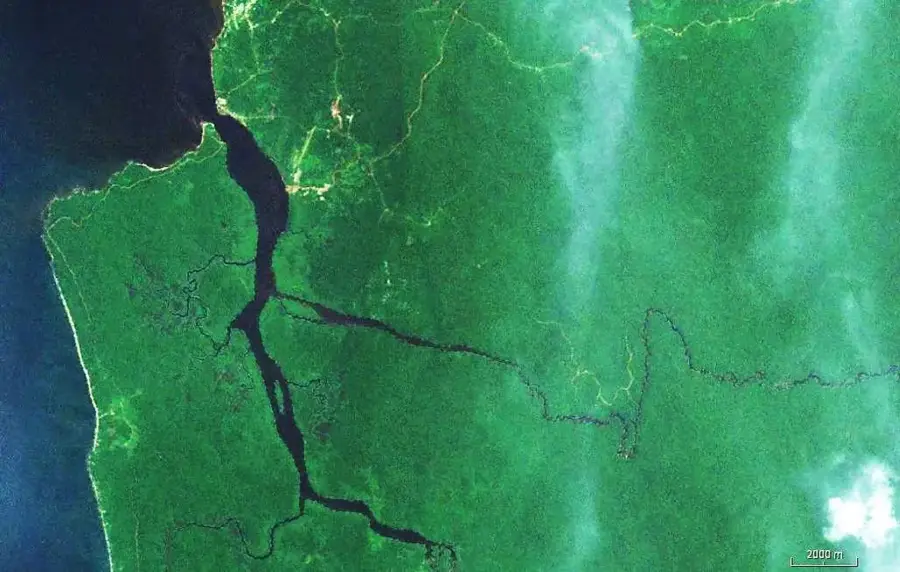
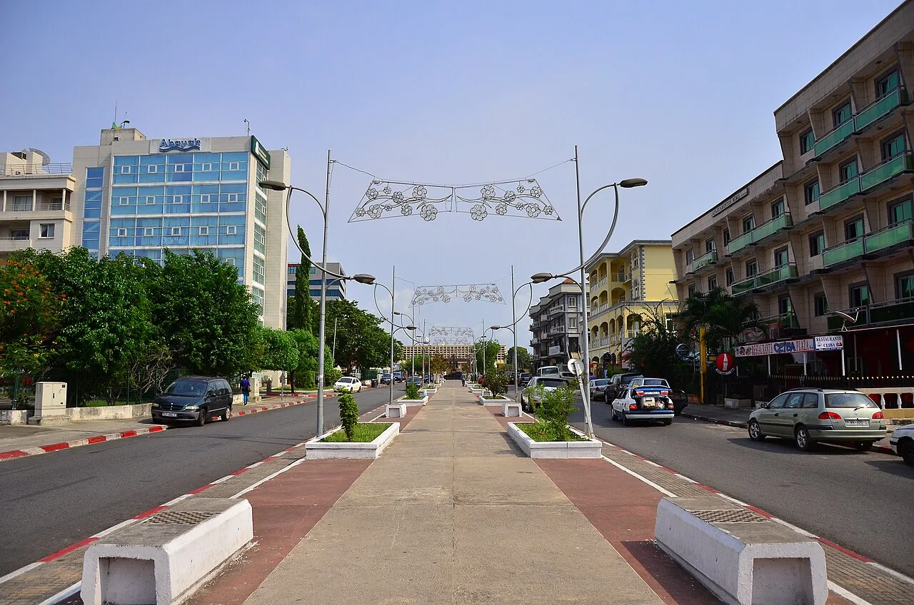
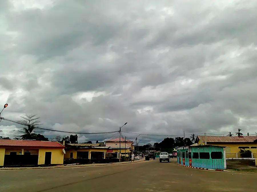
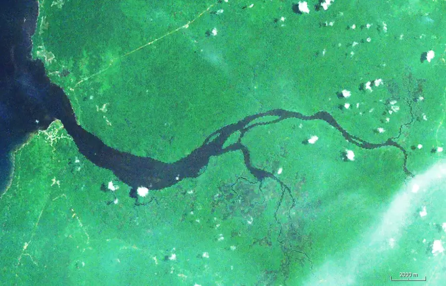
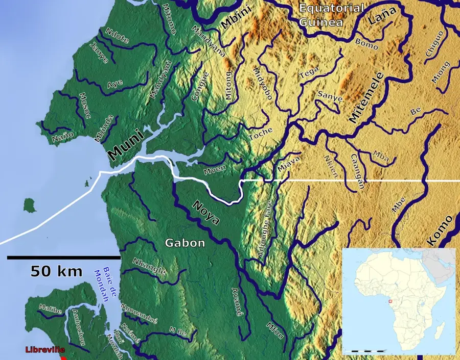
Cupapa is a rural village located in the coastal region of Rio Muni, south of the major city of Bata. It serves as a center for local small-scale farming, where the fertile soil supports a variety of tropical crops including cassava, peanuts, and various fruits. The village is surrounded by a rich tropical flora, with the landscape dominated by secondary forests and small plantations. Cupapa's community is primarily Fang, and life follows a traditional rhythm centered around the agricultural cycles. The village's proximity to the coastal highway has improved its ability to transport produce to markets in Bata, contributing to the local economic stability and improving access to essential services. Curriculum: Geography K6, Economics K7.
- Location: Equatorial Guinea
- Nearby: Bitica (16 km)
Best time to visit & climate
The most pleasant time to visit is Jun–Aug.
| Jan | Feb | Mar | Apr | May | Jun | Jul | Aug | Sep | Oct | Nov | Dec | |
|---|---|---|---|---|---|---|---|---|---|---|---|---|
| Avg °C | 27 | 27 | 28 | 28 | 27 | 26 | 25 | 25 | 26 | 26 | 26 | 27 |
| Rain mm | 199 | 185 | 288 | 267 | 219 | 70 | 32 | 48 | 158 | 378 | 386 | 222 |
Geography
Facts
- Rural village located south of Bata in Rio Muni.
- Center for local small-scale agricultural production.
- Main crops include cassava, peanuts, and tropical fruits.
- Surrounded by a landscape rich in tropical flora.
- Primary population belongs to the Fang ethnic group.
- Benefits from proximity to the coastal transportation network.
- Economy is closely tied to the regional markets in Bata.
Explore nearby
Notable places around
Route planner — Car & Motorhome
Where do you start? We build the route here, with stops and country notes along the way.
© OpenStreetMap contributors · OpenRouteService
Frequently asked questions
What is the climate like in Cupapa?
What can you do in Cupapa?
Is there public transport?
Is tap water drinkable?
What are the accommodations like?
Cupapa: where is it located?
Cupapa: when is the best time to visit?
Cupapa: why is it worth visiting?

Nearby cities


History & landmarks
Nature
More places