Plizio Visual Lab
Cogo

ℹ️Practical info — Cogo
▾
🌤 Weather — 5 days
📍 Nearby
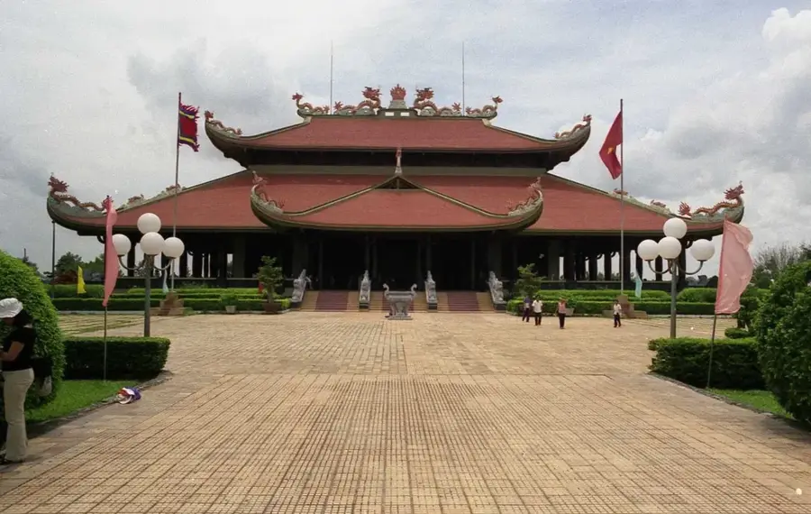
Sights nearby
💡 Tips
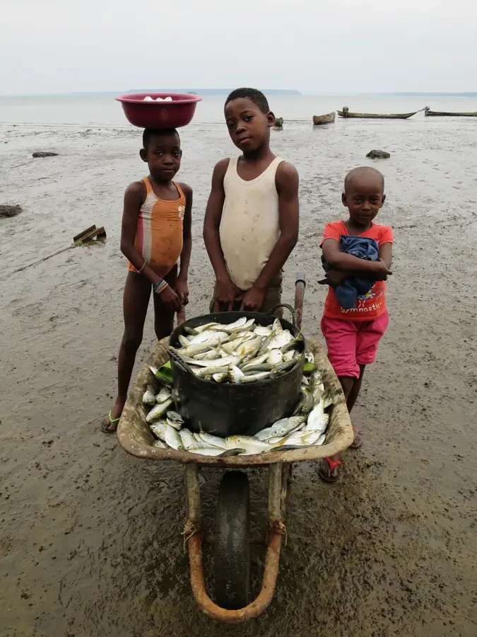
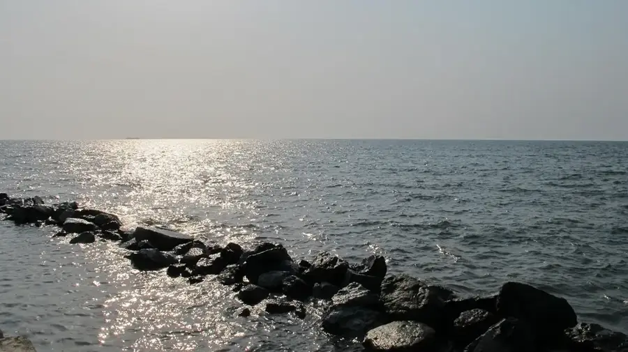
- Cogo is located on the Muni Estuary; negotiating a boat ride to explore the waters or nearby Corisco Island is a must-do.
- Keep your passport and documents handy, as there are often police checkpoints on the roads leading into town.
- Spanish is the official language; brush up on your basics, as English is rarely spoken.
- Malaria is a risk in this region; use a good quality mosquito repellent and sleep under a net if provided.
🍽 Food
Enjoy fresh catches of the day, often prepared with a flavorful tomato and onion sauce at small local restaurants.
A rich and hearty soup made from ground peanuts, typically served with fish or meat and plantains.
The standard local side dishes; look for them boiled or fried accompanying almost any main meal.
🛍 Shopping · 🧘 Quiet spots
The central spot to buy fresh produce, locally caught fish, and basic daily goods.
Occasionally, you can find artisans selling traditional Fang wood carvings or woven baskets near the market area.
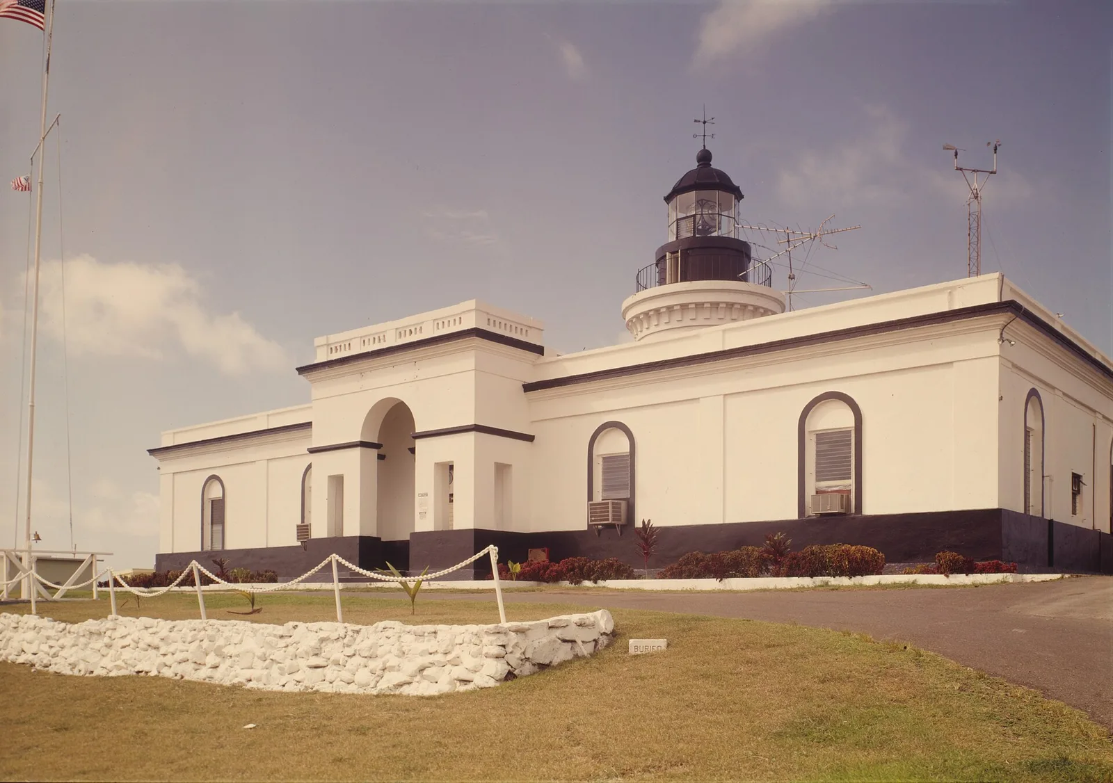
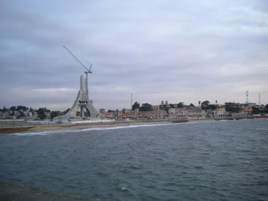
Walk along the waterfront to see the decaying remains of Spanish colonial architecture overlooking the serene estuary.
Find a quiet spot along the riverbank at sunset to watch the local fishermen in their wooden canoes.
Water temperature…
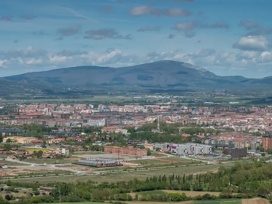
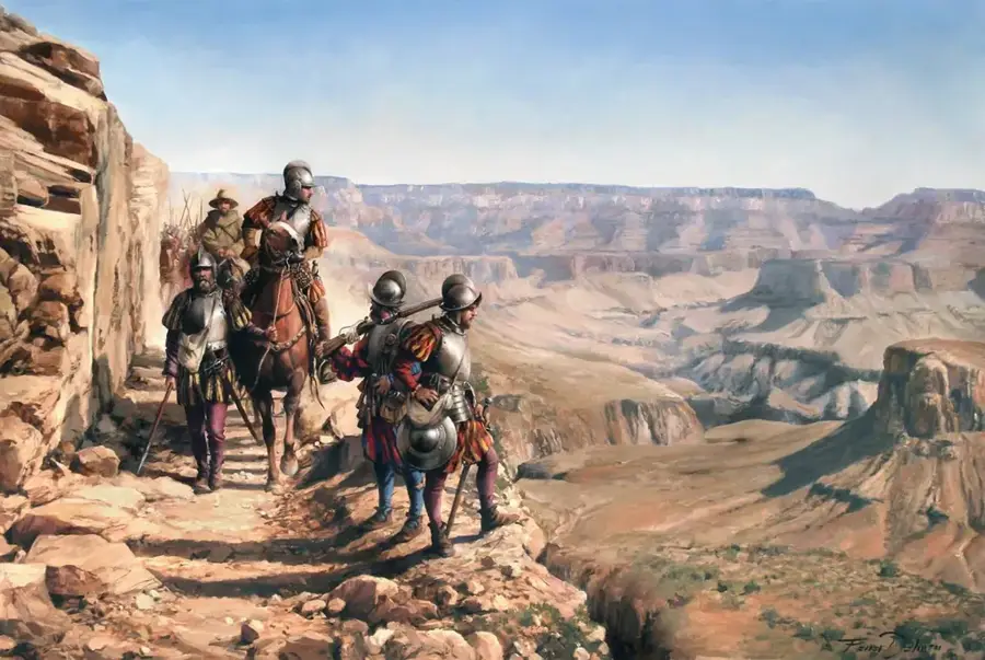
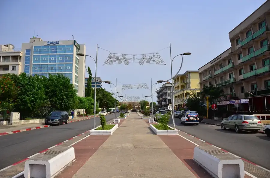
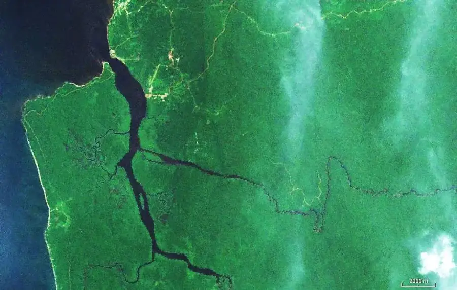
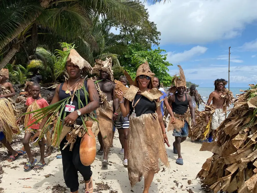
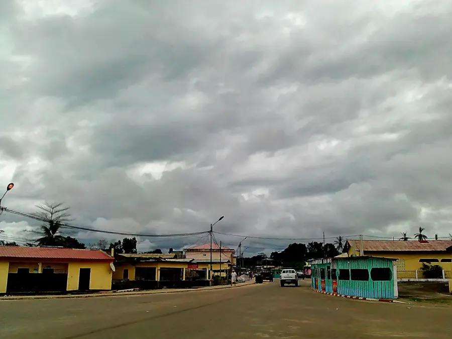
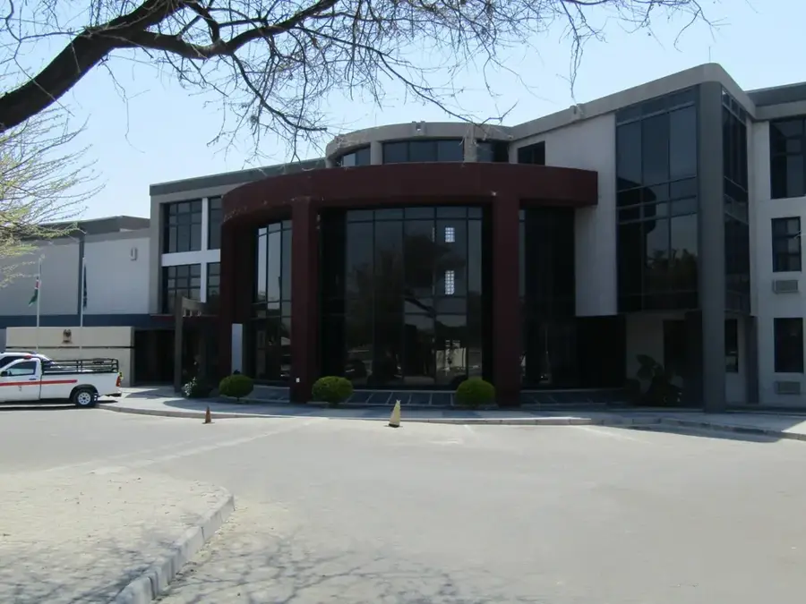
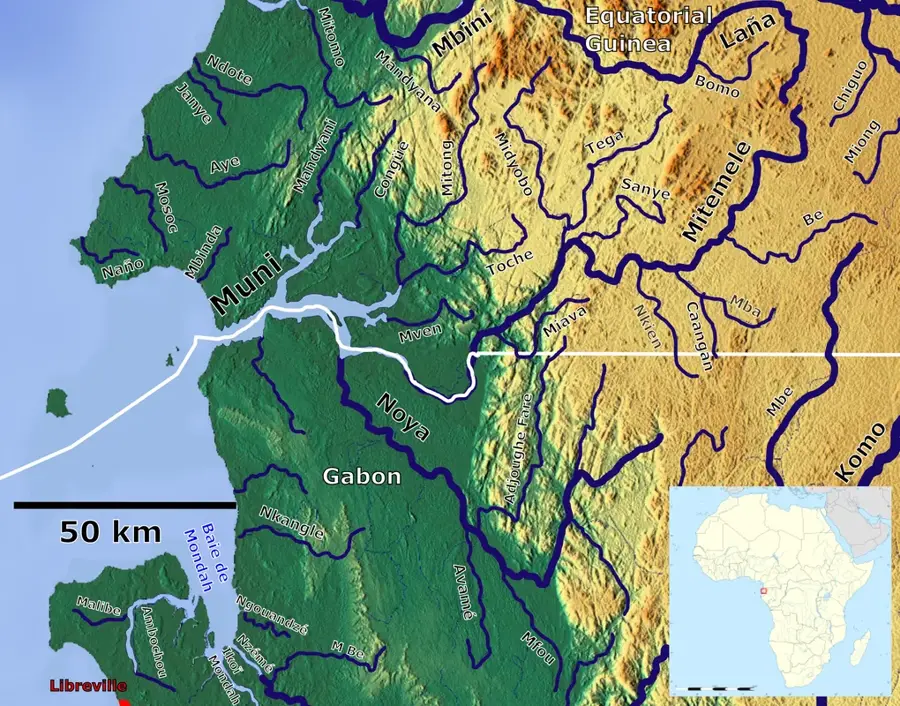
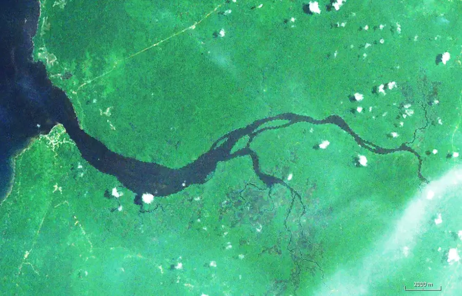
Cogo, historically known as Puerto Iradier, is a pretty coastal town located in the southern part of the Litoral Province in Equatorial Guinea. It is situated on the vast estuary of the Muni River, directly across from the border with Gabon, and is famous for its well-preserved Spanish colonial architecture. The name Puerto Iradier honors the Spanish explorer Manuel Iradier, who explored and mapped the region in the late 19th century. The town was once a thriving center for the export of tropical timber and agricultural goods, but today it has transitioned into a quieter settlement known for its historical charm and natural scenery. The geographical setting features extensive mangrove swamps and diverse birdlife, making the area a potential hub for ecotourism. In terms of infrastructure, Cogo is connected to the city of Bata by a modern highway, which has significantly enhanced its accessibility. The local culture is a unique blend of colonial heritage and the enduring traditions of the Fang and Ndowe ethnic groups.
- Location: Equatorial Guinea
- Top sights: Cogo, Equatorial Guinea · Congue River
- Nearby: Cabo San Juan (40 km)
- Population: ~4.607 (2018)
Best time to visit & climate
The most pleasant time to visit is Jun–Aug.
| Jan | Feb | Mar | Apr | May | Jun | Jul | Aug | Sep | Oct | Nov | Dec | |
|---|---|---|---|---|---|---|---|---|---|---|---|---|
| Avg °C | 27 | 27 | 28 | 27 | 27 | 26 | 25 | 25 | 25 | 26 | 26 | 27 |
| Rain mm | 218 | 199 | 297 | 260 | 206 | 50 | 21 | 35 | 140 | 375 | 400 | 234 |
Geography
Facts
- Formerly known as Puerto Iradier.
- Located on the Muni River estuary.
- Renowned for its Spanish colonial architecture.
- Named after the explorer Manuel Iradier.
- Situated directly opposite the border with Gabon.
- A significant center for the Ndowe culture.
Explore nearby
Notable places around
Route planner — Car & Motorhome
Where do you start? We build the route here, with stops and country notes along the way.
© OpenStreetMap contributors · OpenRouteService
Sights in the town Cogo (2)
Frequently asked questions
What is special about Cogo?
Can you go birdwatching in Cogo?
How do you get from Bata to Cogo?
Are there boat trips available?
Is there accommodation in Cogo?
Cogo: where is it located?
Cogo: what is there to see?
Cogo: when is the best time to visit?
Cogo: why is it worth visiting?

Nearby cities


History & landmarks
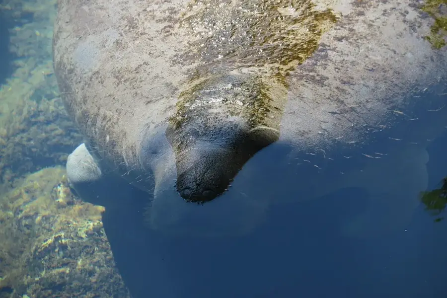
Nature
More places