Plizio Visual Lab
Bata
ℹ️Practical info — Bata
▾
🌤 Weather — 5 days
📍 Nearby
Sights nearby
💡 Tips
- Spanish is the official language, so knowing some basic phrases is essential as English is rarely spoken.
- Cash is king here; ATMs can be unreliable and credit cards are rarely accepted outside large hotels.
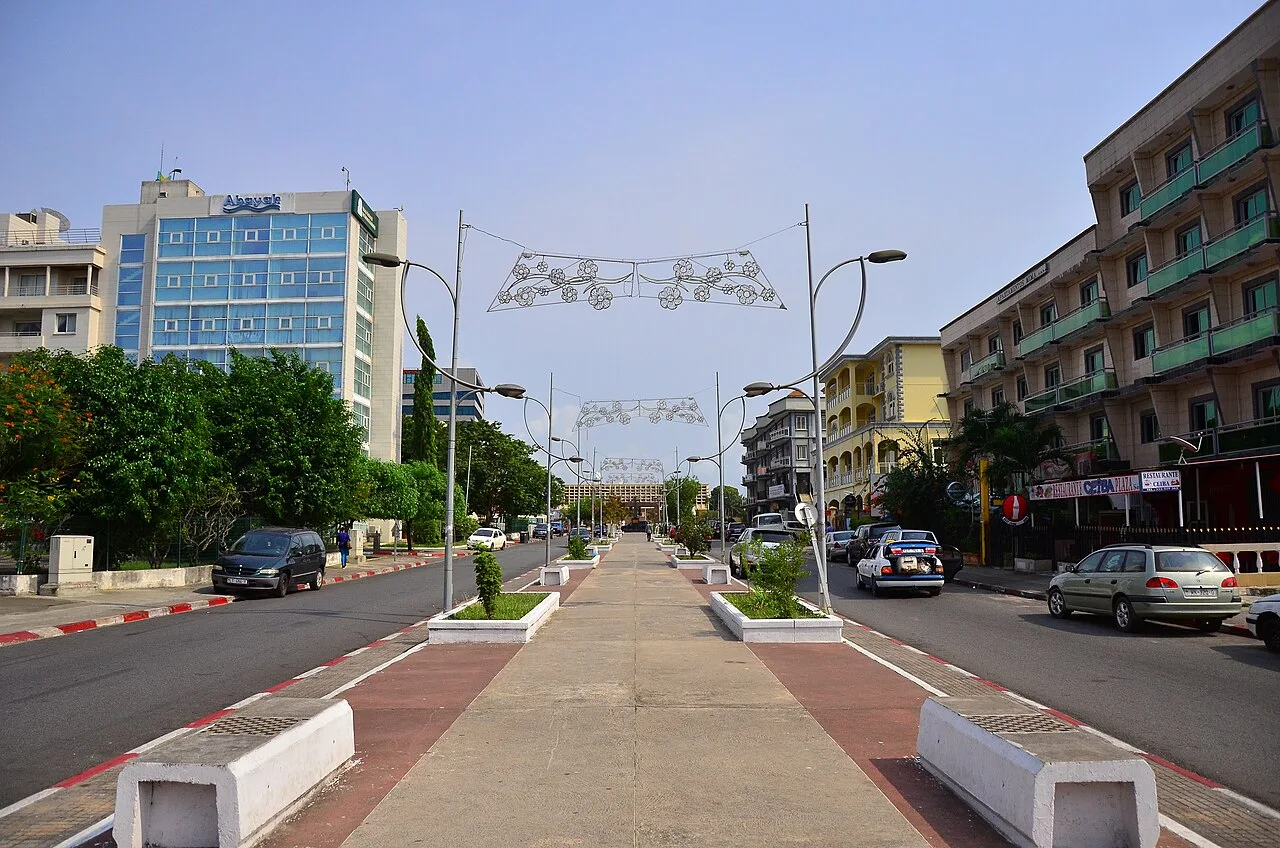
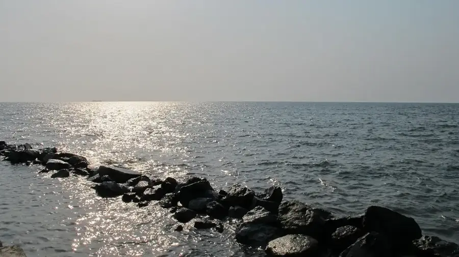
- A stroll along the Paseo Maritimo is a must, but it's best enjoyed in the cooler late afternoon.
- Taxis are the main way to get around; agree on the fare before starting your journey.
🍽 Food
A rich peanut soup often served with fish or meat, available at traditional local eateries.
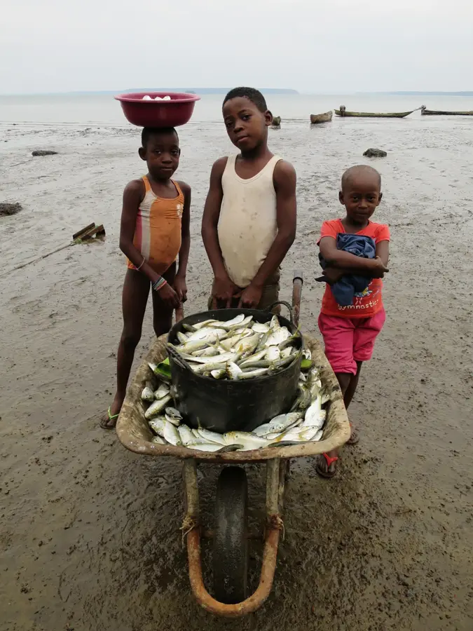
Try freshly caught fish grilled over an open fire at one of the rustic beachside spots.
A traditional local sugarcane brew, often found in smaller neighborhood bars.
🛍 Shopping · 🧘 Quiet spots
An animated market to buy fresh produce, local spices, and colorful African fabrics.
Look for local artisans selling traditional wooden masks and sculptures near the central market area.
Take a peaceful walk along the waterfront promenade enjoying the ocean breeze.
A surprisingly calm square near the center to sit and watch the world go by.
Water temperature…
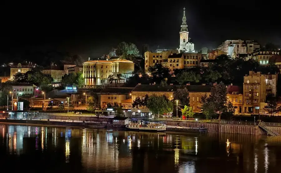
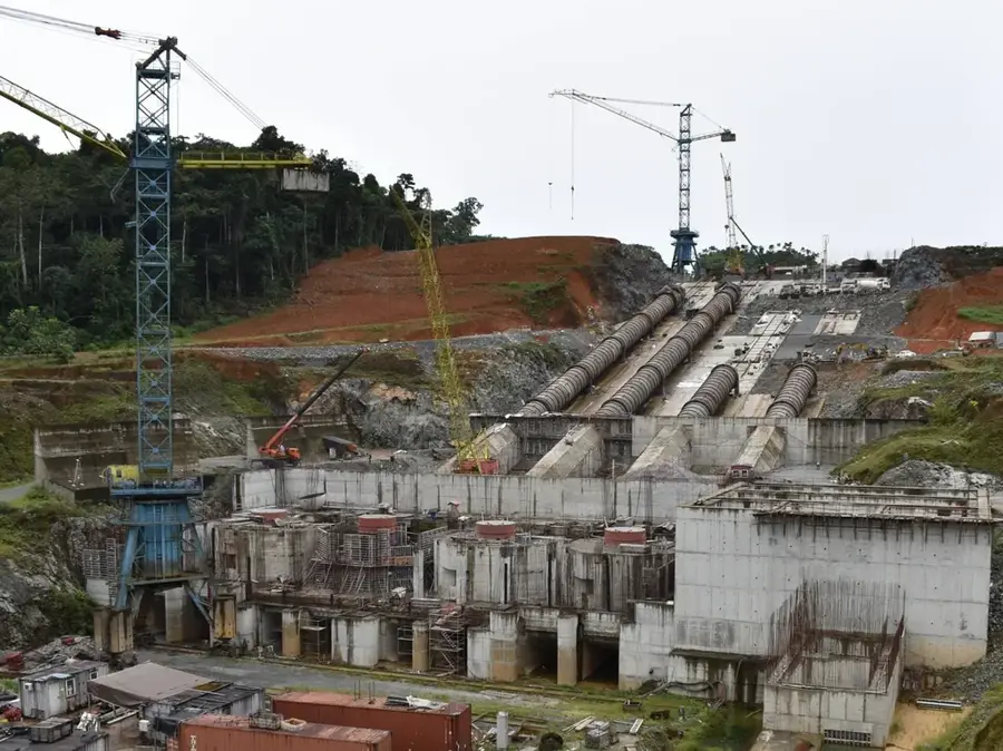
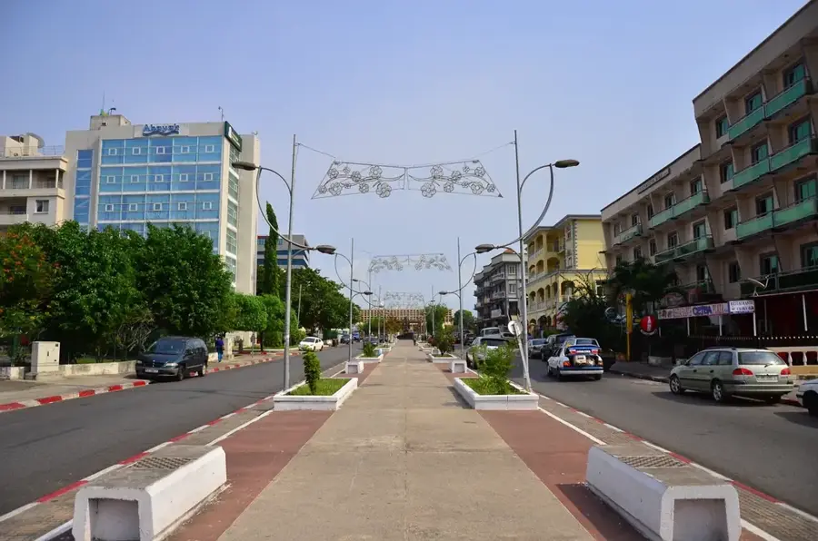
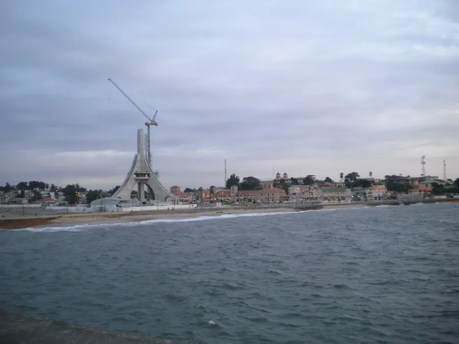
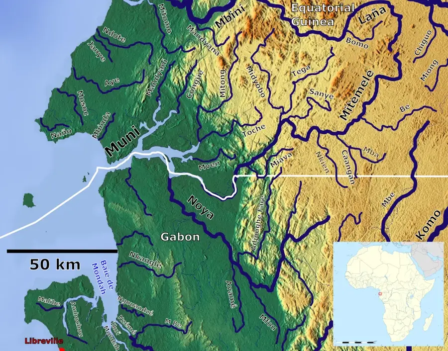
Bata stands as the largest city in Equatorial Guinea and the undisputed economic powerhouse of the mainland region, known as Rio Muni. Perched on the Atlantic coast, the city serves as a critical maritime gateway for the nation, with its extensively modernized port handling the bulk of regional exports, including tropical timber and agricultural commodities. The skyline of Bata has been dramatically reshaped over the past two decades, fueled by the country's hydrocarbon wealth, leading to the creation of the scenic Paseo Marítimo, a multi-kilometer waterfront promenade that reflects the city's modern aspirations. Historically, Bata was a colonial administrative center under Spanish rule, and remnants of that era still linger in the central district's layout and some architectural details. Today, the city is an animated educational hub, hosting key faculties of the National University of Equatorial Guinea, which draws students from across the mainland. The population is predominantly of the Fang ethnic group, but the city’s commercial success has attracted a diverse community of expatriates and traders from neighboring West and Central African nations. Transportation infrastructure is a standout feature, with the Bata International Airport and a network of high-quality highways connecting the coast to the interior borders with Gabon and Cameroon. Religious life is centered around the imposing Bata Cathedral, a symbol of the deep-rooted Catholic faith in the region. Despite the rapid urbanization, traditional markets like the Central Market remain the soul of the city, offering a sensory explosion of local produce, textiles, and social interaction. Bata's role as a bridge between the island-based political capital of Malabo and the resource-rich interior makes it a strategic focal point for national development and a primary engine for the country's non-oil economic diversification efforts.
- Location: Equatorial Guinea
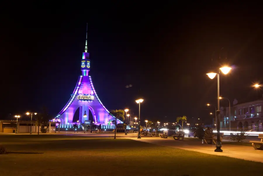
- Top sights: Plaza de la Libertad · Torre del Reloj · Catedral de Santiago Apóstol y Ntra. Sra. del Pilar
- Nearby: Bata-manga (8 km)
- Population: ~173.046 (2019)
Best time to visit & climate
The most pleasant time to visit is Jun–Aug.
| Jan | Feb | Mar | Apr | May | Jun | Jul | Aug | Sep | Oct | Nov | Dec | |
|---|---|---|---|---|---|---|---|---|---|---|---|---|
| Avg °C | 25 | 26 | 26 | 26 | 26 | 25 | 24 | 24 | 24 | 25 | 25 | 25 |
| Rain mm | 152 | 153 | 266 | 265 | 225 | 116 | 62 | 86 | 192 | 369 | 349 | 179 |
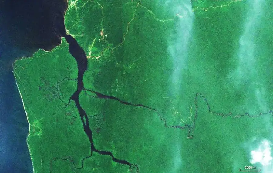
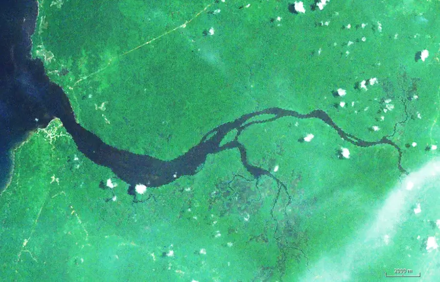
Geography
Facts
- Largest city in the country, surpassing the capital Malabo.
- Capital of the Litoral Province on the Atlantic coast.
- Features a deep-water port vital for regional trade.
- Home to the Bata International Airport (IATA: BSG).
- The city’s waterfront promenade is a major tourist landmark.
- Serves as the mainland's primary educational and judicial hub.
- Located at coordinates 1.8639° N, 9.7658° E.
- The Catholic Cathedral of St. James is a key religious site.
Explore nearby
Notable places around
Route planner — Car & Motorhome
Where do you start? We build the route here, with stops and country notes along the way.
© OpenStreetMap contributors · OpenRouteService
Sights in the town Bata (6)
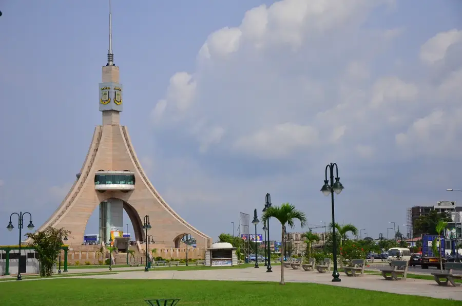
Torre de la Libertad
Monument in Bata, Equatorial Guinea, a tower structure.
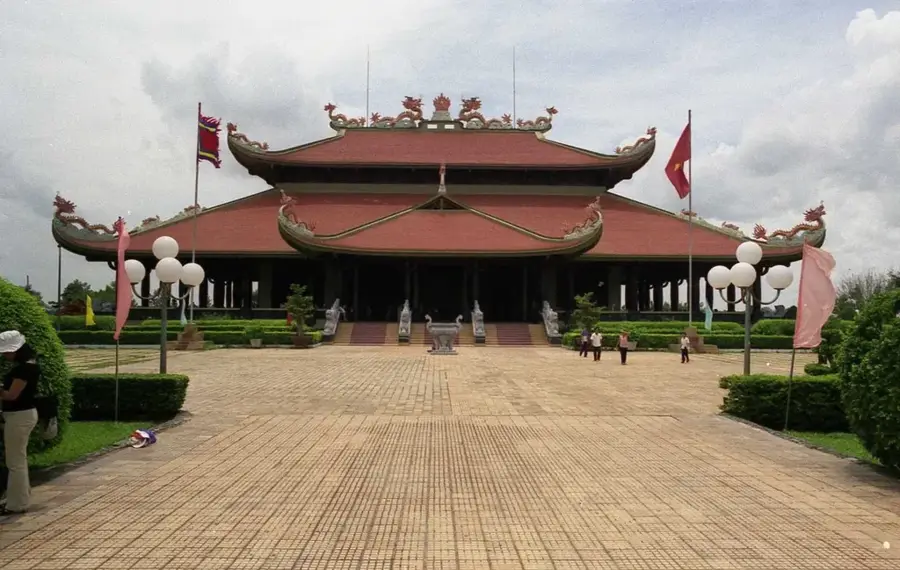
Pueblo Bisio (Bingunli) Fug-Wundi Lia
Monument near Bata, commemorating the local community.
Frequently asked questions
How many days should you spend in Bata?
When is the best time to visit Bata?
What is the best way to get to Bata?
Which local dish should I try?
Is Bata family-friendly?
Bata: where is it located?
Bata: what is there to see?
Bata: when is the best time to visit?
Bata: why is it worth visiting?

Nearby cities


History & landmarks
Nature

More places