Plizio Visual Lab
Mbini

ℹ️Practical info — Mbini
▾
🌤 Weather — 5 days
📍 Nearby
Sights nearby
💡 Tips
- Take the ferry across the Benito River; the views of the estuary are spectacular.
- Bring a power bank, as power outages can be frequent in this coastal town.
- A strong insect repellent is essential, especially in the evening near the water.
- While Spanish is spoken, greeting locals with a friendly 'Mbolo' (Fang for hello) is highly appreciated.
🍽 Food
The fresh catch of the day, best enjoyed at the casual eateries right along the riverbank.
A spicy, flavorful fish or meat broth, well-suited for a breezy evening on the coast.
Try this local sugarcane wine at one of the small village bars.
🛍 Shopping · 🧘 Quiet spots
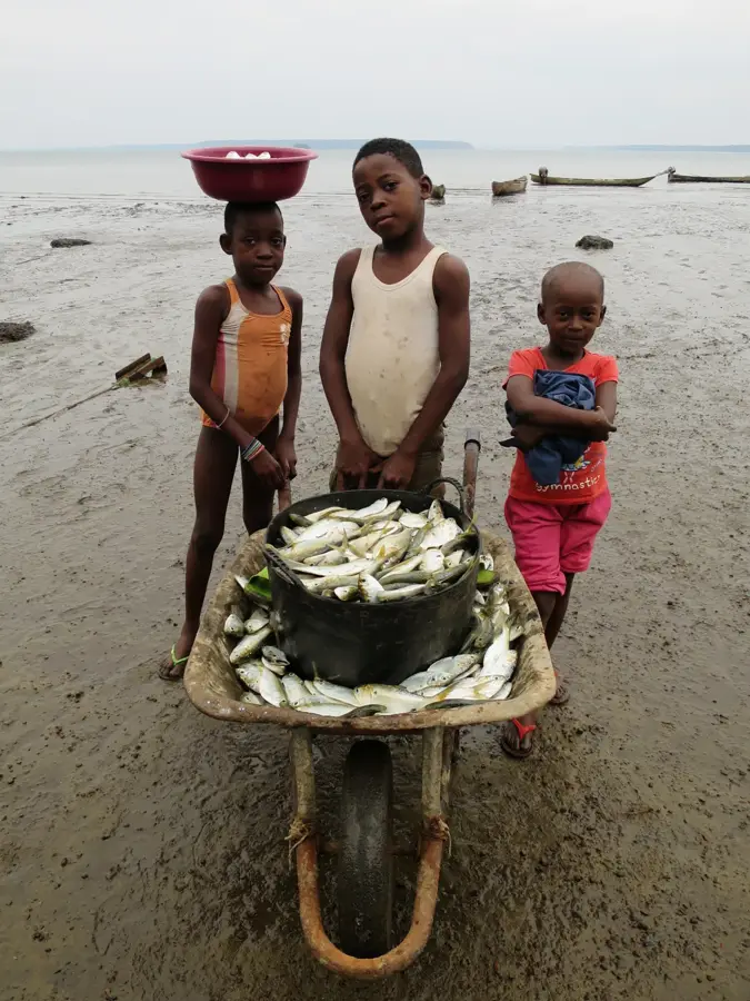
Head to the docks early in the morning to see the fishermen returning with their daily catch.
Look for local artisans selling hand-woven baskets and bags around the town center.
Walk south of the center to find empty, quiet stretches of beach along the Atlantic.
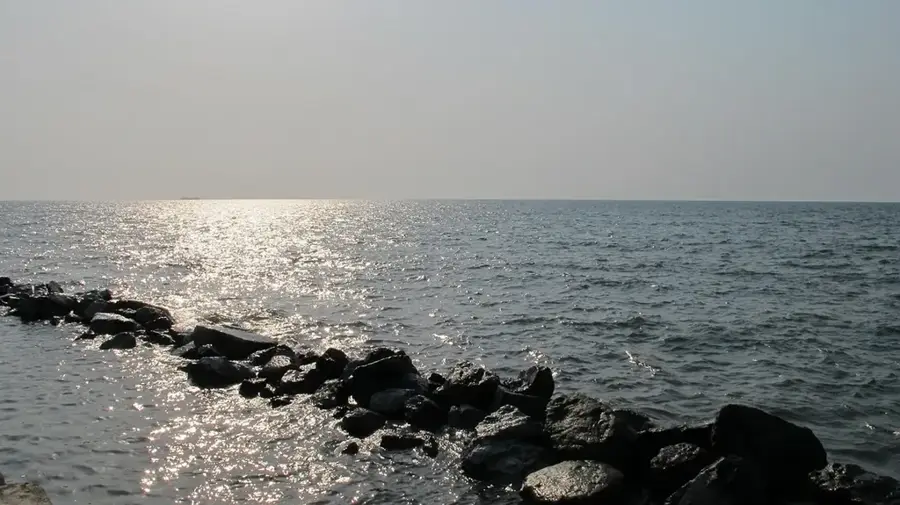
A peaceful spot to sit and watch the waters of the Benito River meet the open ocean.
Water temperature…
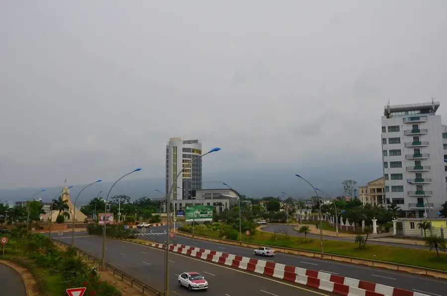
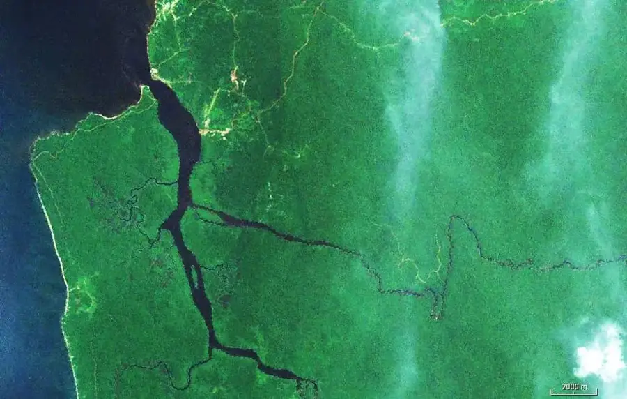
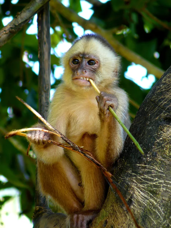
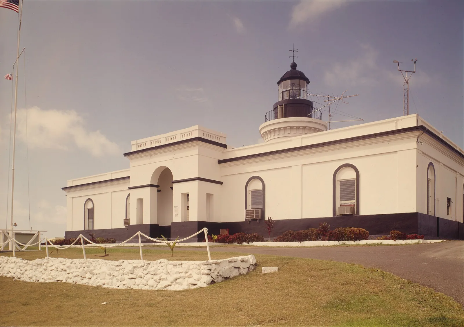
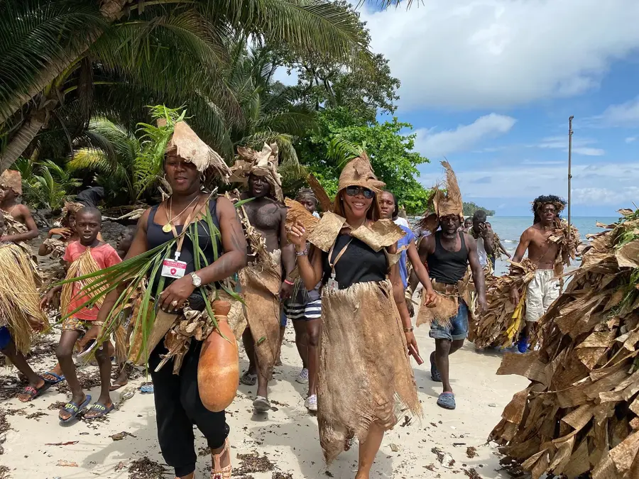
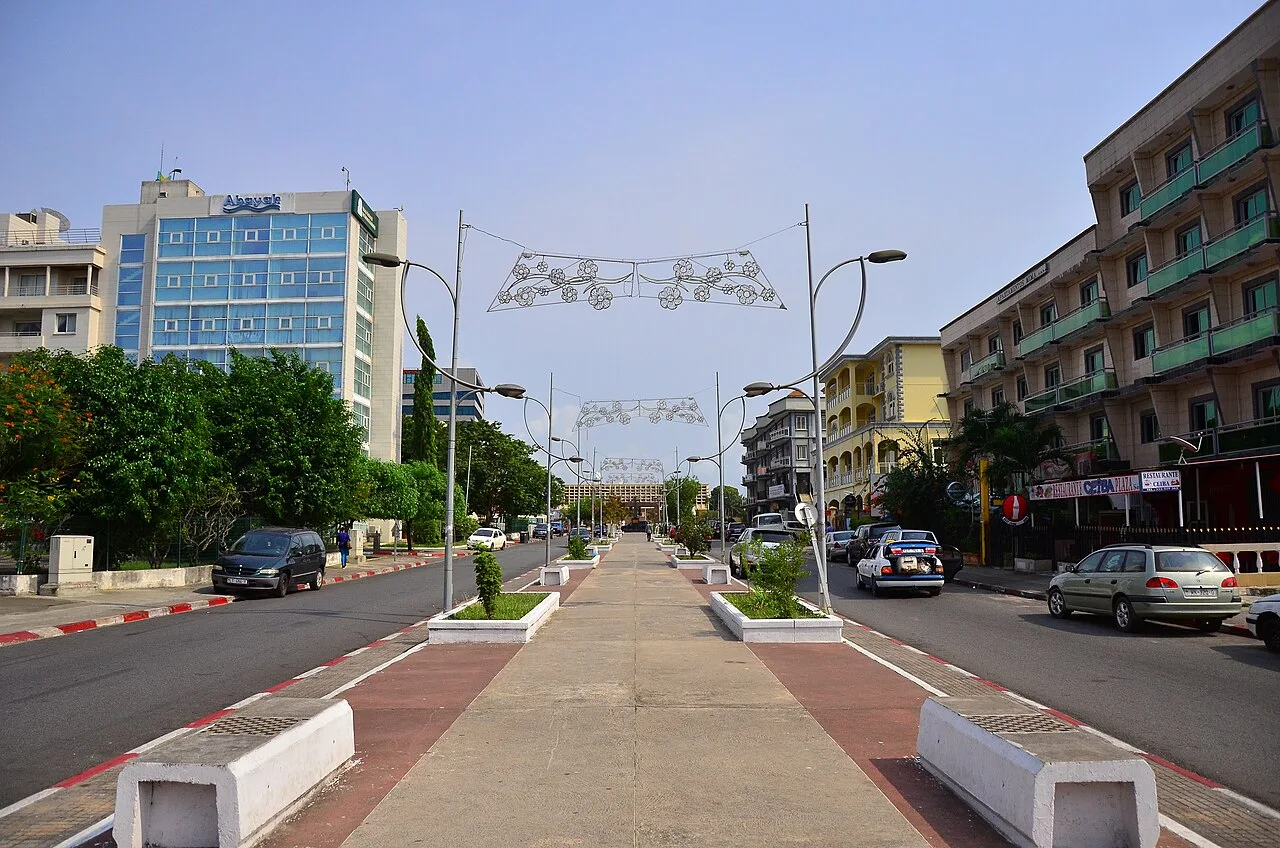
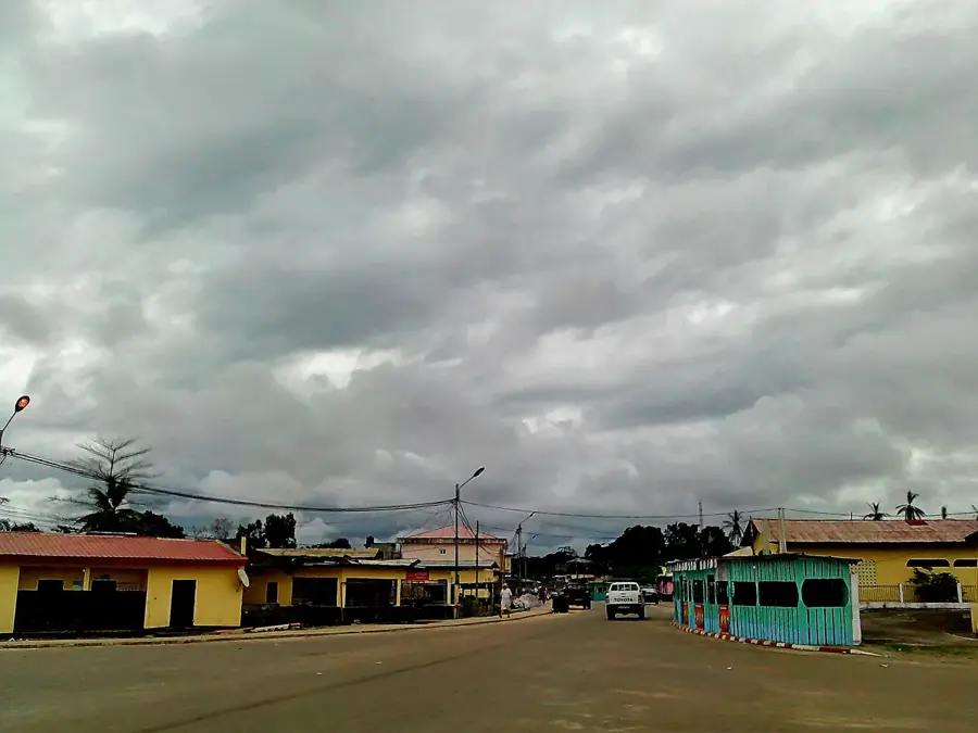
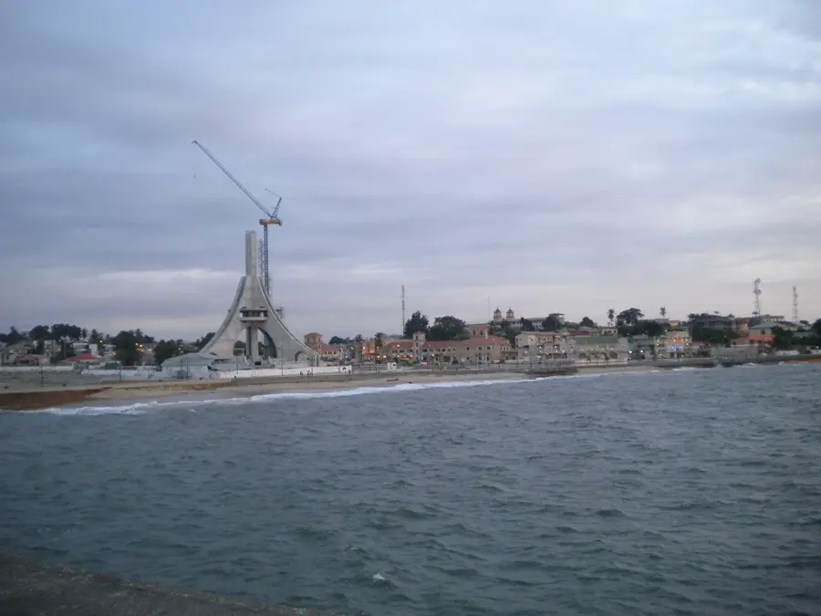
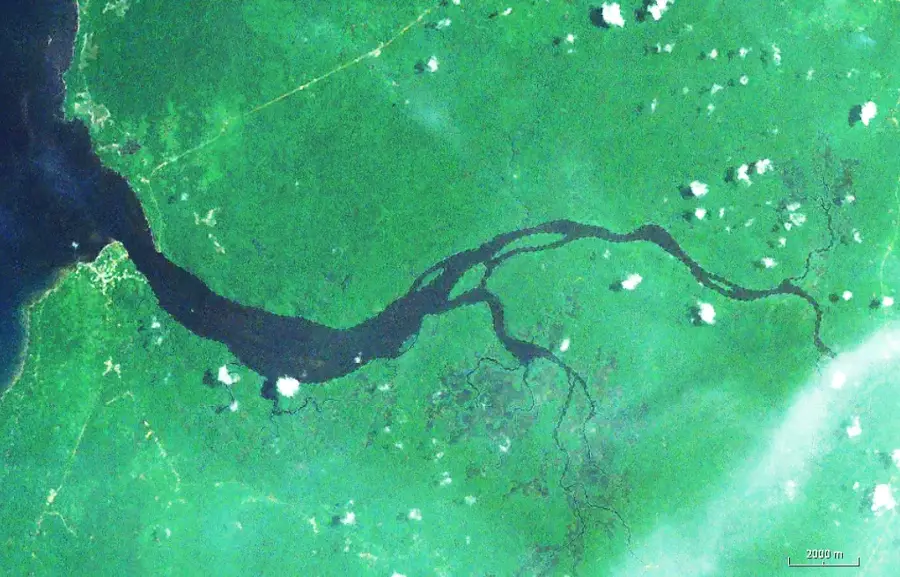
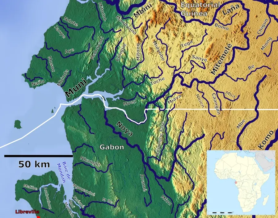
Mbini is a strategically significant coastal town located in the Litoral Province of Equatorial Guinea, situated at the mouth of the Benito River where it meets the Atlantic Ocean. Historically, the settlement served as a vital outpost during the Spanish colonial period, acting as a gateway for timber and agricultural products sourced from the Rio Muni interior. A landmark engineering feat in the region is the Mbini Bridge, inaugurated in 2012, which spans over 1,000 meters across the river's estuary, drastically improving connectivity between the city of Bata and the southern borders. The geographical setting is characterized by a mix of dense mangroves, pristine sandy coastlines, and the dynamic tidal influence of the Atlantic. Economically, the town relies on artisanal fishing and regional commerce, while also functioning as the administrative headquarters for its namesake district. Culturally, the area is a stronghold of the Fang people, whose traditional customs and social structures remain central to daily life despite ongoing urban modernization.
- Location: Equatorial Guinea
- Nearby: Bolondo (4 km)
- Population: ~4.062 (2014)
Best time to visit & climate
The most pleasant time to visit is Jun–Aug.
| Jan | Feb | Mar | Apr | May | Jun | Jul | Aug | Sep | Oct | Nov | Dec | |
|---|---|---|---|---|---|---|---|---|---|---|---|---|
| Avg °C | 27 | 27 | 28 | 28 | 27 | 26 | 25 | 25 | 26 | 26 | 26 | 27 |
| Rain mm | 199 | 185 | 288 | 267 | 219 | 70 | 32 | 48 | 158 | 378 | 386 | 222 |
Geography
Facts
- Located at the mouth of the Benito River.
- Part of the Litoral Province.
- The Mbini Bridge is 1,057 meters long.
- Modern infrastructure was largely expanded in 2012.
- Artisanal fishing is the primary economic activity.
- The Fang people constitute the majority of the population.
Explore nearby
Notable places around
Route planner — Car & Motorhome
Where do you start? We build the route here, with stops and country notes along the way.
© OpenStreetMap contributors · OpenRouteService
Frequently asked questions
What is Mbini known for?
Are there beaches in Mbini?
Can you go boating in Mbini?
How do you get from Bata to Mbini?
What is the best specialty in Mbini?
Mbini: where is it located?
Mbini: when is the best time to visit?
Mbini: why is it worth visiting?

Nearby cities


History & landmarks
Nature
More places