Plizio Visual Lab
Rumicucho Pucará
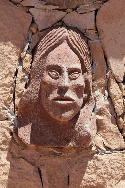
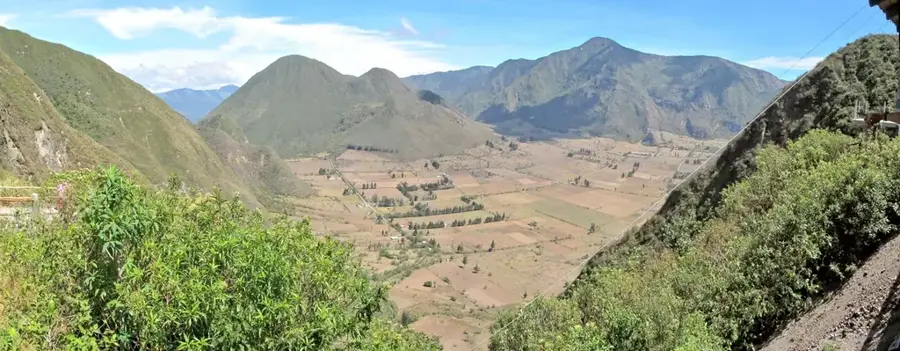
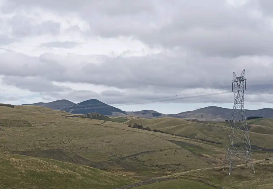
Pucará de Rumicucho is a significant Inca archaeological fortress and ceremonial site strategically located on a hill in the Lulumbamba Valley. Its name derives from Kichwa, meaning 'Stone Corner.' The site was constructed between 1480 and 1500 AD and served both military and religious purposes during the Inca expansion into the northern territories. It consists of five terraced levels stretching approximately 380 meters in length, precisely aligned with the cardinal points. Archaeologists believe Rumicucho also functioned as an astronomical observatory due to its alignment with the equinoxes. Finds of ceramics and tools indicate that the area was inhabited by local cultures long before the Inca arrival. The construction skillfully utilizes the natural terrain to maintain control over large sections of the valley. Today, the site gives visitors a deep insight into the logistical and spiritual organization of the Inca Empire.
- Location: Ecuador
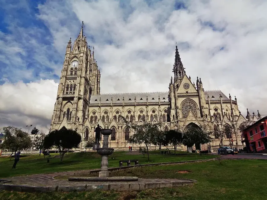
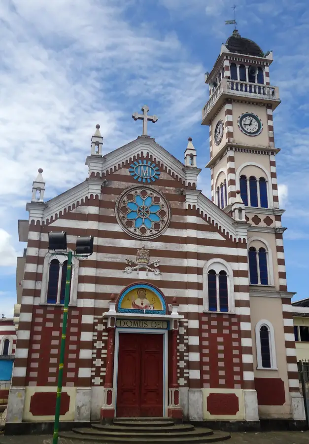
- Top sights: ENCAÑONADO DE LOS TAYOS "LOS LOPEZ" · PIRAMIDE DE ALCHIPICHI · CONEJO LOMA
- Nearby: Sangolquí (8 km)
Best time to visit & climate
The most pleasant time to visit is Jul–Sep.
| Jan | Feb | Mar | Apr | May | Jun | Jul | Aug | Sep | Oct | Nov | Dec | |
|---|---|---|---|---|---|---|---|---|---|---|---|---|
| Avg °C | 17 | 17 | 18 | 18 | 18 | 18 | 17 | 18 | 18 | 17 | 17 | 17 |
| Rain mm | 139 | 143 | 176 | 177 | 123 | 58 | 34 | 25 | 38 | 76 | 90 | 100 |
📋 Practical info
Geography
Facts
- Built during the reign of Tupaq Yupanki (1480-1500)
- Consists of 5 terraced levels on a 380-meter long hill
- The name means 'Stone Corner' in the Kichwa language
- Served as a control point for the road to Quito
- Constructed upon foundations of earlier local cultures
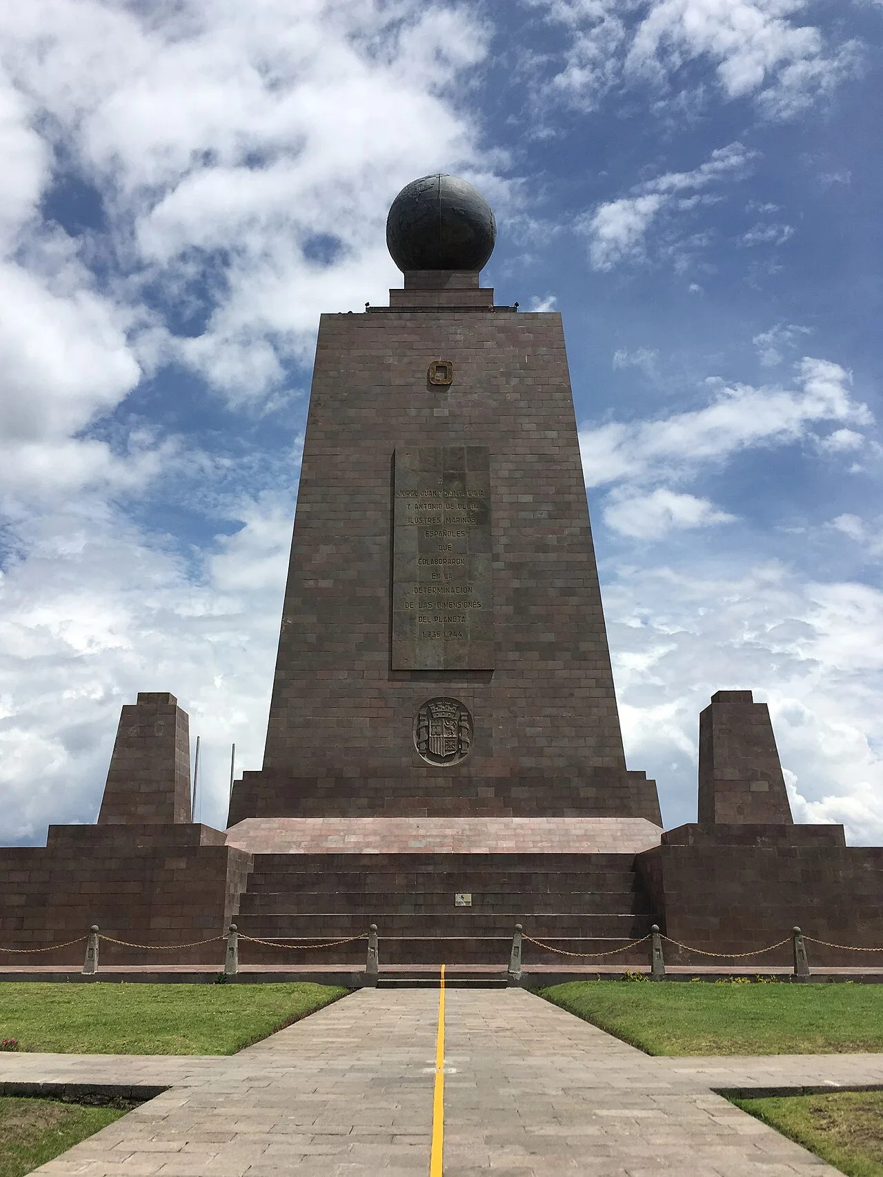
- Located only a few kilometers away from the Equator
Explore nearby
Notable places around
Route planner — Car & Motorhome
Where do you start? We build the route here, with stops and country notes along the way.
© OpenStreetMap contributors · OpenRouteService
Sights in the town Rumicucho Pucará (9)
Sights nearby
Frequently asked questions
What is Rumicucho?
Is the site wheelchair accessible?
How far is it from Quito?
Is photography allowed at the ruins?
What was this place used for?
Rumicucho Pucará: where is it located?
Rumicucho Pucará: what is there to see?
Rumicucho Pucará: when is the best time to visit?
Rumicucho Pucará: why is it worth visiting?

Nearby cities

History & landmarks
More places