Plizio Visual Lab
Ruwenzori Mountains

Weather…
Water temperature…
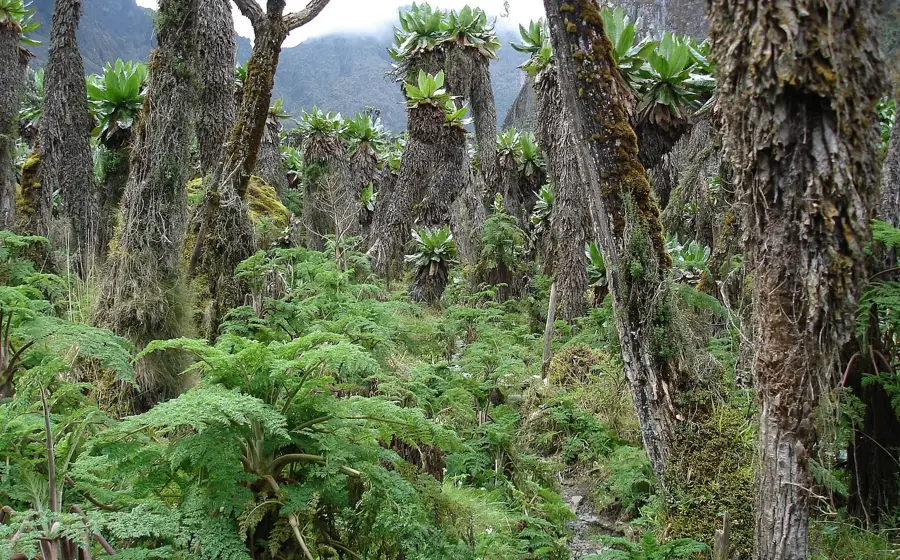
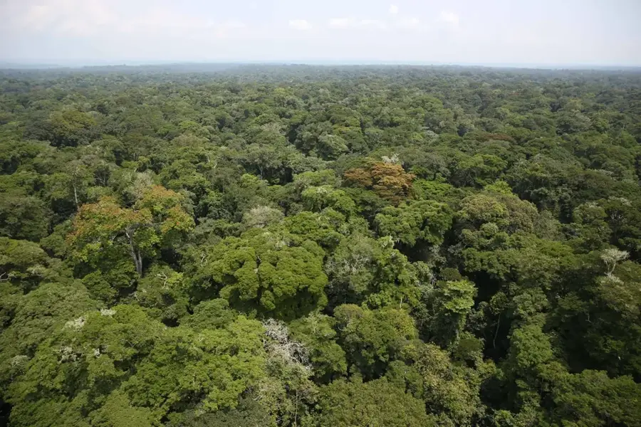
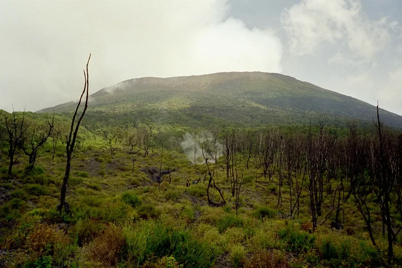
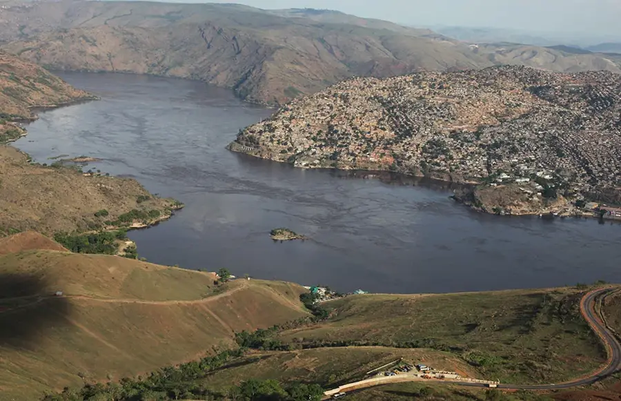
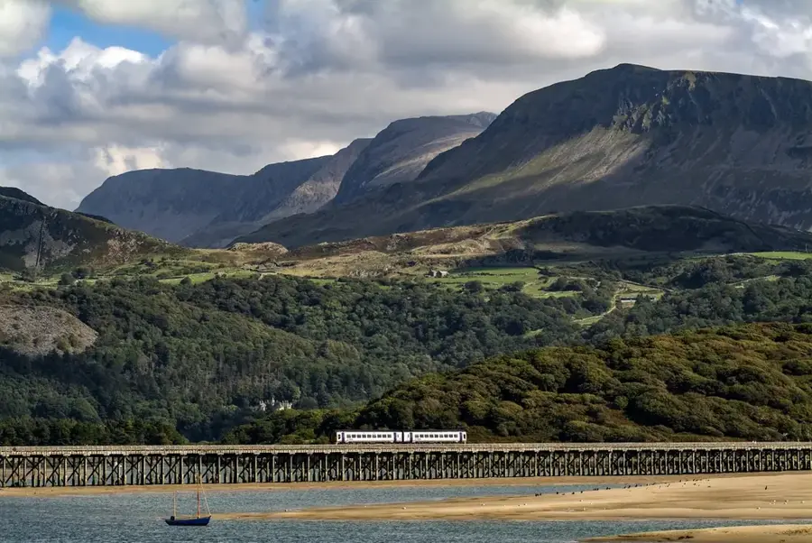
The Ruwenzori Mountains, often called the 'Mountains of the Moon,' are a majestic mountain range on the border between Uganda and the Democratic Republic of the Congo. Unlike most high African peaks, they are not volcanic in origin but were formed by the uplifting of the Earth's crust associated with the East African Rift. The range stretches for about 120 kilometers and hosts Africa's third-highest peak, Margherita Peak on Mount Stanley, reaching 5,109 meters. Despite their location directly on the Equator, the highest summits are permanently glaciated, though these glaciers are rapidly receding due to climate change. The vegetation is extraordinary, ranging from tropical rainforests to alpine zones filled with giant groundsels and lobelias. Constant rainfall and dense fog create extreme humidity, making the Ruwenzoris one of the continent's most significant water catchment areas. As early as antiquity, Ptolemy speculated that these mountains were the source of the Nile River.
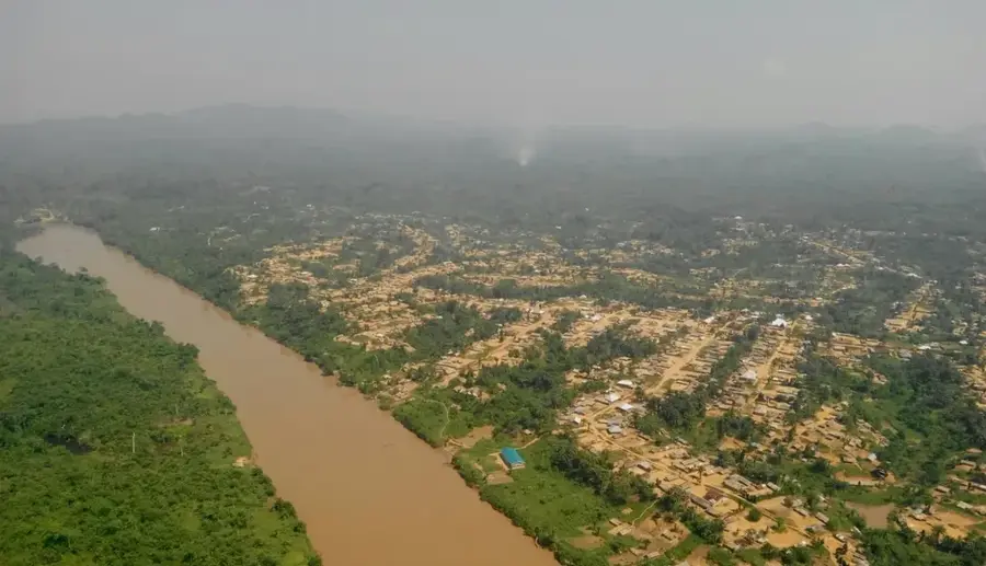
- Location: Congo - Kinshasa
- Nearby: Beni (38 km)
Best time to visit & climate
The most pleasant time to visit is Jan, Feb, Jul.
| Jan | Feb | Mar | Apr | May | Jun | Jul | Aug | Sep | Oct | Nov | Dec | |
|---|---|---|---|---|---|---|---|---|---|---|---|---|
| Avg °C | 21 | 21 | 21 | 20 | 20 | 20 | 20 | 20 | 20 | 20 | 20 | 20 |
| Rain mm | 71 | 69 | 137 | 138 | 123 | 97 | 86 | 133 | 155 | 170 | 163 | 99 |
📋 Practical info
Geography
Facts
- Third-highest mountain range in Africa (5,109 m)
- Formed by crustal uplift rather than volcanism
- Home to equatorial glaciers on the highest peaks
- Designated as a UNESCO World Heritage site in 1994
- Famous for unique giant lobelia and groundsel plants
- First sighted by Henry Morton Stanley in 1888
Explore nearby
Notable places around
Route planner — Car & Motorhome
Where do you start? We build the route here, with stops and country notes along the way.
© OpenStreetMap contributors · OpenRouteService
Sights nearby
Frequently asked questions
How high are the mountains?
Are there glaciers there?
Is hiking difficult?
Do I need a guide?
When is the best time?
Ruwenzori Mountains: where is it located?
Ruwenzori Mountains: when is the best time to visit?
Ruwenzori Mountains: why is it worth visiting?

Nature

More places