Plizio Visual Lab
Rwenzori Mountains
Weather…
Water temperature…
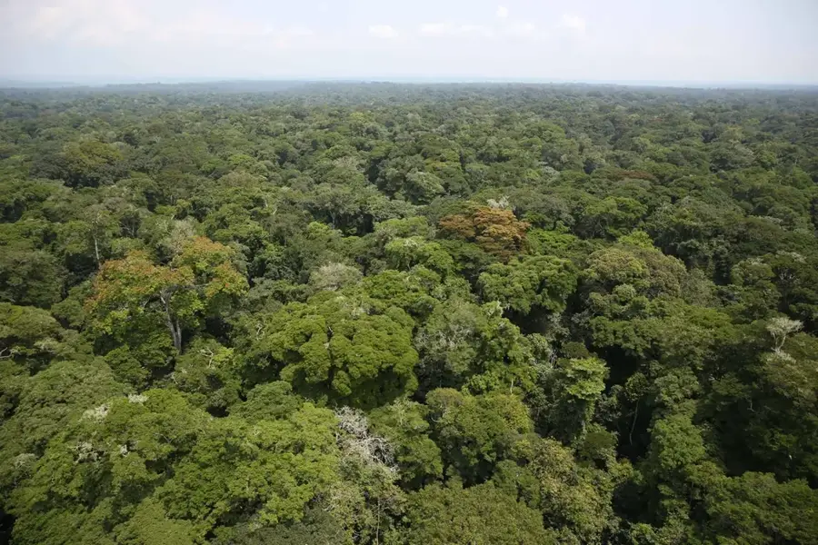
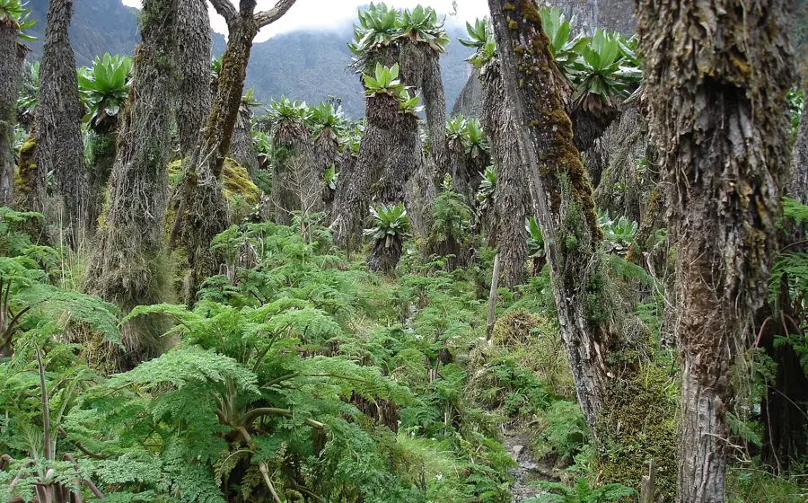
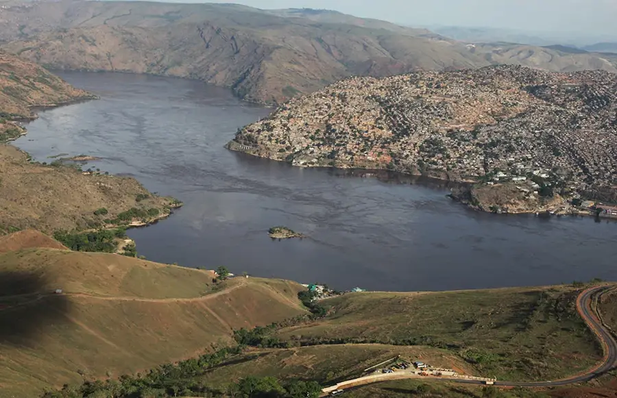
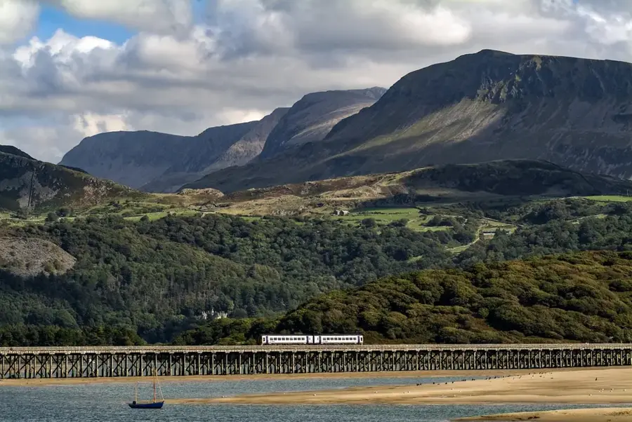
The Rwenzori Mountains, often called the 'Mountains of the Moon', are a spectacular mountain range on the border of Uganda and the Democratic Republic of the Congo. Unlike most African mountains, they are not volcanic in origin but are a tectonically uplifted block of crystalline rock. The highest peak, Margherita Peak on Mount Stanley, reaches an altitude of 5,109 meters, making it the third-highest mountain in Africa. A unique feature of the Rwenzoris is the presence of glaciers and permanent snow in close proximity to the equator. The range is protected as a UNESCO World Heritage Site and a national park, renowned for its exceptional and endemic flora. Distinct vegetation zones at different altitudes include tropical rainforest at lower levels, and giant groundsels and lobelias in the alpine zones, creating an almost otherworldly landscape. The mountains are a vital water catchment, feeding rivers like the Semliki, which flows into Lake Albert. Tourism, particularly challenging trekking, is an important source of revenue, although the remote location and demanding conditions limit the number of visitors.
- Location: Congo - Kinshasa
- Top sights: Kraepelin · Umberto · Rwenzori Mountains National Park
- Nearby: Beni (49 km)
Best time to visit & climate
The most pleasant time to visit is Jan, Feb, Jul.
| Jan | Feb | Mar | Apr | May | Jun | Jul | Aug | Sep | Oct | Nov | Dec | |
|---|---|---|---|---|---|---|---|---|---|---|---|---|
| Avg °C | 21 | 21 | 21 | 20 | 20 | 20 | 20 | 20 | 20 | 20 | 20 | 20 |
| Rain mm | 71 | 69 | 137 | 138 | 123 | 97 | 86 | 133 | 155 | 170 | 163 | 99 |
📋 Practical info
Geography
Facts
- The highest peak, Margherita Peak, is 5,109 meters high.
- The mountains are not volcanic but are tectonically uplifted.
- They were declared a UNESCO World Heritage Site in 1994.
- The Rwenzoris are one of the few places on the equator with glaciers.
- The unique flora includes giant groundsels and lobelias.
- The name 'Mountains of the Moon' is traced back to the ancient geographer Ptolemy.
Explore nearby
Notable places around
Route planner — Car & Motorhome
Where do you start? We build the route here, with stops and country notes along the way.
© OpenStreetMap contributors · OpenRouteService
Sights in the town Rwenzori Mountains (3)
Sights nearby
Frequently asked questions
What is the nickname of the Rwenzori Mountains?
Are there glaciers there?
How difficult is the climb?
When should you go hiking?
Is equipment needed?
Rwenzori Mountains: where is it located?
Rwenzori Mountains: what is there to see?
Rwenzori Mountains: when is the best time to visit?
Rwenzori Mountains: why is it worth visiting?

Nature
More places