Plizio Visual Lab
Rwenzori Foothills
Weather…
Water temperature…
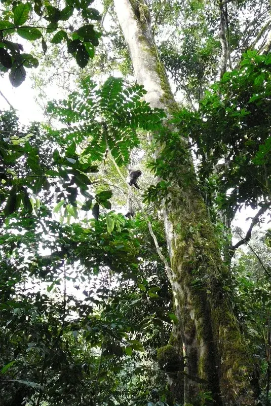
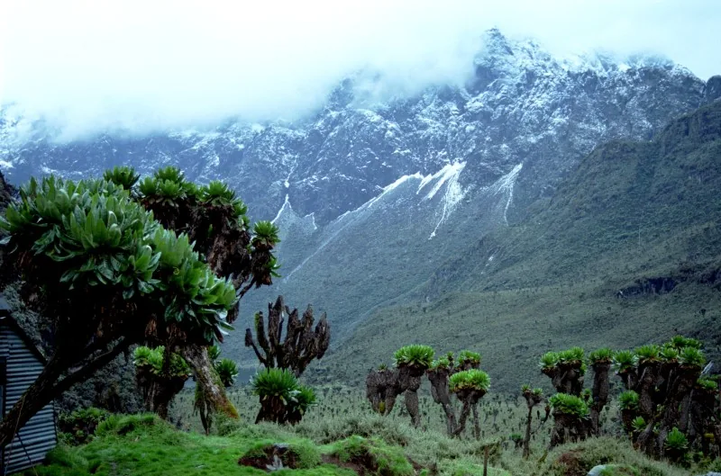
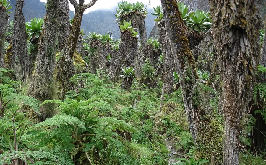
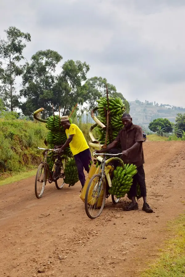
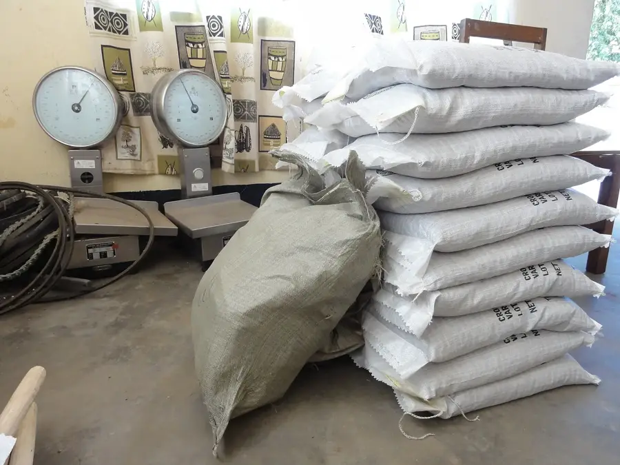
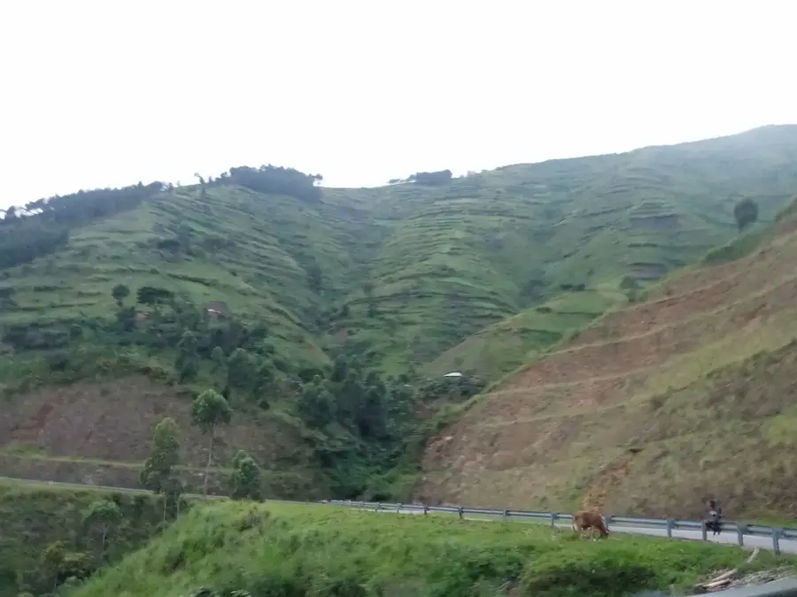
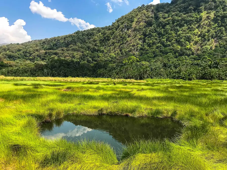
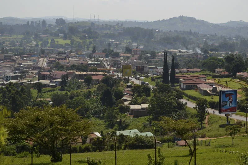
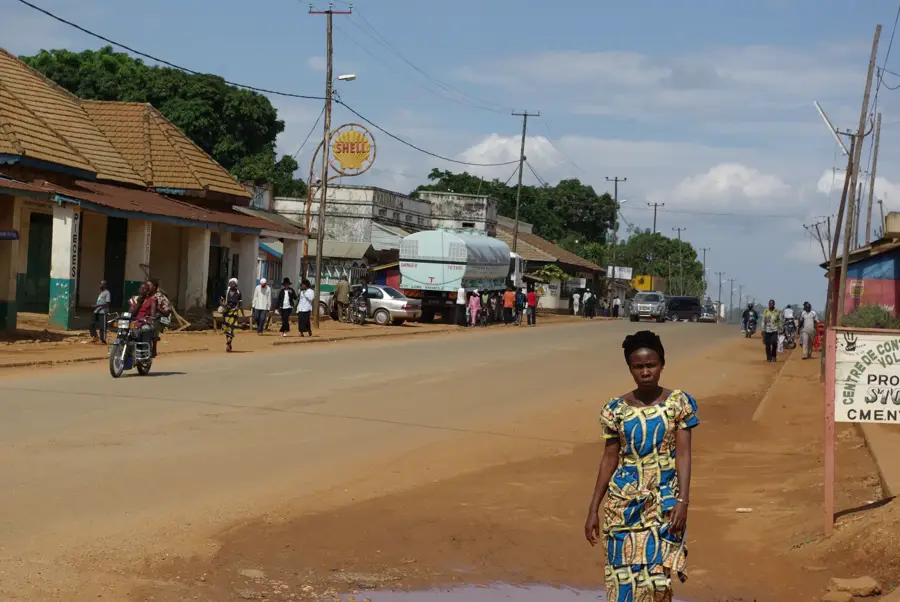
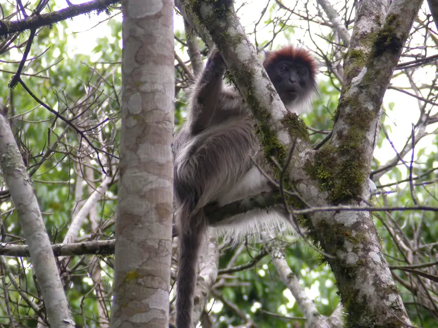
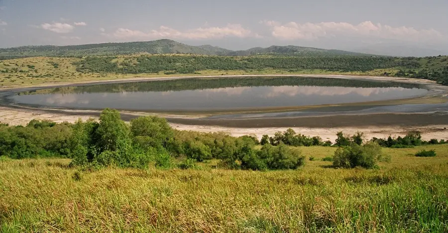
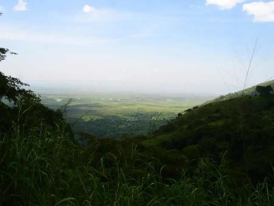
The Rwenzori Foothills constitute the lower ecological zone of the famed 'Mountains of the Moon' in western Uganda. This region, ranging from approximately 1,000 to 2,200 meters in altitude, serves as a critical transition between the savannas of the Albertine Rift and the higher zones of montane forest, bamboo, and Afro-alpine moorland. The foothills are characterized by steep, river-cut valleys, high rainfall, and lush vegetation. They are home to the Bakonzo people, who have farmed the slopes for centuries, cultivating crops such as bananas, cassava, and coffee. Rivers fed by the high-altitude glaciers and rainfall, including the Nyamwamba and Mubuku, cascade through the foothills, providing water for agriculture and hydroelectric power, however, these rivers are also prone to flash floods. Much of the foothills lie within the boundaries of the Rwenzori Mountains National Park, a UNESCO World Heritage Site renowned for its exceptional biodiversity and unique flora. The region is of vital importance for both conservation and local livelihoods.
- Location: Uganda
- Top sights: Mount Speke · Lake Bujuku
- Nearby: Rwenzori Mountains National Park (6 km)
Best time to visit & climate
The most pleasant time to visit is Jan, Feb, Jul.
| Jan | Feb | Mar | Apr | May | Jun | Jul | Aug | Sep | Oct | Nov | Dec | |
|---|---|---|---|---|---|---|---|---|---|---|---|---|
| Avg °C | 21 | 21 | 21 | 20 | 20 | 20 | 20 | 20 | 20 | 20 | 20 | 20 |
| Rain mm | 71 | 69 | 137 | 138 | 123 | 97 | 86 | 133 | 155 | 170 | 163 | 99 |
📋 Practical info
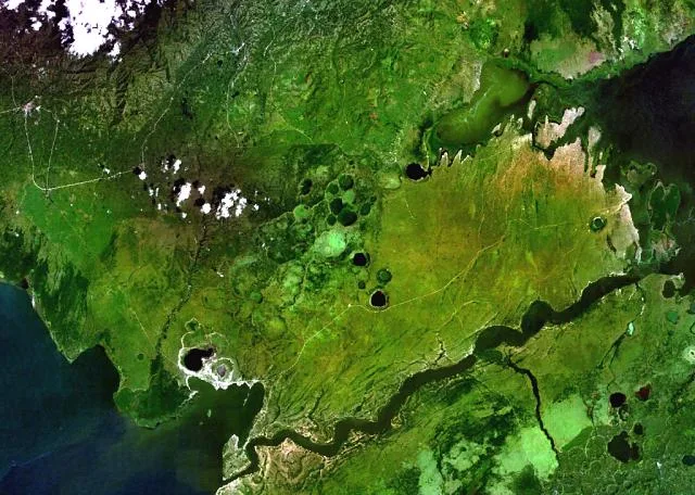
Geography
Facts
- The foothills range in altitude from 1,000 to 2,200 meters.
- They are the homeland of the Bakonzo (Konjo) people.
- Key rivers include the Nyamwamba, Mubuku, and Nyamugasani.
- Rwenzori Mountains National Park was established in 1991 and made a UNESCO site in 1994.
- Typical crops grown include Arabica coffee, bananas, and beans.
- The region receives up to 2,500 mm of rainfall annually.
- The geology consists of Precambrian basement rocks.
- The foothills form the first vegetation zone of the national park: the forest zone.
Explore nearby
Notable places around
Route planner — Car & Motorhome
Where do you start? We build the route here, with stops and country notes along the way.
© OpenStreetMap contributors · OpenRouteService
Sights in the town Rwenzori Foothills (2)
Sights nearby
Frequently asked questions
What awaits me at the Rwenzori foothills?
Are the trails difficult there?
When should I visit the region?
Is there food available?
Is the area safe?
Rwenzori Foothills: where is it located?
Rwenzori Foothills: what is there to see?
Rwenzori Foothills: when is the best time to visit?
Rwenzori Foothills: why is it worth visiting?

Nearby cities

History & landmarks

Nature
More places