Plizio Visual Lab
Kasese
ℹ️Practical info — Kasese
▾
🌤 Weather — 5 days
📍 Nearby
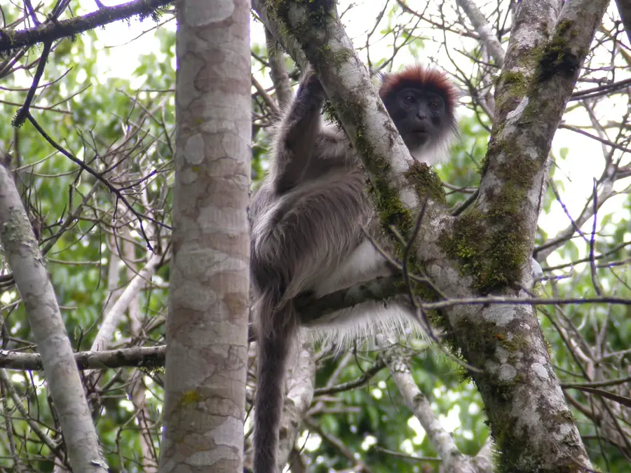
Sights nearby
💡 Tips
- Hire local guides for Rwenzori foothills early in the morning.
- Negotiate boda-boda (motorcycle taxi) fares before starting the ride.
- Keep cash in Ugandan Shillings, as card payments are rare.
- Expect rain even in dry seasons and pack accordingly.
🍽 Food
Try this popular rolled omelet and flatbread street food from roadside stalls in the town center.
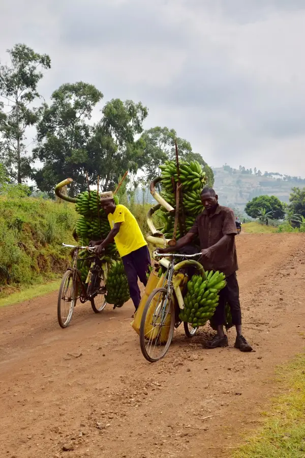
Eat this traditional mashed plantain dish at local eateries near the central market.
Enjoy fresh local fish at fish restaurants on the outskirts of town.
🛍 Shopping · 🧘 Quiet spots
Buy fresh tropical fruits and locally sourced produce.
Look for hand-woven baskets and carvings at small artisan shops.
Enjoy a peaceful walk among the outdoor sculptures and gallery spaces.
Take a gentle, calm morning stroll just outside the main town.
Water temperature…
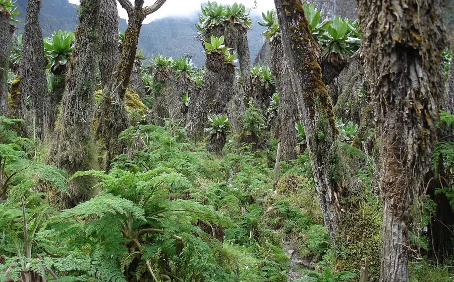
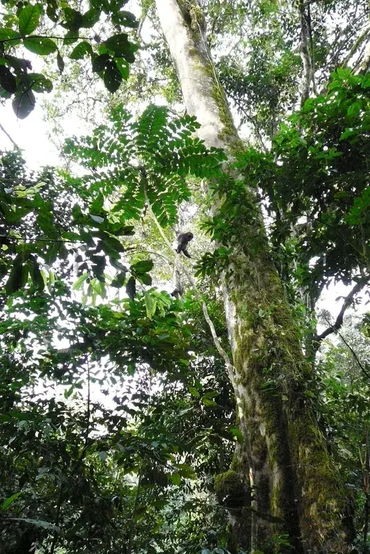
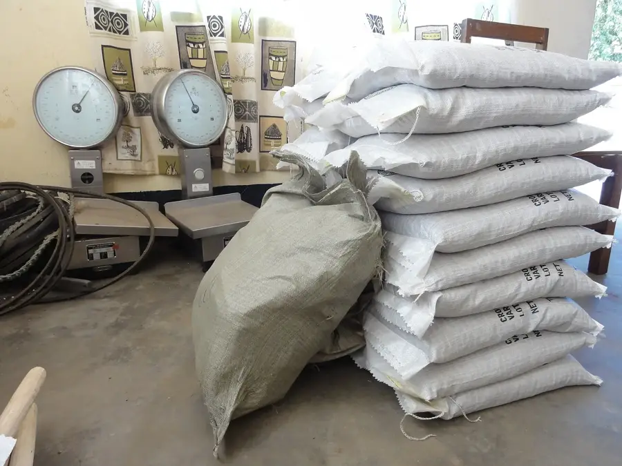
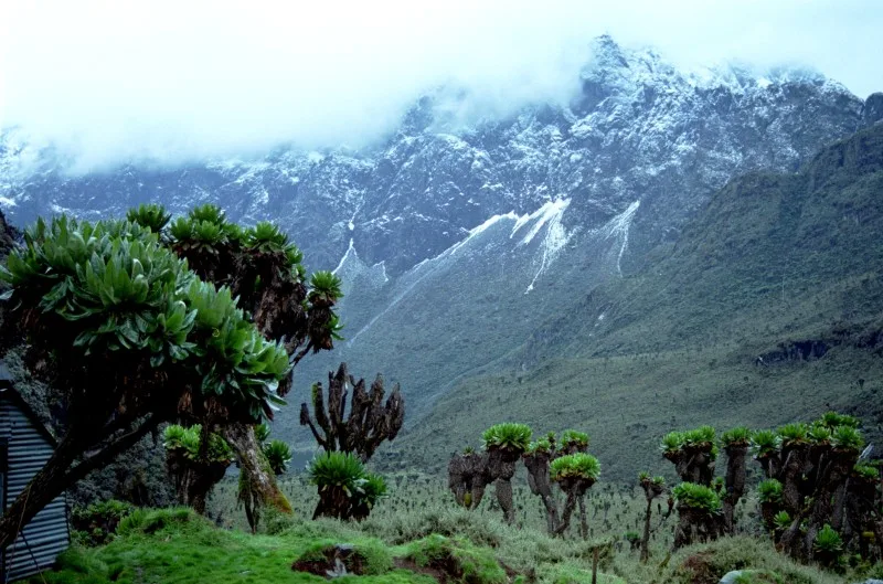
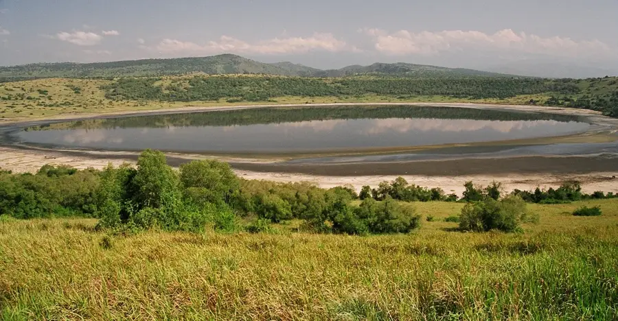
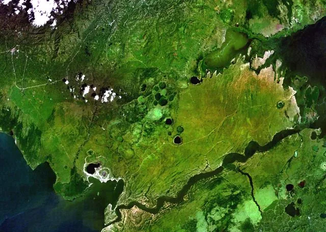
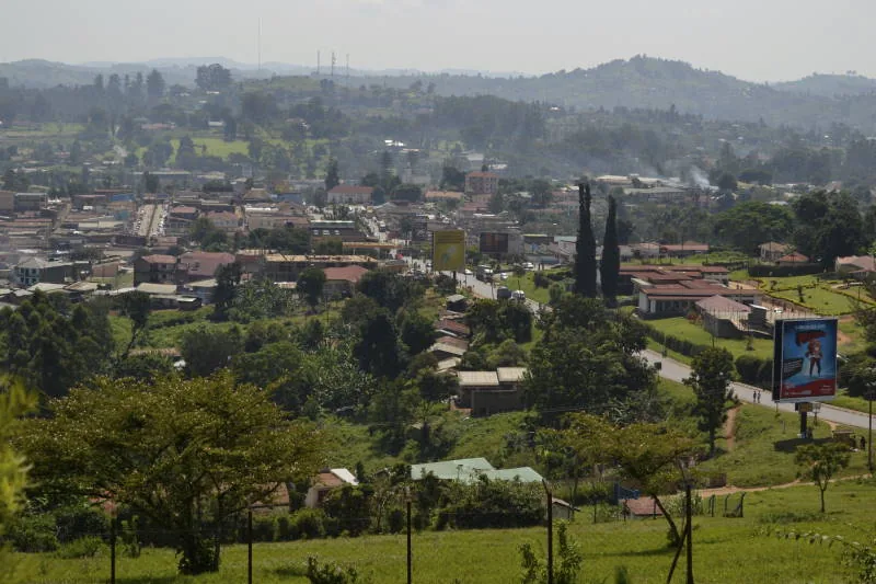
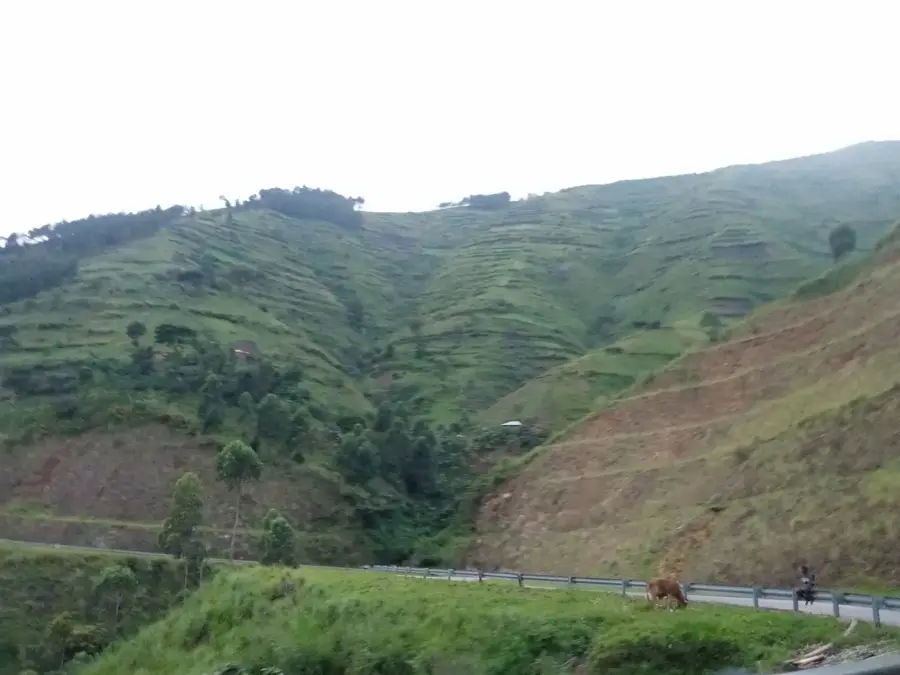
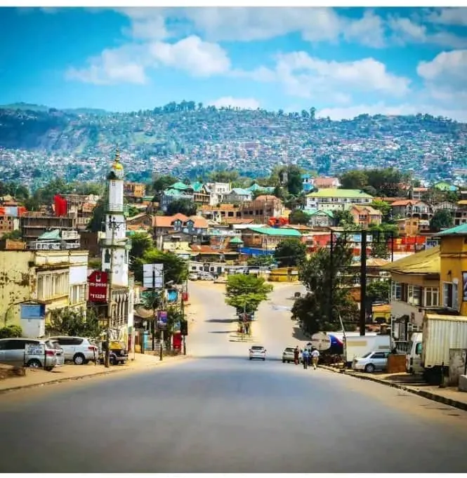
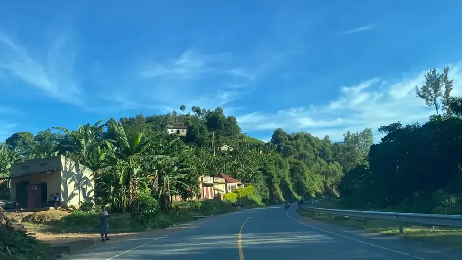
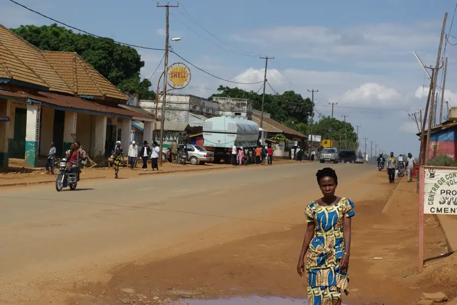
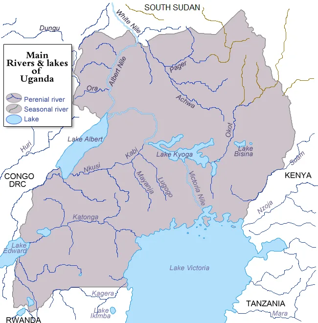
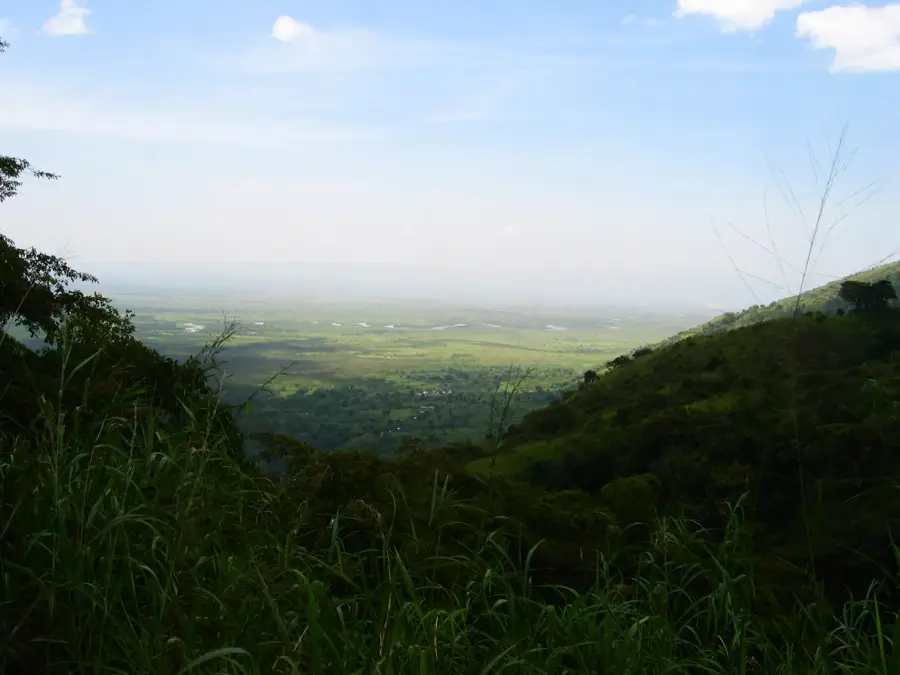
Kasese is located in western Uganda at the base of the Rwenzori Mountains, famously known as the 'Mountains of the Moon,' and serves as a major industrial center. The city's development was spurred in the mid-20th century by copper mining at the nearby Kilembe Mines, which, though largely inactive today, established the region's infrastructure. Geographically, Kasese acts as a gateway to both Queen Elizabeth National Park and Rwenzori Mountains National Park, making it a pivotal base for tourism. The city is home to the large Hima Cement factory and is a significant producer of cobalt and agricultural commodities such as cotton and coffee. Positioned at an altitude of approximately 960 meters, Kasese lies close to the border with the Democratic Republic of the Congo. Its economic vitality is further bolstered by hydroelectric power stations on the Mubuku River, which energize local industries.
- Location: Uganda
- Nearby: Rwenzori Mountains National Park (26 km)
- Population: ~115.400 (2024)
Best time to visit & climate
The most pleasant time to visit is Jan, Jun, Jul.
| Jan | Feb | Mar | Apr | May | Jun | Jul | Aug | Sep | Oct | Nov | Dec | |
|---|---|---|---|---|---|---|---|---|---|---|---|---|
| Avg °C | 23 | 23 | 23 | 22 | 22 | 22 | 22 | 22 | 22 | 22 | 21 | 22 |
| Rain mm | 64 | 67 | 123 | 123 | 108 | 64 | 62 | 100 | 122 | 140 | 139 | 88 |
Geography
Facts
- Historical epicenter of copper mining in Uganda via Kilembe.
- Site of the massive Hima Cement manufacturing plant.
- Primary gateway to the Rwenzori Mountains National Park.
- Elevation of approximately 960 meters above sea level.
- Major producer of cobalt and industrial-grade cotton.
- Strategically located near the DRC international border.
Explore nearby
Notable places around
Route planner — Car & Motorhome
Where do you start? We build the route here, with stops and country notes along the way.
© OpenStreetMap contributors · OpenRouteService
Sights in the town Kasese (1)
Frequently asked questions
What is Kasese's main attraction?
How long should I stay?
Is it a good starting point for tours?
When is the best time to travel?
Are accommodations available?
Kasese: where is it located?
Kasese: when is the best time to visit?
Kasese: why is it worth visiting?

Nearby cities
Nature
More places