Plizio Visual Lab
Mount Gahinga

Weather…
Water temperature…
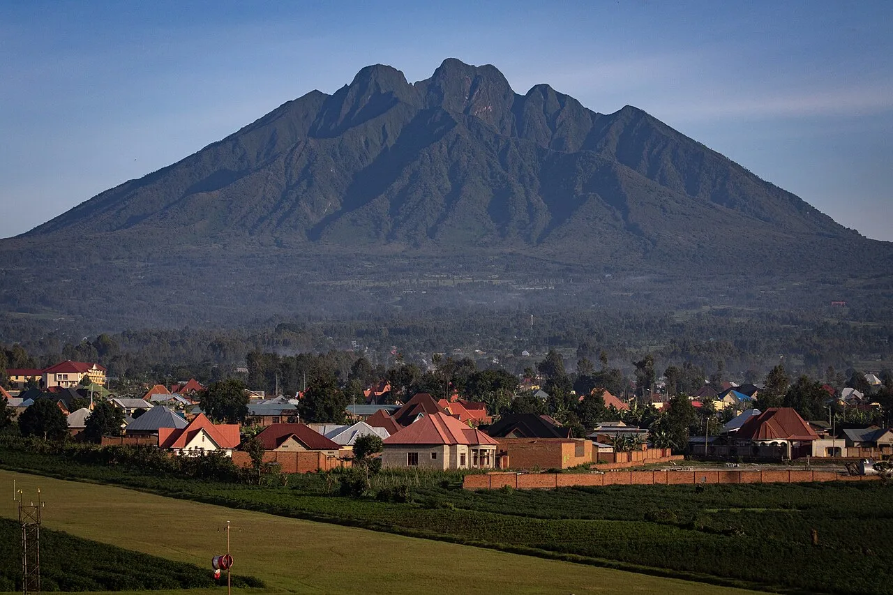
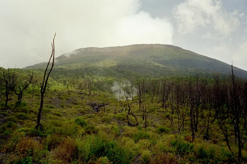
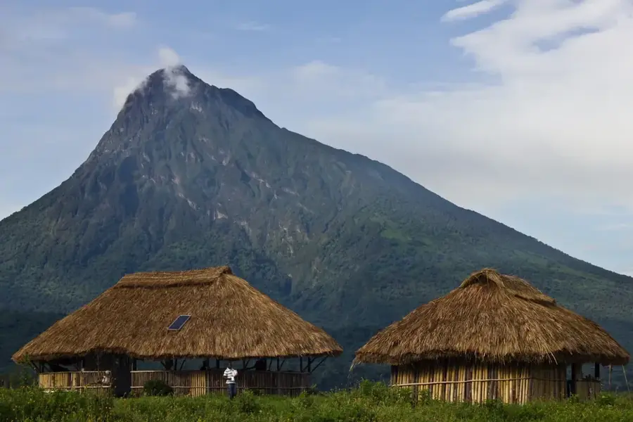
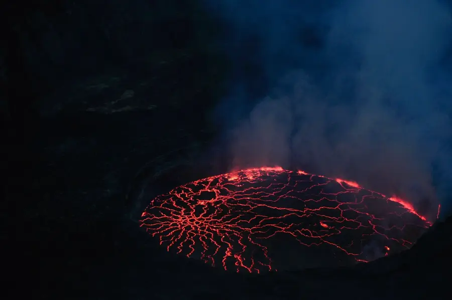
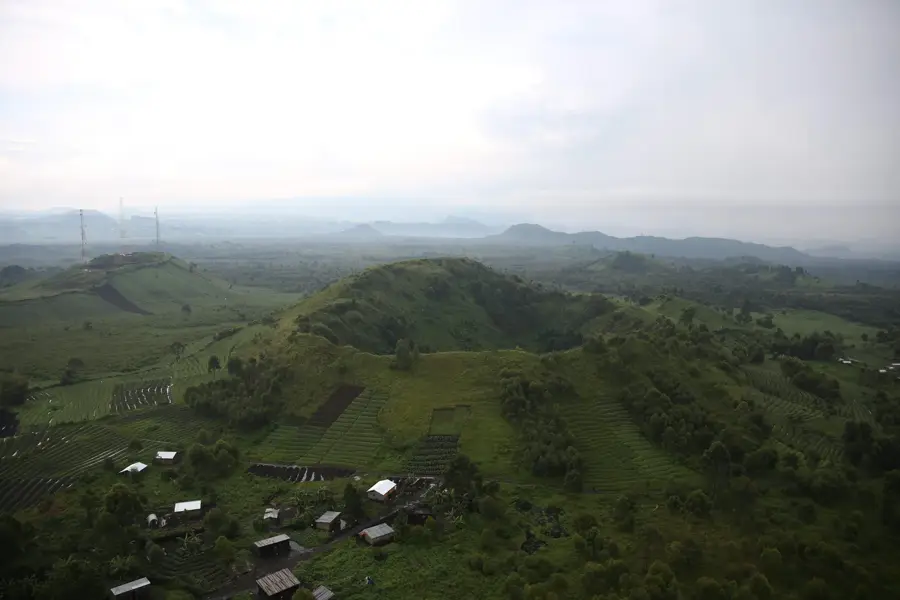
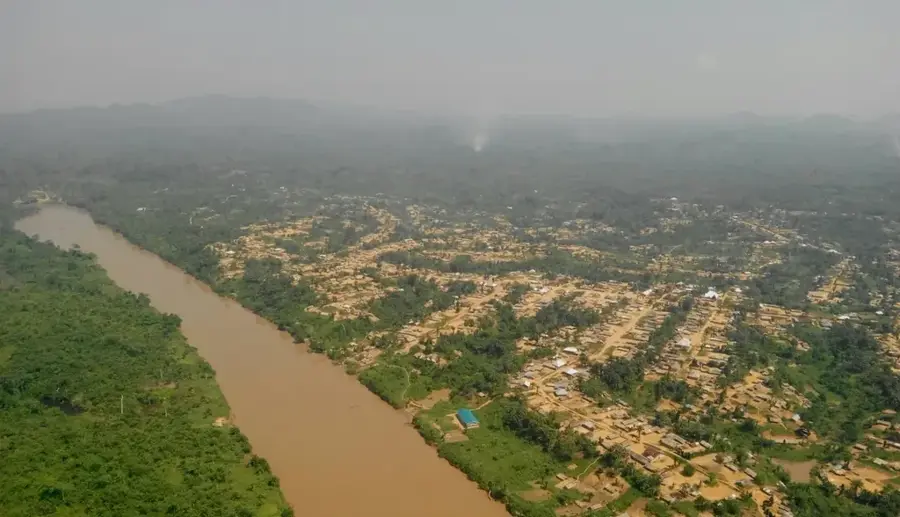
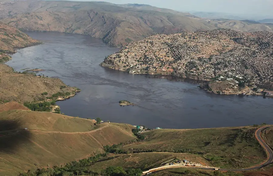
Mount Gahinga is a dormant volcano situated within the Virunga Mountains on the border between Rwanda and Uganda. Reaching an elevation of 3,474 meters, it is the smallest of the three major peaks shared by Mgahinga Gorilla National Park and Volcanoes National Park. The name 'Gahinga' translates to 'a small pile of stones' in the local language, referring to the volcanic boulders that local farmers often clear from their land. Unlike its more rugged neighbors, Sabyinyo and Muhabura, Gahinga features a relatively flat summit with a marshy crater approximately 180 meters in diameter. The mountain's slopes are covered in diverse vegetation, including afro-alpine zones and dense bamboo forests that serve as a habitat for mountain gorillas and golden monkeys. Geologically, the volcano was formed during the Pleistocene epoch as part of the Albertine Rift. For trekkers, Gahinga gives a less technical climb than Sabyinyo, while still providing exceptional access to the region's pristine high-altitude ecosystems.
- Location: Congo - Kinshasa
- Top sights: Mount Sabyinyo 1st Peak · Mount Sabyinyo 2nd Peak · Mount Sabyinyo 3rd Peak
- Nearby: Rutshuru (27 km)
Best time to visit & climate
The most pleasant time to visit is Jun–Aug.
| Jan | Feb | Mar | Apr | May | Jun | Jul | Aug | Sep | Oct | Nov | Dec | |
|---|---|---|---|---|---|---|---|---|---|---|---|---|
| Avg °C | 17 | 18 | 18 | 18 | 17 | 17 | 17 | 17 | 18 | 17 | 17 | 17 |
| Rain mm | 127 | 127 | 206 | 183 | 142 | 74 | 45 | 92 | 139 | 190 | 218 | 154 |
📋 Practical info
Geography
Facts
- The summit elevation of Mount Gahinga is 3,474 meters.
- It is located on the international border of Uganda and Rwanda.
- The name translates literally as 'a small pile of stones'.
- The summit features a shallow, 180-meter wide marshy crater.
- It is the smallest of the three main volcanoes in Mgahinga National Park.
- Geologically it belongs to the western branch of the East African Rift.
Explore nearby
Notable places around
Route planner — Car & Motorhome
Where do you start? We build the route here, with stops and country notes along the way.
© OpenStreetMap contributors · OpenRouteService
Sights in the town Mount Gahinga (3)
Mount Sabyinyo 3rd Peak
Third and highest peak of Sabyinyo, known for its jagged crater rim.
Sights nearby
Frequently asked questions
What does the name Gahinga mean?
Is there a crater lake on Mount Gahinga?
How long does the hike take?
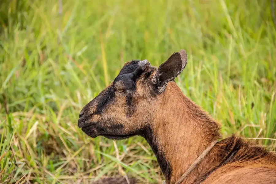
Can you see Golden Monkeys?
Is the hike suitable for children?
Mount Gahinga: where is it located?
Mount Gahinga: what is there to see?
Mount Gahinga: when is the best time to visit?
Mount Gahinga: why is it worth visiting?

Nature
More places