Plizio Visual Lab
Ulindi River
Weather…
Water temperature…
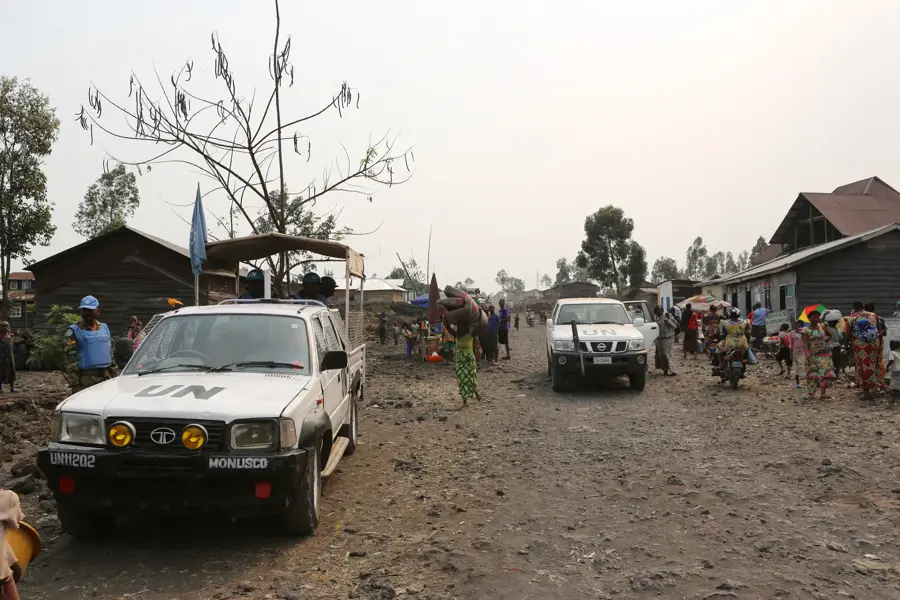
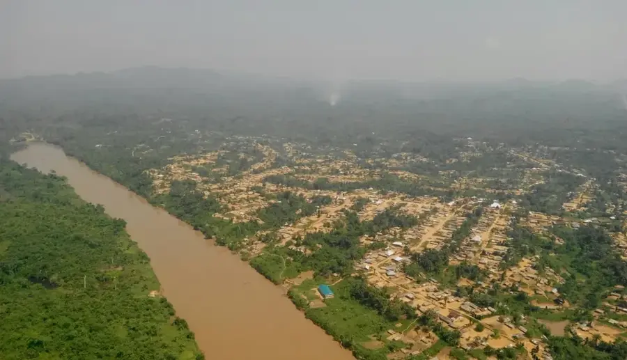
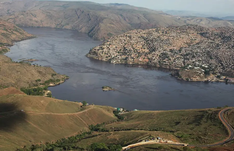
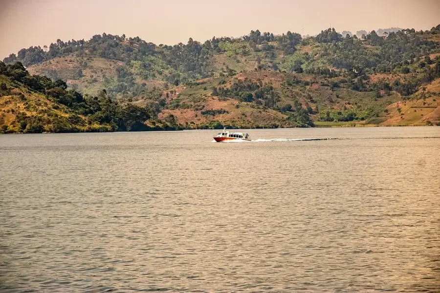
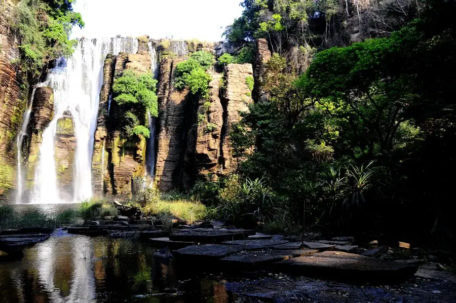
The Ulindi River is a river in the eastern Democratic Republic of Congo and another important tributary of the Lualaba River. Its sources are in the Itombwe Massif near the border with Burundi and Rwanda, and it flows westward for over 470 kilometers before joining the Lualaba. The upper course of the river is steep and rocky, while the lower part flows through the central Congo Basin, becoming wider and slower. The Ulindi's catchment area is known for its wealth of minerals, particularly gold and coltan, which has led to intense artisanal mining in the region. However, these activities have caused significant ecological and social problems, including deforestation and conflicts. The river is also an important habitat for various fish species and crocodiles. It traverses areas of great biological diversity that are under intense pressure from human activities. For local residents, the Ulindi serves as a source of drinking water, fishing, and as a transportation route.
- Location: Congo - Kinshasa
- Nearby: Kamituga (58 km)
Best time to visit & climate
The most pleasant time to visit is Jun–Aug.
| Jan | Feb | Mar | Apr | May | Jun | Jul | Aug | Sep | Oct | Nov | Dec | |
|---|---|---|---|---|---|---|---|---|---|---|---|---|
| Avg °C | 22 | 23 | 23 | 22 | 22 | 22 | 22 | 22 | 22 | 22 | 22 | 22 |
| Rain mm | 173 | 153 | 216 | 172 | 113 | 47 | 33 | 95 | 169 | 240 | 323 | 206 |
📋 Practical info
Geography
Facts
- River length: approx. 470 km
- Source: Itombwe Massif
- Flows into the Lualaba River
- Rich in gold and coltan deposits
- Important habitat for crocodiles
- Intense artisanal mining along the river
Explore nearby
Notable places around
Route planner — Car & Motorhome
Where do you start? We build the route here, with stops and country notes along the way.
© OpenStreetMap contributors · OpenRouteService
Sights nearby
Frequently asked questions
Where is the Ulindi River located?
Where does the Ulindi flow to?
What landscapes does it cross?
Are there dangerous animals there?
Is the river used for transport?
Ulindi River: where is it located?
Ulindi River: when is the best time to visit?
Ulindi River: why is it worth visiting?

Nature

More places