Plizio Visual Lab
Baraka
ℹ️Practical info — Baraka
▾
🌤 Weather — 5 days
📍 Nearby
Sights nearby
💡 Tips
- Bring enough USD or Congolese Francs in cash; ATMs are basically non-existent.
- Swahili and French are the main languages; learn a few basic Swahili greetings.
- Travel by 4x4 or boat is the norm; road conditions are extremely challenging.
- Avoid photographing military, police, or official buildings to prevent confiscation of your camera.
🍽 Food
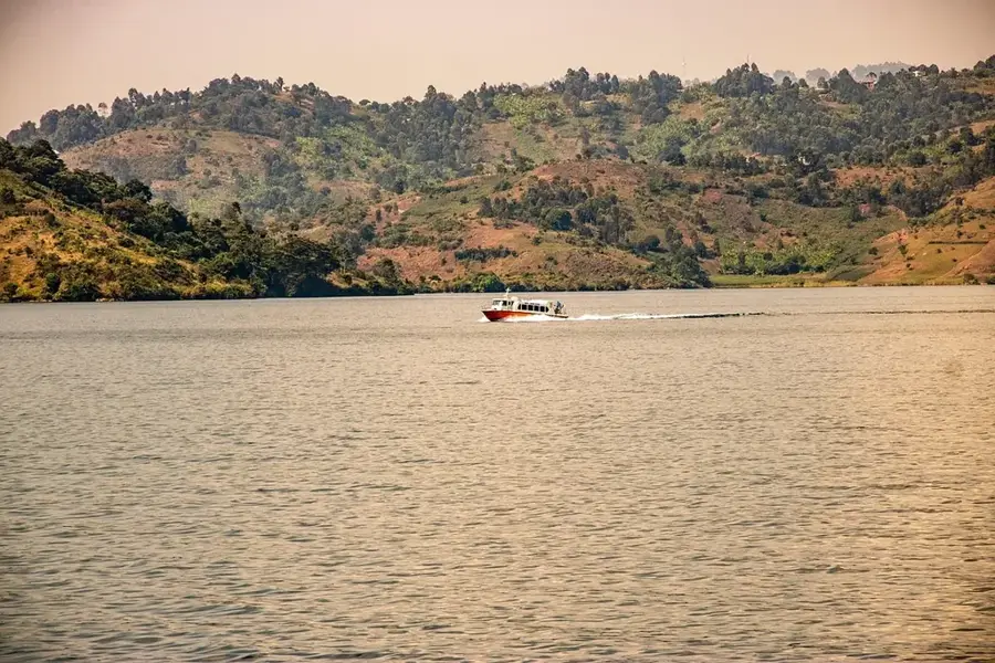
Small fish from Lake Tanganyika, found at local lakeside eateries.
Cassava or corn mash with greens, a standard staple at local diners.
Fresh local fruits easily available at the central market.
🛍 Shopping · 🧘 Quiet spots
Colorful local market for fabrics (pagnes) and daily goods.
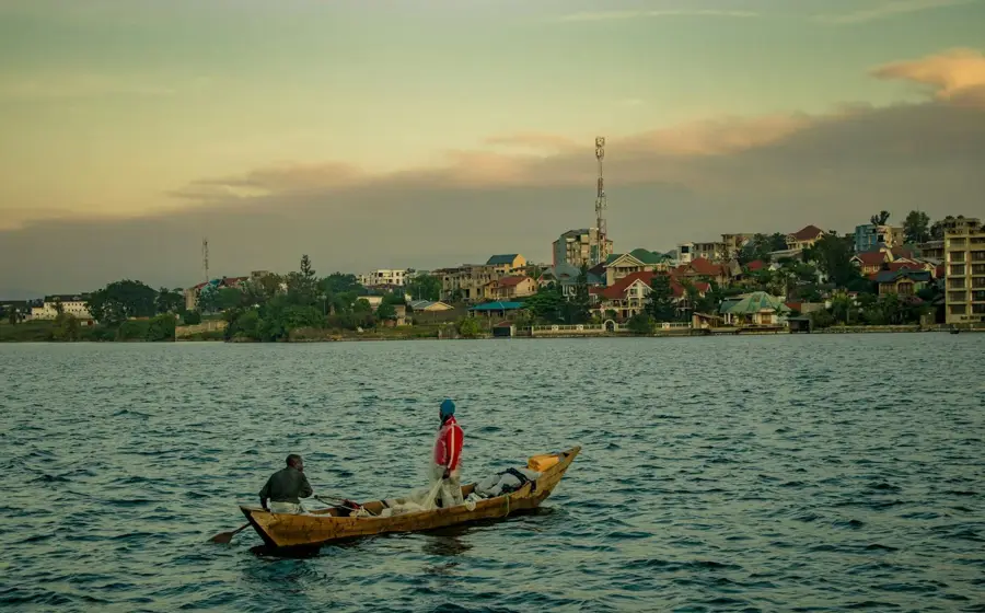
Watch the fresh catch from Lake Tanganyika being traded in the mornings.
Peaceful spots slightly outside the main busy port area.
Gives great views over the lake, but requires accompaniment by a local guide.
Water temperature…
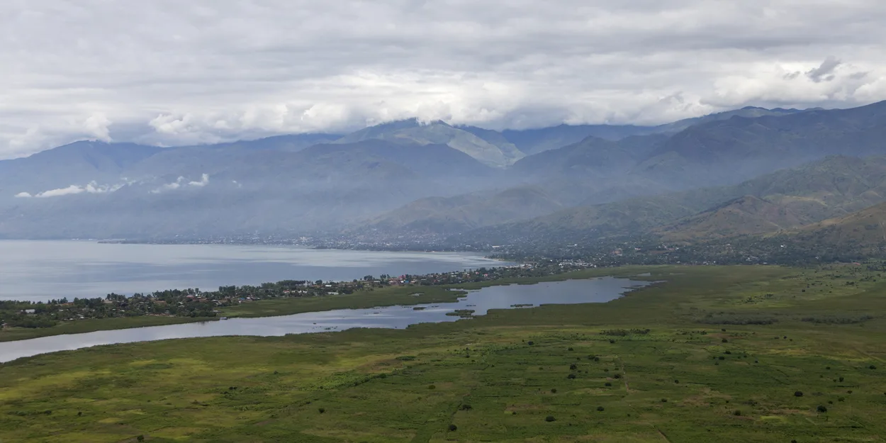
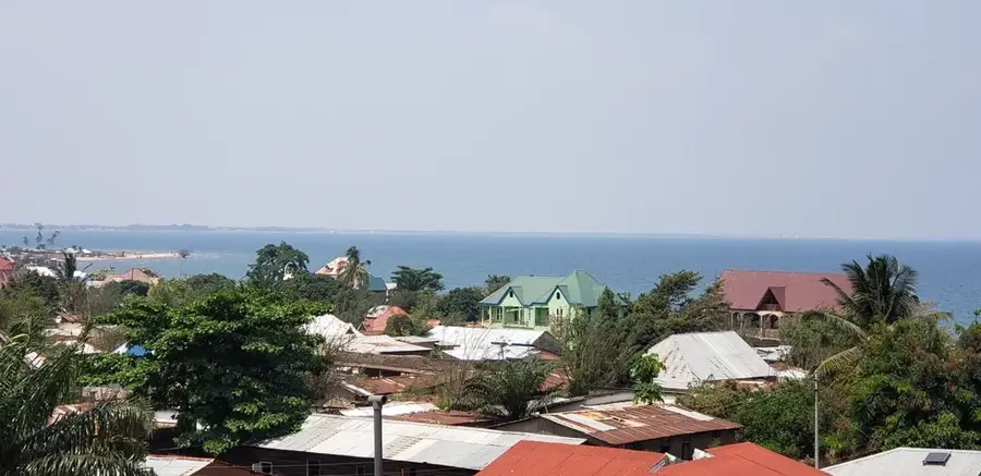
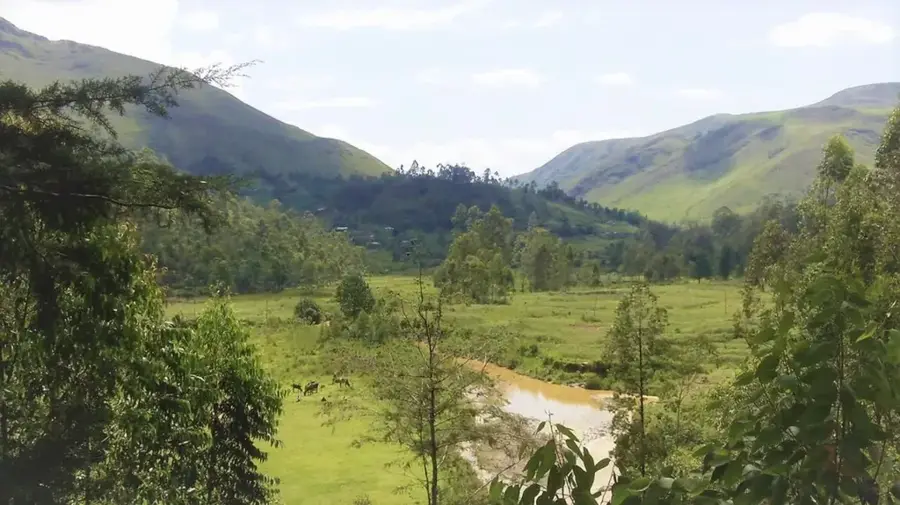
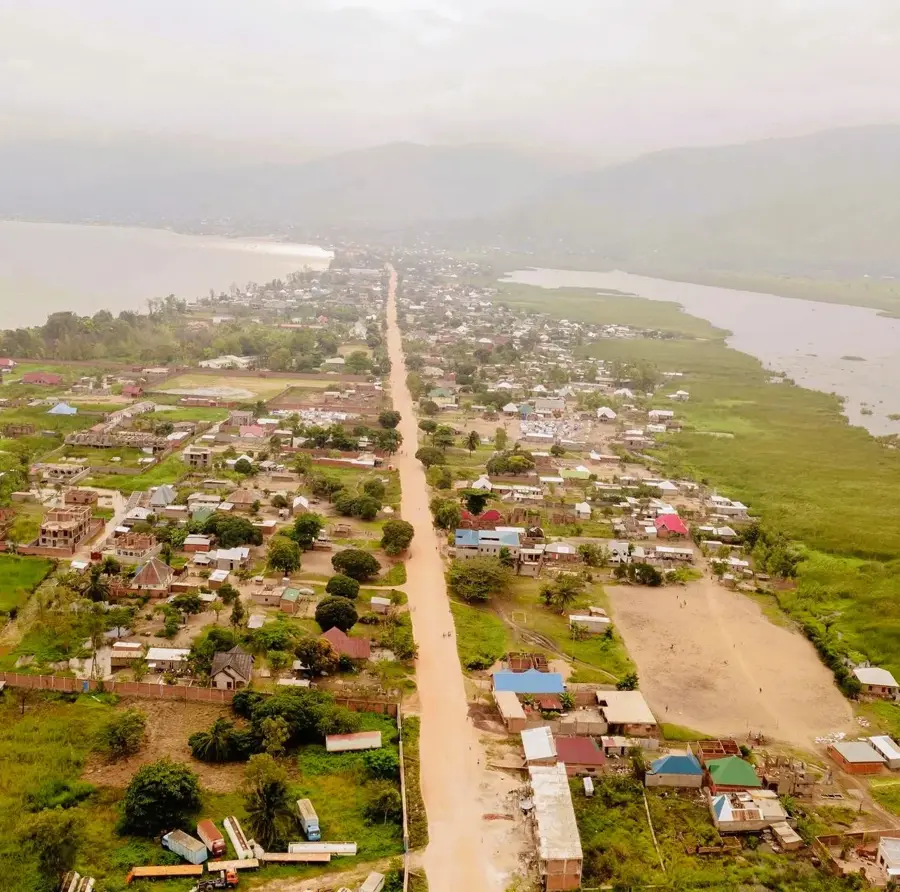
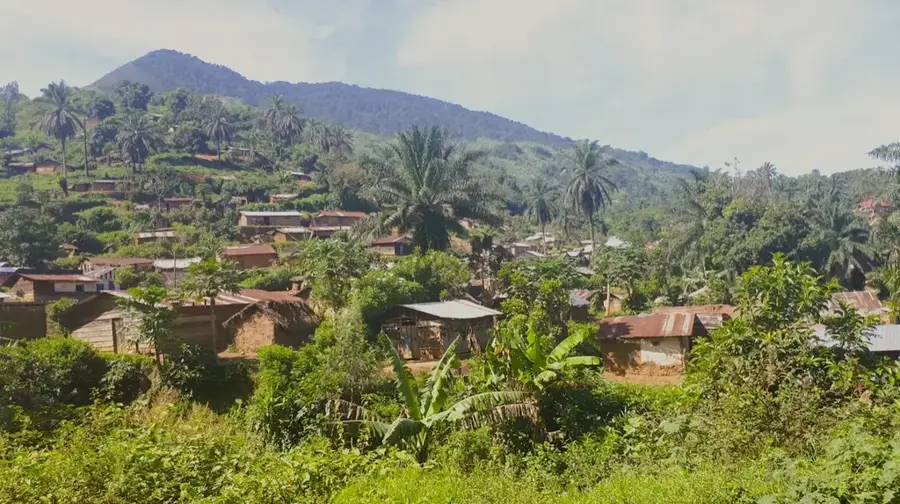
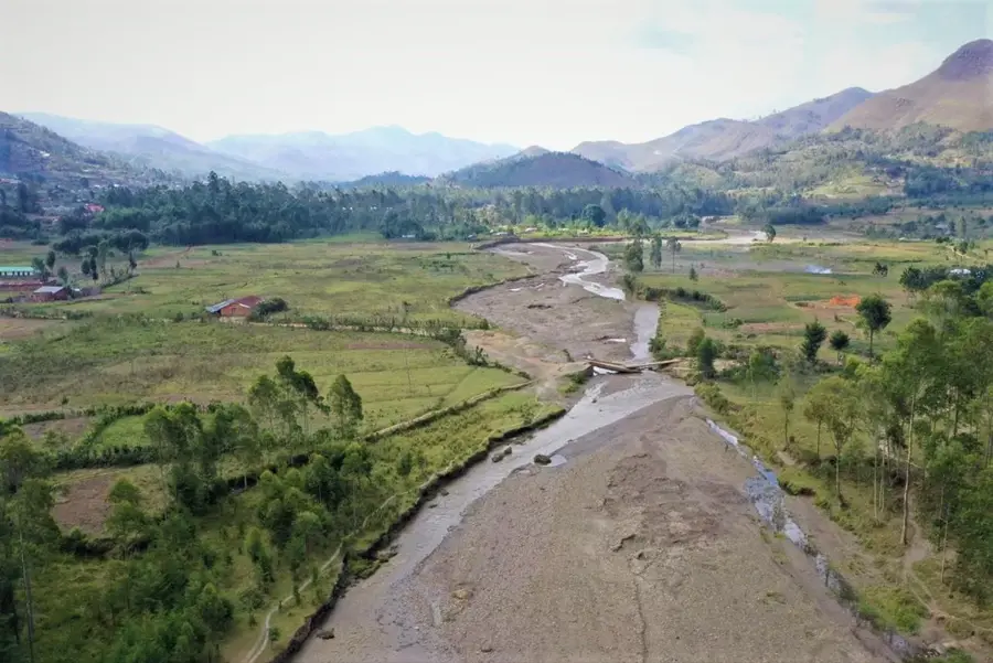
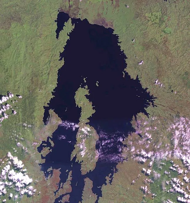
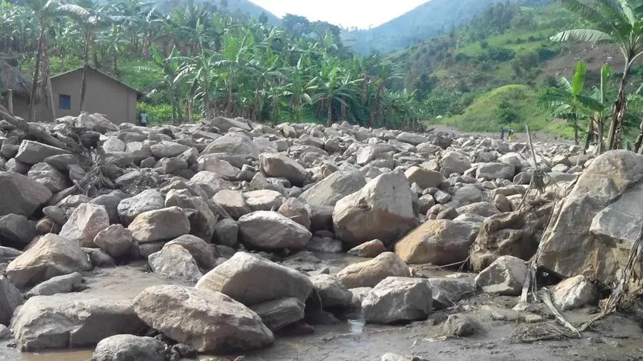
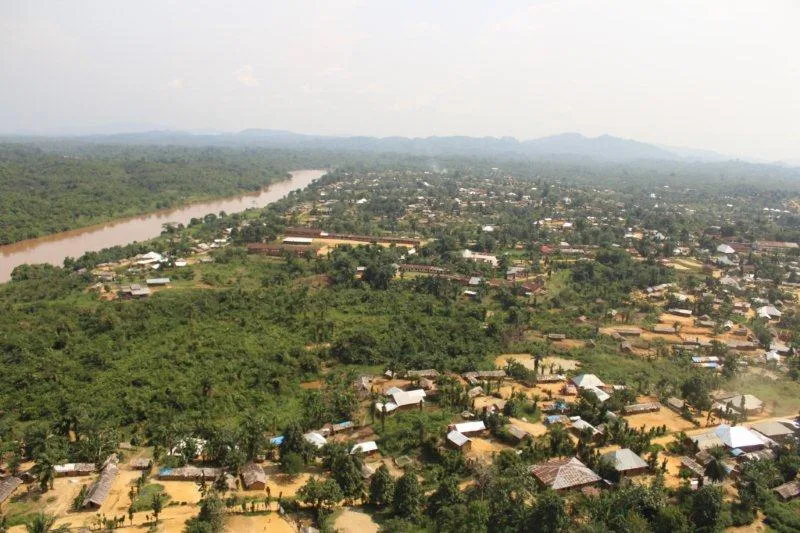
Baraka is a significant port city situated on the western shore of Lake Tanganyika in the South Kivu province of the Democratic Republic of the Congo. The city occupies a strategic location opposite Burundi and Tanzania, making it a central hub for cross-border trade and maritime transport. Historically, Baraka was a site of intense conflict during the Congo Wars, which significantly impacted its infrastructure and demographic development over the past decades. Geographically, the urban landscape is shaped by its proximity to the lake and the steeply rising hills of the Mitumba Mountains. The local economy relies heavily on fishing in Lake Tanganyika and the trade of agricultural products from the surrounding hinterland. Despite facing challenges related to limited state services, Baraka has emerged as an important urban center bridging the Kivu region with the broader East African economic zone.
- Location: Congo - Kinshasa
- Nearby: Uvira (68 km)
Best time to visit & climate
The most pleasant time to visit is Jul–Sep.
| Jan | Feb | Mar | Apr | May | Jun | Jul | Aug | Sep | Oct | Nov | Dec | |
|---|---|---|---|---|---|---|---|---|---|---|---|---|
| Avg °C | 18 | 18 | 18 | 18 | 18 | 17 | 17 | 19 | 20 | 19 | 18 | 18 |
| Rain mm | 185 | 146 | 179 | 176 | 70 | 14 | 7 | 23 | 60 | 118 | 245 | 178 |
Geography
Facts
- Baraka is located on the western shore of Lake Tanganyika, the world's second deepest lake.
- The city serves as the administrative center of the Fizi Territory in South Kivu.
- During the rebellions of the 1960s, the region was a stronghold of resistance.
- The name Baraka is derived from Arabic, meaning blessing.
- The population is estimated to be over 120,000 residents.
- The city features a strategic port for trade flows reaching Tanzania and Burundi.
Explore nearby
Notable places around
Route planner — Car & Motorhome
Where do you start? We build the route here, with stops and country notes along the way.
© OpenStreetMap contributors · OpenRouteService
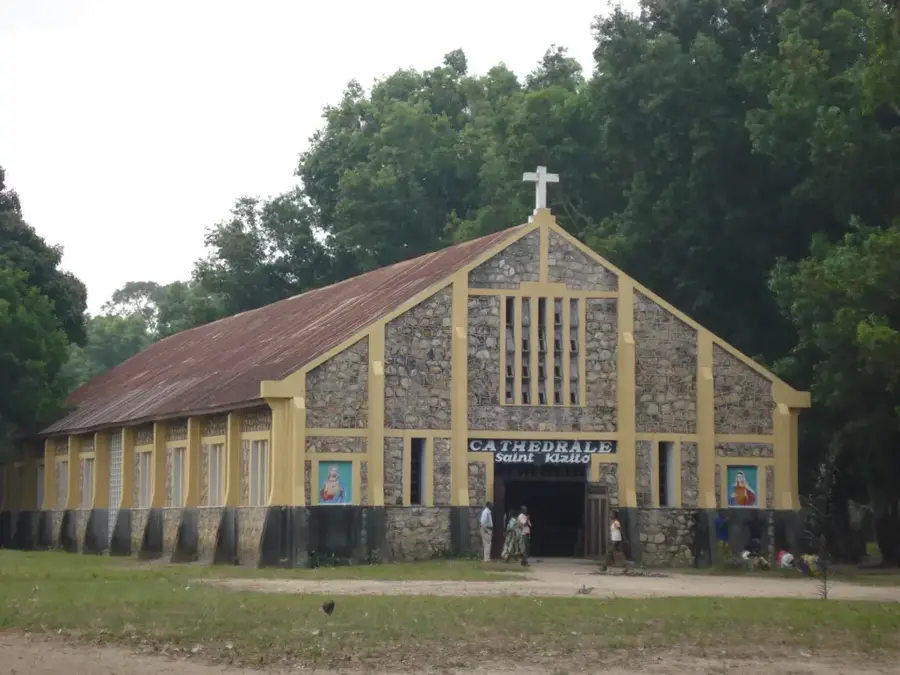
Sights in the town Baraka (1)
Frequently asked questions
What kind of place is Baraka?
What does the name 'Baraka' mean?
How do you travel to Baraka?
What language is spoken there?
What is the security situation in Baraka?
Baraka: where is it located?
Baraka: when is the best time to visit?
Baraka: why is it worth visiting?

Nearby cities
History & landmarks

More places