Plizio Visual Lab
Mount Muhi
Weather…
Water temperature…
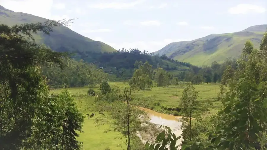
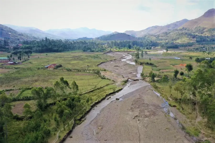
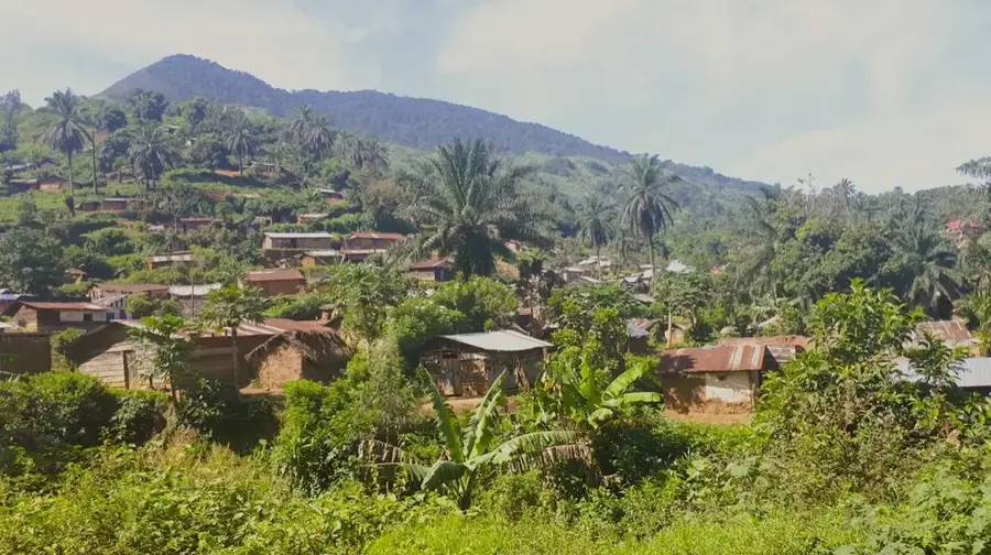
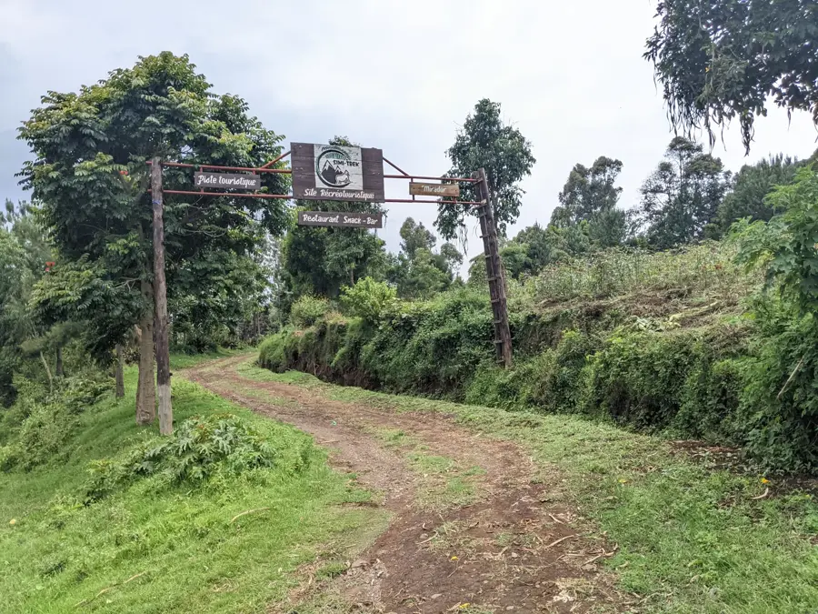
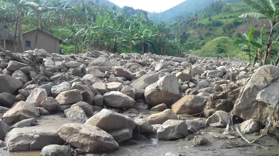
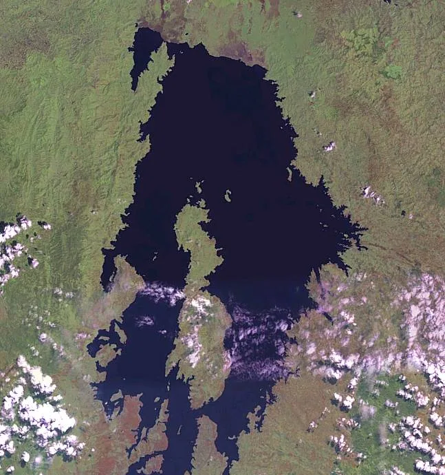
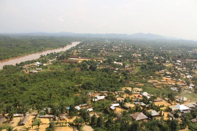
Mount Muhi, at 3,475 meters, is the highest peak in the Itombwe Massif and one of the highest mountains in the Democratic Republic of Congo outside of the Ruwenzori Range. It is located in the Sud-Kivu province and is a symbol of the pristine and wild nature of this region. The mountain is geologically part of the Albertine Rift and is characterized by steep slopes, deep valleys, and high rainfall, which feeds the dense montane rainforests and bamboo forests. Climbing Mount Muhi is extremely demanding, requiring a multi-day expedition through difficult terrain without established trails. The region around the mountain is of crucial importance for the conservation of the Eastern Lowland Gorilla (Gorilla beringei graueri), as it represents a central part of their habitat. The area is also home to many endemic bird and plant species. Despite its remote location, Mount Muhi and its surrounding ecosystem are threatened by illegal mining and poaching, underscoring the urgent need for effective conservation measures.
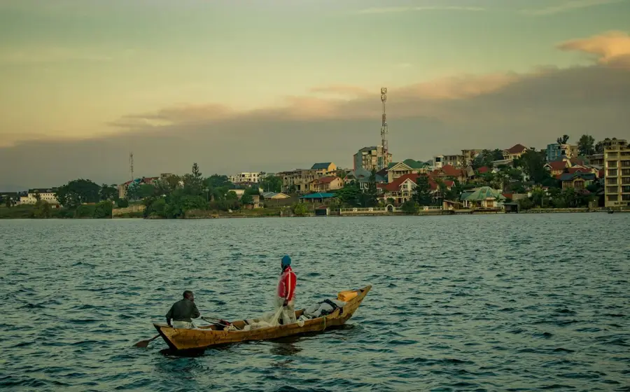
- Location: Congo - Kinshasa
- Top sights: Mont Mohi · Mont Mushive
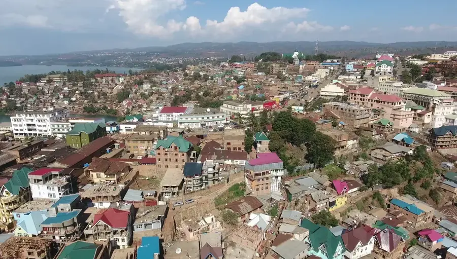
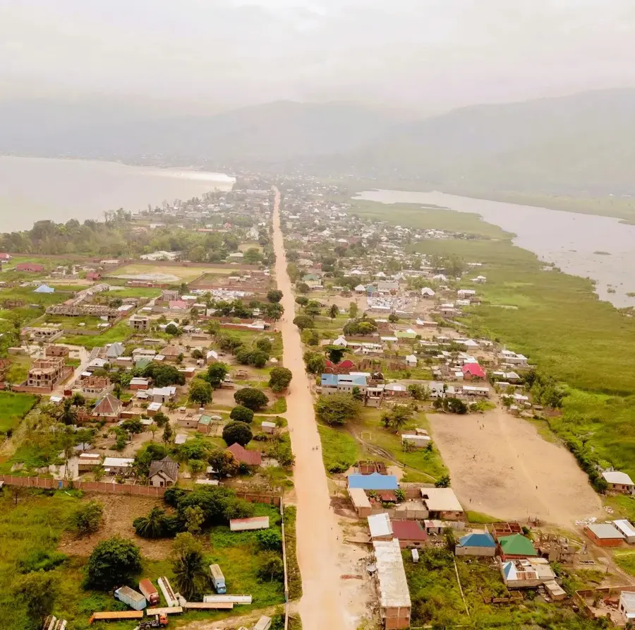
- Nearby: Walungu (30 km)
Best time to visit & climate
The most pleasant time to visit is Jun–Aug.
| Jan | Feb | Mar | Apr | May | Jun | Jul | Aug | Sep | Oct | Nov | Dec | |
|---|---|---|---|---|---|---|---|---|---|---|---|---|
| Avg °C | 17 | 17 | 17 | 17 | 16 | 15 | 15 | 16 | 17 | 17 | 17 | 17 |
| Rain mm | 180 | 157 | 221 | 213 | 107 | 43 | 24 | 61 | 127 | 207 | 352 | 210 |
📋 Practical info
Geography
Facts
- Altitude: 3,475 meters
- Highest peak of the Itombwe Massif
- One of the highest mountains in the DRC outside the Ruwenzori
- Located in Sud-Kivu province
- Central habitat for the Eastern Lowland Gorilla
- The climb is a multi-day, demanding expedition
Explore nearby
Notable places around
Route planner — Car & Motorhome
Where do you start? We build the route here, with stops and country notes along the way.
© OpenStreetMap contributors · OpenRouteService
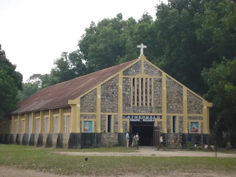
Sights in the town Mount Muhi (2)
Sights nearby
Frequently asked questions
How high is Mont Muhi?
Is the mountain a volcano?
What is the vegetation at the summit?
Can you climb Mont Muhi?
Are there marked trails?
Mount Muhi: where is it located?
Mount Muhi: what is there to see?
Mount Muhi: when is the best time to visit?
Mount Muhi: why is it worth visiting?

Nearby cities
History & landmarks

More places