Plizio Visual Lab
Kamanyola Gorge
Weather…
Water temperature…
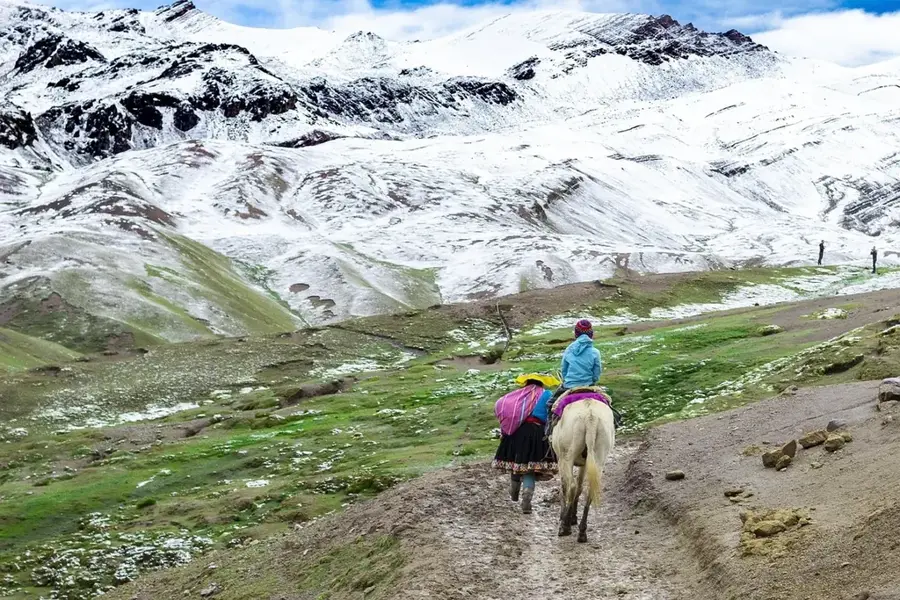
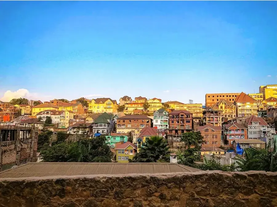
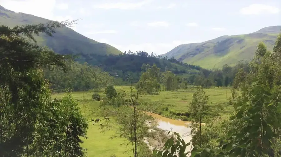
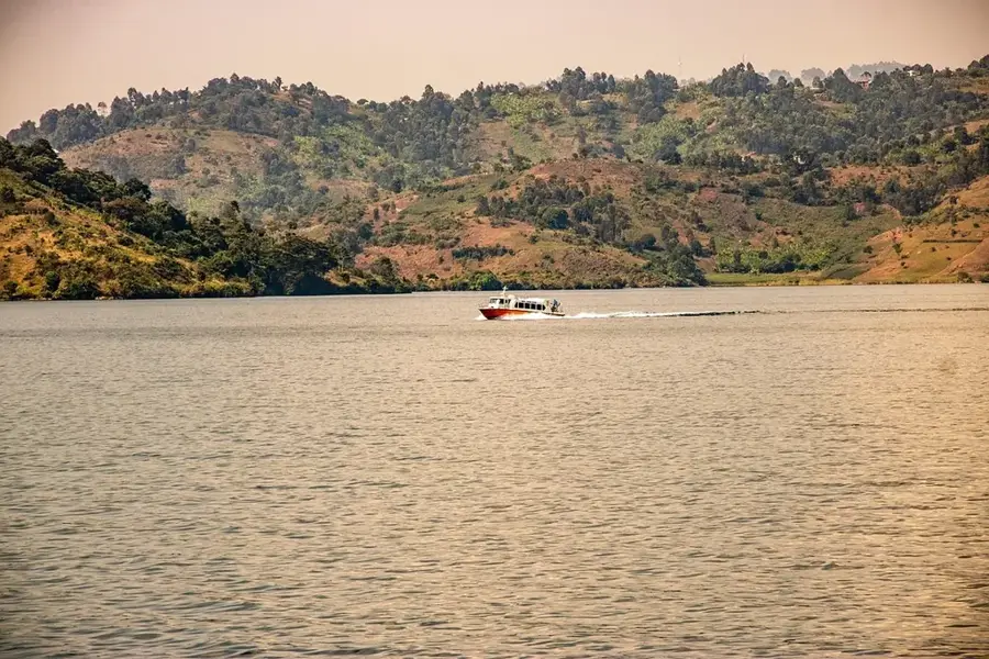
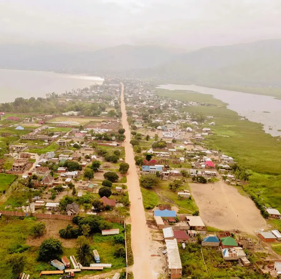
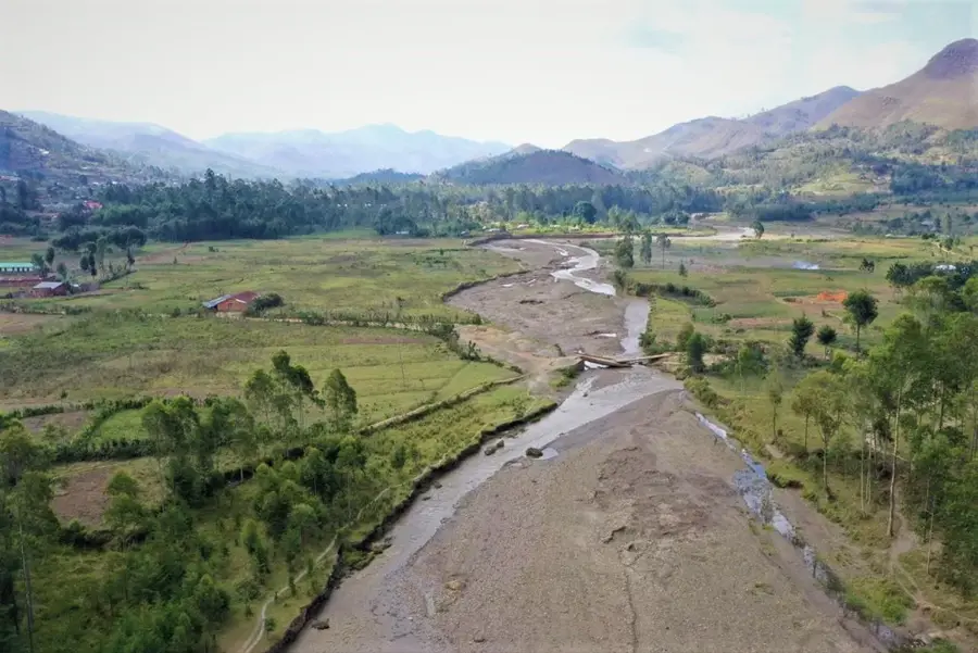
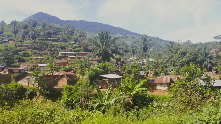
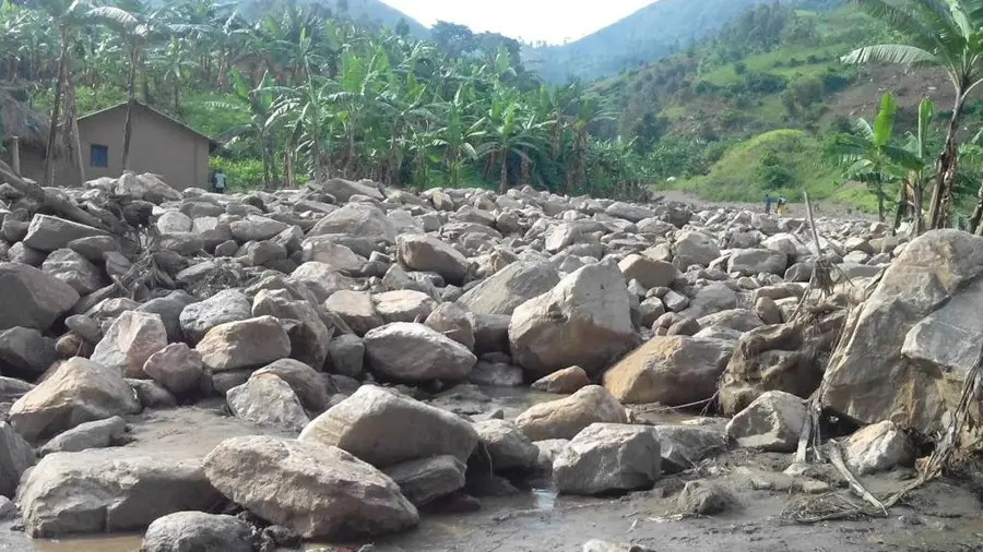
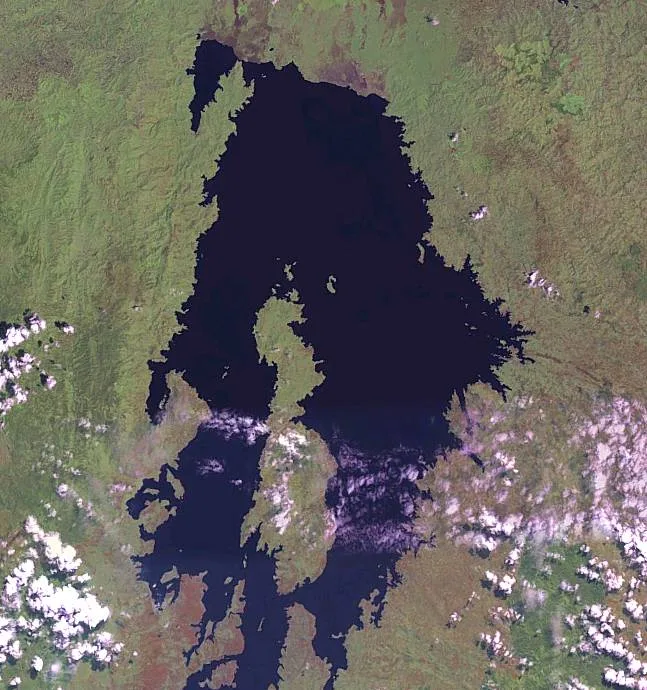
The Kamanyola Gorge is a striking geological formation in the South Kivu province of the Democratic Republic of Congo, near the border with Burundi and Rwanda. The gorge has been carved by the Ruzizi River, which flows out of Lake Kivu and drains into Lake Tanganyika. Over eons, the river has cut a deep and narrow canyon into the surrounding rock. The area holds historical significance, particularly in the context of the Second Congo War. A pivotal battle took place here in October 1996, when Rwandan-backed AFDL rebels captured the bridge over the Ruzizi River at Kamanyola, marking a turning point in the conflict. The landscape around the gorge is a mix of savanna and agricultural land. The steep slopes of the gorge are often sparsely vegetated, making them susceptible to erosion. The Ruzizi Plain, where the gorge is located, is a fertile area used for growing sugarcane and other crops. The strategic location of the gorge and its associated bridge makes it a vital transportation hub and a site of ongoing military and economic importance for the Great Rift Valley region.
- Location: Congo - Kinshasa
- Nearby: Walungu (10 km)
Best time to visit & climate
The most pleasant time to visit is Jun–Aug.
| Jan | Feb | Mar | Apr | May | Jun | Jul | Aug | Sep | Oct | Nov | Dec | |
|---|---|---|---|---|---|---|---|---|---|---|---|---|
| Avg °C | 18 | 19 | 19 | 18 | 18 | 17 | 17 | 18 | 19 | 19 | 18 | 18 |
| Rain mm | 159 | 141 | 197 | 181 | 112 | 52 | 31 | 73 | 127 | 188 | 265 | 180 |
📋 Practical info
Geography
Facts
- Carved by the Ruzizi River in South Kivu province.
- The Ruzizi River connects Lake Kivu to Lake Tanganyika.
- Site of a pivotal battle in October 1996 during the Congo War.
- The bridge at Kamanyola is a strategic transportation hub.
- Located in the fertile Ruzizi Plain.
- The landscape is a mix of savanna and agricultural land.
Explore nearby
Notable places around
Route planner — Car & Motorhome
Where do you start? We build the route here, with stops and country notes along the way.
© OpenStreetMap contributors · OpenRouteService
Sights nearby
Frequently asked questions
What is the Kamanyola Gorge?
Can you drive through the gorge?
Is the road safe?
Are there hydroelectric power plants there?
Are there viewpoints?
Kamanyola Gorge: where is it located?
Kamanyola Gorge: when is the best time to visit?
Kamanyola Gorge: why is it worth visiting?

Nearby cities
History & landmarks
More places