Plizio Visual Lab
Mirwa Escarpment

Weather…
Water temperature…
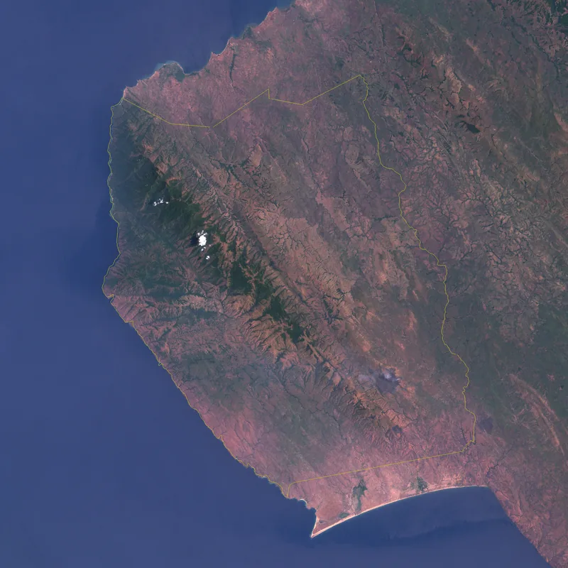
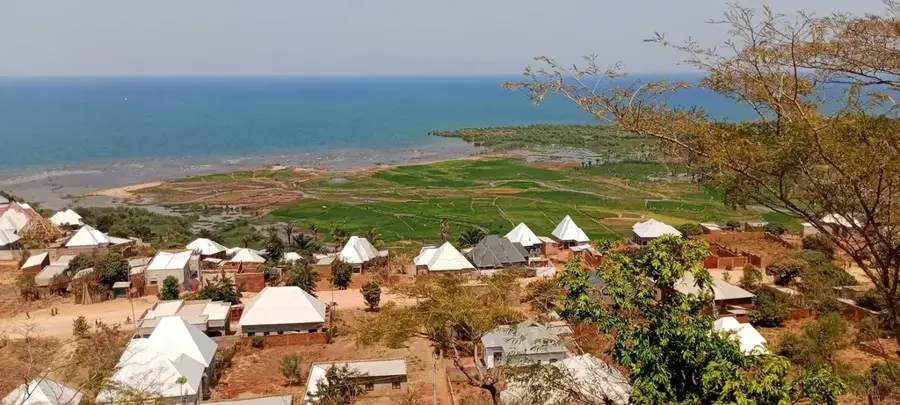
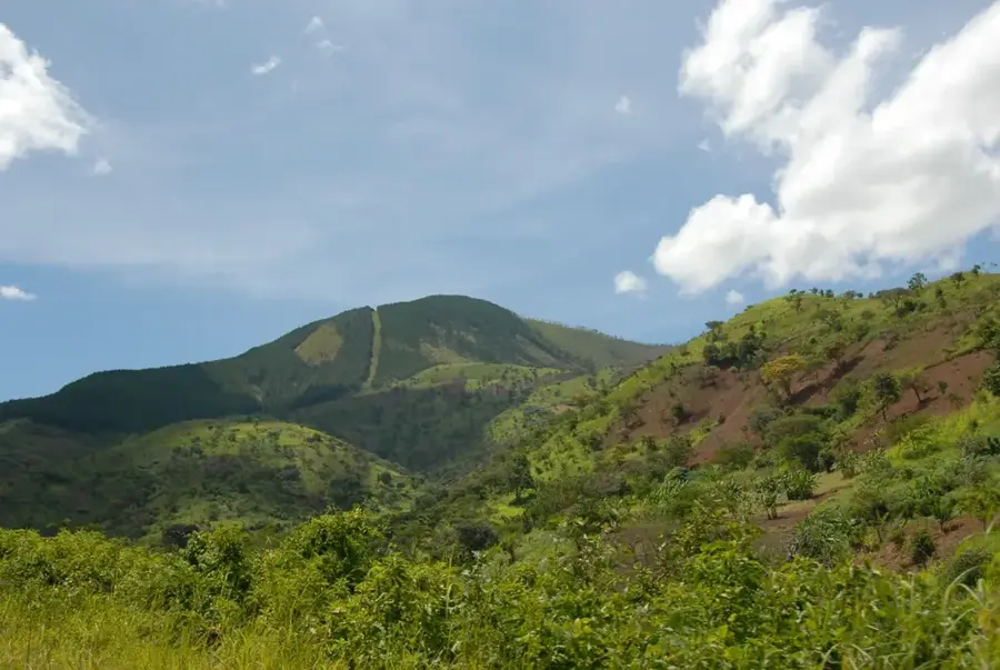
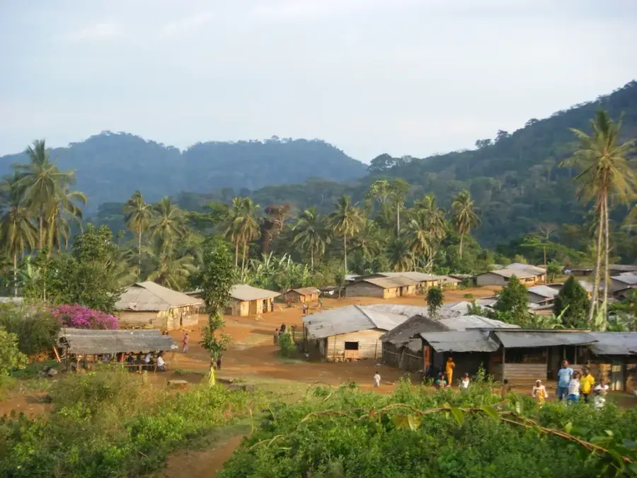
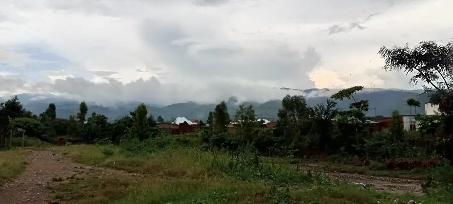
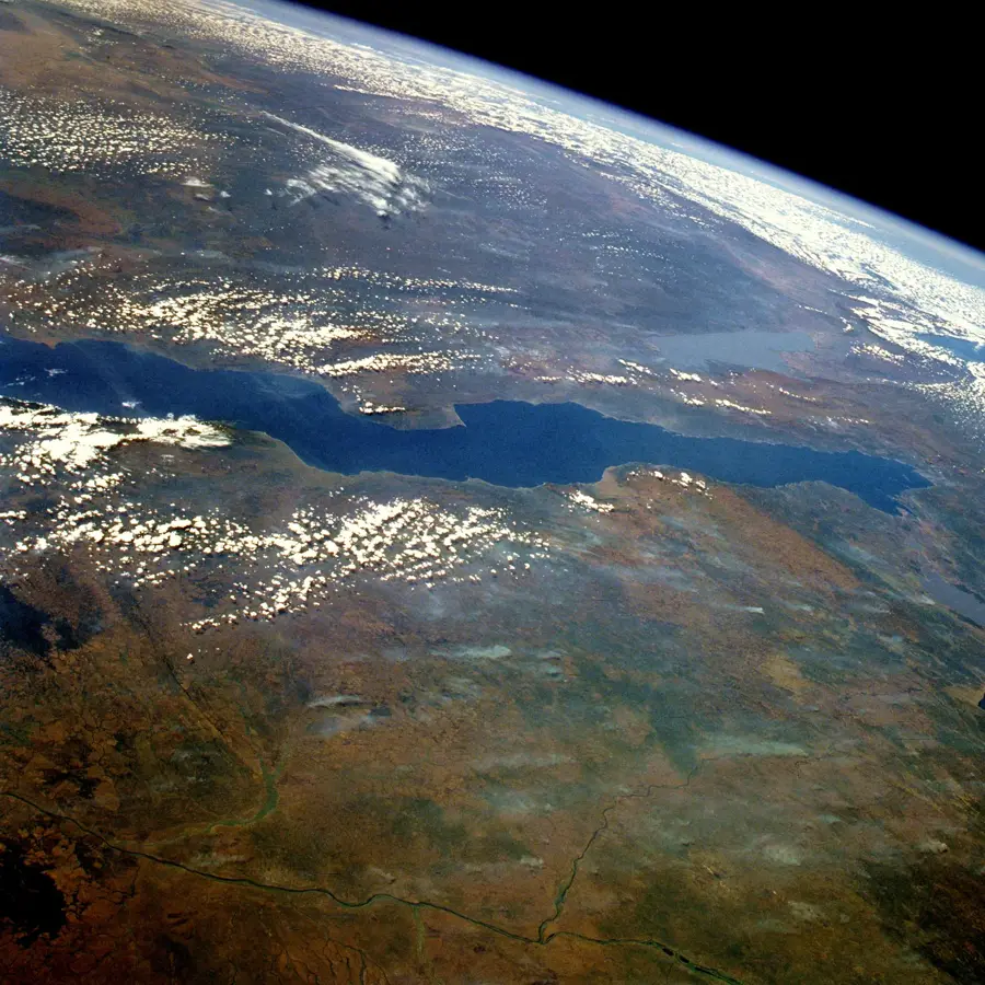
The Mirwa Escarpment is a prominent geographical feature in Burundi, forming a steep transition zone between the central plateau and the low-lying rift valley of Lake Tanganyika. Geologically, it is part of the Western Rift Valley system, characterized by dramatic elevation drops from over 2,000 meters to approximately 800 meters. The terrain is deeply dissected by numerous rivers and streams, creating a landscape of sharp ridges and narrow valleys prone to significant erosion. This region is ecologically diverse, hosting a variety of vegetation types influenced by the rapid change in altitude and climate. Agriculture is the primary human activity in the area, with coffee, bananas, and cassava being the dominant crops grown on terraced hillsides. Historically, the rugged nature of the Mirwa Escarpment served as a natural barrier, isolating the Burundian interior from early coastal influences. Today, maintaining the stability of these steep slopes through sustainable farming practices is a critical environmental priority for the nation.
- Location: Burundi
- Nearby: Rumonge (8 km)
Best time to visit & climate
The most pleasant time to visit is Jun–Aug.
| Jan | Feb | Mar | Apr | May | Jun | Jul | Aug | Sep | Oct | Nov | Dec | |
|---|---|---|---|---|---|---|---|---|---|---|---|---|
| Avg °C | 23 | 24 | 23 | 23 | 23 | 23 | 23 | 24 | 25 | 25 | 23 | 23 |
| Rain mm | 203 | 168 | 209 | 214 | 92 | 20 | 10 | 28 | 74 | 143 | 288 | 204 |
📋 Practical info
Geography
Facts
- Elevation drops from 2,000 meters to 800 meters above sea level.
- Geologically part of the Albertine Rift, the western branch of the EARS.
- Annual rainfall averages over 1,300 mm, causing high runoff.
- Key region for Burundi's Arabica coffee production on volcanic soil.
- Slope gradients often exceed 30%, necessitating terraced agriculture.
- The escarpment acts as a major watershed for the Lake Tanganyika basin.
Explore nearby
Notable places around
Route planner — Car & Motorhome
Where do you start? We build the route here, with stops and country notes along the way.
© OpenStreetMap contributors · OpenRouteService
Sights in the town Mirwa Escarpment (1)
Sights nearby
Frequently asked questions
What is the Mirwa Hills region?
What is the terrain like?
What is grown in the Mirwa region?
Are there erosion problems?
How is the view from the hills?
Mirwa Escarpment: where is it located?
Mirwa Escarpment: when is the best time to visit?
Mirwa Escarpment: why is it worth visiting?

Nearby cities

History & landmarks
Nature
More places