Plizio Visual Lab
Bambouto Mountains

Weather…
Water temperature…
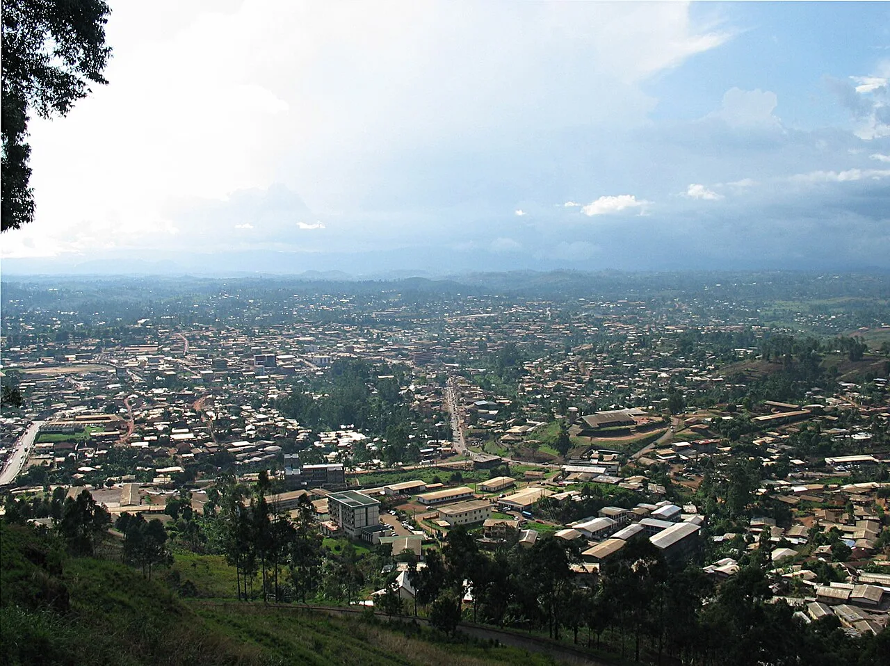
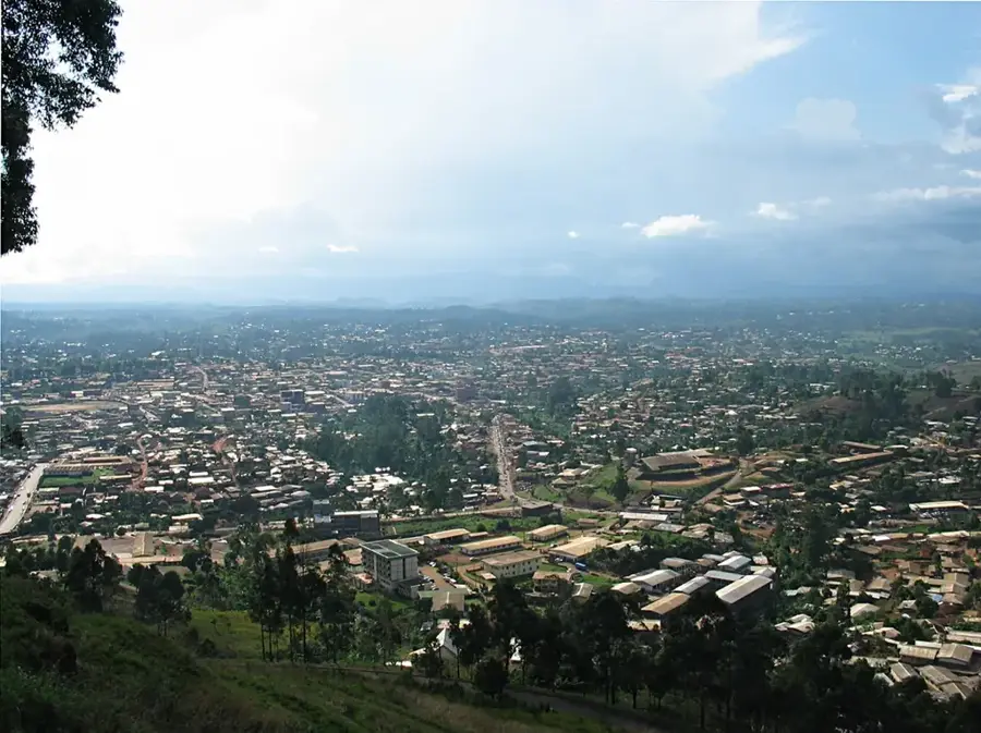
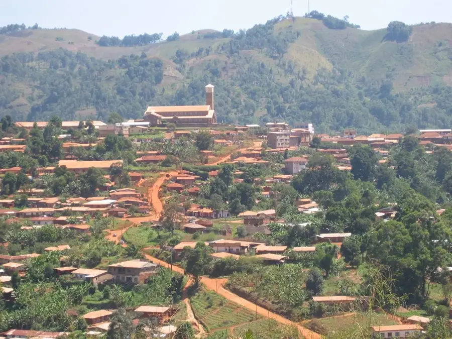
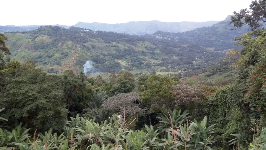
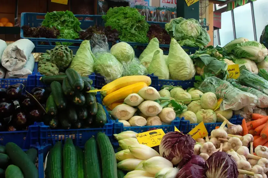
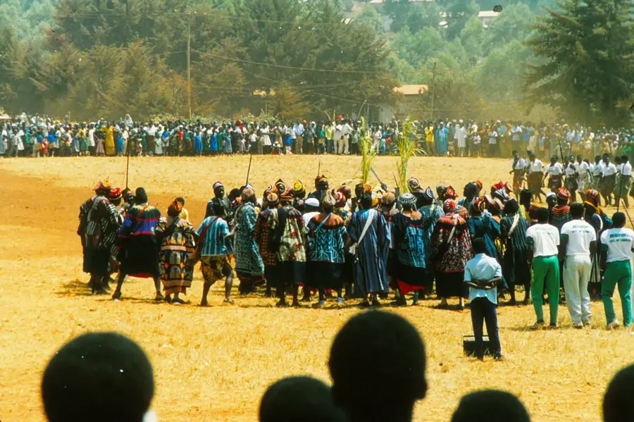
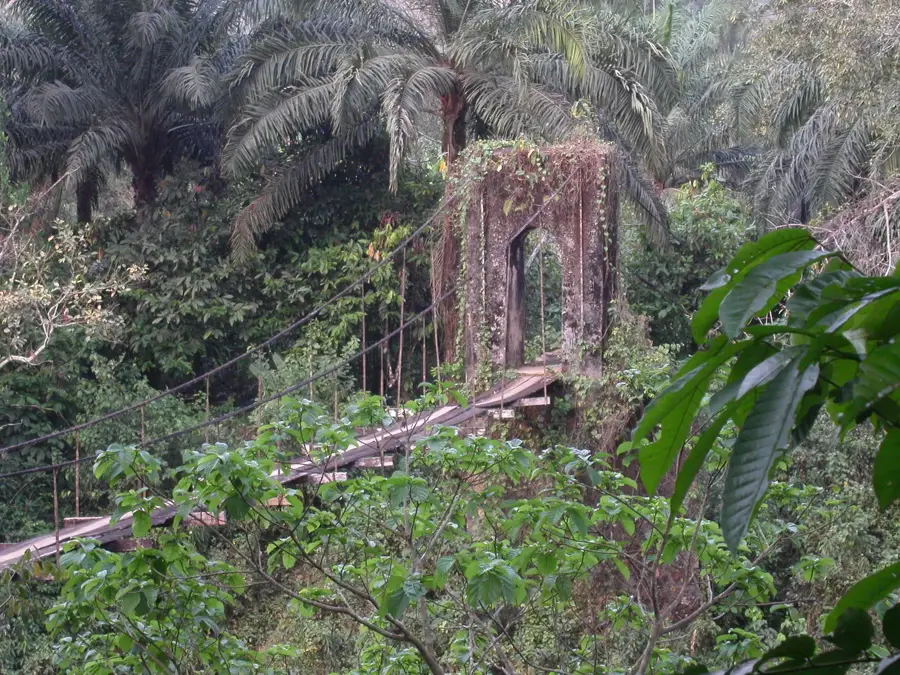
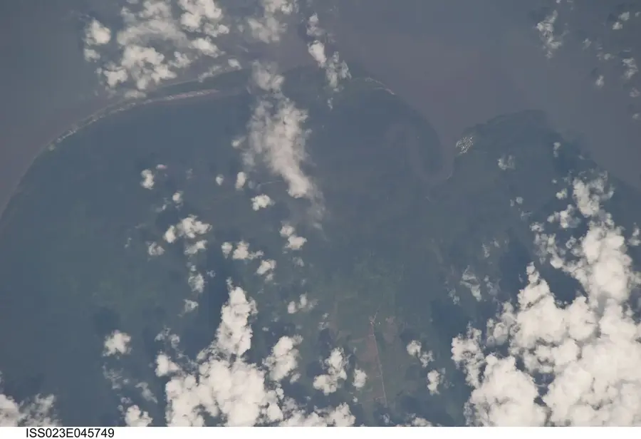
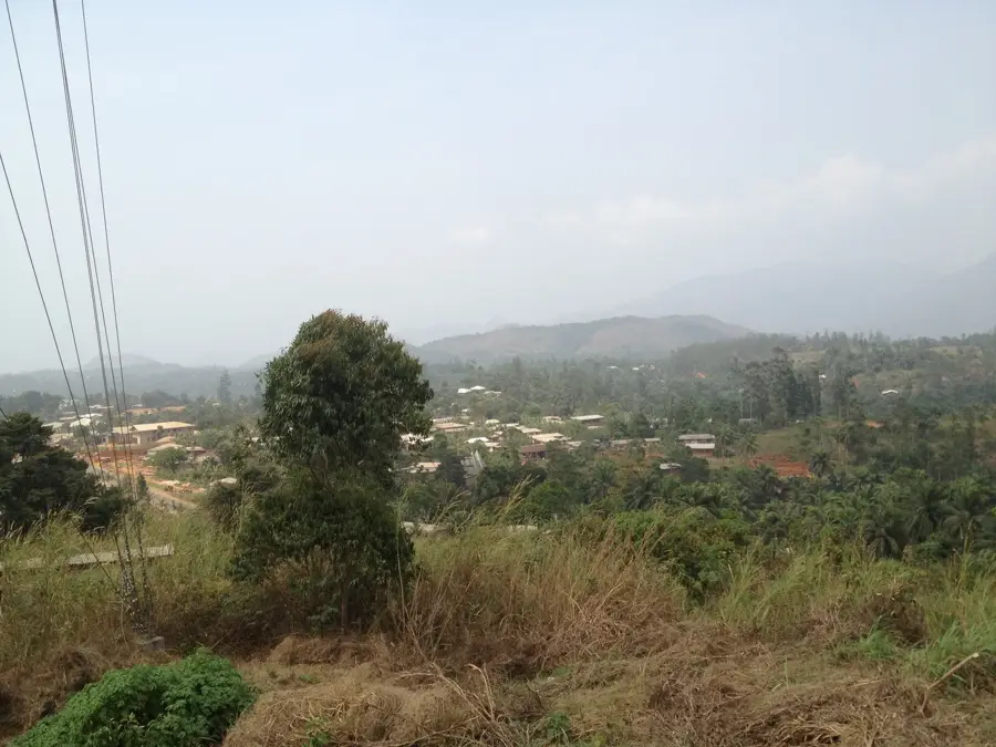
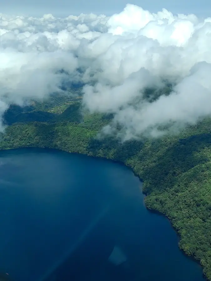
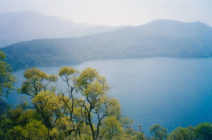
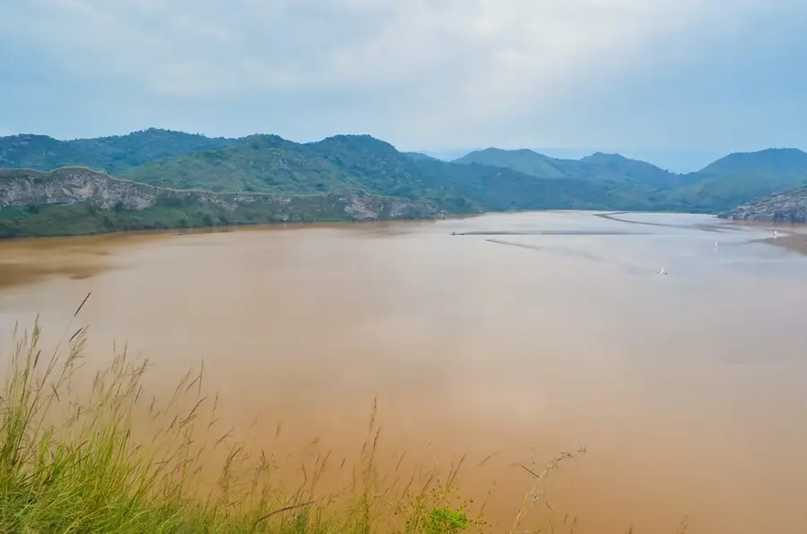
The Bambouto Mountains, often referred to as Mount Bamboutos, are a massive volcanic complex in the West Region of Cameroon, forming part of the extensive Cameroon Highlands. Reaching an elevation of approximately 2710 meters, it is one of the highest points in the country. The landscape is characterized by dramatic calderas, deep ravines, and rolling high-altitude plateaus shaped by ancient volcanic activity. Because of the elevation, the climate here is significantly cooler and mistier than the surrounding lowlands, making the region a critical agricultural hub. The fertile volcanic soils support the intensive cultivation of crops such as potatoes, leeks, and carrots, which are vital for the local economy and regional food supply. For trekkers, the mountains offer dramatic vistas, refreshing air, and a chance to observe unique afro-alpine flora. The area is also culturally significant, inhabited by communities that have developed specialized terraced farming techniques to master the challenging slopes, creating a unique patchwork landscape visible from the peaks.
- Location: Cameroon
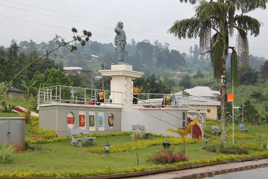
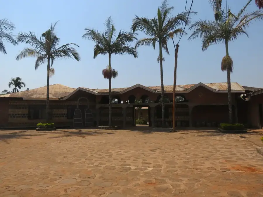
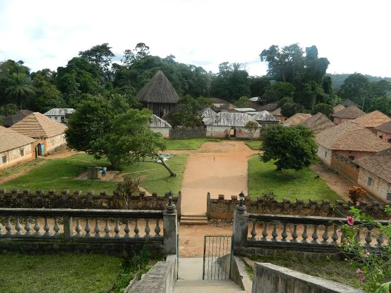
- Top sights: chefferie Bameghuie 2 · chefferie Balie · chefferie Badengang
- Nearby: Mbouda (17 km)
Best time to visit & climate
The most pleasant time to visit is Jan, Feb, Dec.
| Jan | Feb | Mar | Apr | May | Jun | Jul | Aug | Sep | Oct | Nov | Dec | |
|---|---|---|---|---|---|---|---|---|---|---|---|---|
| Avg °C | 22 | 23 | 23 | 23 | 23 | 22 | 21 | 20 | 21 | 21 | 22 | 22 |
| Rain mm | 15 | 43 | 120 | 195 | 224 | 296 | 342 | 387 | 344 | 282 | 82 | 8 |
📋 Practical info
Geography
Facts
- Maximum elevation: 2,740 m
- Massif area: 800 km²
- Rainfall: 2000 mm annually
- Coffee production: 5,000 tons annually
- Population density: 120 inhabitants/km²
- Number of volcanic craters: 10
Explore nearby
Notable places around
Route planner — Car & Motorhome
Where do you start? We build the route here, with stops and country notes along the way.
© OpenStreetMap contributors · OpenRouteService
Sights in the town Bambouto Mountains (3)
Sights nearby
Frequently asked questions
How high is the Bambouto massif?
What is grown in this region?
What does the landscape look like?
Can you hike the crater rims?
Is the region accessible year-round?
Bambouto Mountains: where is it located?
Bambouto Mountains: what is there to see?
Bambouto Mountains: when is the best time to visit?
Bambouto Mountains: why is it worth visiting?

Nearby cities
History & landmarks
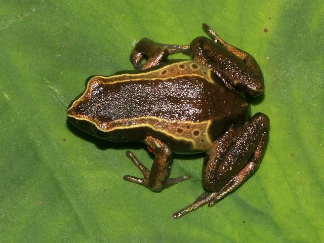
Nature
More places